Categories
- Argentina
- Chile
- Antarctica
- Easter Island
- Falklands (Malvinas)
- Bolivia
- Peru
- Uruguay
- Paraguay
- Brazil
- Venezuela
- Colombia
- Ecuador
- Galapagos
- Panama
- Costa Rica
- Cuba
- Nicaragua
- Honduras
- El Salvador
- Guatemala
- Belize
- Mexico
- Latin American Xmas
Pages
- Street Art of Buenos Aires
- A week in Buenos Aires
- The Jesuit Missions in South America
- Contact Us
- Map of Central America
- First week in Latin America – October 2009
- Home Page
- Map of South America
Archives
- October 2011 (3)
- September 2011 (9)
- August 2011 (10)
- July 2011 (7)
- June 2011 (6)
- May 2011 (11)
- April 2011 (10)
- March 2011 (4)
- February 2011 (5)
- January 2011 (6)
- December 2010 (6)
- November 2010 (4)
- October 2010 (8)
- September 2010 (5)
- August 2010 (7)
- July 2010 (5)
- June 2010 (6)
- May 2010 (6)
- April 2010 (7)
- March 2010 (6)
- February 2010 (9)
- January 2010 (4)
- December 2009 (8)
- November 2009 (5)
- October 2009 (2)
La Paz, Baja California
30th September 2011
Baja California is a very different part of Mexico, hot and dry. Although it was “discovered” by Hernán Cortés in 1535 and the Jesuits founded the first mission in 1697, the desert peninsula was never colonised by the Spanish to any extent. We flew into scorching hot La Paz [36] and immediately took shelter in the air conditioned hotel room waiting for the cool breeze of the evening when the locals appear on the Malecón which runs around the bay. Many restaurants and bars along the shore provide views of the famous Baja sunsets. After 2 years, we were ready for a real Chinese meal and we enjoyed the Restaurant Nuevo Pekín so much we went back again the next night!
.
We took a boat trip to the nearby rugged Espiritu Santo Island in the Sea of Cortes. It is treeless and rocky with many different faces. After snorkelling with a colony of sea lions we stopped at a white sand beach for lunch. On the way back, a large pod of dolphins followed the boat; one leaping high into the air, splashing down heavily.
.
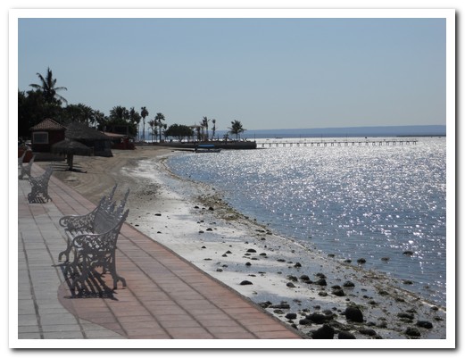
The Malecón at La Paz overlooks the Sea of Cortés
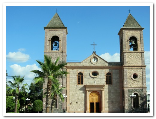
Catedral de Nuestra Señora de la Paz
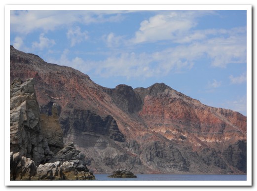
Espiritu Santo Island ...

... 30 kilometres from La Paz ...
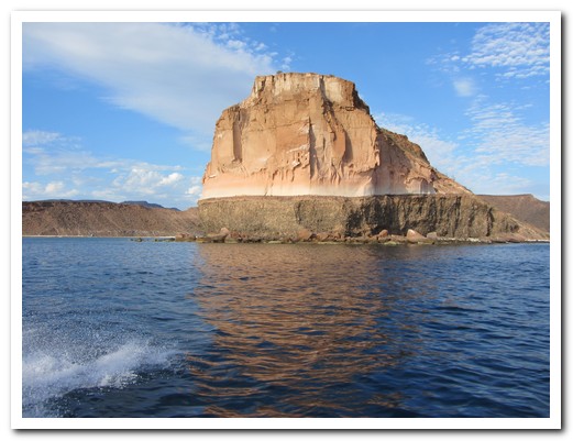
... has many different faces
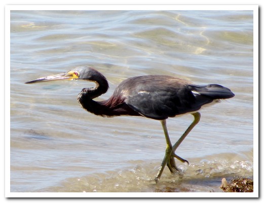
Sea bird on the Island

We went snorkelling with the Sea Lions ...

... in crystal clear water

Two dolphins followed our boat
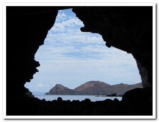
Inside a rocky cave looking out

Map of Australia Island (?)
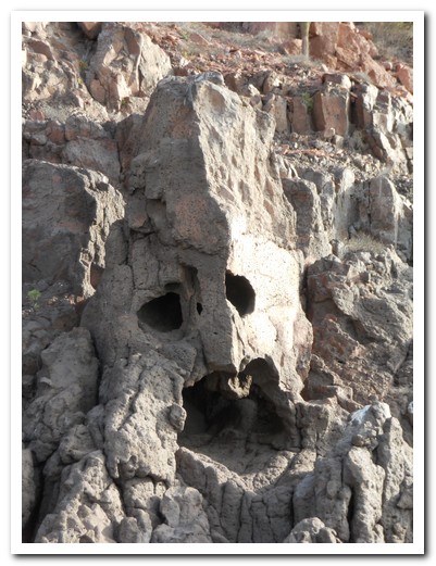
A mask in the cliff face
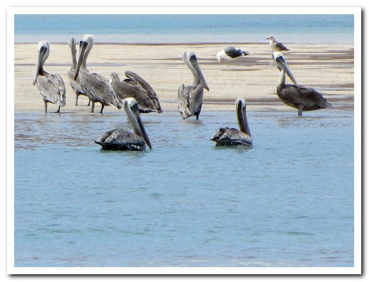
Pelicans resting in the warm water
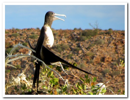
Nesting Frigate Bird drying his wings

A dolphin splashes down
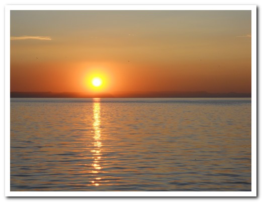
The big Baja sun sets on the way back to La Paz
Around México City
27th September 2011
The metro system in México City [33] is safe, clean, efficient and idiot proof. Pretty much anywhere in México City is within 30 minutes of the Centro. We ventured to the southern suburb of Xochimilco where canals flanked by raised gardens on artificial islands dating back to Aztec times still remain. Brightly painted trajineras (gondolas poled by hand) ply the canals, other boats selling food or offering live mariachi music follow alongside. After two hours of slowly moving along the narrow countryside waterways, we knew we had reached the Isla de las Muñecas (Island of the Dolls) when we spotted thousands of dolls and doll parts hanging eerily from the trees. For many years the owner fished out dolls floating in the canal hanging them in the trees to appease the spirit of a girl who had drowned there 50 years ago. He died there in 2001. Some say the dolls came alive and killed him.
.
Tepotzotlán [34] is 30 kilometres to the north. The former San Francisco Javier Jesuit church, built 1580, contains beautiful gilded altars full of carved angels and saints. The attached monastery is now a museum, the best in the country, of early Spanish history in México.
.
The pretty hillside pueblo of Taxco [35] lies 140 kilometres to the south. The crowning glory is the Baroque Santa Prisca Church perched high on one of the hills, just one of many churches visible. A rabbit warren of steep, cobbled streets twist and turn through a bustling market and uniform red and white buildings. It is the only silver town to completely retain its old character; there are no surrounding modern suburbs.
.

Buskers on the Metro
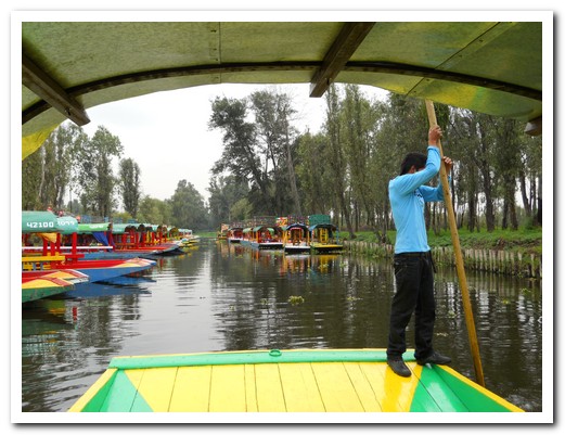
Trajineras (Gondolas) at Xochimilco

Gliding along the canals
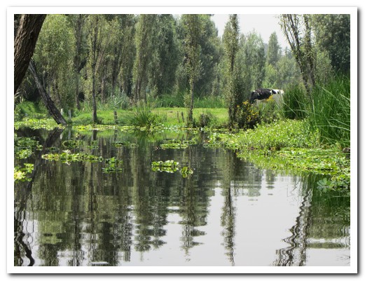
Beautiful reflections early in the morning
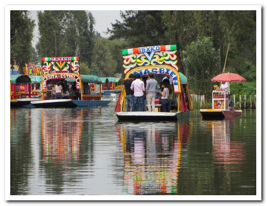
Food vendor approaches the party boats
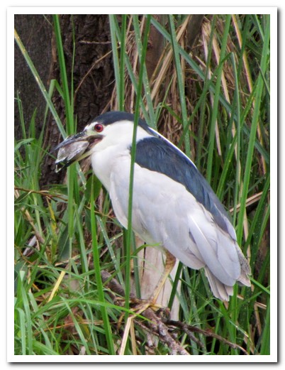
Heron with fish caught in the canal

Water bird
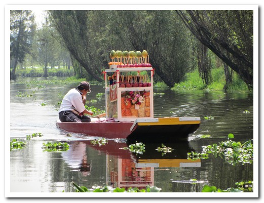
Food boat with mangoes and potato chips for sale
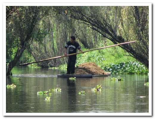
Manure for the gardens is delivered by boat
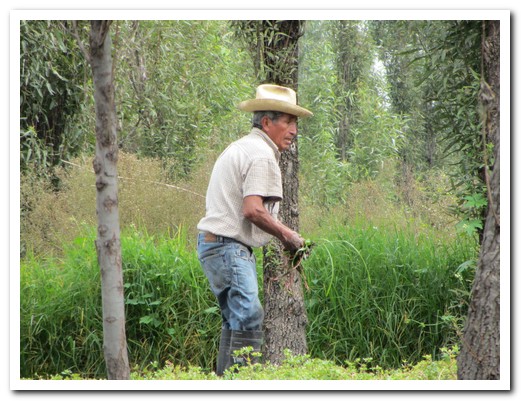
Farmer works his field

A raised garden of marigolds for the Day of the Dead
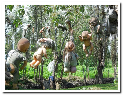
Thousands of dolls ...
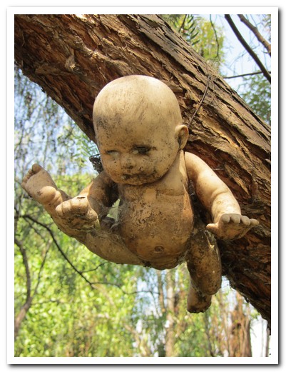
... hang from the trees ...
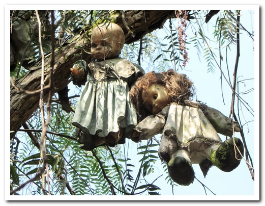
... to appease the spirit of a drowned girl ...
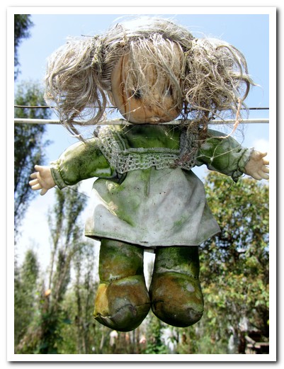
... create an eerie feeling ...
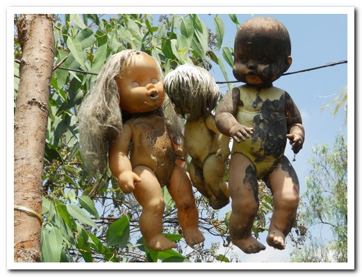
... at the Isla de las Muñecas ...

... Island of the Dolls
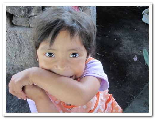
A real little doll

Ingredients for picante (hot sauce) sizzling on the comal ...
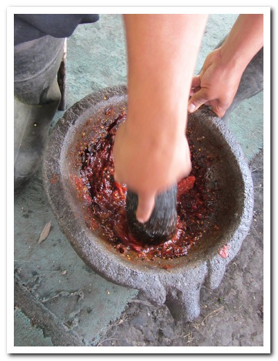
... to be processed in the Mexican blender
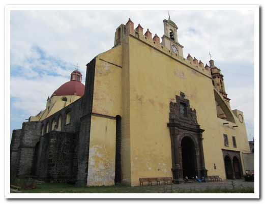
1567 Xochimilco Cathedral

Iglesia de San Francisco Javier Tepotzotlán, former Jesuit college
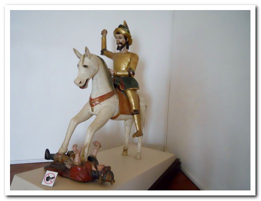
Santiago Matamoros, Patron Saint of Spain and a central figure in the re-conquering of Spain

Inside the church - indigenous carvings ...

... on gold altars with angel and saints

The 16 Spanish castes in New Spain
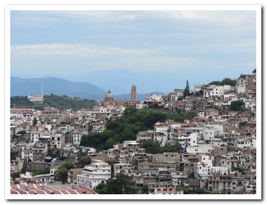
Hilltop Pueblo Magico of Taxco
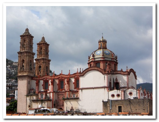
Taxco Cathedral
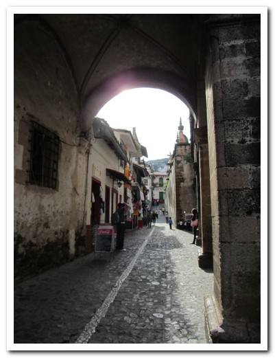
Narrow cobbled street
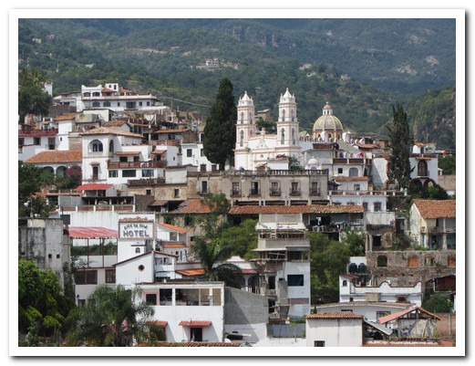
Another of Taxcos churches
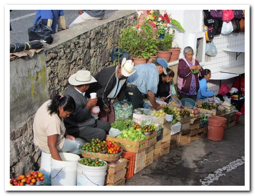
Market in Taxco
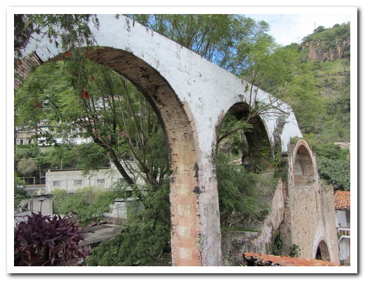
The aqueduct bought water to run the silver mill in the 16th century

Church
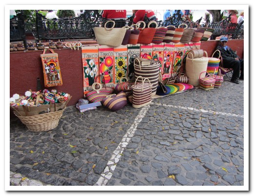
Beautiful baskets for sale
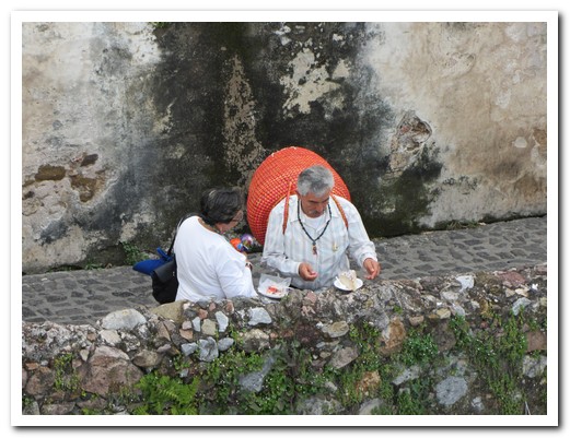
This man bought one to take home

The Conquistadores also adored Santiago
México City
26th September 2011
 México City [33] is one of the largest cities in the world with over 20 million people, and one of the highest at 2240 metres. We arrived as crowds poured into the centre to celebrate Independence Day eve with a speech by the President followed by fireworks which we watched from the rooftop of our hotel.
.
It all began with the nomadic Aztecs. While wandering the swamps around Lake Texcoco near the present day city, they witnessed a prophesied sign of an eagle standing on a cactus, eating a snake (now the symbol of México). They stopped to build their city Tenochtitlán, turning swampy land into raised gardens. The Spanish arrived in 1519, destroyed the city and filled in the swamp to build a sophisticated European style capital. War or disease then killed most of the original inhabitants. The Templo Mayor, the main temple of the Aztecs, was taken apart and used to build the new Spanish colonial city. The Temple’s exact location was forgotten until 1978 when it was accidentally re-discovered adjacent to the Zócalo (main plaza) and the Cathedral. The heavy buildings of the Spanish have a tendency to sink into the old lake bed, and parts of the city have subsided over 8 metres giving today´s old city a strange tilted look.
.
We made the mistake of going to the National Anthropology Museum on a Sunday when entrance is free for Mexicans. This is certainly the world´s finest museum of pre-Hispanic Mexican cultures, demanding several hours for a quick visit and attracting huge crowds. Mexican families stroll enthralled by their ancestor´s past glories, obviously proud and involved. If you want to see some photos of the exhibits, click here.
.
Our two favourite Mexican artists are Diego Rivera (1886 – 1957) and Frida Kahlo (1907 – 1954). We managed to see their work in several places around the city. An enjoyable Sunday stroll through the tranquil leafy cobbled suburbs of Coyoacán and San Ángel was a real contrast to the bustling chaos of the Centro Historico. When Frida and Diego lived here these suburbs were small towns, separate from México City. We made the pilgrimage to the (blue) former home and resting place of Frida which is now a museum and on to the separate houses joined by a walkway where Frida and Diego lived when they were married.
.
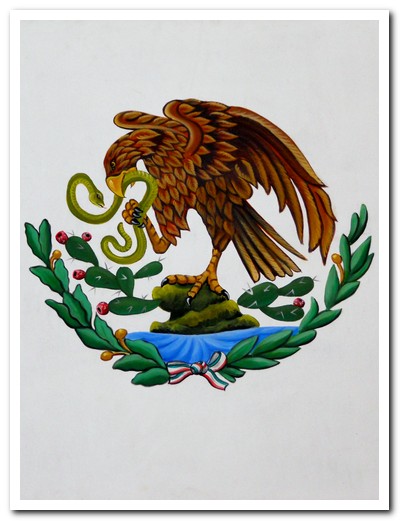
Aztec vision has become the symbol of México featured on the flag

Fireworks for Mexican Independence Day, 16 September
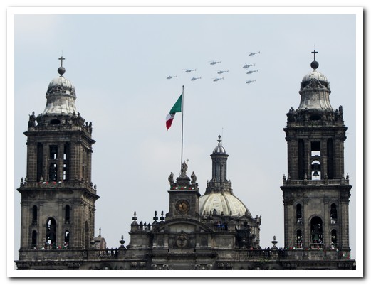
Helicopters fly past the Cathedral for the Independence Day celebrations

This Templo Mayor patio had several superimposed floors to counteract sinking and floods
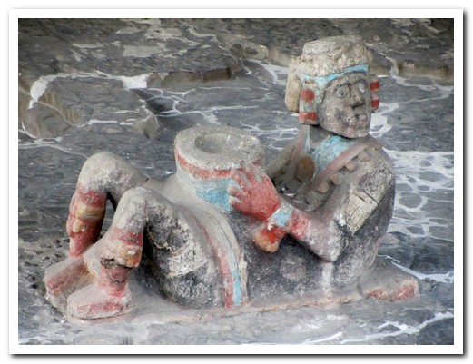
Chac Mool also appeared in Toltec Tula and Mayan Chichén Itzá
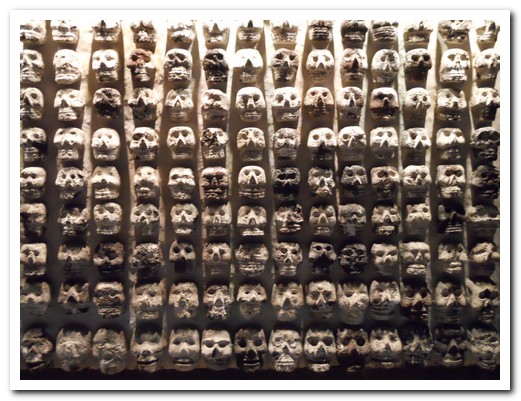
Aztec wall of 240 stone skulls (similar to Tula and Chichén Itzá)
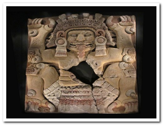
Tlaltecuhtli Diosa de la Tierra (God of the Earth) – foetus has been removed
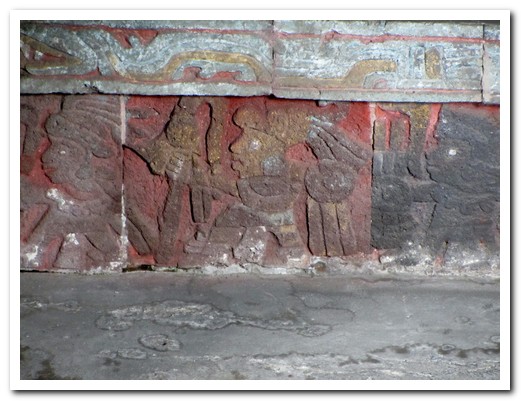
Relief carvings of warriors on the Templo Mayor
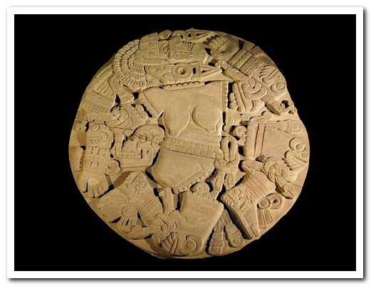
Coyolxauhqui was dismembered and her head tossed into the sky to became the moon
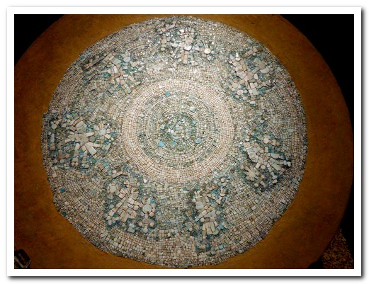
Mosaic of tiny pieces of turquoise
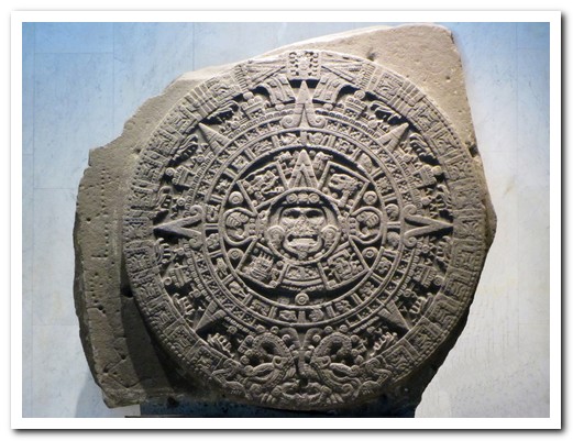
Aztec sun stone, a a large monolithic sculpture found in 1790, is a sacrificial altar not a calendar
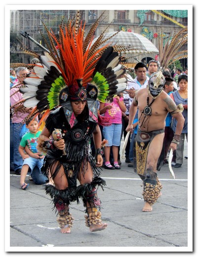
Aztec healers ...
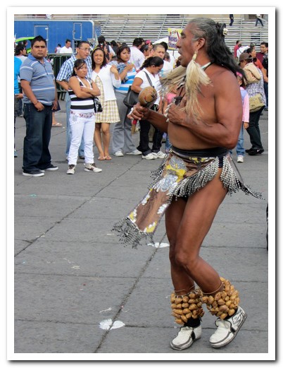
... in the Zócalo

The Cathedral was built on top of the Aztec sacred area near the Templo Mayor
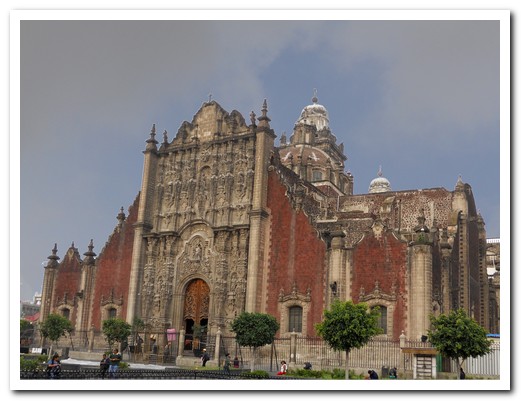
Sagrario beside the Cathedral - it really tilts to the right
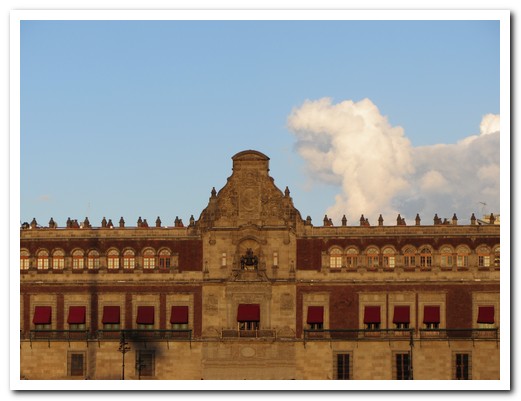
Government Palace opposite the Cathedral across the Zócalo
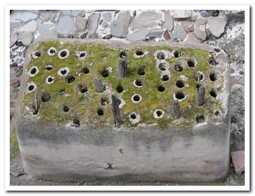
Aztec foundation technique using hardwood anchored in stone was adopted by the Spanish ...

... but many buildings such as the Templo de la Santisíma tilt badly
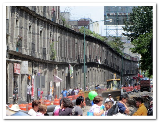
Another subsiding building - stabilisation involves trying to make it sink evenly

House of tiles
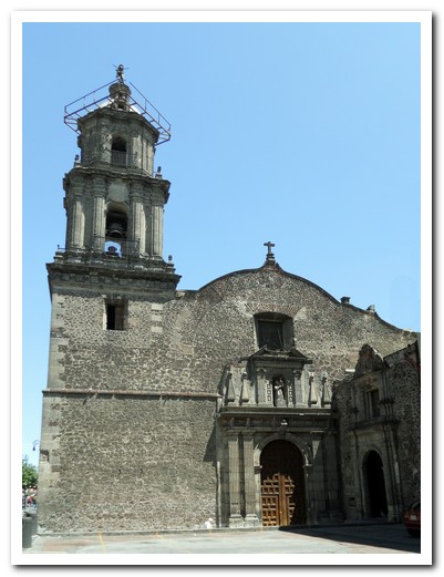
Templo de Jesús Nazareno - Cortes is buried here
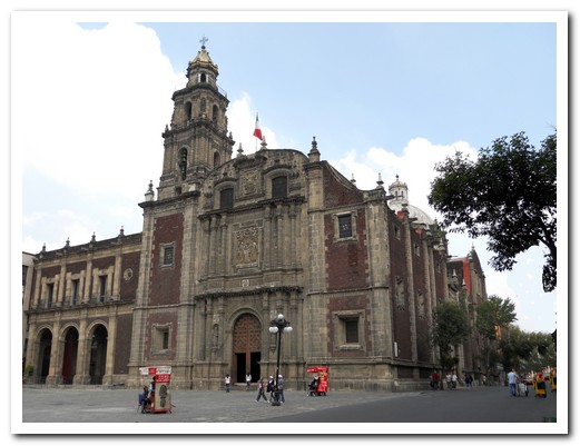
Santo Domingo – the Dominicans ran the Inquisition in Nuevo España from ...

... the Palace of the Inquisition opposite - headquarters of the Inquisition from the beginning of the colonial period until the Mexican War of Independence (1812) - this building dates from 1732

City residence in red volcanic rock - all building were originally made from this light rock
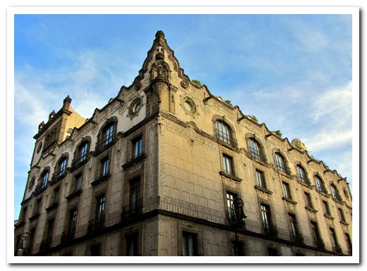
Our hotel in a historic 1800s building
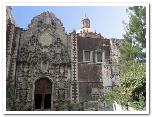
San Francisco
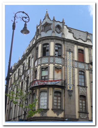
City building
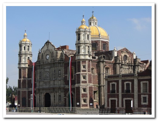
Basilica of Guadalupe, Méxicos most famous pilgrimage place

Carpet of coloured sawdust outside the Basilica

Templo del Posito, near the Basilica
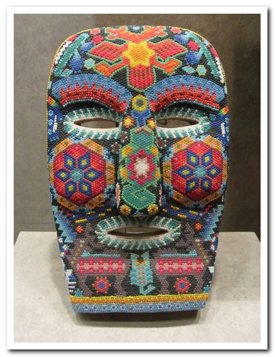
Mask covered with tiny coloured beads (National Anthropology Museum)
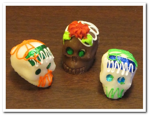
Chocolate and sugar skulls are already in the shops for the Day of the Dead (November 2)

Part of a 15 metre long mural by Diego Rivera ...
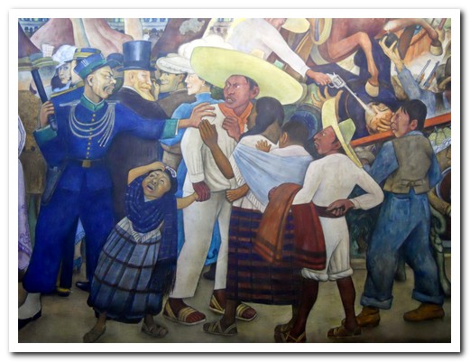
... called Sunday Afternoon in the Alameda

More murals by Diego Rivera (1886-1957) ...

... painted in 1928
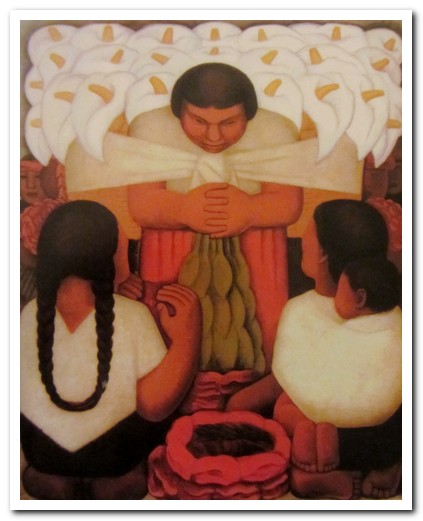
Diego Rivera painting
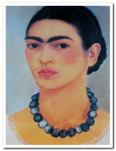
Mexican artist Frida Kahlo (1907-1954)
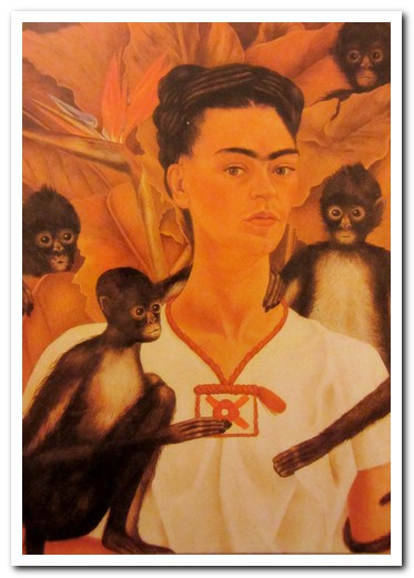
Frida Kahlo painting - self portrait

Selma Hayek as Frida in the movie of 2002

The Blue House, Fridas home in the suburb of Coyoacán
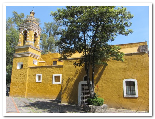
One of the churches in the pleasant leafy suburb of Coyoacán
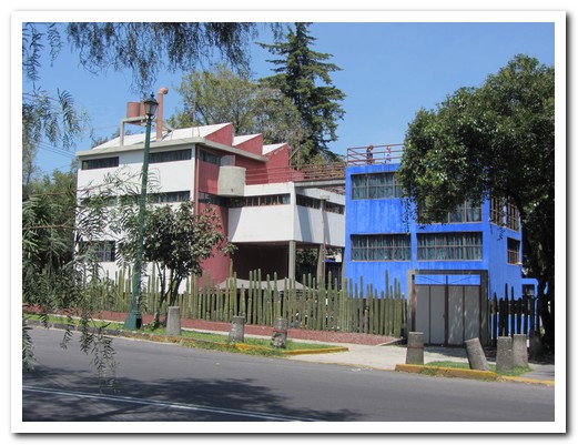
Diego Rivera and Frida Kahlo lived in separate houses, joined by a walkway, in barrio San Ángel
San Miguel de Allende
15th September 2011
The Hollywood movie “Once Upon a Time in México” (2003) was filmed in charming San Miguel de Allende [32]. A Franciscan friar, Juan de San Miguel founded the city that bears his name in 1542. It is now World Heritage. With bougainvillea tumbling down the muted multi-coloured houses that crawl up the hill side, cobbled streets, a bull ring and clear blue skies it is the classic Mexican colonial town. No wonder thousands of expatriates, mainly US retirees have settled here.
.
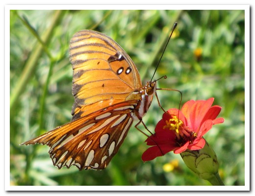
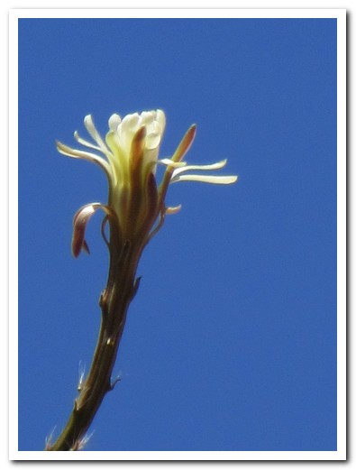
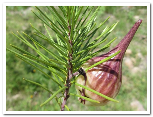
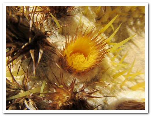
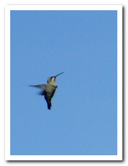
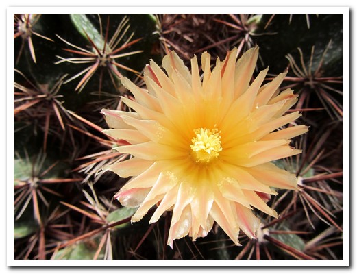
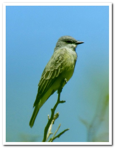
We arrived on a Sunday afternoon to find the central plaza packed, a band playing salsa, folks dancing and food carts doing a roaring trade. The Jardín Botánico, 30 minutes walk from town, has over 1000 species of cactus. Many birds and butterflies are attracted to the flowers growing there. The Santuario de Atotonilco is a World Heritage Site, built in the 18th century. The interior is a real surprise, adorned with rich Mexican Baroque murals. It´s about 20 minutes by taxi from San Miguel and an immensely important pilgrimage site for Mexicans.
.
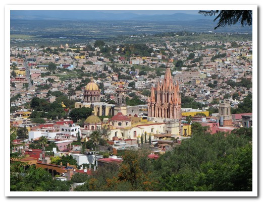
San Miguel de Allende
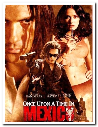
Filmed in San Miguel de Allende (2003)
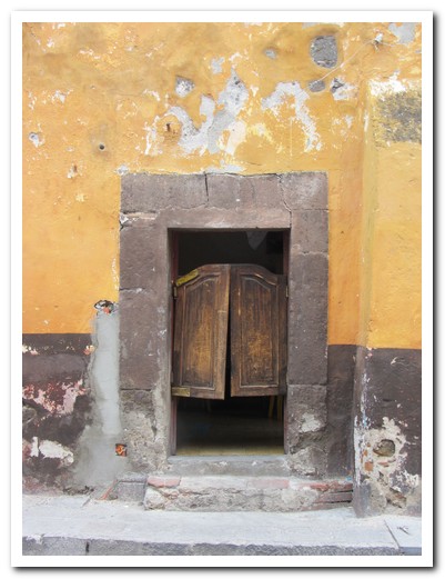
Behind these swinging doors lies a real Mexican cantina
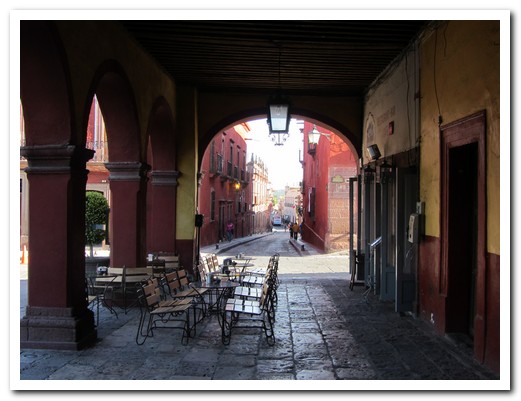
Arcade around the main Plaza
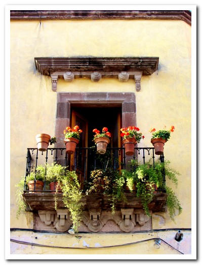
Plant filled window
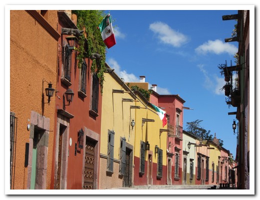
Muted coloured houses of the streets of San Miguel
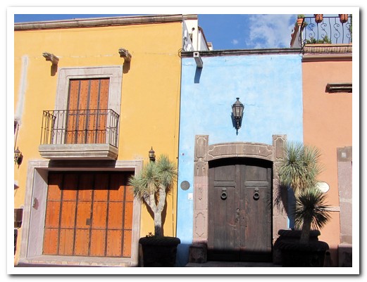
The houses are narrow, but deep
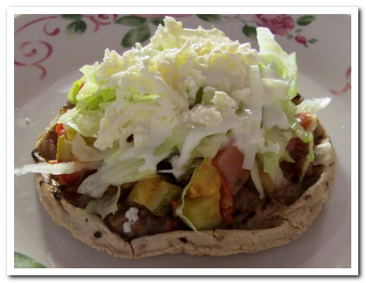
Sope - a tortilla with raised edges full of beans and salad
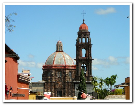
One of the churches in the centre
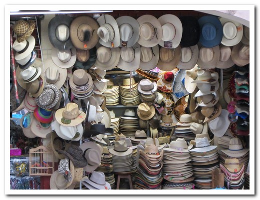
Hats for sale at the market
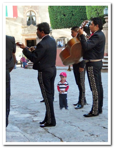
Boy fascinated by mariachis
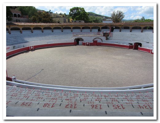
San Miguel´s bull ring
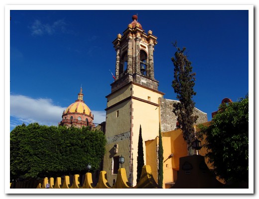
Church
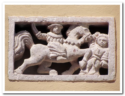
Santiago Matamoros
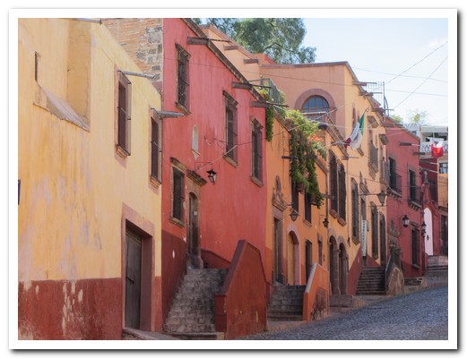
Houses winding up the hill
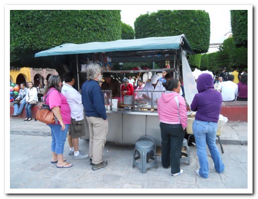
Jeff waits patiently for his hamburger
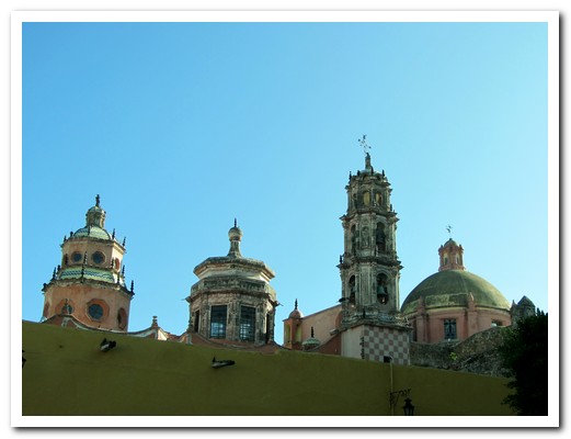
View of church domes
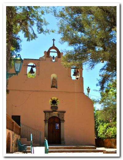
San José chapel
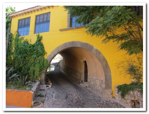
Cobbled street goes right through this house
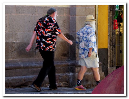
A couple of San Miguel´s expat retirees
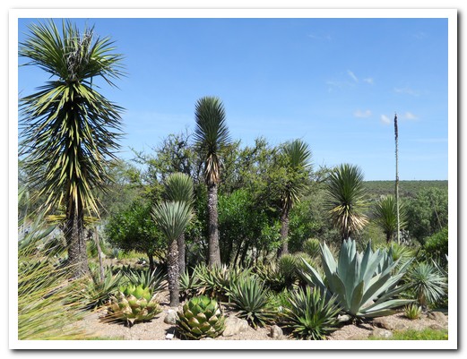
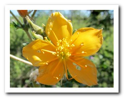
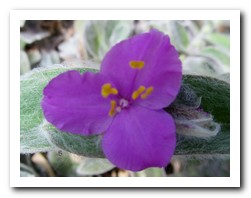
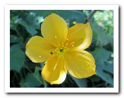
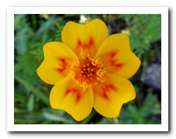
Botanical Gardens on the outskirts of town

 |
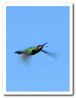 |
| Colibrí – Hummingbird – in action |
 |
 |
 |
 |
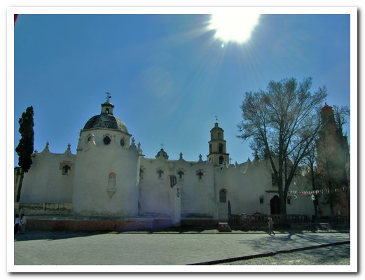
The austere walls of Santuario de Atotonilca ...
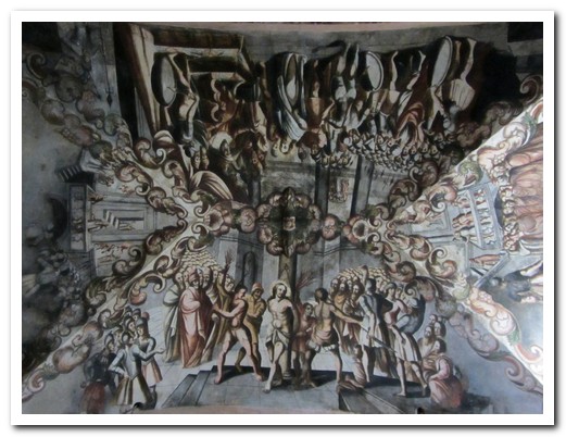
... hide beautifully painted ceilings
Morelia
11th September 2011
Morelia [31], capital of Michoacán state, was founded in 1541. Originally Valladolid, it was renamed after the Mexican War of Independence (1810–1821). Buildings in the historic centre are all of an attractive light brown stone, the magnificent cathedral being the centre piece. Morelia is a university town and the faculties now occupy many of the former monasteries. Arched arcades surround the large Plaza de Armas – “The entire plaza (of all Hispanic-American cities) should have portals because they offer much comfort …” ordered King Philip II of Spain (1527-1598).
.
It was impossible to pass through the Mercado de Dulces (sweets market) without buying something. Also delicious is a local fruit salad, gaspacho, which is served with chilli, lime juice and salt. Chamorro, another culinary specialty, is slow cooked pork shank in a rich black sauce of dried chillies with pulque (a type of beer made from cactus) – falling-off-the-bone, melt-in-the-mouth delicious.
.
Leafy parks, sprouting fountains, and even a 253 arch aqueduct make the city a great place for strolling. We were delighted to encounter a performance of La Danza de Los Viejos (The Dance of the Old Men) in the main Plaza. In reality, the “Old Men” are young boys in costume. Here is a short video.
.
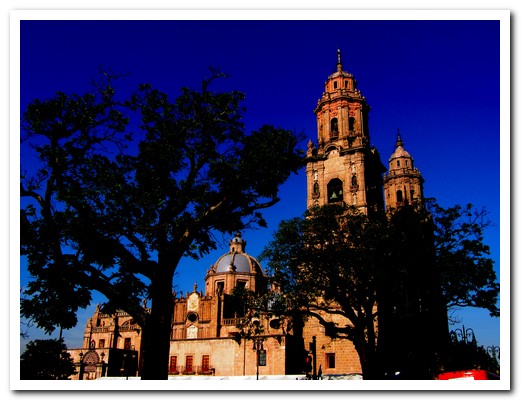
Morelias magnificent Cathedral took 100 years to complete (1640-1744)
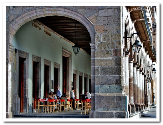
Arcades around the Plaza de Armas
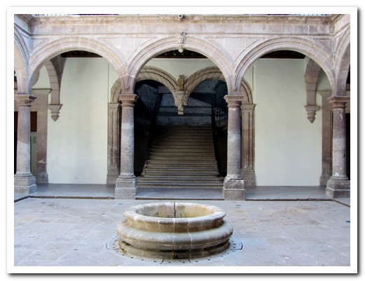
One of many colonial courtyards
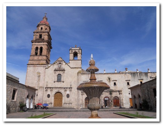
San Agustin
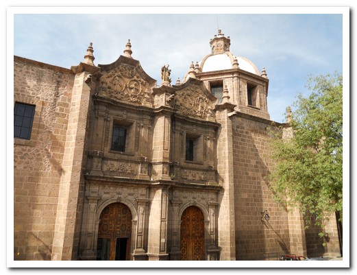
Templo de las Rosas
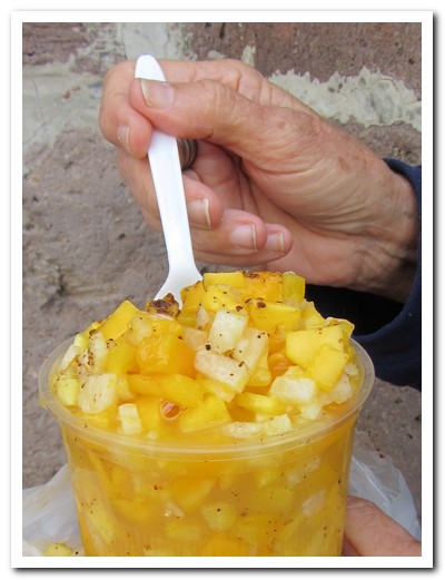
Gaspacho - mango and pineapple with lime juice, chilli and salt - great
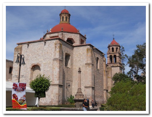
Former Jesuit Church ...
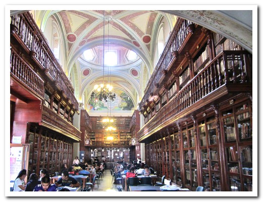
... now the University Library contains 1000s of Agustin & Franciscan volumes
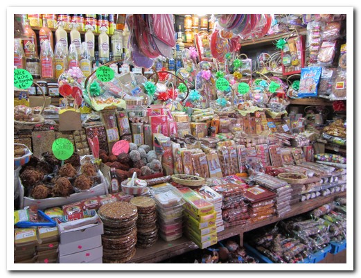
Mercado de Dulce (Sweets Market)

Some of the delicious local sweets
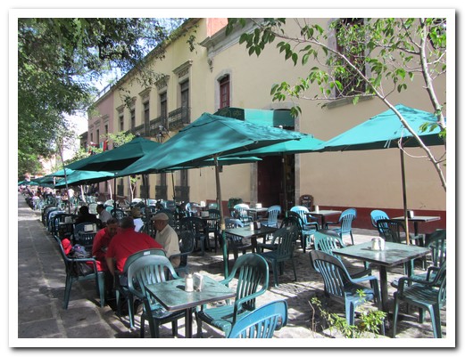
Old men play chess in a leafy Plaza
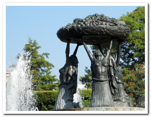
Las Tarascas Fountain with indigenous women holding a basket of fruit
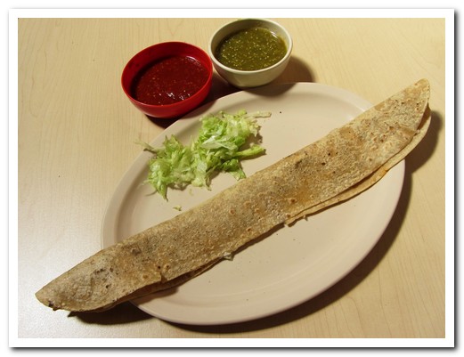
40 centimetre long quesadilla
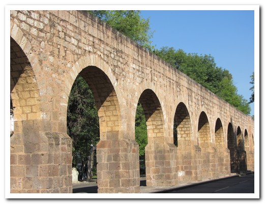
Aqueduct, built 1785, bought water to Morelia
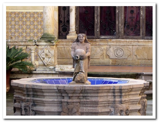
Morelia is a city of fountains
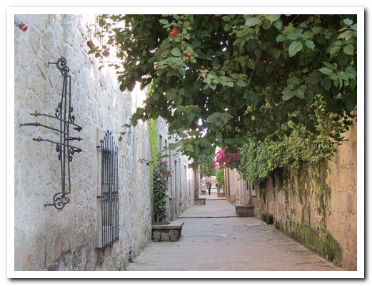
Romance alley
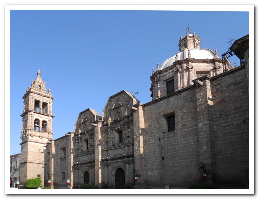
Temple of the Nuns
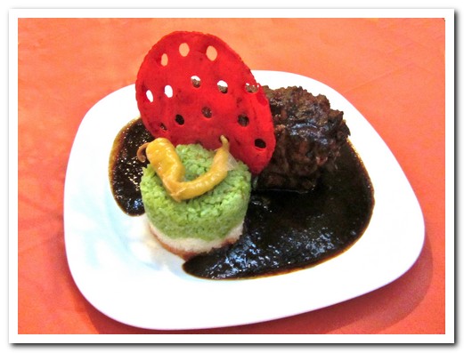
Chamorro - pork shank with a rich chilli sauce - rice in the colours of Mexico
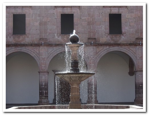
Fountain in the courtyard of Calvijero Palace (1660)
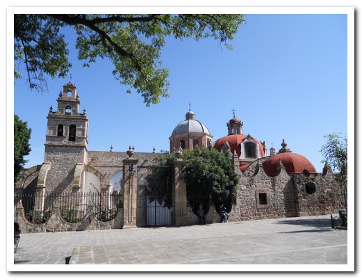
Templo del Carmen
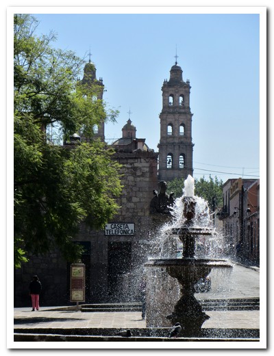
Templo de San José
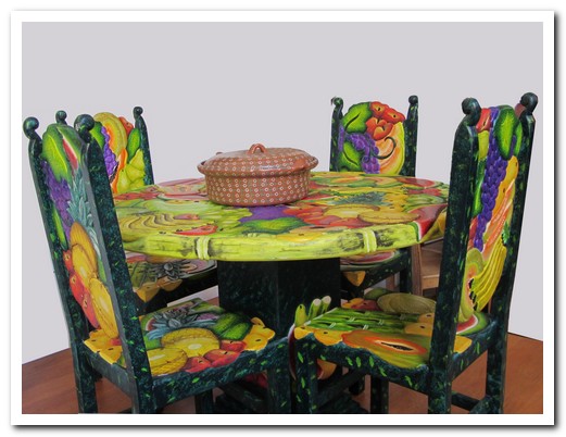
Table and chairs carved and painted by local artisans
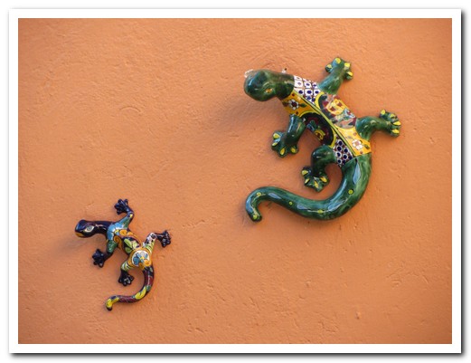
Lizards on a restaurant wall
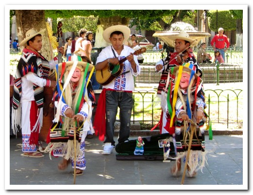
Danza de los Viejos (Dance of the Old Men) in the Plaza de Armas
Dance of the Old Men, Morelia
11th September 2011
Here is a short movie of La Danza de Los Viejos (The Dance of the Old Men) performed in the main Plaza in Morelia. (You can watch it Full Screen by clicking on the arrows in the bottom right hand corner).
.
Pátzcuaro
09th September 2011
At over 2000 metres the Pueblo Mágico, Pátzcuaro [30] lies south of the mountain fringed Lake Pátzcuaro. The bustling centre is all red and white adobe buildings with terracotta tiled roofs, colonial churches and pretty plazas. A busy market, where local food is cheap and good, spills out onto the streets. A huge plate of chicken with potatoes, carrots, cheese and tortillas smothered in sauce, more than enough for 2, is less than $10. Pátzcuaro is one of our favourite Mexican pueblos.
.
The small Purepécha villages that dot the lake each produce a different handicraft such as pottery, wooden masks and fine needlework, their wares displayed outside to attract passersby. Vasco de Quiroga (1478-1565) established these crafts and did much to protect the indigenous from the worst abuses of the Conquistadores. Today he is revered. Janitzio is the largest of the islands in Lake Pátzcuaro where the men use large butterfly-nets to fish from small wooden boats.
.
We took a local bus to Uruapan, an hour from Pátzcuaro, to visit the National Park which is in the centre of the town. Water gushes from underground creating a lush rainforest environment, home to many species of plants, animals, birds and butterflies. Trout raised in the streams and covered with macadamia nuts made a delicious lunch. In the town is the first hospital in the Americas, with doorways and windows carved by Purepécha artisans in the Mudéjar style 4 centuries ago.
.
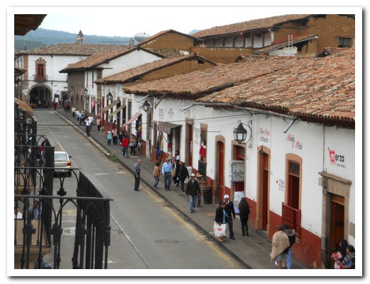
Red and white adobe colonial centre of Pátzcuaro
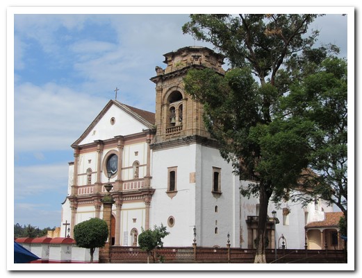
Basilica de Nuestra Señora de la Salud (Our Lady of Health) - 16th century
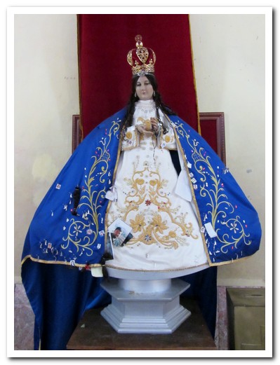
Nuestra Señora de la Salud locally made from corn cobs
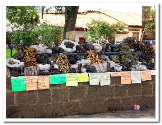
If prayer doesn´t work, try the herbal medicine sold outside the Basilica
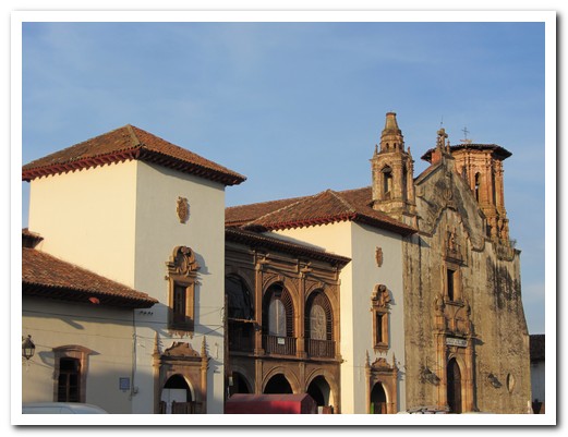
16th century ex-Convento San Agustin, now the town library
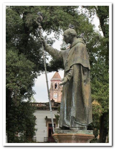
Statue of the revered Vasco de Quiroga in Plaza Grande
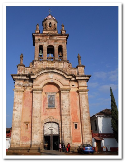
Templo El Santuario
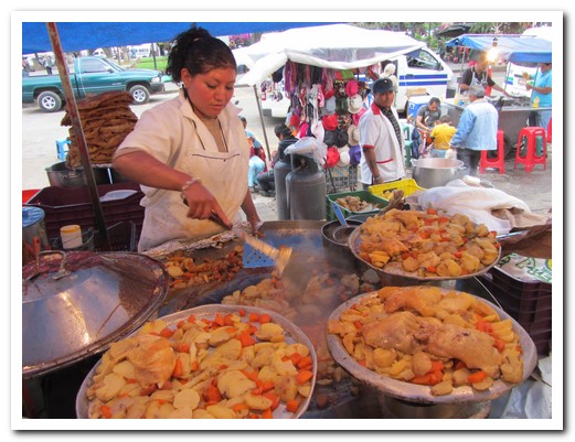
Market food is good and cheap and you get lots of it
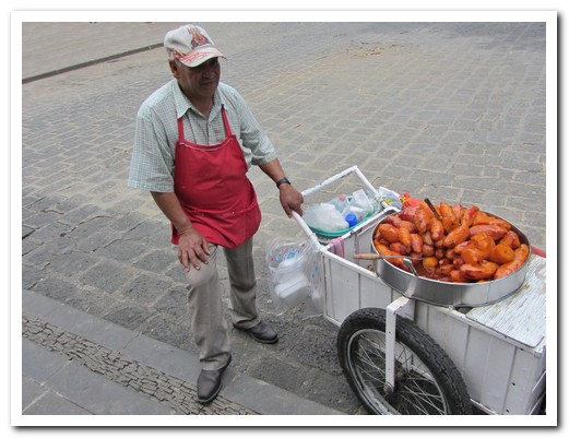
Sweet potatoes in honey make a delicious snack
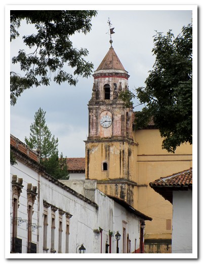
Jesuit Church from 1540
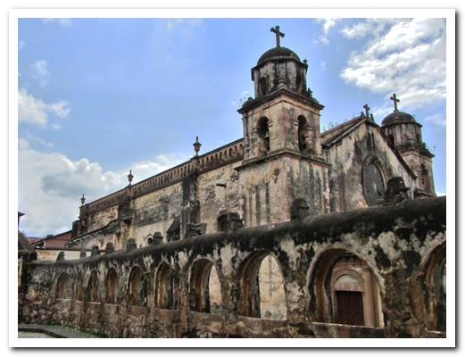
Templo de Sagrario
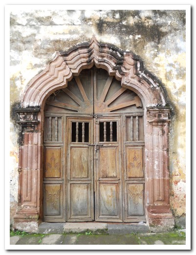
Doorway to the Templo
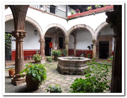
There are 11 courtyards ...
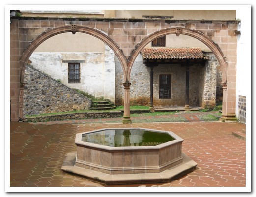
... in La Casa de Once Patios
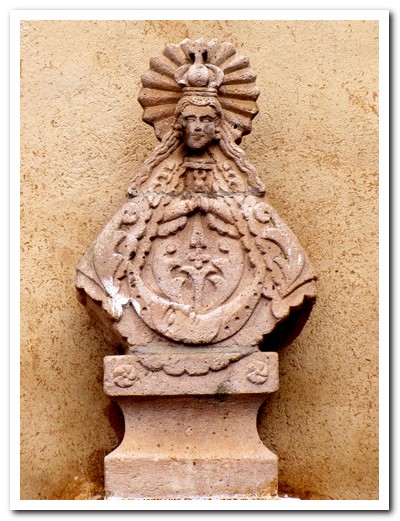
Stone statue of the Virgen in one of the courtyards
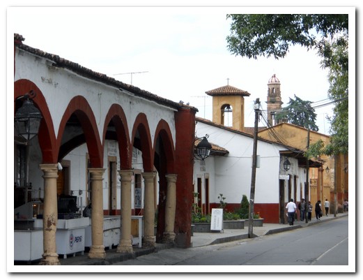
Pátzcuaro street
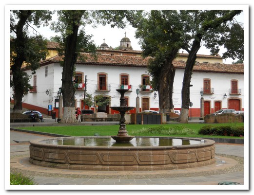
Fountain in Plaza Grande
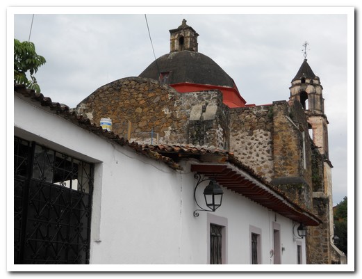
Templo de San Juan de Dios
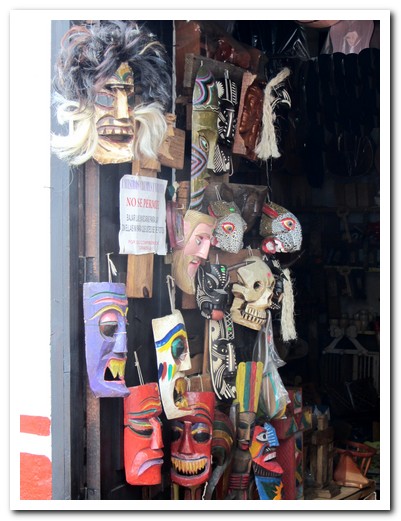
Wooden masks are some of the local handicrafts
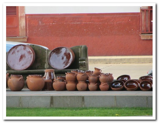
Pottery comes nearby villages - each has its own colours
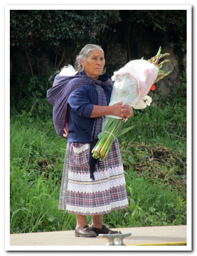
Indigenous lady with flowers
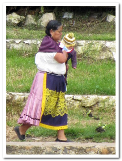
Indigenous women wear embroidered aprons over their skirts
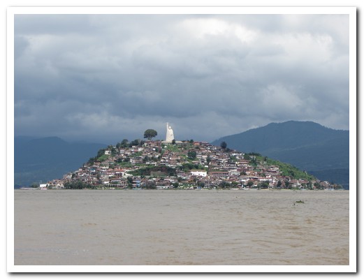
Janitzio Island on Lake Pátzcuaro
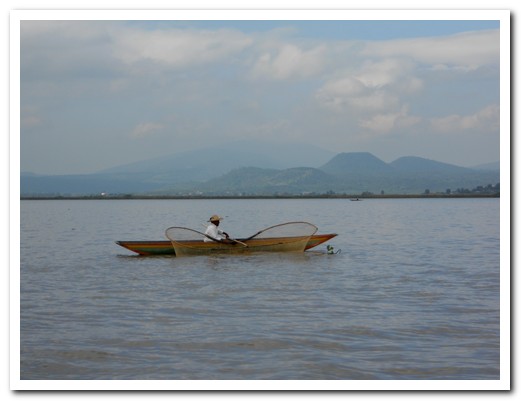
Men with butterfly-nets ...
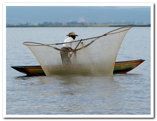
... fish from wooden boats in the lake
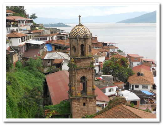
Church on the Island
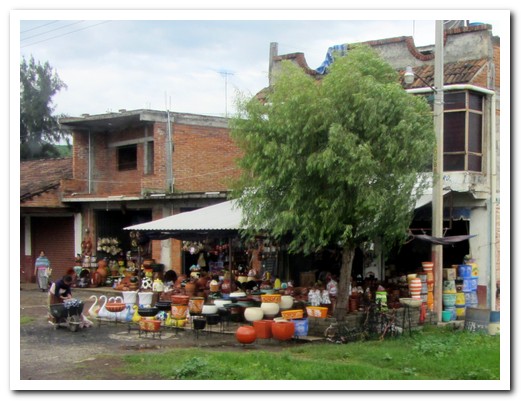
Handicrafts for sale along the road around the lake
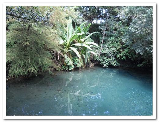
Uruapan´s National Park
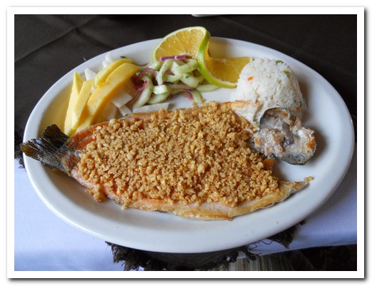
Trout from the stream, covered with macadamia nuts - delicious
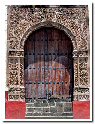
Entrance to the first hospital in the Americas, carved in the Mudéjar style
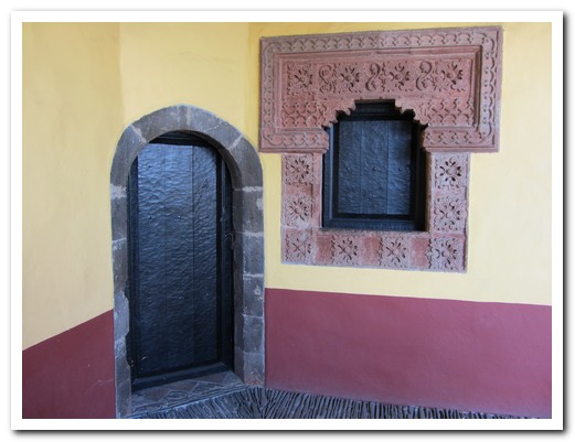
Hospital window, Mudéjar style, by local artisans - 16th century
Guadalajara
04th September 2011
The Mexican hat dance and mariachis come from Guadalajara [29], Mexico´s second largest city – founded in 1542 in the Western Highlands of the country. Colonial stone mansions, churches and government offices in the historic centre stand amidst graffiti covered derelict buildings. We stayed about 6 blocks north of the centre at Las Sabilas, a hotel owned by an expatriate American garden designer. The wonderful garden with hummingbirds feeding on the flowers was a haven from the busy streets. It happened that the annual Mariachi Festival was on, so we caught a free performance outside the Cathedral. Click here for a short video.
.
Carne en su jugo, meat served in its own juice, is the culinary specialty here. We enjoyed it at Karnes Garibaldi while listening to mariachis. Torta ahogada, pork sandwich drowned in chilli sauce is also popular.
.
Rows of blue agave plants grow around the village of Tequila where the famous drink is made. After an interesting tour of the fields and factory we got to try the various finished products – clear, aged a little, aged a lot, and margaritas. Next day we headed out to Lake Chapala, the largest lake in México. Many North Americans are retired at the pretty lake side village of Ajijic. Tlaquepaque, about 10 k from Guadalajara is another colourful village, now absorbed into Guadalajara but with its own history and artisans.
.

Guadalajara Cathedral
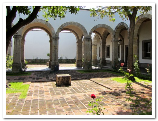
One of 23 stone courtyards in the former orphanage (1805)
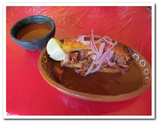
Torta ahogada - pork sandwich drowned in chilli sauce
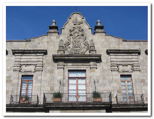
Government building with Spanish coat of arms
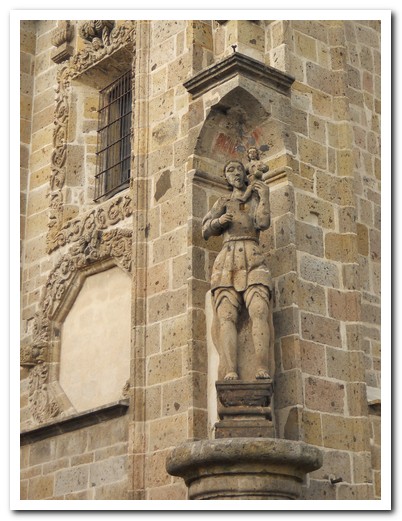
Santa Monica - corner statue
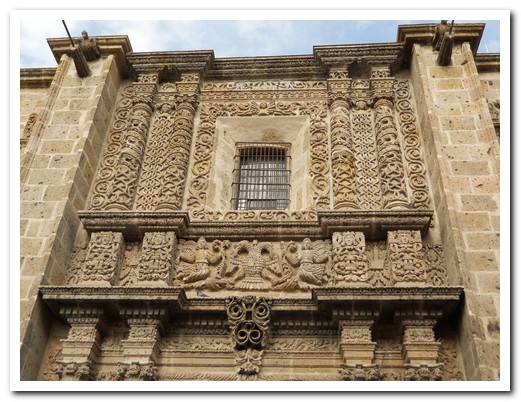
Santa Monica - ornate carvings
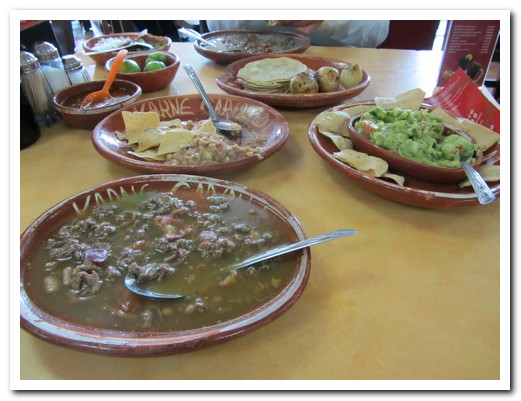
Carne en su jugo - meat cooked in its own juice
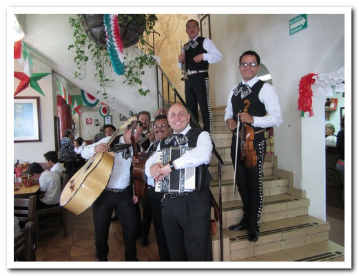
Mariachi in the restaurant Karne Garibaldi
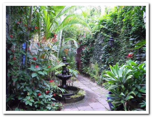
Garden haven at Hotel Las Sabilas
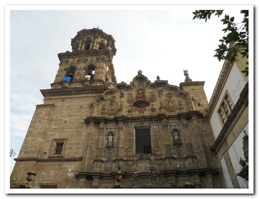
San Filipe
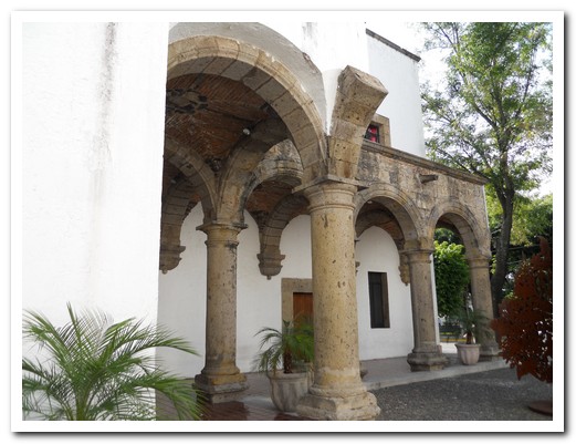
Ex-Convento El Carmen
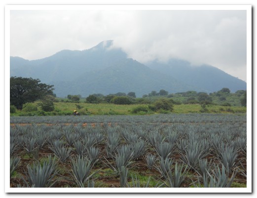
Blue agave growing near the village of Tequila
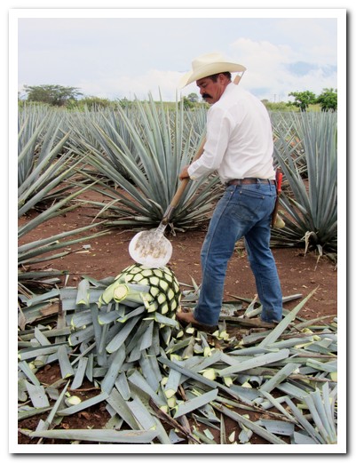
The leaves are first cut off with a special tool ...
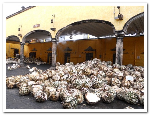
... then the agave pineapples are steamed at the beginning of the Tequila making process
 |
 |
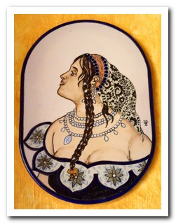
| Toilet signs in the pueblo of Tequila |

San Agustin in Guadalajara
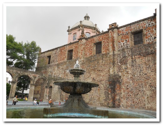
San Francisco
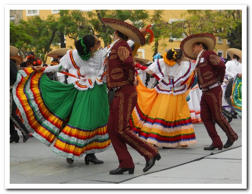
Free concert in a city plaza ...
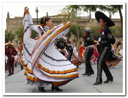
... during the Mariachi Festival

Lake Chapala, the largest in México, is an hour southeast of Guadalajara
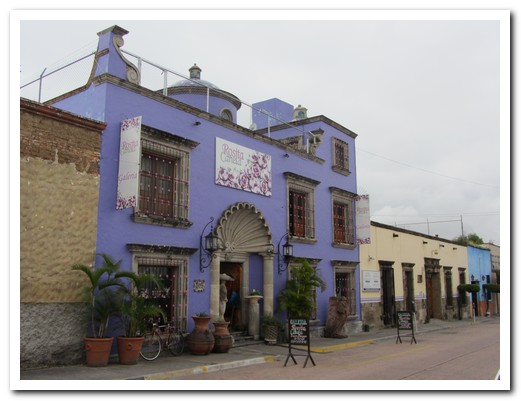
Colourful Tlaquepaque, home to many artisans, is near Guadalajara
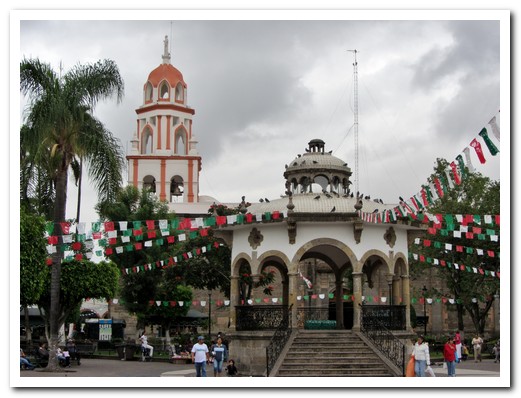
Plaza at Tlaquepaque decorated for Mexican Independence Day
Mariachi Festival – Guadalajara 2011
04th September 2011
Here is a short movie from the Mariachi Festival 2011 in Guadalajara.
.