Categories
- Argentina
- Chile
- Antarctica
- Easter Island
- Falklands (Malvinas)
- Bolivia
- Peru
- Uruguay
- Paraguay
- Brazil
- Venezuela
- Colombia
- Ecuador
- Galapagos
- Panama
- Costa Rica
- Cuba
- Nicaragua
- Honduras
- El Salvador
- Guatemala
- Belize
- Mexico
- Latin American Xmas
Pages
- Street Art of Buenos Aires
- A week in Buenos Aires
- The Jesuit Missions in South America
- Contact Us
- Map of Central America
- First week in Latin America – October 2009
- Home Page
- Map of South America
Archives
- October 2011 (3)
- September 2011 (9)
- August 2011 (10)
- July 2011 (7)
- June 2011 (6)
- May 2011 (11)
- April 2011 (10)
- March 2011 (4)
- February 2011 (5)
- January 2011 (6)
- December 2010 (6)
- November 2010 (4)
- October 2010 (8)
- September 2010 (5)
- August 2010 (7)
- July 2010 (5)
- June 2010 (6)
- May 2010 (6)
- April 2010 (7)
- March 2010 (6)
- February 2010 (9)
- January 2010 (4)
- December 2009 (8)
- November 2009 (5)
- October 2009 (2)
Cochabamba
27th April 2010
Cochabamba lies in a wide fertile valley surrounded by high mountains. It has the usual handfull of colonial churches in the center and a busy market.
.
We hired a taxi for the day to take us into a remote valley to see the rarely visited ruins of the fortified Inca city Incallajta, 150 kilometers from Cochabamba. It is an enormous complex. On the way we visited the little mountain pueblos of Tarata and Totora.
.
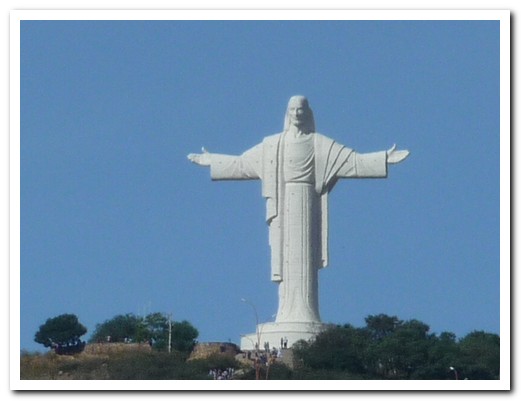
The huge statue of Jesus guards over Cochabamba
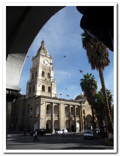
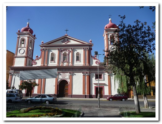
Cochamamba Cathedral
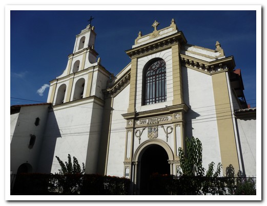
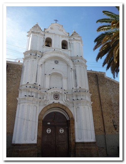
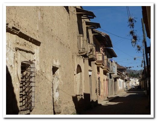
Cobbled street in Tarata
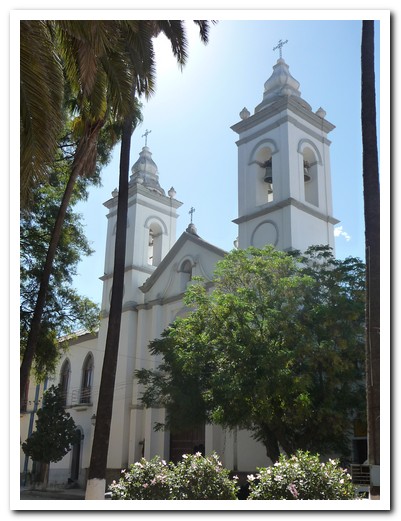
Church of Torata
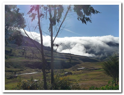
On route to Totora
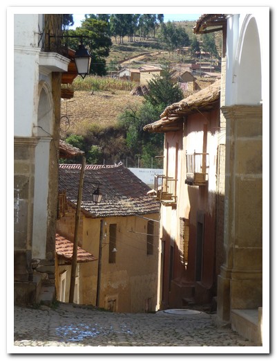
A street in Totora
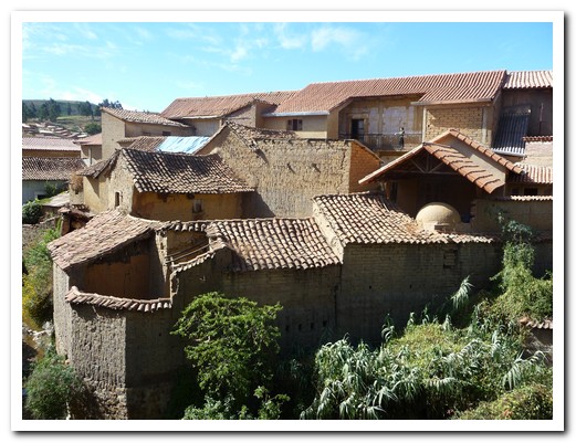
Tiled roofs in Totora
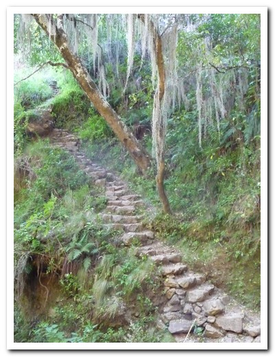
Inca steps leading to Incallajta
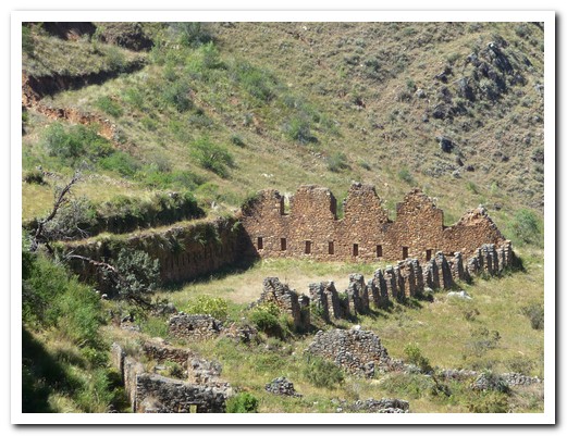
This is the largest Inca roofed structure discovered
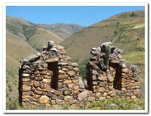
Incallajta ruins
Cordiellera de los Frailes
25th April 2010
Around Sucre are many little pueblos where the indigenous women weave intricate pieces by traditional methods, dating back thousands of years.
.
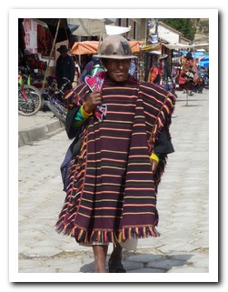
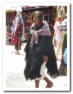
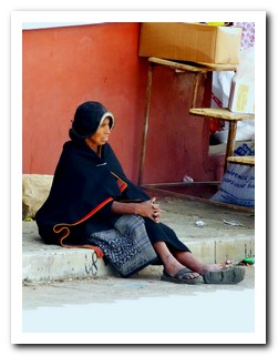
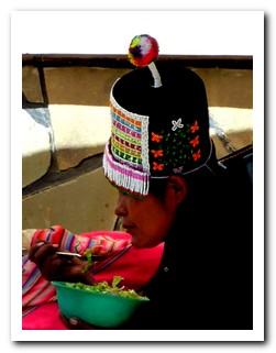
Tarabuco, 65 kilometres to the southeast where women weave multi coloured cloth, has a sprawling Sunday market. People from the nearby pueblos arrive in traditional dress.
.
A 4 day trek in the Cordiellera de los Frailes took us through small Quechua speaking communities. Here the women weave black and red cloth panels with no set pattern. The technique has been passed down the generations, each one taking 3 months to complete.
.
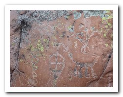
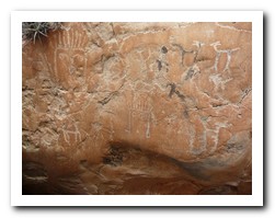
We walked along old Inca footpaths, saw dinosaur footprints and pre Inca pictographs. In one of the pueblos we shared a field workers lunch. Potatoes, corn cobs and beans are placed in coals and covered with earth in the middle of the field. The food slowly cooks while the people work.
.
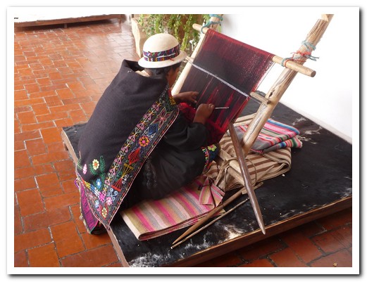
Traditional weaving (note the elaborate border around her shawl)
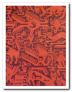
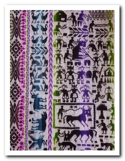
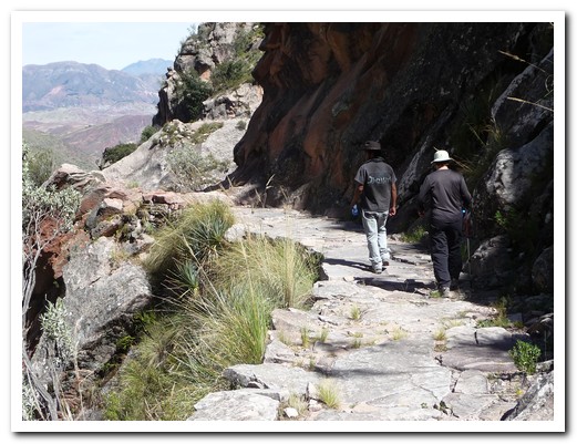
Setting off down the Inca road
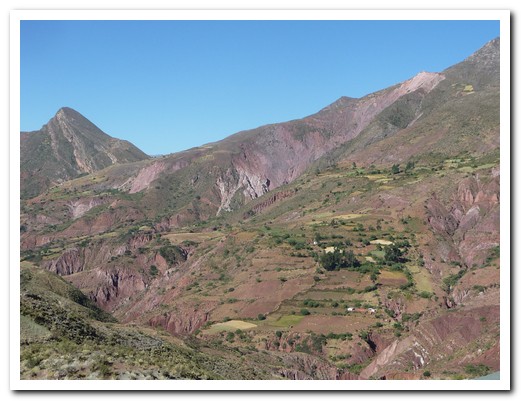
Fields of wheat on the steep sides of the mountains
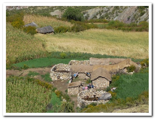
Isolated stone farm house
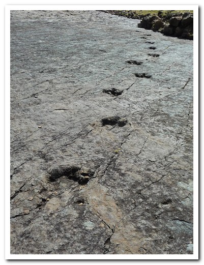
Dinosaurs crossed here
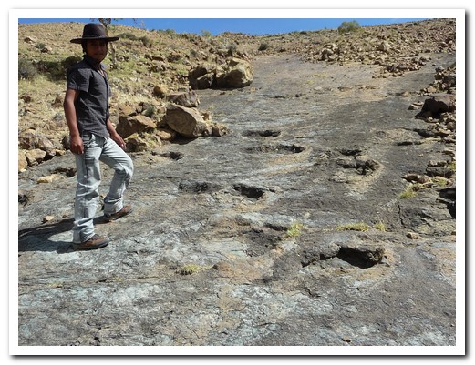
Rubén, our guide, shows us more dinosaur footprints
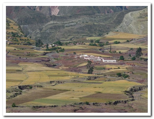
The pueblo of Maragua inside a volcano crater
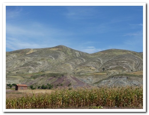
The crater walls surrounding Maragua
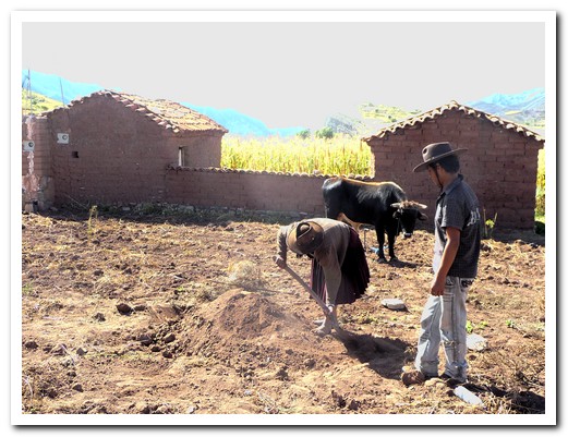
Field workers lunch cooking under ground
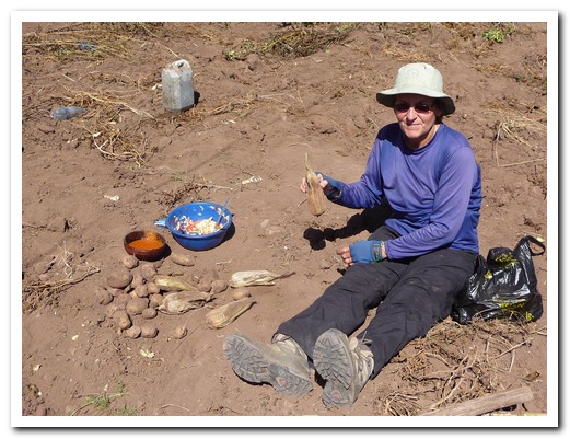
Pam enjoying the lunch cooked in the field, delicious with fresh ground chillies
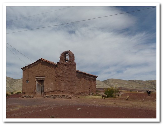
Small adobe church

Old Inca terraces, no longer used
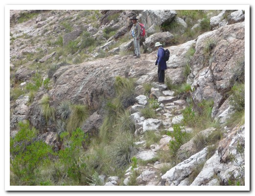
Another Inca footpath
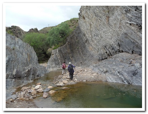
Our walk finished at the end of this canyon
Sucre – The White City
19th April 2010
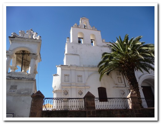
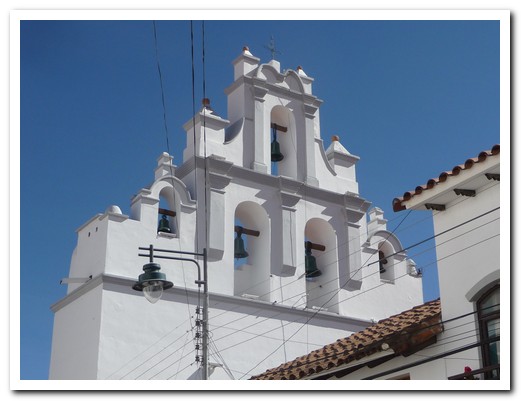
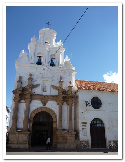
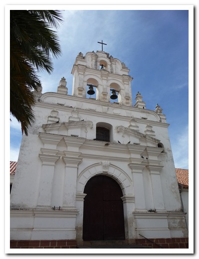
Sucre, founded in 1538, is a Cultural Heritage Site. It is a city of dazzling white colonial buildings and churches.
.
There is a bustling central market where anything and everything is sold. The local food is fresh, cheap and good. One of our favourites is papas rellenas (potato balls stuffed with cheese and egg).
.
At Santa Teresa Convent we purchased sweets from the nuns by way of a miniature revolving door which isolates the nuns from the outside world.
.
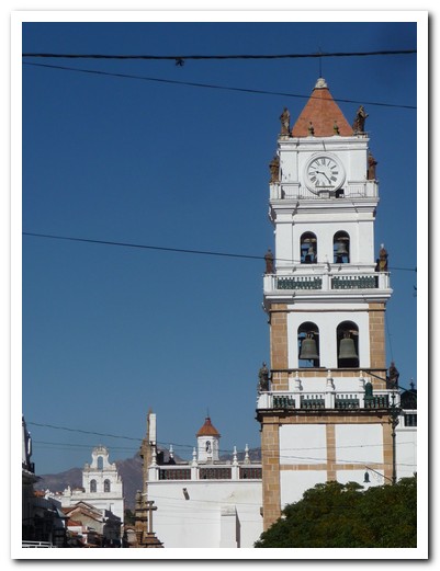
Sucre´s Cathedral with 2 other churches in the background
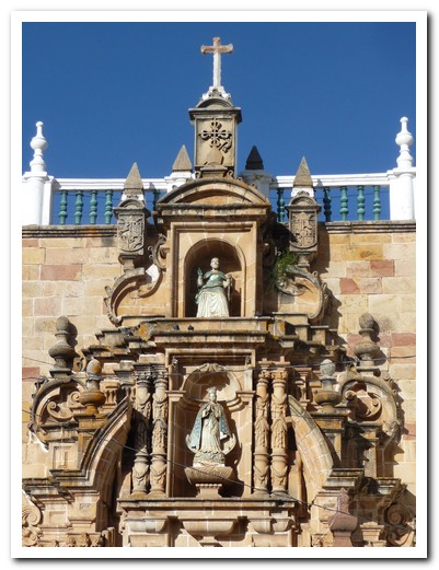
Details of the Cathedral door
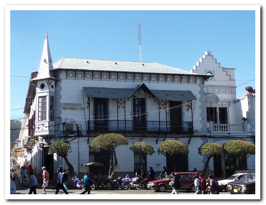
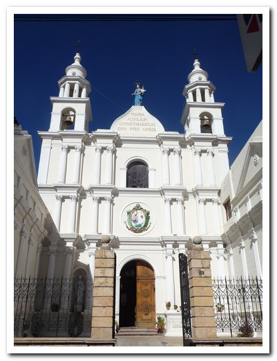
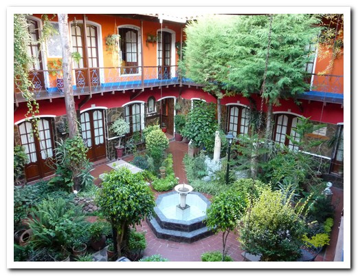
The plant filled courtyard of our hotel
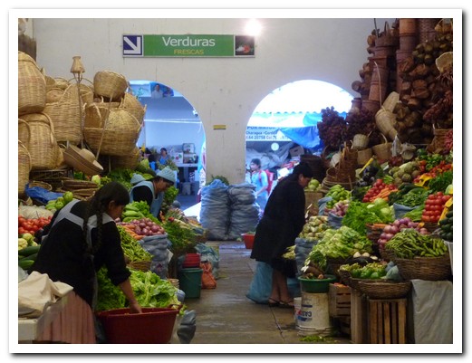
Sucre market
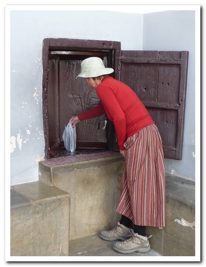
Buying sweets from the nuns through a revolving window
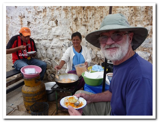
Lunch at the side of the road
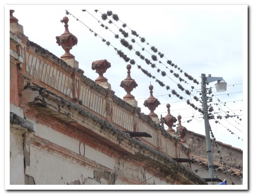
Talansias growing on the power lines
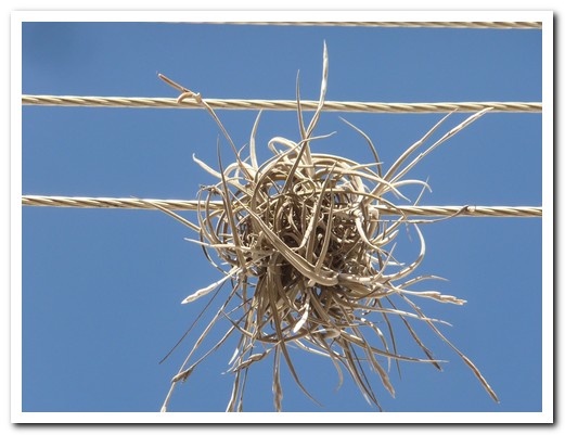
Talansia up close
Potosí
15th April 2010
At 4060 metres Potosí, founded in 1545, is the world´s highest city and a Unesco World Heritage which once had over 80 churches and was the richest city in the world.
.
Silver from the mine supported Spain for over 200 years to the detriment of millions of Bolivian and African slaves. Conditions in the mine today are not much better.
.
Many fine colonial buildings remain along the narrow cobbled streets of the old town.
.
The traditional Bolivian women (Cholas) wear their hair in 2 long plaits with a hat on top, a full skirt (pollera) over multiple petticoats and wrap themselves in colourful shawls. Sadly, the younger girls opt for jeans and t-shirts.
.
We were reluctant to leave Potosí but didn´t want to miss out on the little local trolly/train that wound its way around the hills to Sucre, stopping for people waiting by the tracks and at pueblos not reached by road. There were people with big bundles sitting in the aisles, someone had a dog, and someone got on with a bucket full of the local brew. It took twice as long as the bus but well worth it.
.
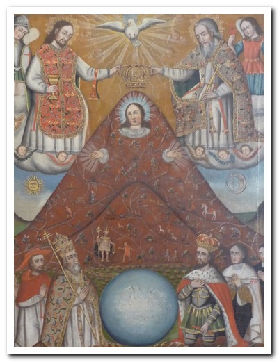
This painting tells the story of the Potosí mine
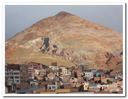
Cerro Rico (Rich Mountain) towers over Potosí
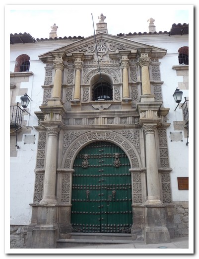
Entrance to the Casa de Monedas (Mint)
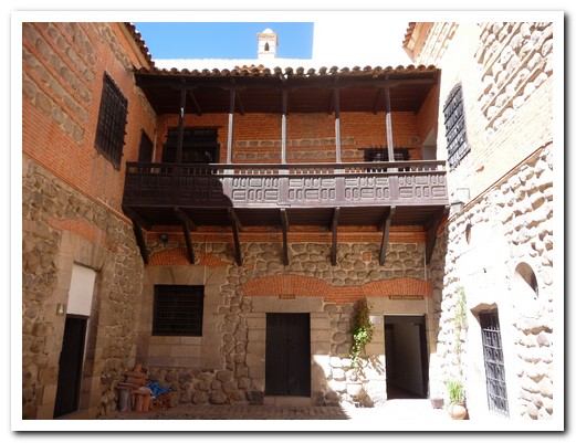
Courtyard inside the Mint
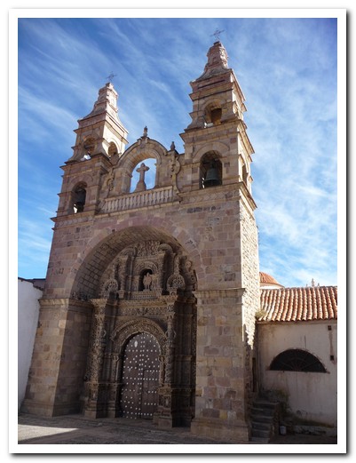
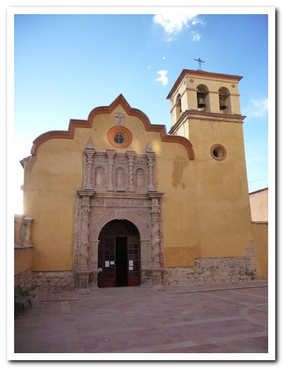
Igelesia San Lorenzo de Carangas from 1728

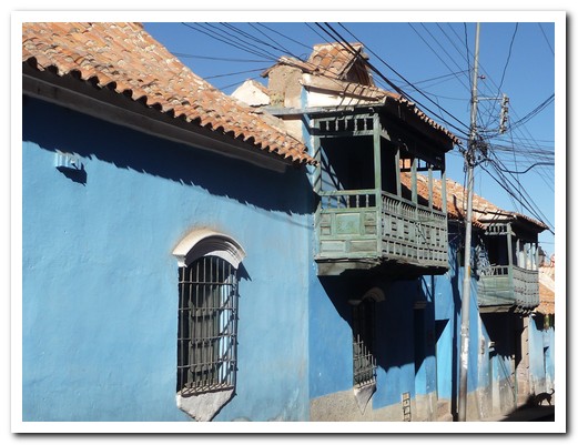
Wooden balconies overhang the cobbled streets
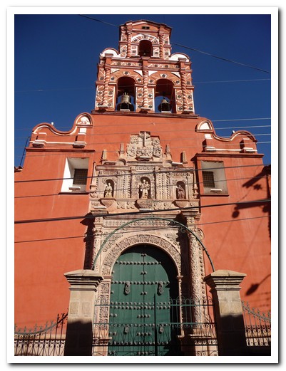
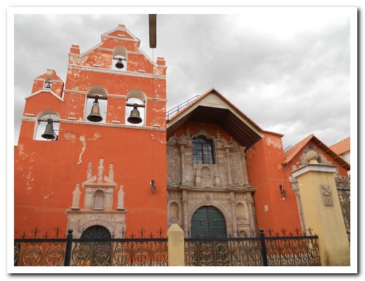
Convento Santa Teresa, from1685, still home to 6 Carmelite nuns
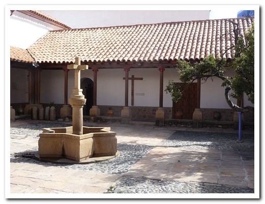
Courtyard of the Convent
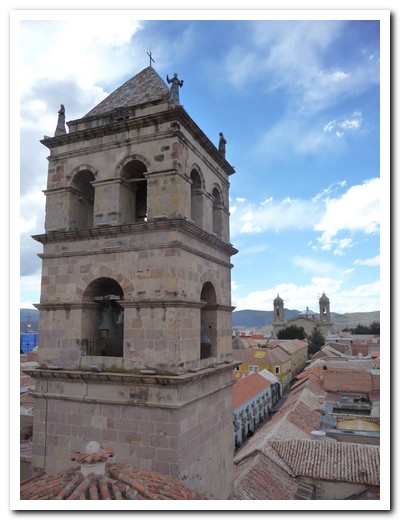
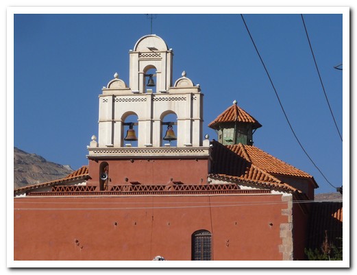
Bell tower of Iglesia San Francisco with the Cathedral behind
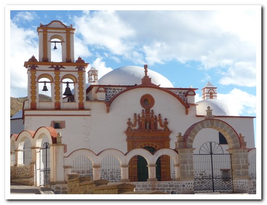
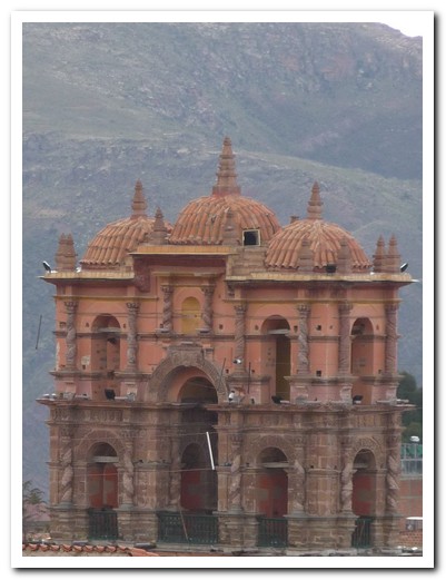
The bell tower is all that remains of the Jesuit Church
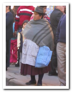
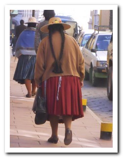
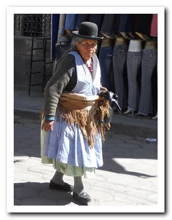
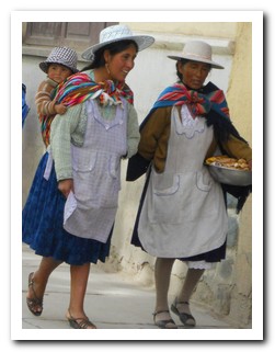
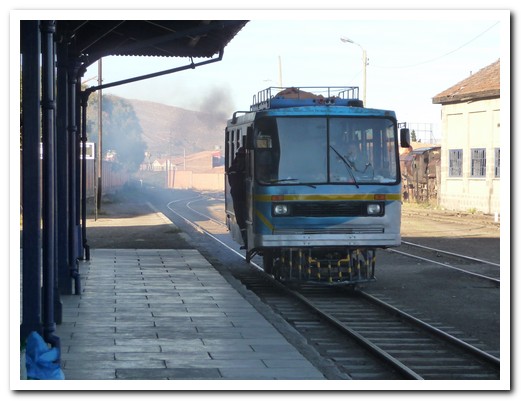
All aboard for Sucre
Salar de Uyuni (Salt Flats)
13th April 2010
… continuing on our excursion with Tupiza Tours.
.
On the edge of the salt flats, we spent a night in a hotel made entirely of salt – salt brick walls, salt floor as well as salt beds, tables and chairs.
.
Our final day began as the sun rose over the largest salt flats in the world, El Salar de Uyuni (10.5 square kilometres) at 3700 metres.
.
In the middle is La Isla del Pescado (Fish Island), a coral island covered in Cardon cactus.
.
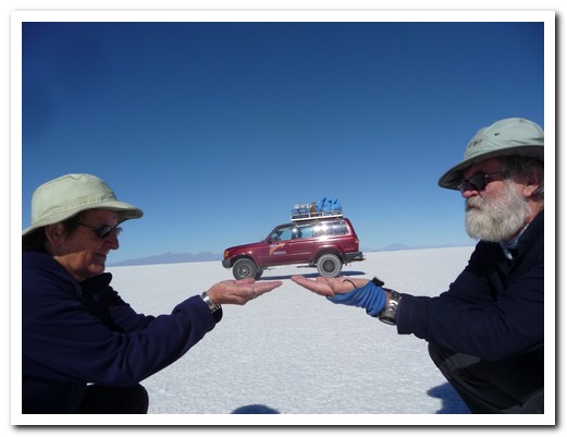
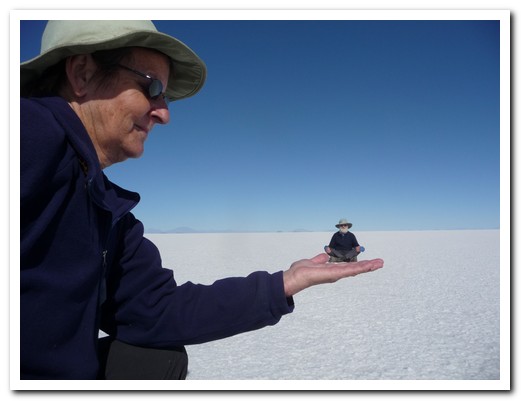
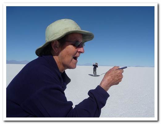
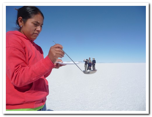
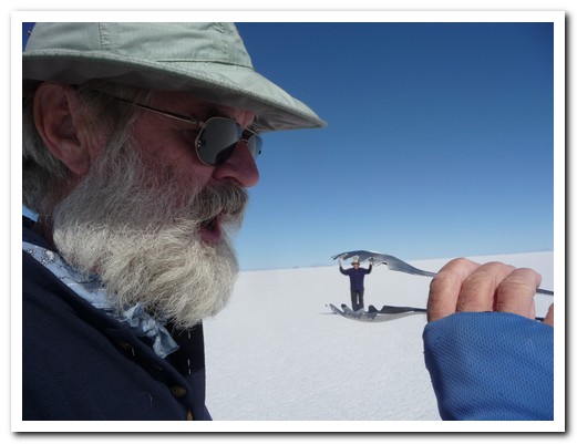
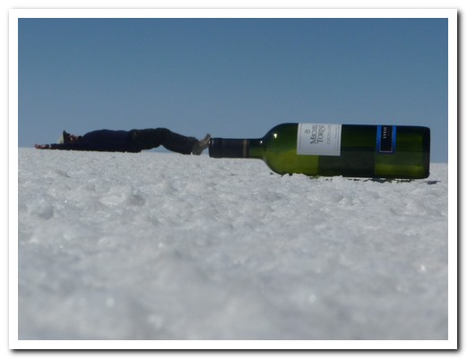
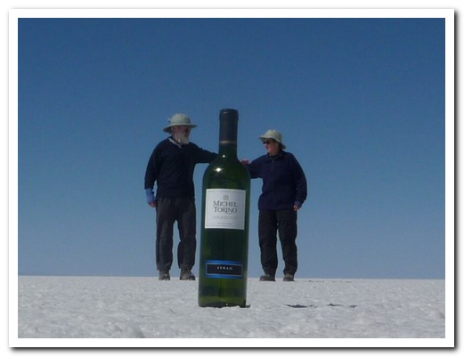
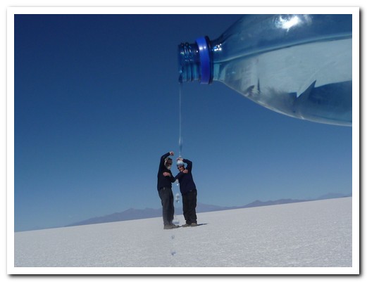
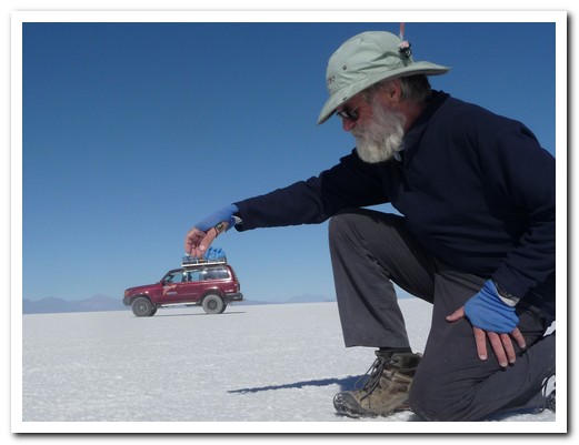
We spent some time composing tricky camera shots on the salt surface before ending our excursion at Uyuni with its train cemetry where all Bolivian trains go when they die.
.
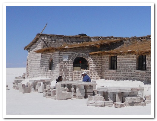
Hotel made of salt
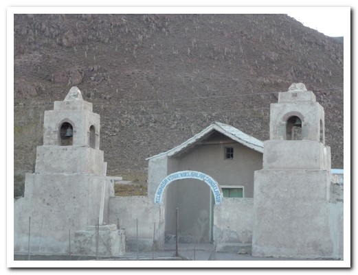
A tiny church on the edge of the salt flats

Sunrise over the salt flats
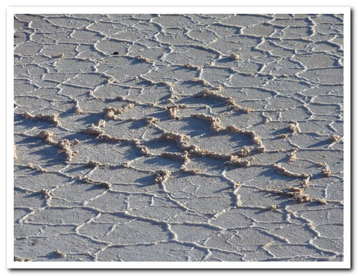
The surface of the salt flats
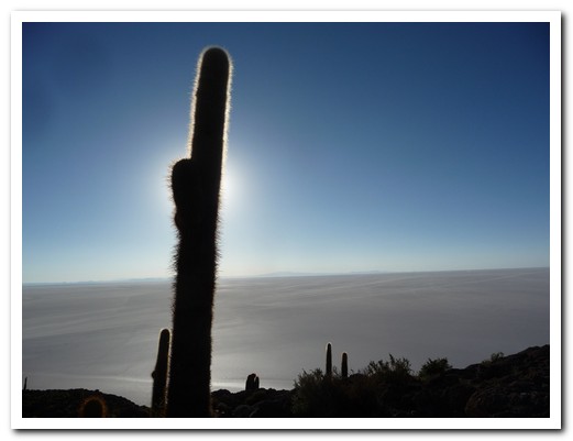
Cactus on Isla del Pescado
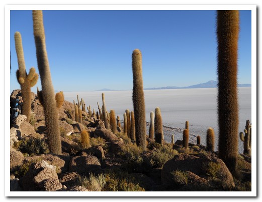
The coral island is covered in cactus
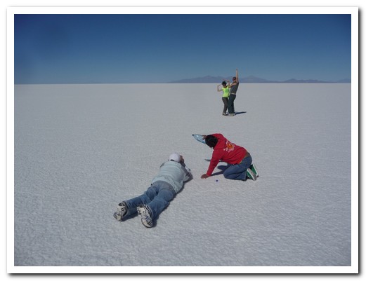
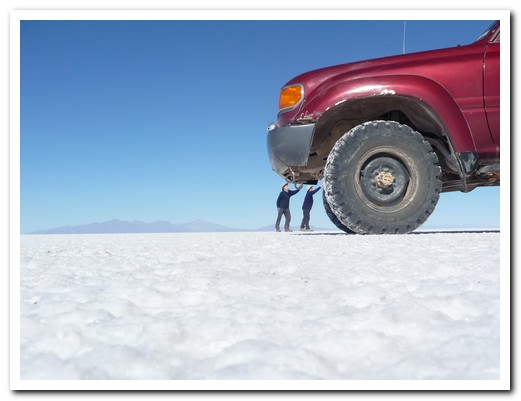
Victor and Magali lining up some tricky camera shots on the salt

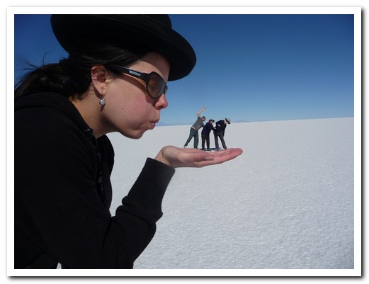
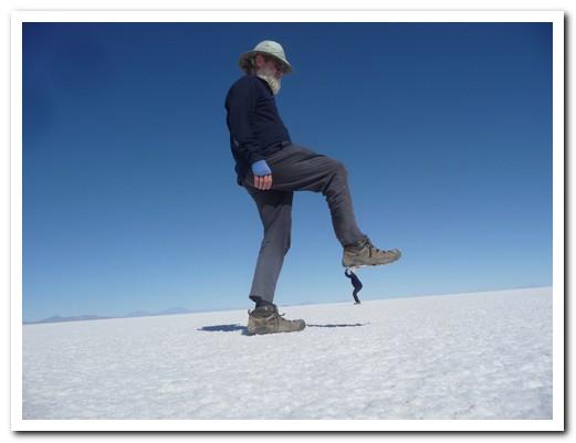
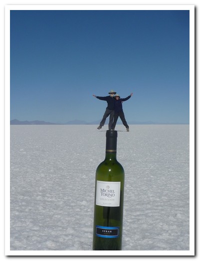
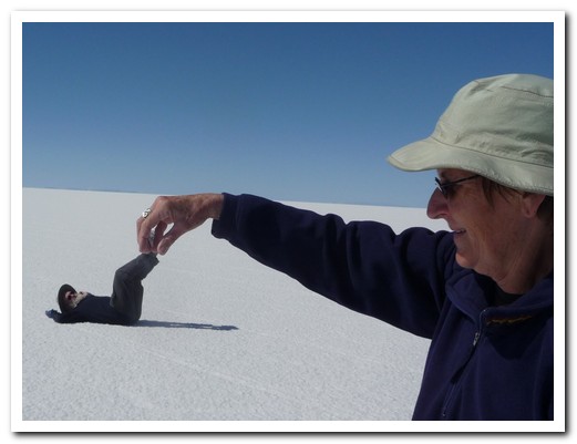

Piles of salt ready for processing
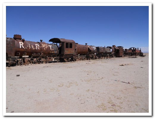
Dead trains at Uyuni
Southern Altiplano – Bolivia
12th April 2010
A fine introduction to Bolivia was a 4 day excursion with Tupiza Tours from Tupiza to Uyuni via the Uyuni Salt Flats. Through the Quebrada de Palala our 4 x 4 ascended to the high plains where llama and the smaller, endangered vicuña graze.
.
After the abandoned (ghost) mining town of San Antonio we visited hot springs, coloured lagoons with flamingos, geysers, multi coloured volcanoes both dormant and active, a necropolis in tiny San Juan containing remains of pre Inca people, strange lava formations as well as a ¨Dali¨ desert – all between 4000 and 5000 metres.
.
We were in good hands with our driver/guide Victor, who was very informative and always cheerful. Magali, our cook kept us well fed, getting up in the early hours to prepare wonderful meals. Her dried llama tamales were delicious. Together with Mariana and Martin from Argentina we had a great experience.
.
.
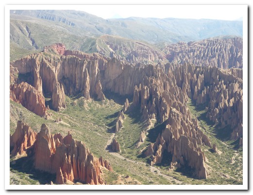
Climbing out of Tupiza
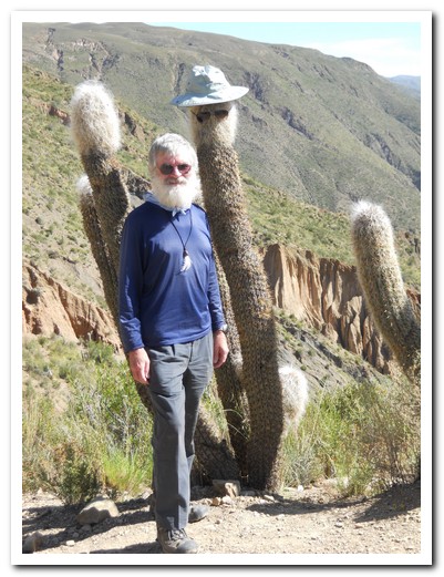
Jeff and twin
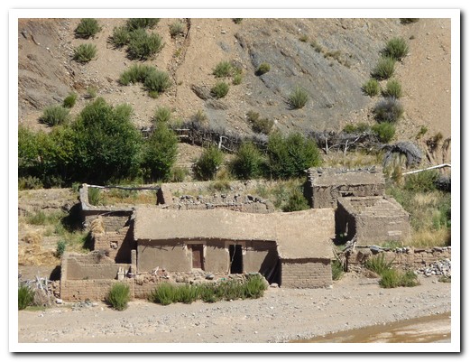
Small adobe village along the way
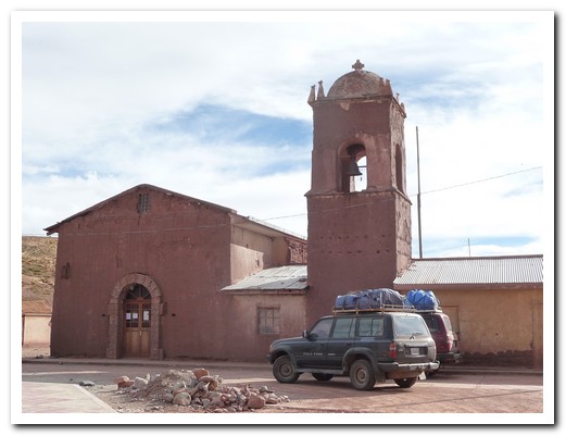
Adobe church
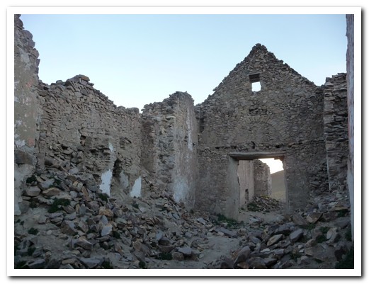
Remains of one of the churches in San Antonio
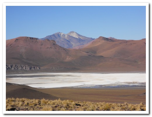
Lagoon white from borax
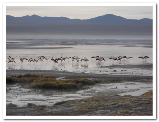
Flamingos take off from Laguna Colorada
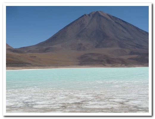
Laguna Verde, green from arsenic and magnesium
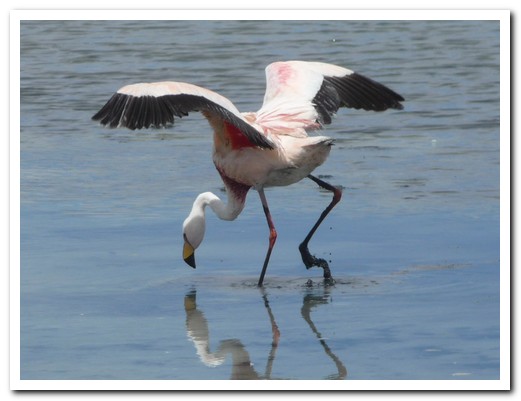
One of the 5 species of flamingo
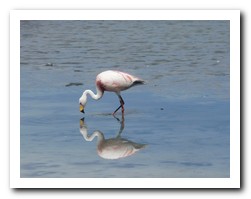
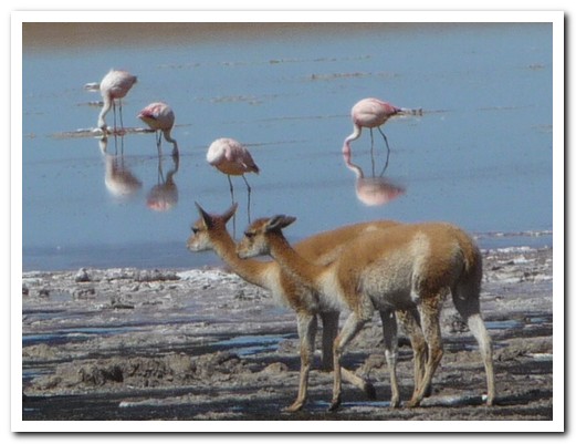
Vicuñas coming for a drink
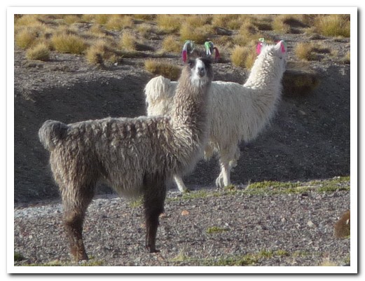
LLamas
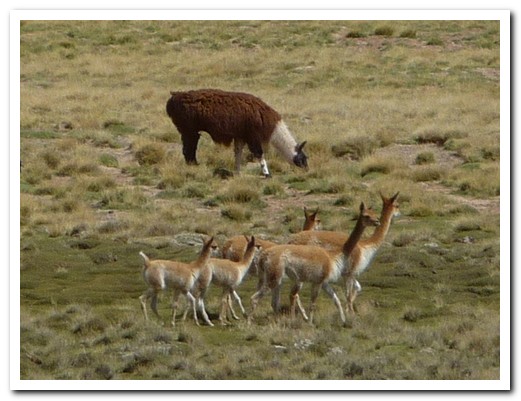
Llamas are bigger and differently coloured than vicuñas
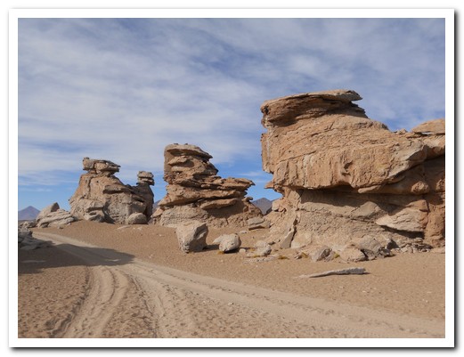
Strange rock formations in the desert
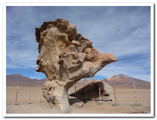
The petrified tree rock
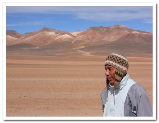
Our guide Victor
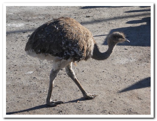
Rhea
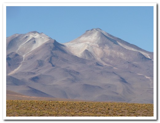
One of the multi-coloured volcanos
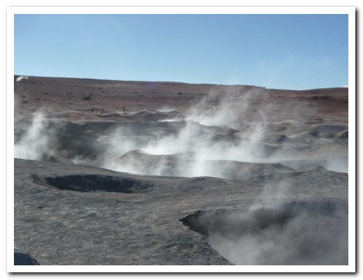
Steaming geysers at 4800 meters
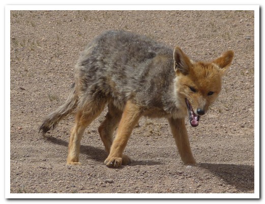
Andino fox
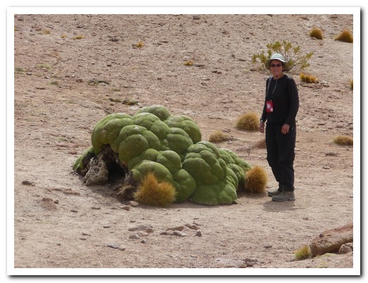
Looks soft, but it is dried and used for firewood
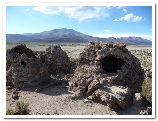
Coral necropolis contains remains of pre Inca people
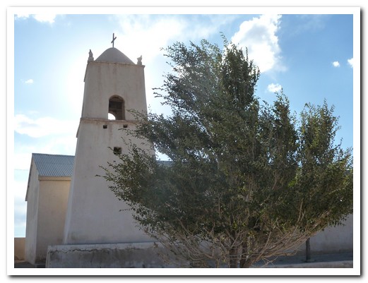
Church at San Juan
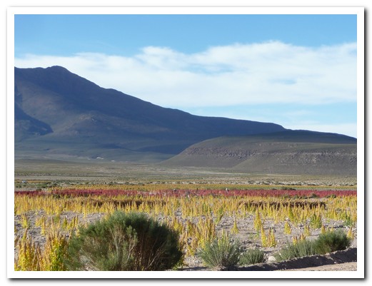
Quinua (Indian grain)
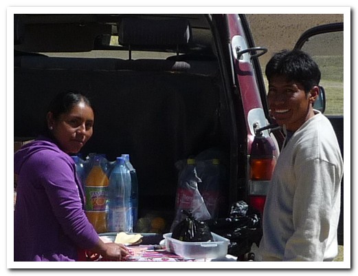
Magali prepares lunch at the back of the landcruiser with the help of Victor
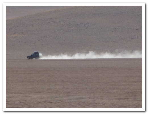
Landcruiser speeding across the desert
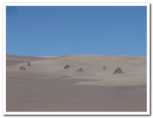
Dalí desert
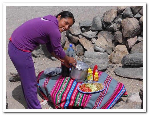
Lunch is ready
Quebrada de Humahuaca
06th April 2010
We continued north from Salta to San Salvador de Jujuy (1200 meters) and on to La Quiaca (3440 meters) on the Bolivian border. The highway through yet another spectacular gorge (quebrada) is dotted with little adobe villages populated with indigenous people.
.
Purmamarca (2190 meters), a staging post on the Inca Road, is surrounded by multi-coloured hills, has a lovely adobe church facing the square and a lively handicraft fair.
.
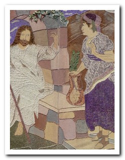
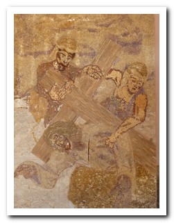
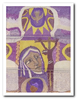
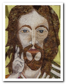
Large colourful mosaics made from flowers, seeds, leaves and moss depicting Easter scenes lined the streets of Tilcara (2460 meters). The local Festival de Doma (a bareback wild horse riding competition) was new experience for us.
.
At 12 midday (mas o menos) in Humahuaca (2990 meters), a life-size statue of San Francisco Solano emerges from the clock tower to bless the people below.
.
And now onto Bolivia ….
.

Church at Jujuy
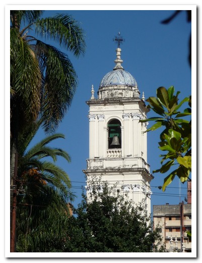
Another Church at Jujuy

Purmamarca nestles in the hills of seven colours
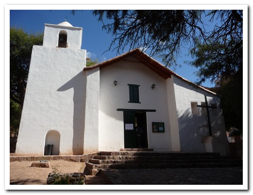
Little adobe church at Purmamarca has a ceiling of cactus wood
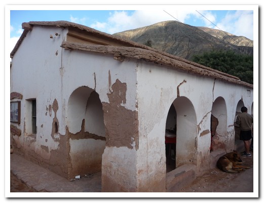
Adobe council building with traditional roof in Purmamarca
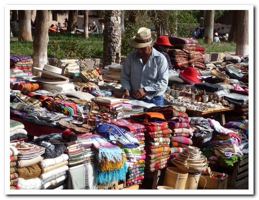
Local handicrafts for sale
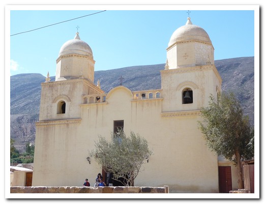
Church at Tilcara
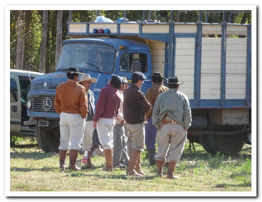
They waited 2 hours for the Doma to start too!
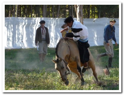
These boys have huevos
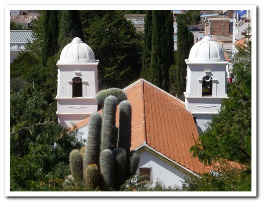
Humahuaca´s Church was remodelled in 1721
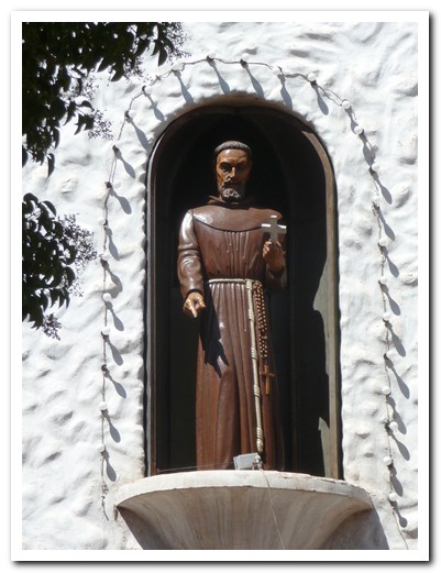
San Francisco gives his blessing
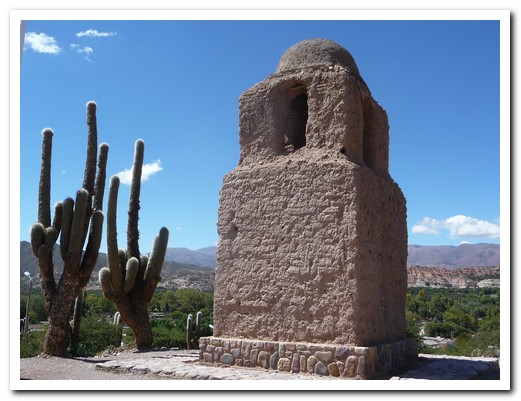
Remains of 18th century Spanish Fort in Humahuaca
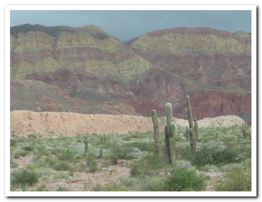
Quebrada de Humahuaca