Categories
- Argentina
- Chile
- Antarctica
- Easter Island
- Falklands (Malvinas)
- Bolivia
- Peru
- Uruguay
- Paraguay
- Brazil
- Venezuela
- Colombia
- Ecuador
- Galapagos
- Panama
- Costa Rica
- Cuba
- Nicaragua
- Honduras
- El Salvador
- Guatemala
- Belize
- Mexico
- Latin American Xmas
Pages
- Map of South America
- Home Page
- First week in Latin America – October 2009
- Map of Central America
- Contact Us
- The Jesuit Missions in South America
- A week in Buenos Aires
- Street Art of Buenos Aires
Archives
- October 2011 (3)
- September 2011 (9)
- August 2011 (10)
- July 2011 (7)
- June 2011 (6)
- May 2011 (11)
- April 2011 (10)
- March 2011 (4)
- February 2011 (5)
- January 2011 (6)
- December 2010 (6)
- November 2010 (4)
- October 2010 (8)
- September 2010 (5)
- August 2010 (7)
- July 2010 (5)
- June 2010 (6)
- May 2010 (6)
- April 2010 (7)
- March 2010 (6)
- February 2010 (9)
- January 2010 (4)
- December 2009 (8)
- November 2009 (5)
- October 2009 (2)
Cuenca
10th January 2011
Travelling from Pasto in Colombia, crossing the border near Ipiales [1], to Quito [2] in Ecuador involved 4 busses. We flew the next day to Cuenca (Santa Ana de los Cuatro Ríos de Cuenca) [3] in the southern highlands to work our way north.
.
Charming Cuenca with its cobblestone streets, wrought iron balconies and steeple filled skyline is a World Heritage site. It was originally an indigenous village, conquered by the Incas and settled by Spanish in 1557. It lay on the Inca highway that connected Cusco and Quito.
.
Sunday is market day in some of the small villages outside of Cuenca. In Gualaceo women in brightly coloured skirts bearing an embroidered pattern across the bottom sell fresh fruit and vegetables. The smell and colour of the fresh produce was overwhelming. As it was raining many women had their hats carefully covered with plastic bags. Down the road was the food market. Although it was only 9a.m., and we had already eaten a big breakfast, the sight and smell of rows of whole succulent pigs was too tempting. The tender meat is pulled away by hand and served with a salsa of onion and chilli. Chordeleg is the centre for beautiful gold and silver jewellery production. The road to Sigsig snakes around a river gorge. Gardens and houses are scattered on the slopes of the fertile hillsides. After more pig we returned to Cuenca.
.
“Panama” hats don´t come from Panama, but Ecuador and are made from a special straw (toquilla) native to coastal Ecuador. The best weavers live in these villages around Cuenca. The hats are partially made in the countryside and then go to Cuenca for finishing.
.
The Inca ruins of Ingapirca (at 3100 meters), Ecuador´s most important archaeological site, lie 2 hours by bus north of Cuenca. Before the Incas it was a sacred site for the native Cañari people who worshipped the moon.
.
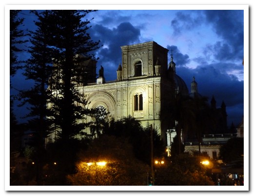
The new Cathedral (1880), the biggest in South America
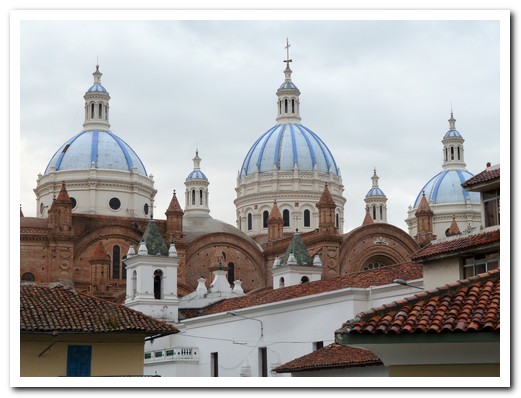
Cathedral domes
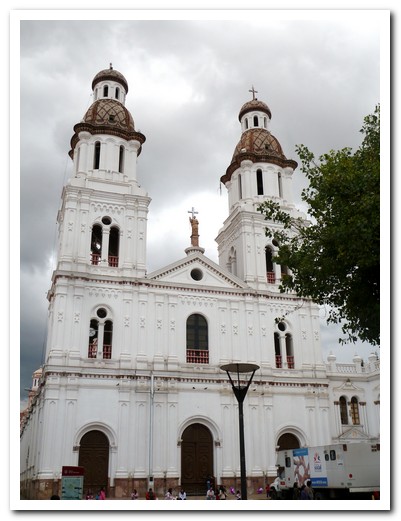
One of the many beautiful churches in Cuenca
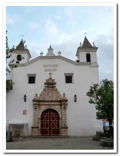
17 th century Church & Monastery of El Carmen de Asuncion
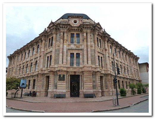
Building made from local stone
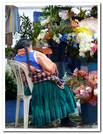
Lady flower seller at the flower market
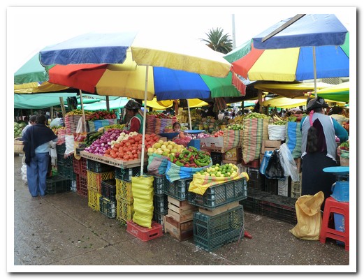
Indigenous market at Gualaceo

Two ladies preparing corn
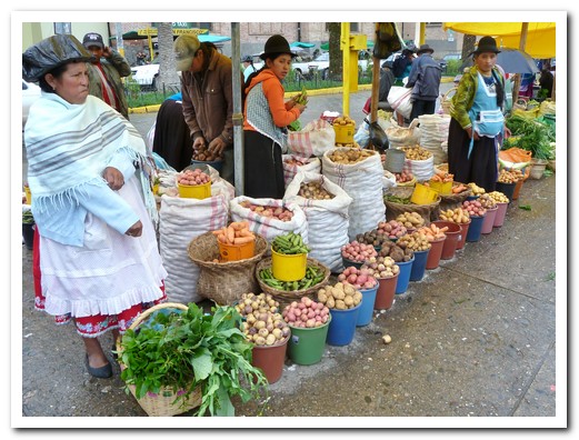
Potatoes for sale
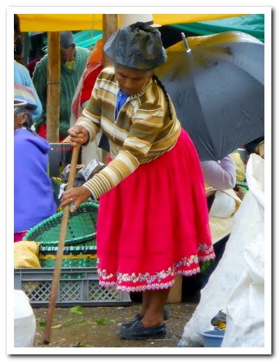
Typical skirt with embroidery on the bottom
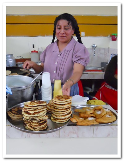
Cheese filled corn tortillas straight off the hot plate - yum
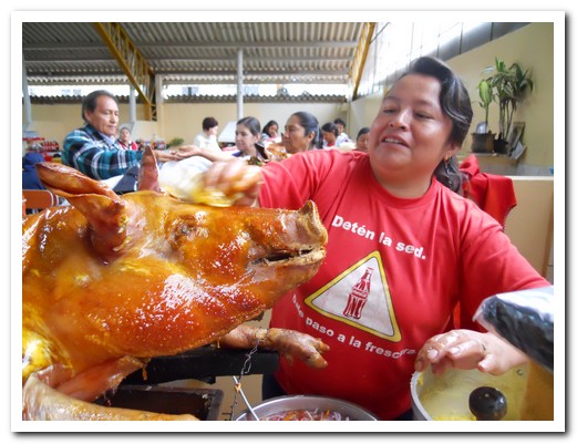
Tender whole suckling pig at the market food stall

Pam getting stuck into the pork

Locally made jewellery at Chordeleg
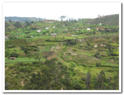
Countryside outside Cuenca
 |
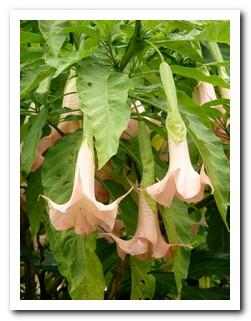 |
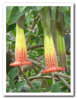
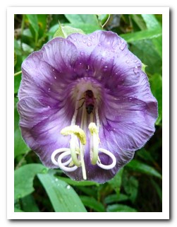
| The trumpet flower is used to make an incapacitating drug |
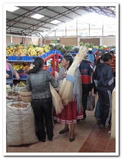
Bundles of toquilla straw for hat making are sold at the markets
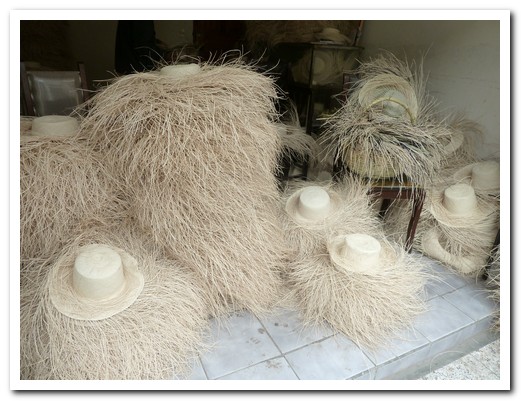
Partially finished
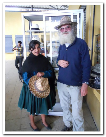
Jeff tries on the hats ...
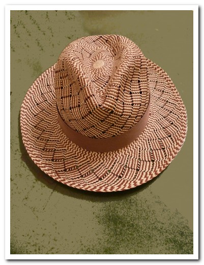
... and selects this locally made beauty
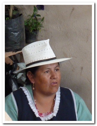
The Cuenca cholas favour the men´s style hats with a black band
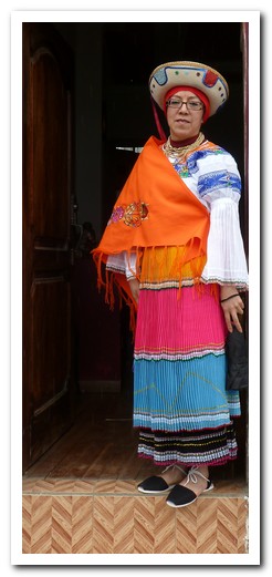
Lady in traditional dress
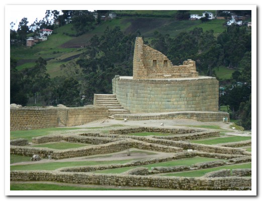
Ingapirca ruins - Temple of the Sun

Ingapirca ruins
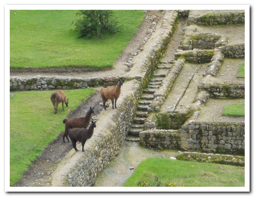
Llamas in the Inca baths
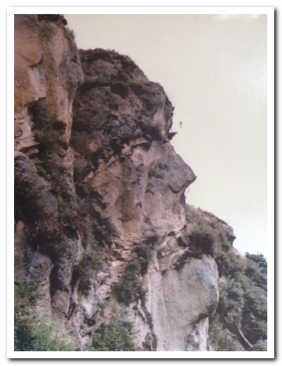
Inca face in the rock
Central Andes – Ecuador
17th January 2011
Moving north along the Avenue of the Volcanos we spent a night in Riobamba [4]which is surrounded by 5 snow capped volcanic peaks all above 5000 meters, the most prominent being Chimborazo. This city has its share of lovely colonial churches too, but the facade of the Cathedral is all that remains of the original Riobamba, battered by earthquakes over the centuries. Along the highlands roads the patchwork of greens in the surrounding hills is so vivid it is almost sickening. Whole fat pigs, spreadeagled, roasting slowly over hot coals at roadside cafes looked mouth watering but unfortunately our bus didn´t stop.
.
Some of the buildings in Latacunga [5], our next stop, are built from an attractive light grey pumice stone. At the Central Hotel (email) we had a room overlooking the main Plaza. Señora Viola Janineh Abedrado, the owner, was very friendly and helpful, provided breakfast in her kitchen and advised us when there was a clear view of Cotopaxi Volcano, the biggest active volcano in the world, from the hotel rooftop. She gave us each a lovely scarf on leaving – we were speechless!
.
Many indigenous people flock to the huge sprawling Thursday market in nearby Saquisili, so we headed off early to as not to miss anything. In the afternoon we made a quick visit to Pujilí, known for its pottery, to see the beautiful old church there.
.
We called in to the Friday market at Latacunga to pick up some snacks for the bus before going off the beaten track … (to be continued)
.
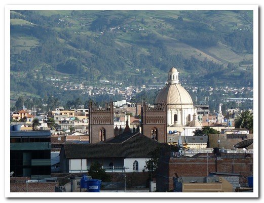
Riobamba
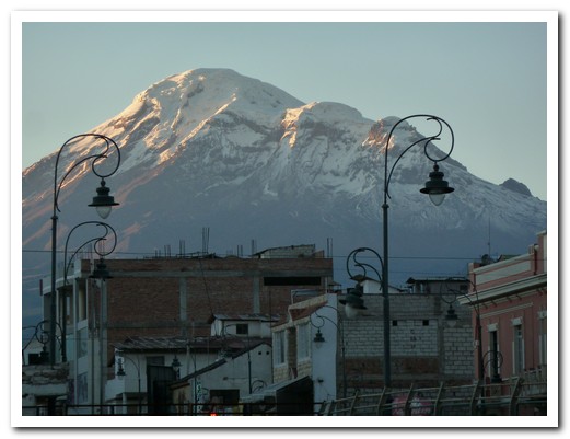
Chimborazo Volcano towers over the city
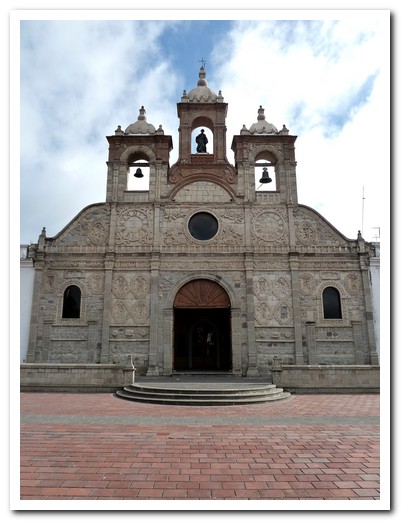
Riobamba Cathedral
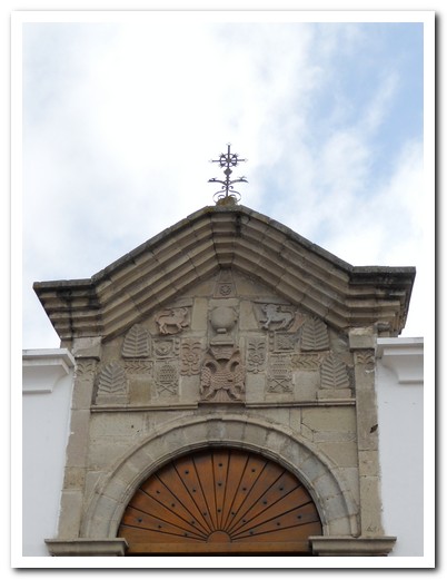
Chapel attached to the Cathedral
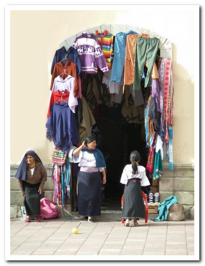
Clothes shop at Riobamba
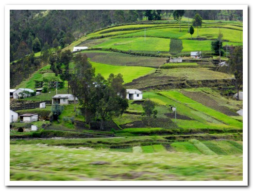
Green green green
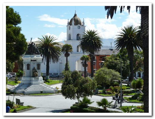
View of the main plaza and Cathedral from our Latacunga bedroom
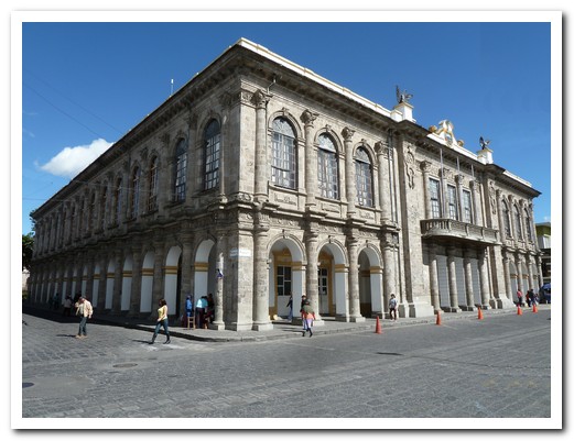
Pumice used in a public building
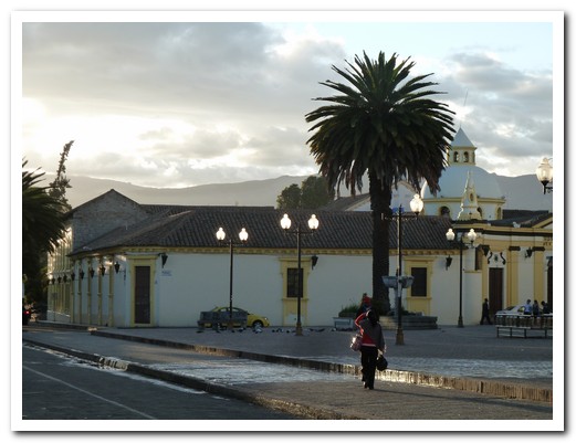
Old hospital at Latacunga
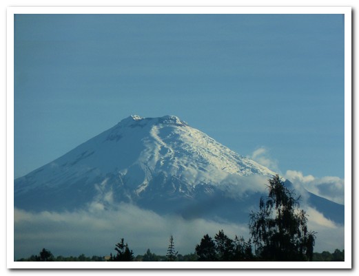
Cotopaxi Volcano 30 kilometres away
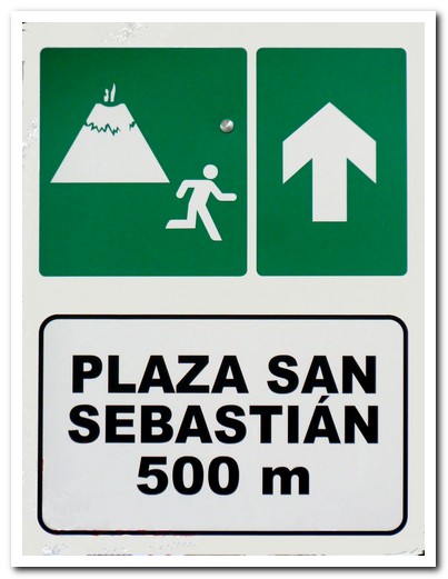
If he blows run this way
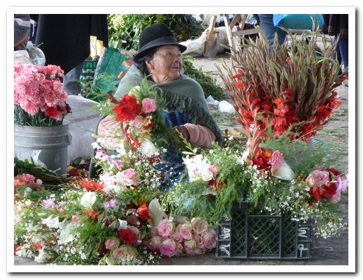
Flower seller at Saquisili market
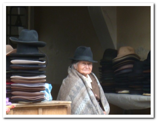
Old lady selling hats
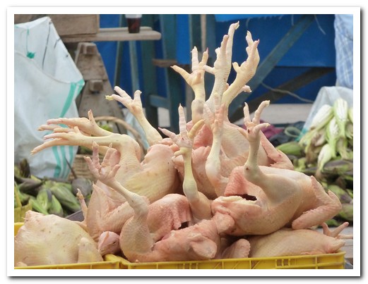
Chickens
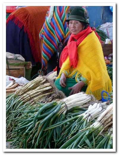
Spring onions for sale
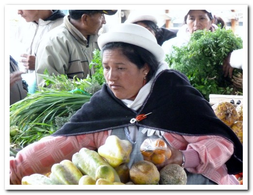
Pawpaws
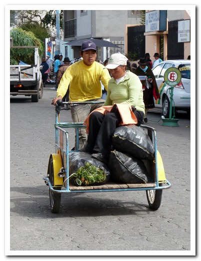
Going home from the market with the shopping
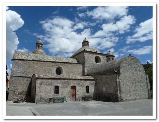
Pujilí church
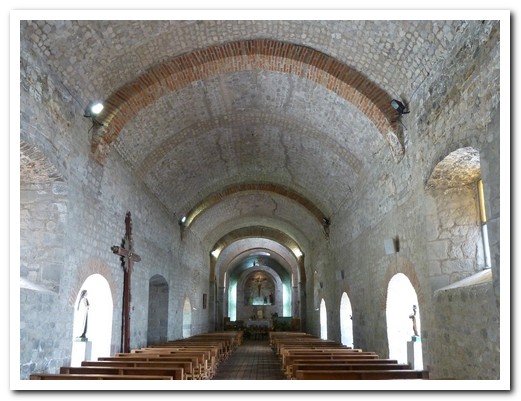
Inside the church
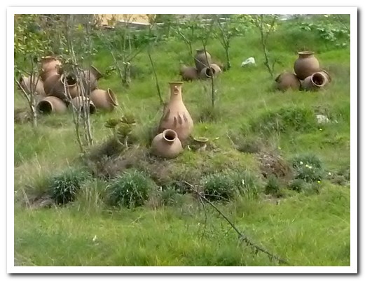
Pujilí pottery
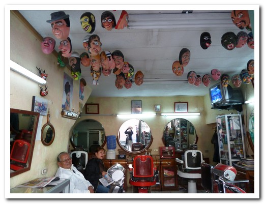
New Year´s Eve masks hanging in a barber´s shop
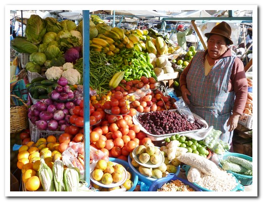
Latacunga Friday Market
Off the Beaten Track in the Central Andes
18th January 2011
… continued …
.
Still in the Central Andes, we set off to stay a couple of days near the volcanic crater Lake Quilotoa [6] for some hiking. The bus struggled as it climbed to some 3800 metres, crossing the páramo – the high plain where onions, beans and potatoes are grown. The air was cold and clear. Small pens held sheep and a few cows and llamas grazed. People in bright clothing were working in their fields. It was the most beautiful scenery. Buses and food in Ecuador are cheap and we enjoy travelling on the local buses, watching people in traditional dress getting on and off.
.
Our first look down into the turquoise crater lake was from the rim at 3850 meters. The next day we walked 400 meters lower inside the crater to the water´s edge, struggling a bit due to the altitude – 45 minutes down and 1 hour up. Sadly, while we were there, a young Canadian tourist fell to his death whilst trying to walk around the rim of the crater without a guide.
.
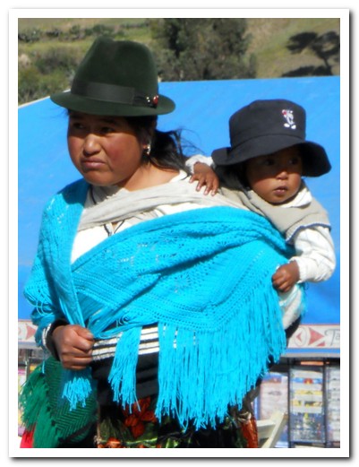
Saturday is market day in Zumbahua, about 10 kilometres away. People selling everything from alpacas to zucchinis and all dressed in their finest packed the town plaza. There was a woman in her market-best skirt and blouse with a beautifully hand embodied shawl, knee high white socks …. and 4 inch heels, dragging a squealing pig through the mess. It was the most colourful market we´ve seen. All the people in this region are indigenous, speak Quechua (the language of the Incas) and are proud of their heritage.
.
It was such a nice, peaceful and beautiful area we decided to stay another day and hike the 12 kilometres from Quilotoa to Chugchilán [7], one of the most beautiful walks in Ecuador. Our local guide Alissia, dressed up with handbag, stockings and high heel shoes set a cracking pace. It took 4:30 hours following the crater rim, descending to the village of Guyama to cross Rio Sihui canyon and the tough climb up to the tiny village of Chugchilán where we spent the night.
.
After a day we would rather forget, we arrived in Baños [8], a touristy town of hostels and adventure tour operators. The small village lies in another lovely fertile valley just below the highly active Tungurahua Volcano. Salasaca [9] is a little indigenous town nestled in the mountains near Baños. In addition to their characteristic clothing – men wear long black ponchos and women dress in naturally dyed bayetas (a type of female poncho) and black anakus (wrap-around skirts) – the community is known for its weaving style which is unlike any other in the world. It is thought that these people might be descendants of slaves bought from Bolivia by the Incas.
.
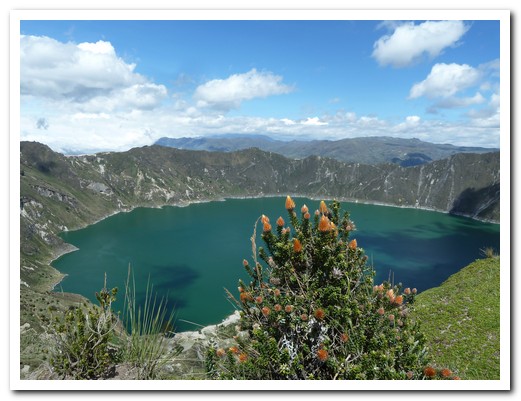
Quilotoa Crater Lake
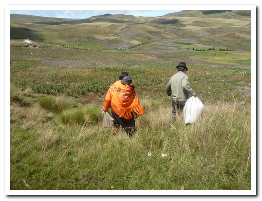
Villagers returning from town
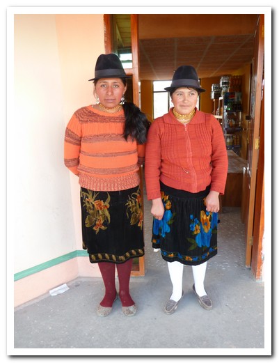
Two pretty señoritas

Countryside around Quilotoa
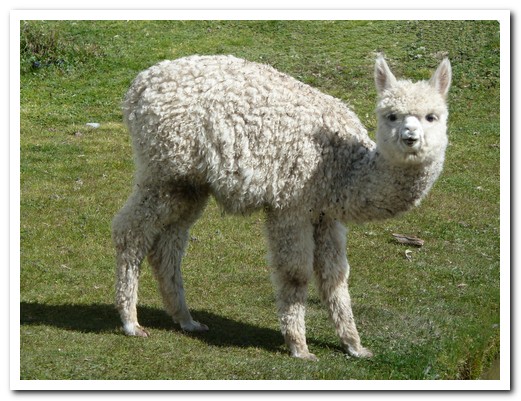
Baby alpaca
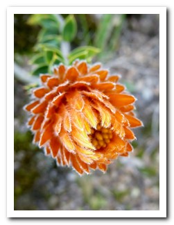

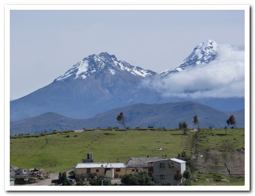
Twin Iliniza Volcanoes behind Quilotoa
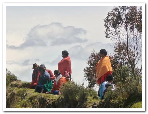
Saturday afternoon get together at the rim of the crater
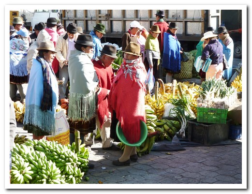
Zumbahua Saturday market

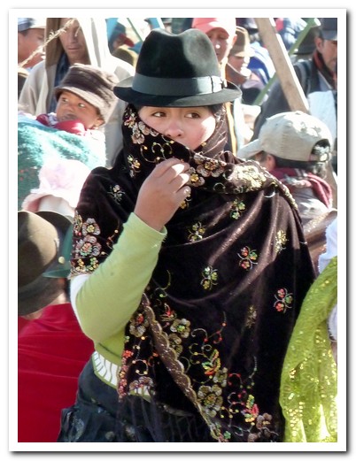
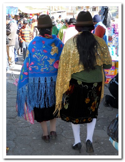
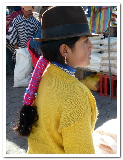
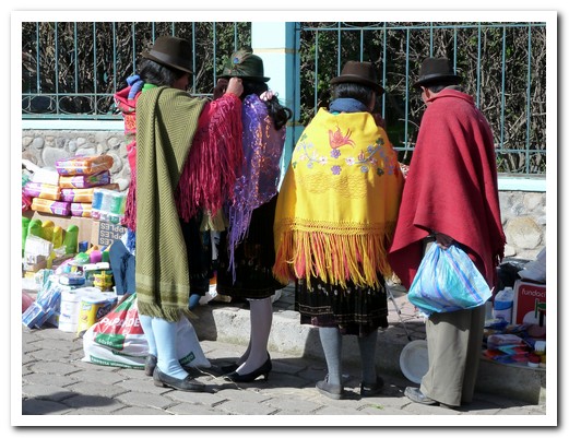
Shopping at Zumbahua market

People eating at the market
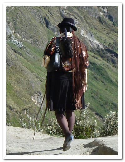
Alissia, our local guide, setting off to Chugchilán
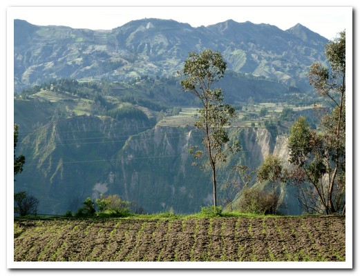
Looking back at the Rio Sihui canyon from Chugchilán

Tungurahua Volcano near Baños

Baños

Handmade toffee is a speciality of Baños

Jaguar at the little Baños zoo
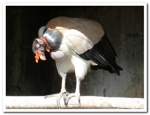
Strange bird at the zoo
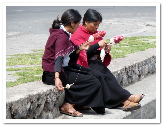
Women of Salasaca spinning wool for weaving
Galápagos Islands
29th January 2011
 After flying into San Cristobal Island, we were soon aboard La Pinta, our home for the next week. The luxury motor yacht carries 48 passengers but on this voyage we were only 14 with a crew of 30. Sea lions lolled about on the rocky shoreline and on boats moored in the harbour.
.
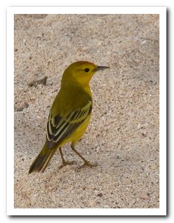
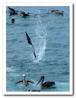
Each night while we slept, the ship sailed to a different island through clam waters – click here for a map. Between delicious meals aboard, we were kept busy by day snorkelling, swimming and going ashore for wildlife viewing. By the end of day 2 we knew the difference between a land and sea iguana, had seen the puffed red chests of the male frigate birds mating display and logged dozens of other bird species. Brightly coloured fish swimming in large schools were almost jumping out of the water and an amazing sight was a sea iguana grazing on seaweed 2 metres below the surface. Snorkelling from the zodiacs, we swam amongst playful sea lions, spotted Galapagos sharks and green sea turtles; but swimming with the Galapagos penguins was the greatest thrill. Jeff almost drowned laughing when a pelican swam up close to him, puts its head under water and opened its mouth wide.
.
Every island has its own unique characteristics, environment and wildlife. The eastern islands were dry; the tough leafless trees were waiting for the rain to come and spiny cactus thrived so a lovely inland lagoon with bright pink flamingos was a big surprise. The western islands have dramatic scenery of jet black lava interrupted by small scattered brackish lagoons with lush vegetation. The westernmost island, Fernandina, has the highest density of marine iguanas, sharing their space with sea lions, crabs, penguins and the flightless cormorant. Meanwhile the rains had already arrived at Santa Cruz, in the centre of the archipelago, turning the forest bright green – we headed to the highlands by bus to explore the underground lava tube and the twin sink holes, stopping to see giant tortoises on the way. Back in the whaling days, a barrel on Floreana Island served as a “Post Office” so, in keeping with tradition, we deposited 2 post cards to be hand delivered by passengers on the next passing ship.
.
Saving the best for last, we had a great day on Española Island. On the white sandy beach, sea lions lay like many rocks, taking no notice of us, the turquoise sea inviting. The other side of the island is a haven for sea birds such as the waved albatross and Nazca boobies. They are curious and have no fear of humans. The Española marine iguanas are bright green and red.
.
After an amazing experience travelling 580 nautical miles on La Pinta, visiting 11 islands and living in luxury we returned to planet earth.
.

Flying over Ecuador enroute to the Galápagos
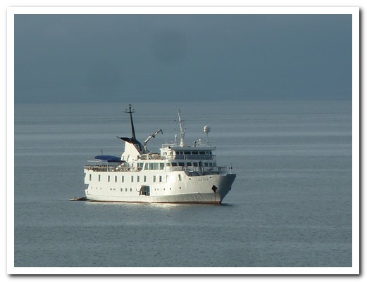
La Pinta
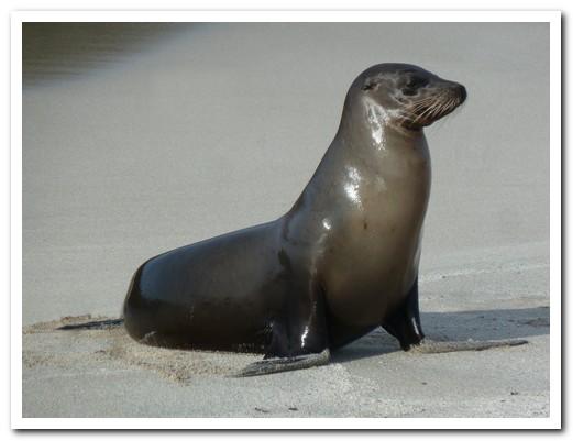
Galápagos sea lion just out of the water

Galápagos hawk waits for prey
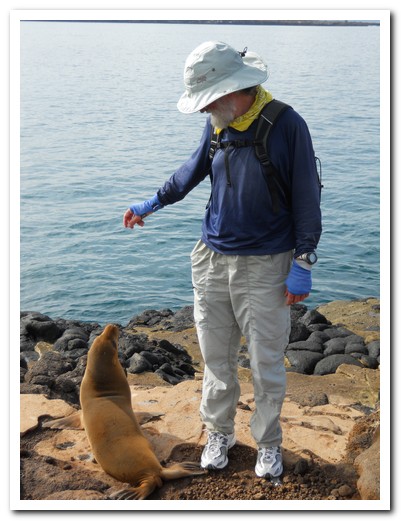
Friendly sea lion
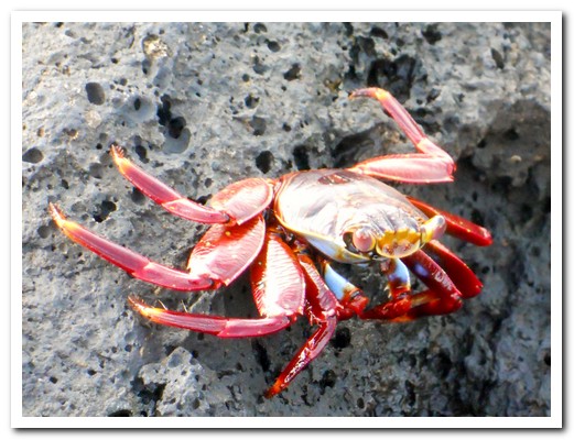
Sally light-foot crabs are all over the rocks

Brown pelican

Swallow tail gull, the only nocturnal gull
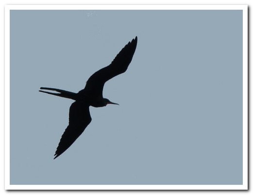
Flying frigate bird, wingspan 2 meters
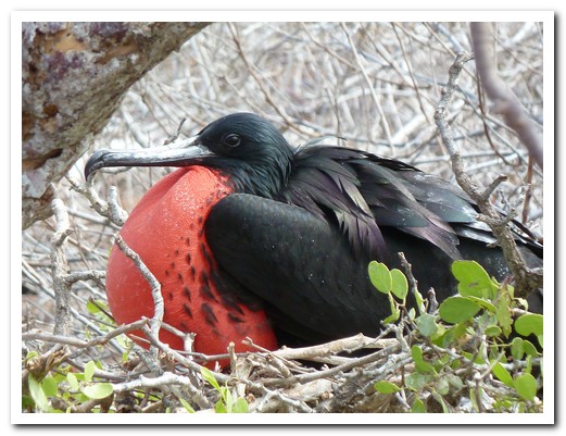
Male frigate bird tries to attract a female

Flying male frigate bird
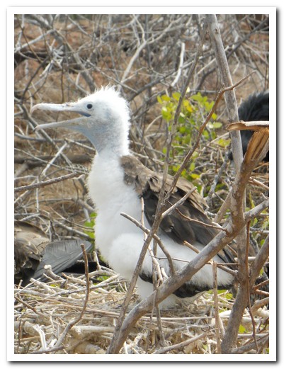
Frigate bird chick
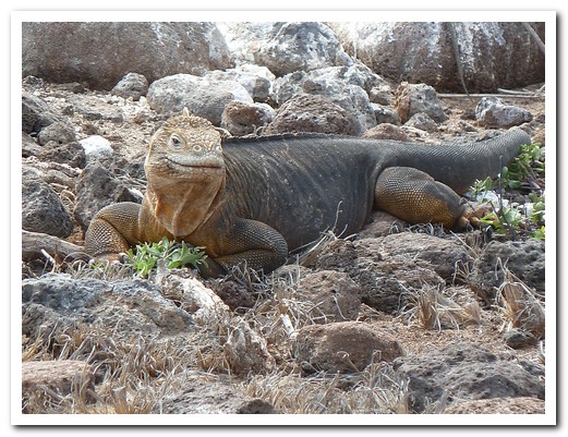
Land iguana

A face only a mother could love
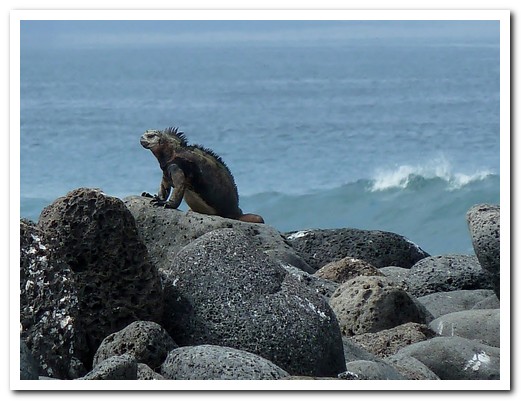
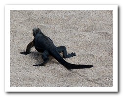
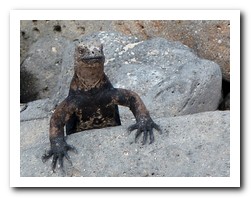
Marine iguana
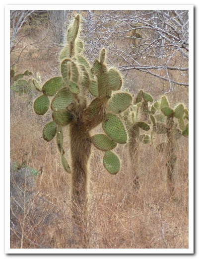
Each island has a different cactus
 |
 |

Flamingo
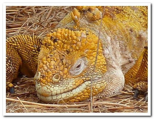
Large land iguana
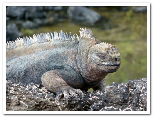
Marine iguana matches its surroundings

Two of the many volcanic islands in the Galápagos

Three turn stone birds - they turn over stones to find food
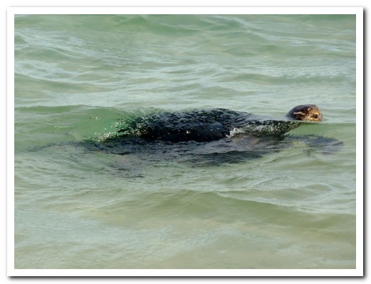
Green sea turtle
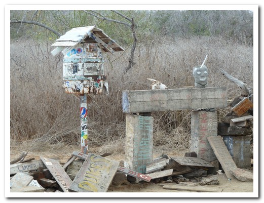
The Post Office

Flightless cormorant
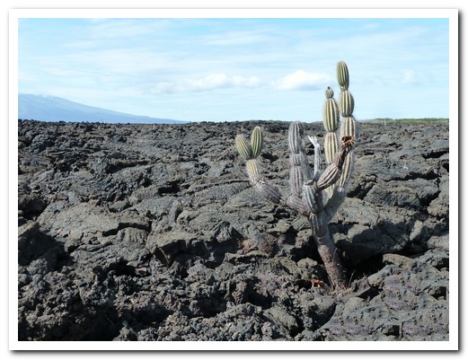
Field of lava on Isabela
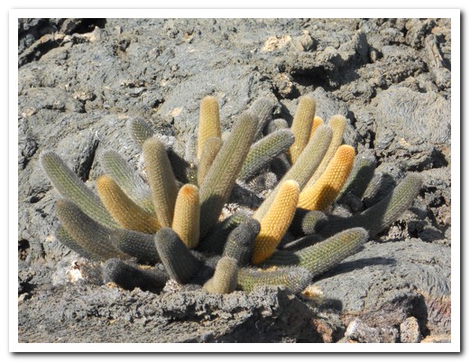
Lava cactus found only in the Galápagos

Sink hole in the lava field filled with water
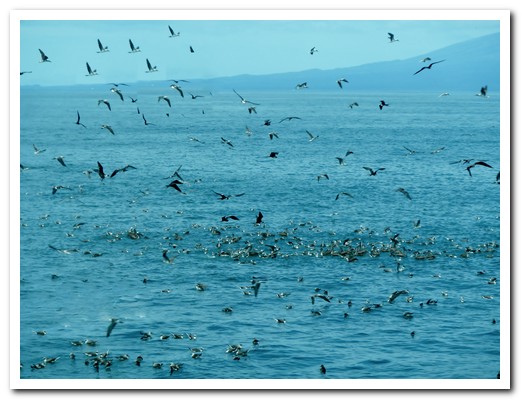
Bird feeding frenzy
 |
 |

Thousands of marine iguanas on Isla Fernandina
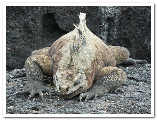
Large male
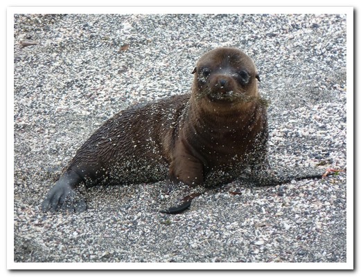
Sea lion pup
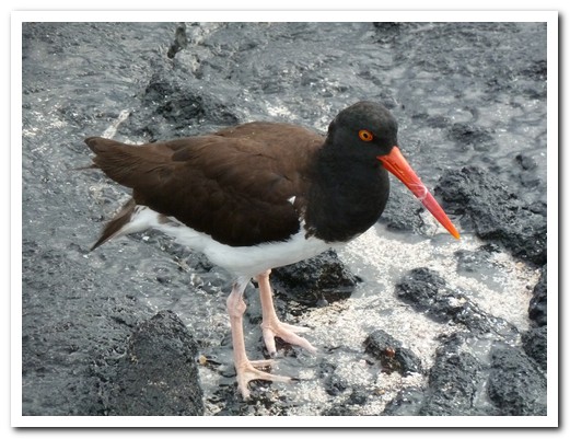
Oyster catcher
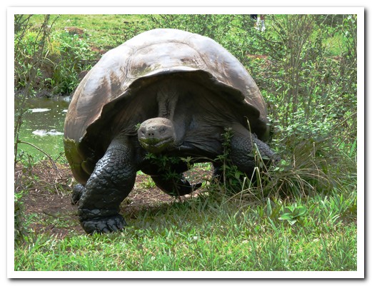
Giant dome shell tortoise

Saddle back tortoise

Two cactus over 200 years old
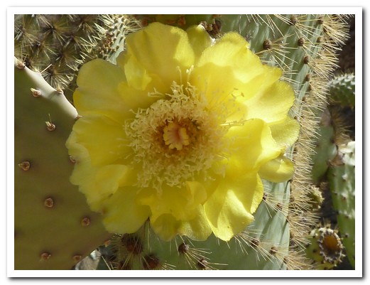
Cactus flower
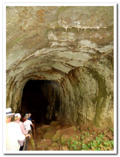
Lava tubes on Santa Cruz Island
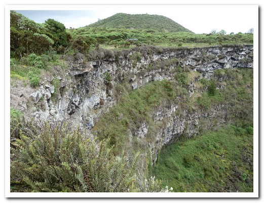
One of the twin sink holes on Santa Cruz Island
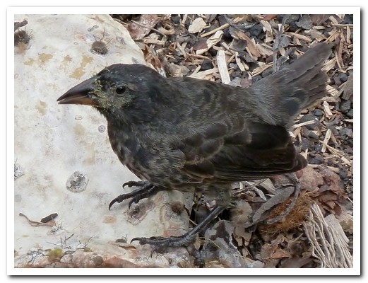
Cactus finch

Dawn on Bartolome Island
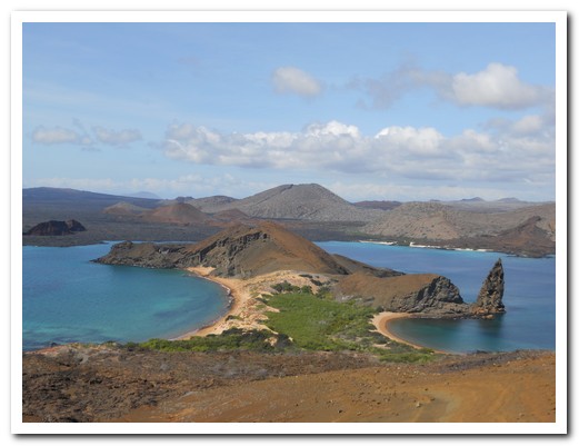
Bartolome Island

Tiny and swift the Galápagos penguin is only penguin found in the Northern Hemisphere
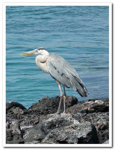
Blue-grey heron
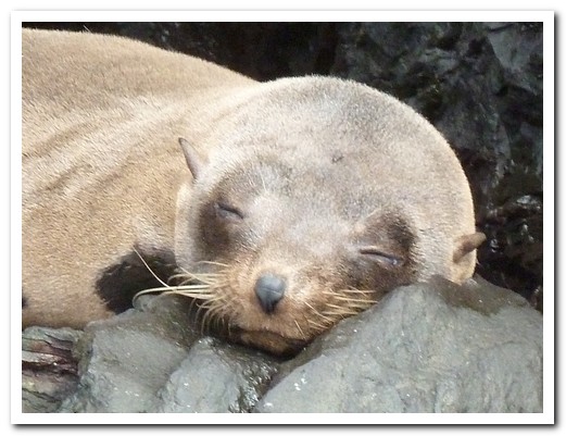
Galápagos fur seal
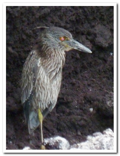
Lava heron on Santiago Island

Sea lions all along the beach on Española Island
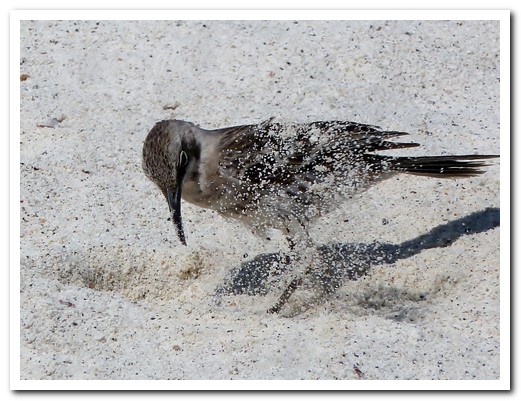
Mocking bird digging for water

Blue footed booby
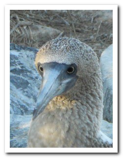 |
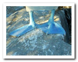 |
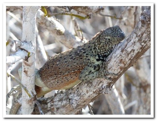
Lava lizard
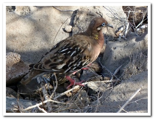
Galápagos Dove with its bright blue eye

Nazca Booby with chick
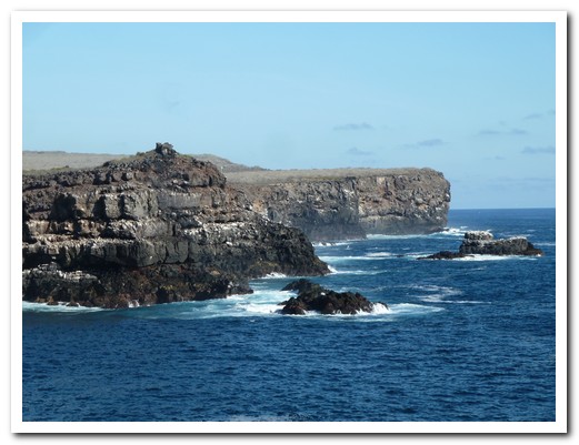
Breeding grounds for sea birds on Española Island

Blow hole
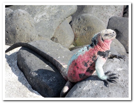
Española Marine Iguana
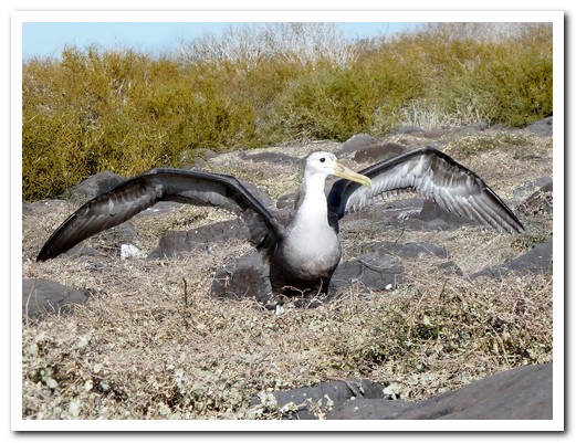
Juvenile Waved Albatross testing its wings
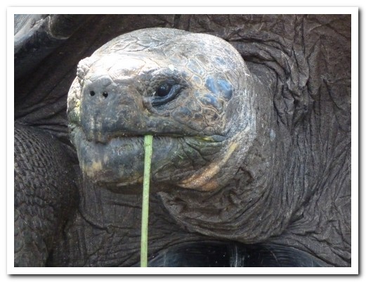
Giant tortoise feeding

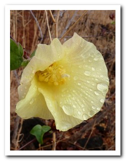
Flower of the cotton bush

Galápagos sunset
Quito
31st January 2011
Once a major Inca city, Quito [2] was occupied as early as 1500 BC by an organised civilisation, the Shyris, who had impressive knowledge of the course of the sun. The original name was Quitsa – meaning the middle of the earth (as in the Equator), but nothing remains of the pre-Hispanic monuments.
.
World Heritage Quito, Ecuador´s capital, lies in a green valley at the base of Pichincha Volcano. A cable car climbs to the lookout Cruz Loma (4000 meters) for stunning views of the city and the surrounding volcanoes and hills. The historical centre is a maze of narrow streets with a treasure of colonial buildings and churches.
.
We spent a few days strolling aimlessly taking it all in using the family run Jumbo Lodging, a beautifully restored building, in the old city as a base. The owner of Jumbo, Luis, was friendly and helpful and told us about the well hidden Vista Hermosa where we ascended in the antique elevator complete with a folding wrought iron gate and a uniformed operator to a spectacular view of Colonial Quito. Another find was the Heladería San Agustín which, since 1858, has been serving delicious ice cream and the best ceviche (seafood marinated in lime juice and spices). Every Monday is the ceremonial changing of the guards at the Presidential Palace where the President greets the public – quite a spectacle.
.
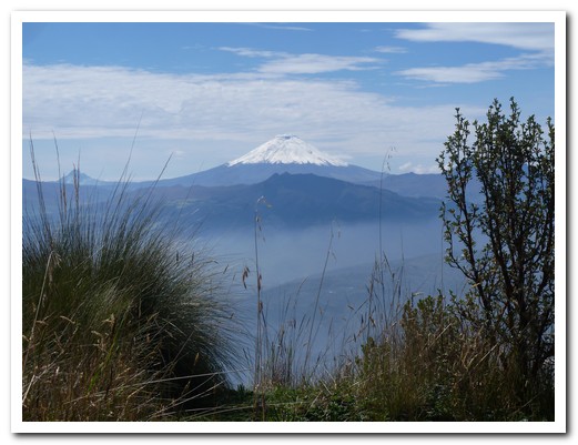
Looking down at Quito with Cotopaxi Volcano in the distance
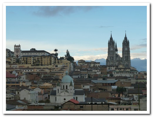
Quito skyline with the Gothic Basilica
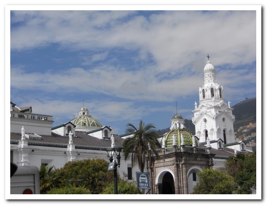
Cathedral on Plaza Grande
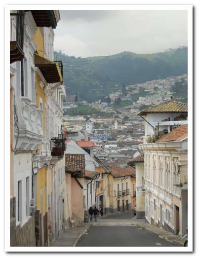
Outside Jumbo Lodging, a narrow street in the historic centre
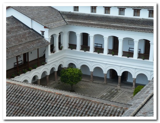
Enclosed courtyard
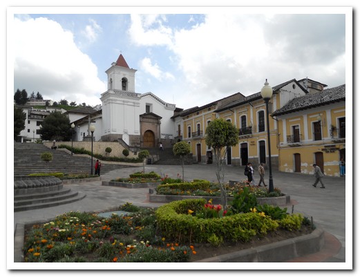
Iglesia San Blas
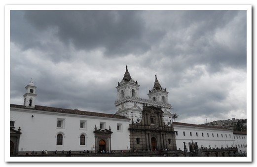
Iglesia and Convento San Francisco
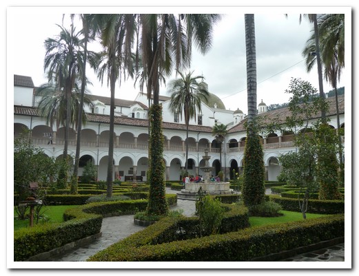
Courtyard inside San Francisco Convento
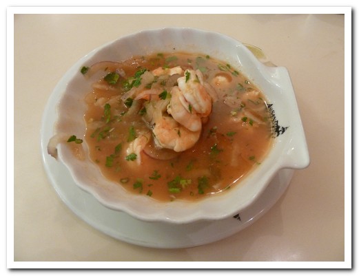
The best ceviche in South America at Heladería San Agustín
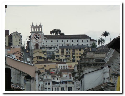
One of Quito´s hills
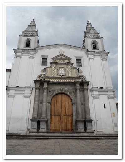
Monasterio de Carmen Alto
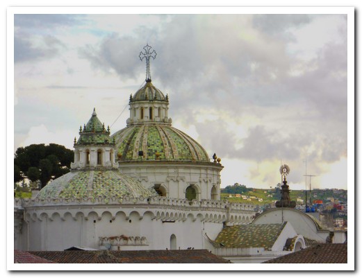
Green tiled domes
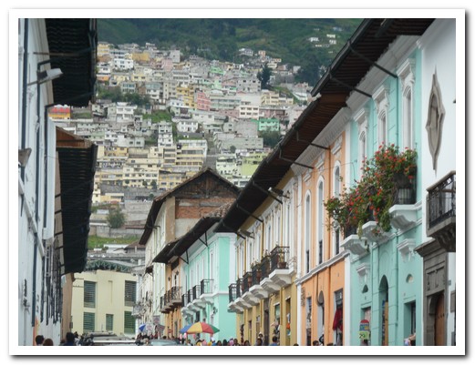
Bright Quito street
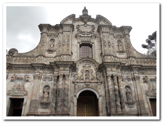
La Iglesia de la Compañía de Jesús (Jesuit Church) of Quito - 1605-1765
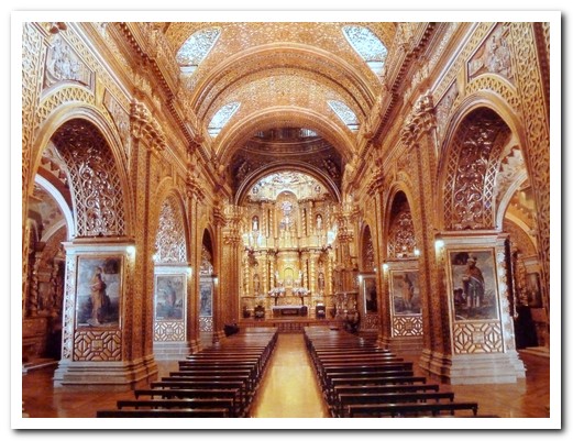
The inside the Jesuit Church is covered in seven tons of gold leaf
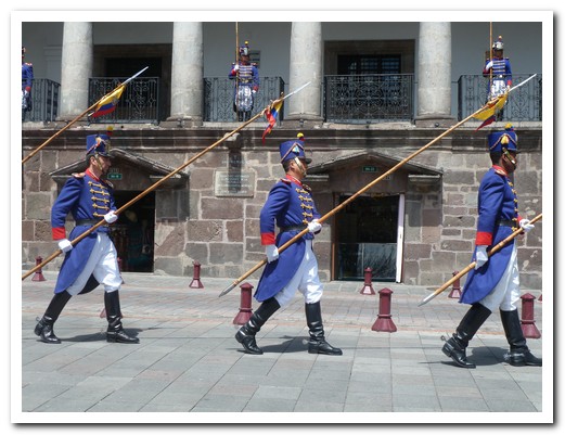
Changing of the guard outside the Presidential Palace
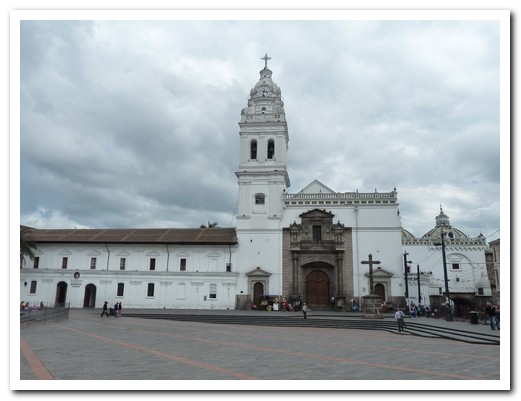
Santo Domingo
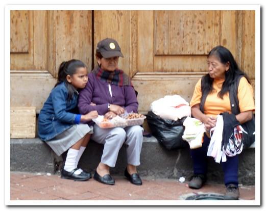
Selling bras on the Monastery steps
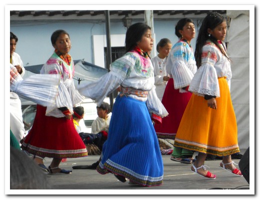
Performance by school children
Mindo
03rd February 2011
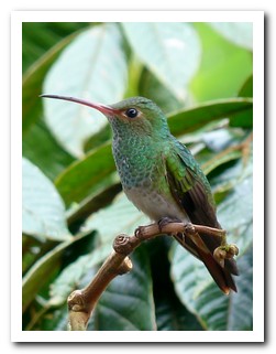
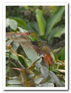
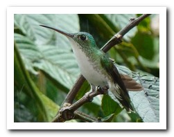
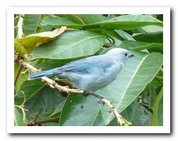
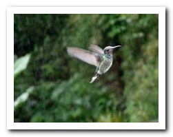
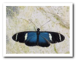
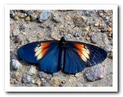
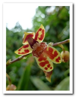
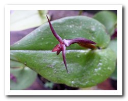
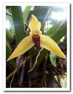
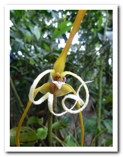
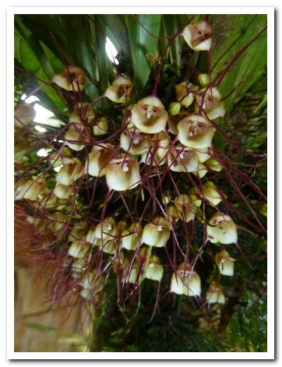
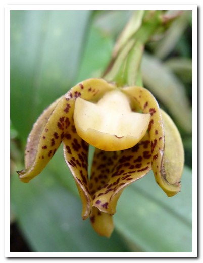
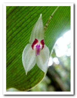
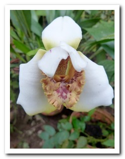
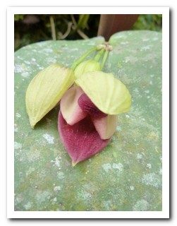
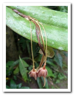
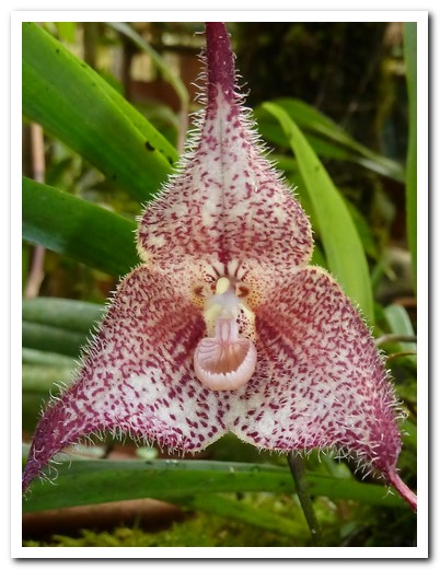
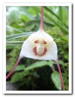
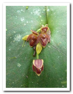
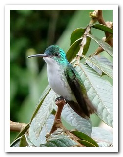
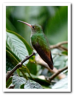
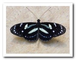
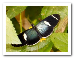
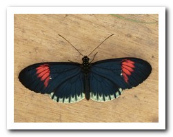
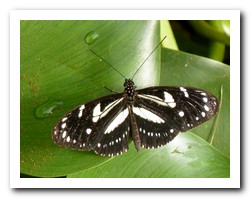
The little village of Mindo [10] lies hidden in cloud forest on the western slopes of the Andes, 2 hours by bus from Quito. It is a paradise for lovers of birds, butterflies and orchids. We could not tear ourselves away from the dozens of hummingbirds flitting around the lush gardens of our lodging, the Dragonfly Inn. Over 500 species of birds have been spotted around Mindo – for great bird pictures from Ecuador, click here.
.
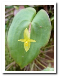
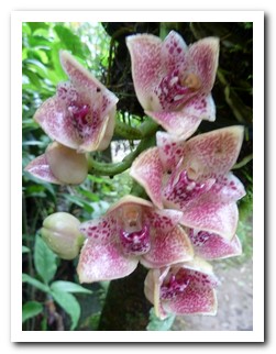
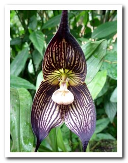
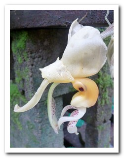
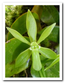
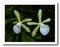
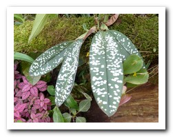
Trails lead through dense forest to secluded waterfalls. In the early morning the birds are most active. The blooms at the family run orchid gardens are local species, unlike anything we had seen before. Some of the orchids so small they had to be seen through a magnifying glass. We walked a few kilometres along the road to the butterfly farm; it was hard to leave.
.
Mindo has its very own, small scale chocolate factory, so of course we did the tour and tasted the product.
.
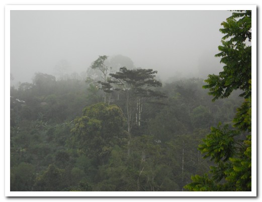
Cloud forest around Mindo
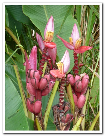
Banana flower
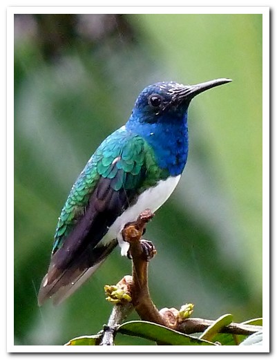
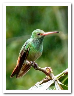
Hummingbird
 |
 |
 |
 |
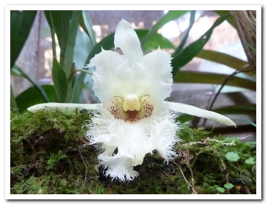
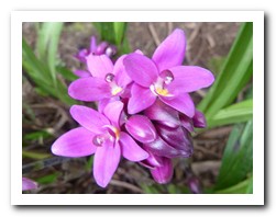
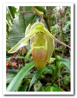
Orchid
 |
 |
 |
 |
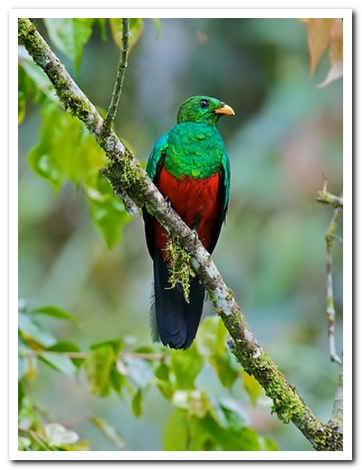
Quetzal - National bird of Ecuador
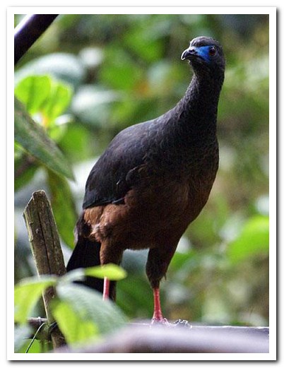
Guan
 |
 |
 |
 |
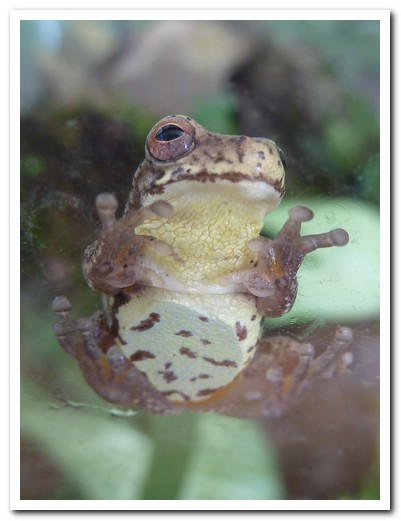
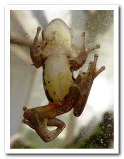
Tiny frog
 |
 |
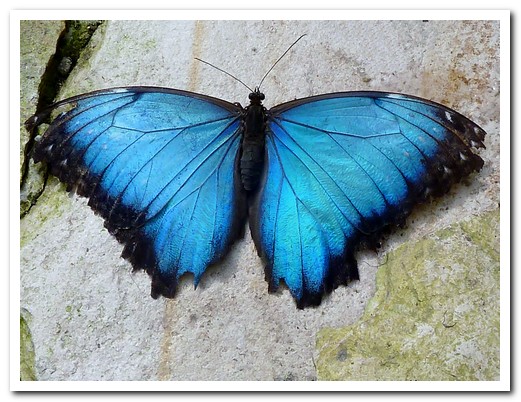
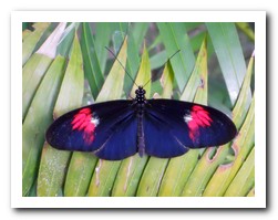
Blue butterfly
 |
 |
 |
 |
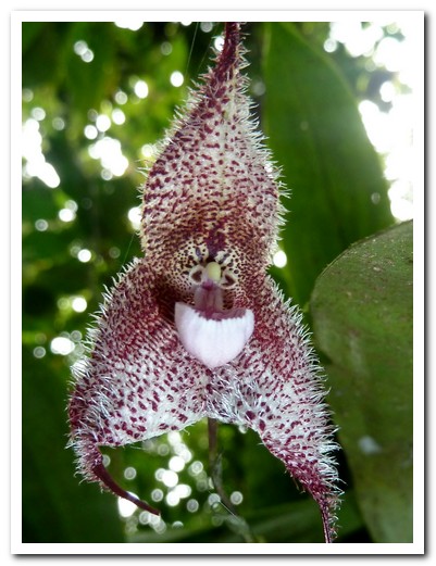
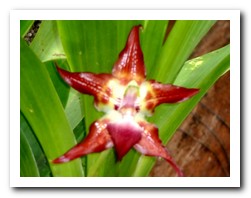
Orchid
 |
 |
 |
 |
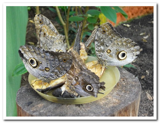
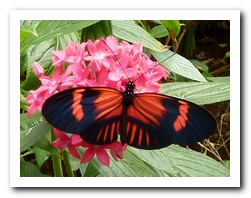
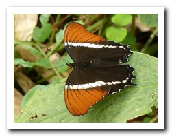
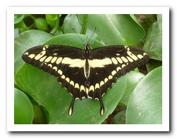
Owl butterflies feeding on bananas
 |
 |
 |
 |
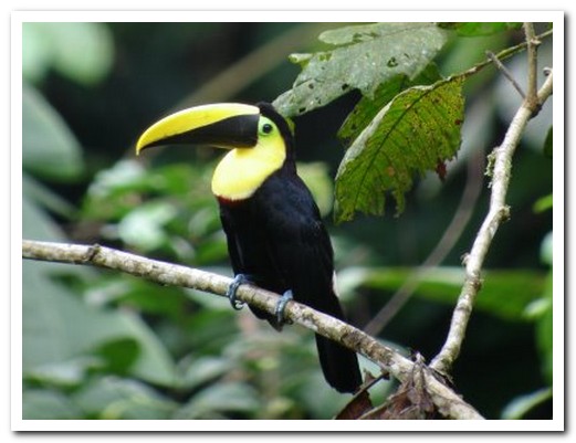
Choco toucan
 |
 |
 |
 |
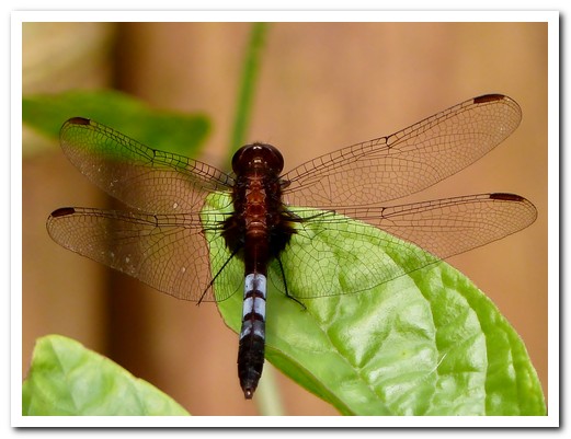
Dragon fly
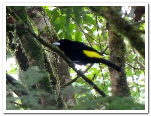
Black and yellow bird in the forest
 |
 |
 |
 |
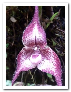
Orchids
Orchid
 |
 |
 |
 |
Orchid
 |
 |
 |
 |
 |
 |
 |
 |
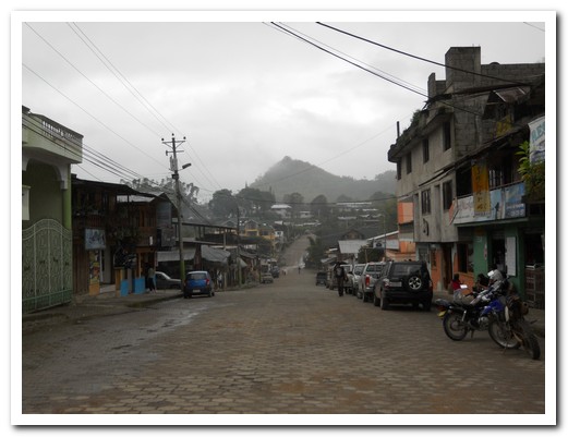
Main street of Mindo
Otavalo
06th February 2011
The city of Otavalo [11], at 2600 meters is 2 hours northeast of Quito and sits near the tranquil lake San Pedro at the base of Imbabura Volcano. The Saturday handicraft market at the Plaza de los Ponchos, famous for multi coloured woven textiles, traditional musical instruments and other quality hand made products, always draws a crowd.
.
The Otavaleños proudly wear their traditional clothes. The men have their hair long and plaited, wear calf length trousers and a blue poncho. The women, a white embroidered blouse, lots of gold coloured beads around the neck, a shoulder wrap and an ankle length skirt (anaco) fastened with an intricately woven cloth belt (faja). Both wear simple sandals (alpargatas) which were once made from hemp.
.
Just outside of Otavalo, the Condor Park provides refuge for injured birds of prey. We enjoyed the flying show they put on there. Next day we did a pleasant 14 kilometre walk around the volcanic lake Mojanda, about 4,000 meters up.
.
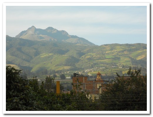
Mountains around Otavalo
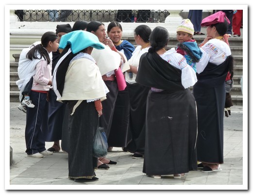
Local women chatting
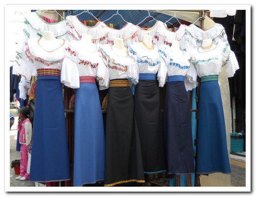
Traditional fashion
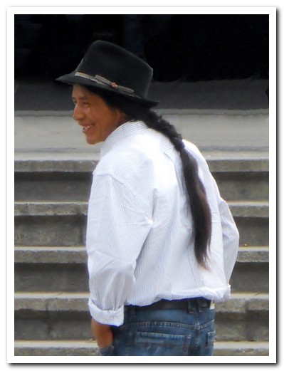
Otavaleño
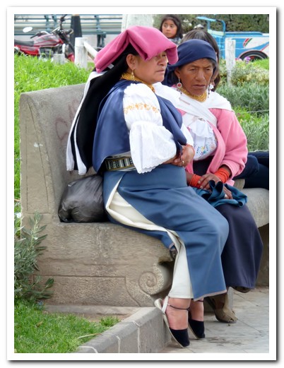
Two ladies resting
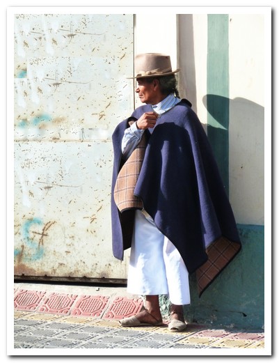
Typical men´s dress
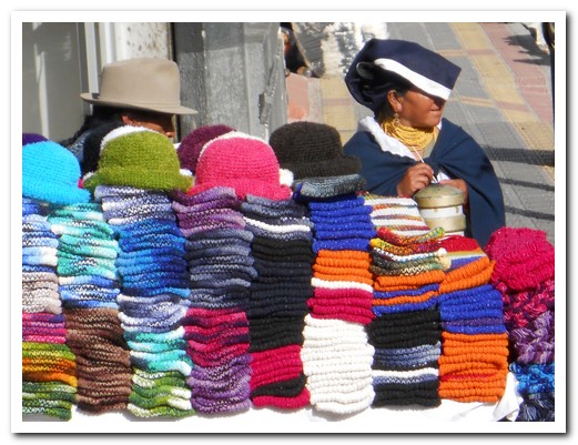
Saturday market
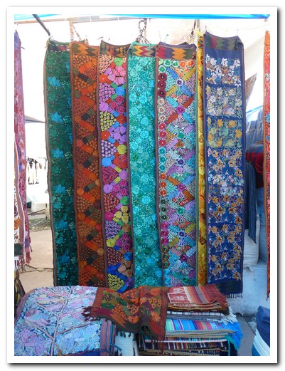
Colourful weaving
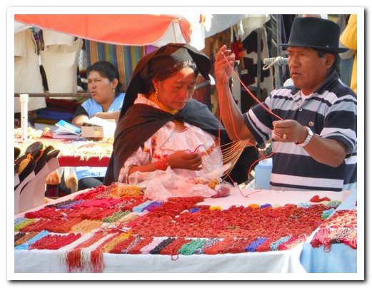
Red beads for sale
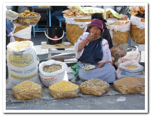
Lady selling corn
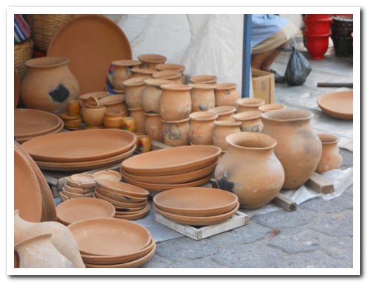
Local pottery
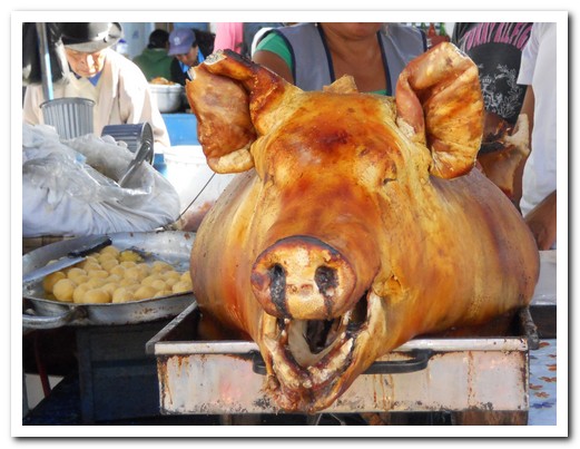
There is always pork
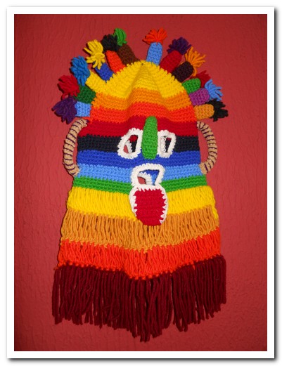
Mask worn for celebrations
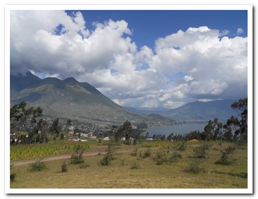
Lago San Pedro
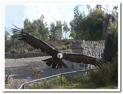
Condor at the refuge outside Otavalo
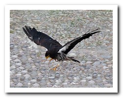 |
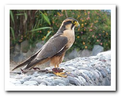 |
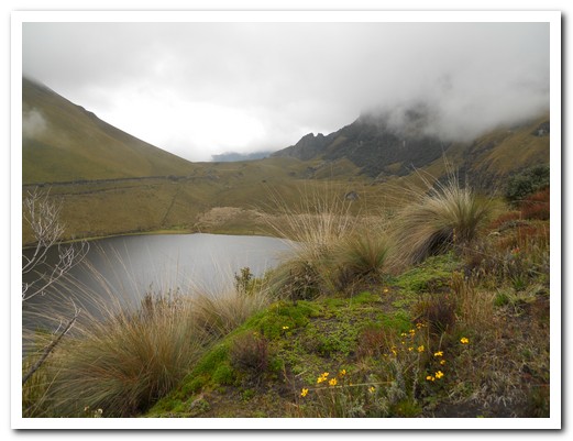
Lago Mojanda
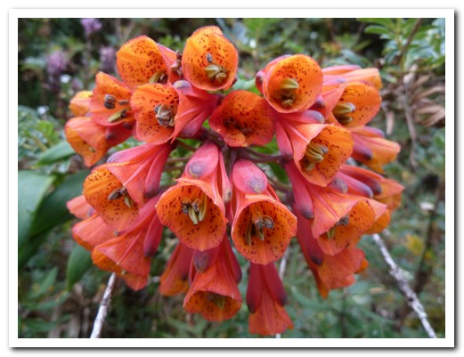
Wildflowers around the lake
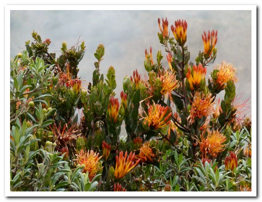
More wildflowers
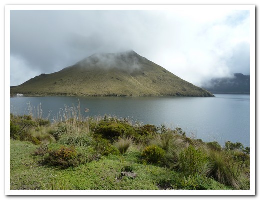
Lago Mojanda
Ecuadorian Amazon
12th February 2011
We were soon speeding down the Napo River after a 30 minute flight from Quito [2] into the small town of Coca [12] in the Ecuadorian jungle. The Napo River eventually empties out into the Amazon further south in Peru. After 2 hours on the river, a short trek through thick forest and a canoe ride across a tranquil lagoon, we reached Sacha Lodge [13] (listed in 1,000 Places to See Before You Die: A Traveler’s Life by Patricia Schultz and possibly one of the most bio diverse places in the world).
.
The eco lodge lies on 1800 hectares of privately owned undisturbed primary forest with most of their employees being from the nearby indigenous Quichua communities. The guides are expert on the flora and fauna around the lodge. We had many opportunities to view the wildlife by walking or canoeing either in the early morning or late in the afternoon when there was more activity. We spent the midday hours lazing in hammocks.
.
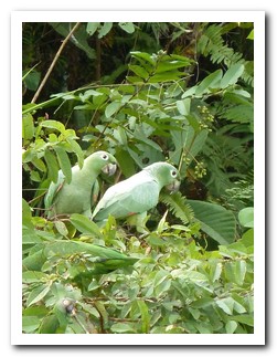
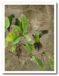
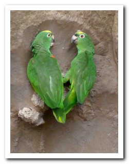
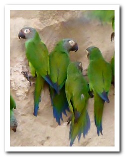
The highlight was a boat trip to see the parrot licks within the nearby Yasuní National Park. Every morning, thousands of bright green and blue parrots come to eat clay deposits on the Napo River. The parrots live by eating nuts from a variety of trees some of which have a toxin in the nut. Certain minerals in the clay are able to neutralize the toxins in these nuts. The male parrots guard the nests and young whilst the females gorge themselves on the clay which they regurgitate when they return to their nests up to 50 kilometres away.
.
Click to compare with Peruvian Amazon, the Bolivian Amazon or the Amazon River to Santarém & Amazon River to Manaus.
.
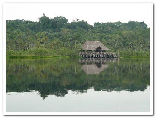
Sacha Lodge reflected in the lagoon
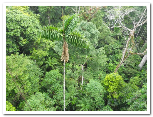
200 species of tree per hectare
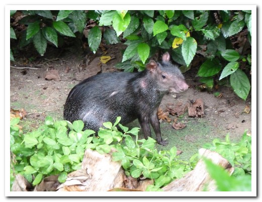
Black Agouti near our cabin
 |
 |
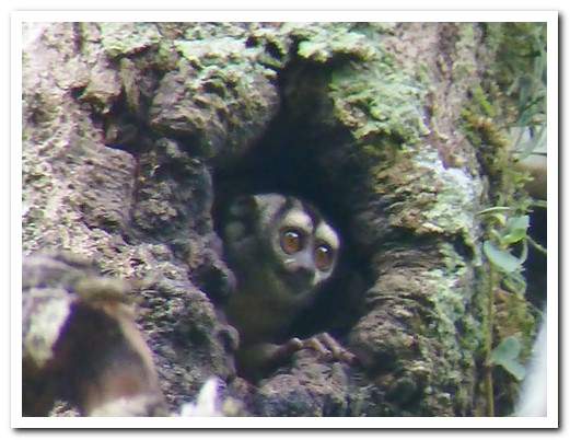
Nocturnal owl monkey
 |
 |
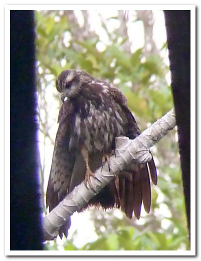
Snail kite
 |
 |
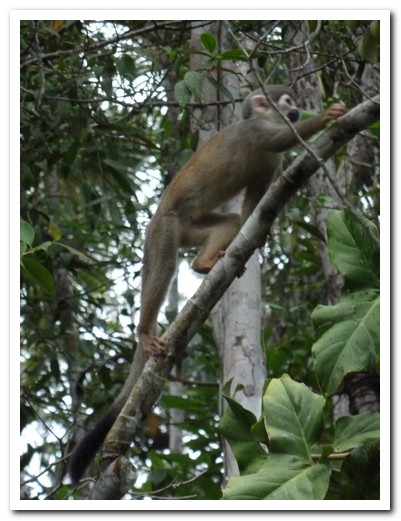
Squirrel monkey
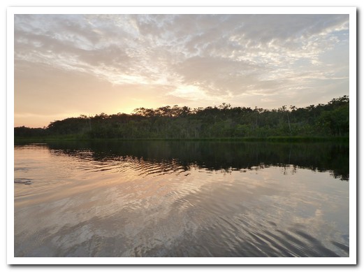
Sunset over the lagoon
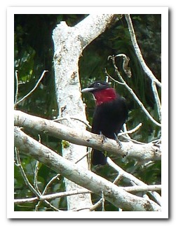 |
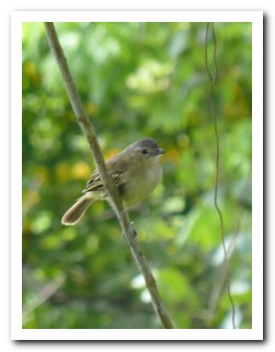 |
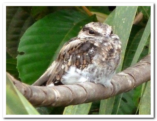
Nightjar
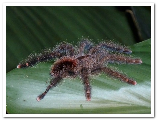
Tarantula
 |
 |

Green lizard
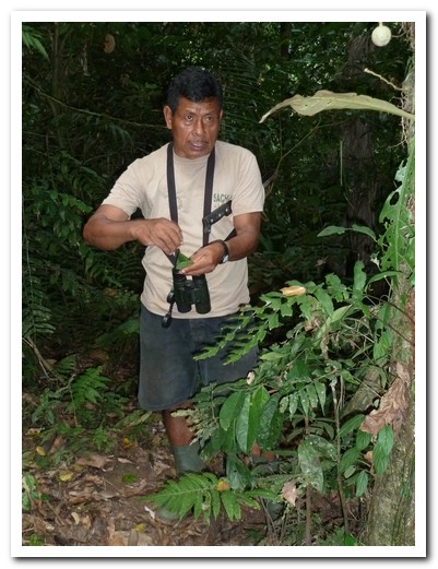
Our local guide Ernesto explains the medicinal use of a jungle plant
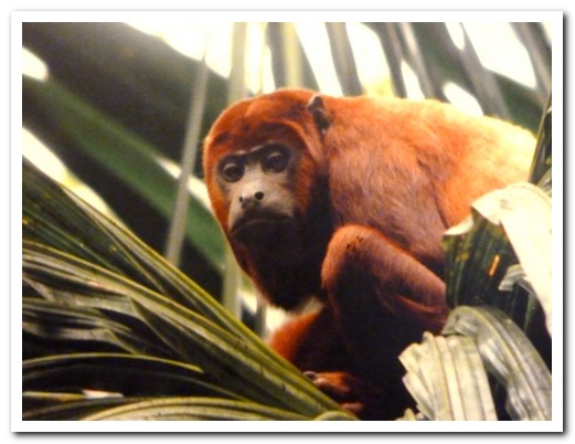
Howler monkey
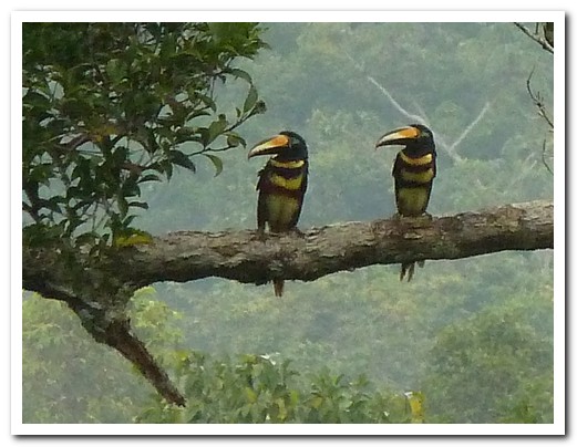
A pair of Many Banded Aracaris
 |
 |
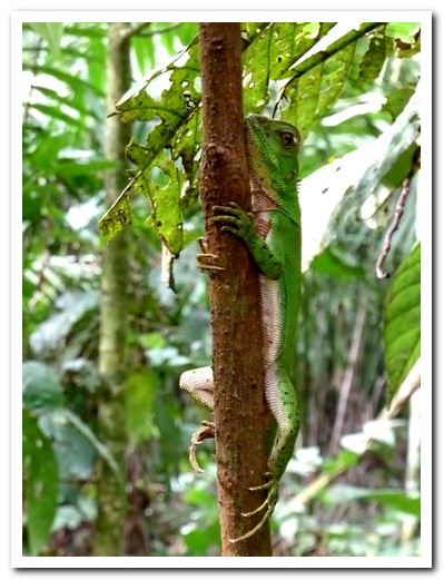
Green lizard hugs the tree

Marco, our guide, paddles us up a creek
 |
 |
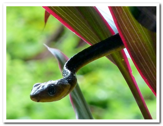
Whip snake
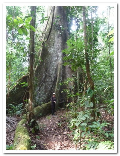
Giant ceiba tree

Boardwalk to the lodge
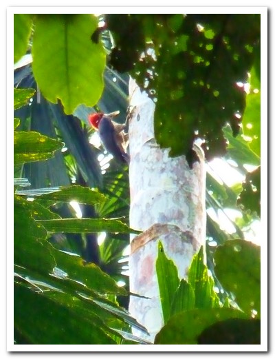
Woodpecker
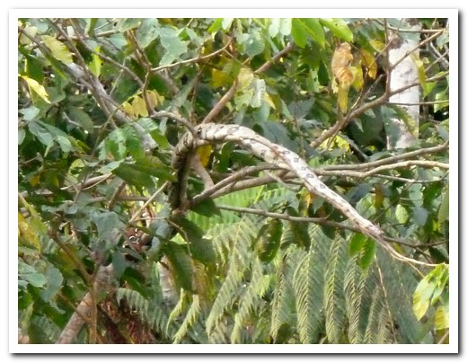
Boa
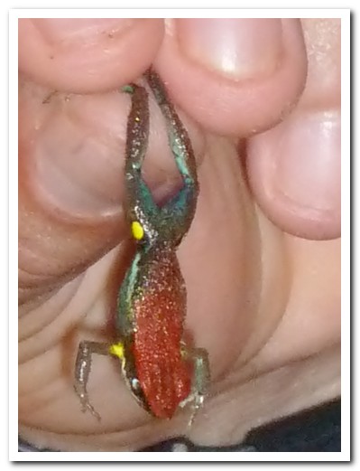
Poison dart frog
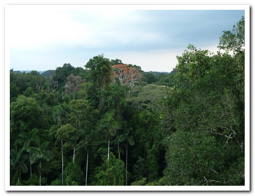
Jungle canopy
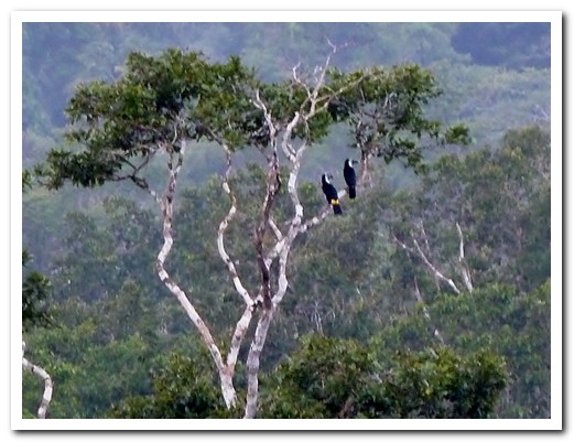
Toucans
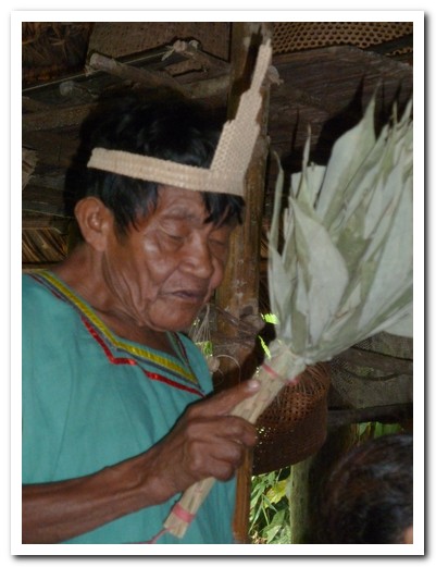
Shaman from a nearby village
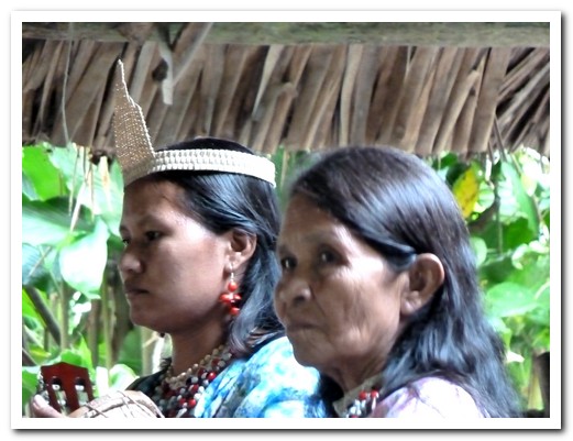
Village women
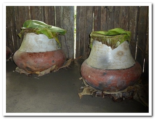
Chicha brewing in ceramic pots
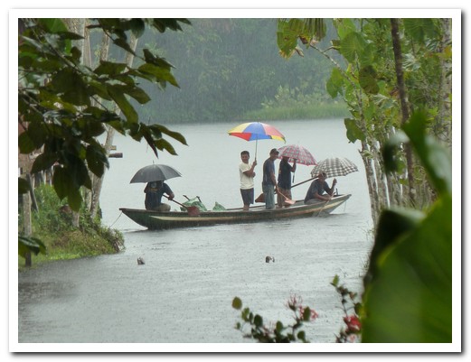
Canoeing in the rain
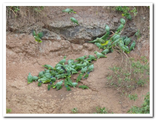
Parrots on the clay lick
 |
 |
 |
 |
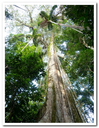
Really tall tree
 |
 |
 |
 |
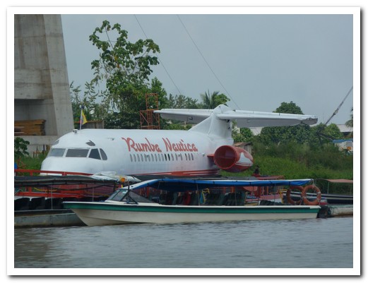
An F28 became a floating disco on the Napo River at Coca after crashing there