Categories
- Argentina
- Chile
- Antarctica
- Easter Island
- Falklands (Malvinas)
- Bolivia
- Peru
- Uruguay
- Paraguay
- Brazil
- Venezuela
- Colombia
- Ecuador
- Galapagos
- Panama
- Costa Rica
- Cuba
- Nicaragua
- Honduras
- El Salvador
- Guatemala
- Belize
- Mexico
- Latin American Xmas
Pages
- Map of South America
- Home Page
- First week in Latin America – October 2009
- Map of Central America
- Contact Us
- The Jesuit Missions in South America
- A week in Buenos Aires
- Street Art of Buenos Aires
Archives
- October 2011 (3)
- September 2011 (9)
- August 2011 (10)
- July 2011 (7)
- June 2011 (6)
- May 2011 (11)
- April 2011 (10)
- March 2011 (4)
- February 2011 (5)
- January 2011 (6)
- December 2010 (6)
- November 2010 (4)
- October 2010 (8)
- September 2010 (5)
- August 2010 (7)
- July 2010 (5)
- June 2010 (6)
- May 2010 (6)
- April 2010 (7)
- March 2010 (6)
- February 2010 (9)
- January 2010 (4)
- December 2009 (8)
- November 2009 (5)
- October 2009 (2)
México at Last!!!
17th June 2011
México at last!!!
.
We began in Chetumal [1], just over the border from Belize, with a visit to the “must see” Museum of Maya Culture. The Yucatán Peninsula is dotted with the remains of grand Maya cities so we headed inland to the small village of Xpujil [2] to see the ruins of Xpujil. A large structure topped by 3 towers dominates the site.
.
Becán (550 BC – 1000 AD), a few kilometres away, is surrounded by a moat, unique in the Mayan cities. We had the ruins to ourselves surrounded by only the jungle and its eerie early morning sounds.
.
The vast World Heritage site of Calakmul sits within a biosphere reserve. Our guide Nicolas (Kaan Expeditions) pointed out birds and animals along the way. Being hard to reach there were very few other visitors. The tallest 82 metre high building towers over the trees that surround ancient temples. The city flourished from 250 AD to 695 AD and some of the structures still have wooden beams from those times. We tried to picture the city as it once stood, brightly painted stucco covering huge pyramids which surrounded large paved plazas.
.

Statue in Museum of Maya Culture In Chetumal
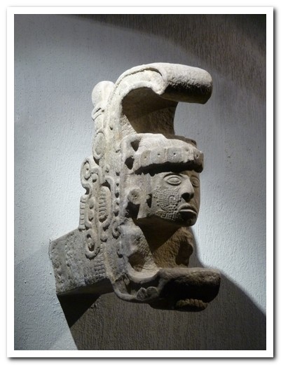
Part of a Mayan Temple in the Museum
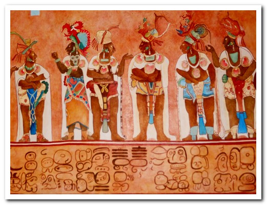
This shows how the inside walls were decorated ...
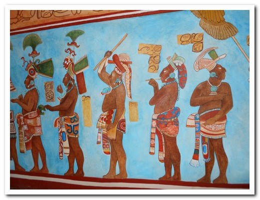
... in vibrant colours

Breakfast tamales sold beside the road at Xpujil

3 towered structure at the Xpujil site is atypical - normally only 2 towers were used
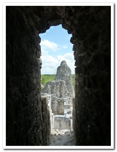
View of one tower through a Mayan arch
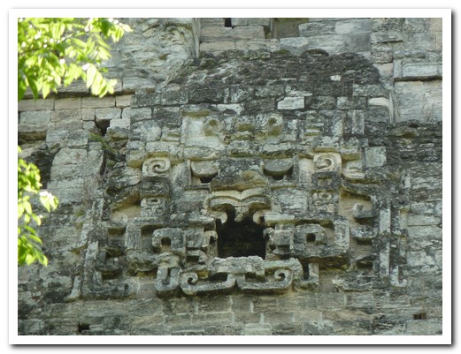
Jaguar mask on the back of the central tower
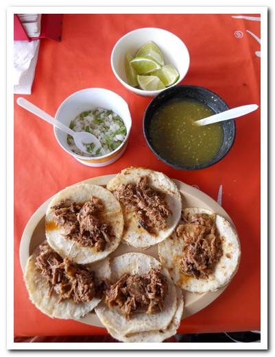
Simple roast meat taco with green hot sauce and lime - yum!
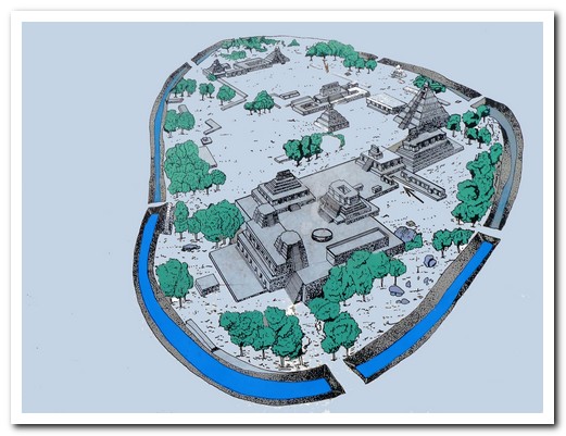
Becán was surrounded by a moat - unique in the Mayan world
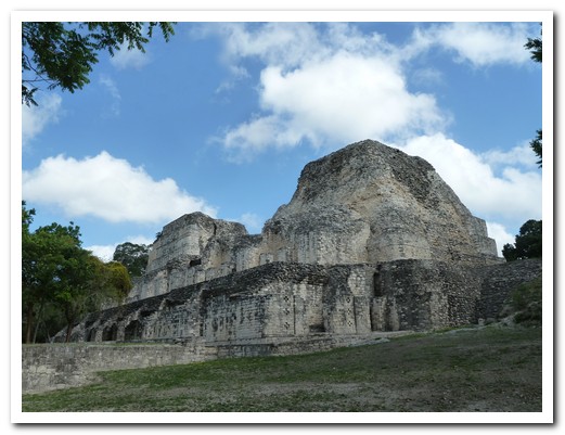
2 towered structure
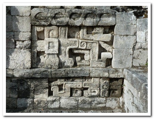
Representation of a snake on a Becán building
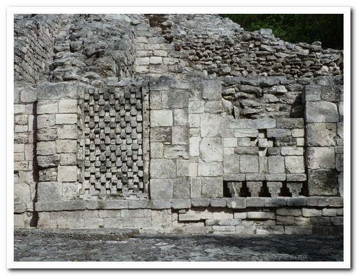
Typical Rio Bec style detail on a Becán building
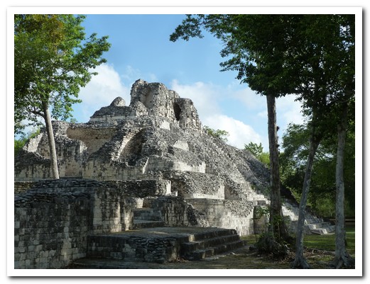
Rounded corners and well made blocks of the Rio Bec style
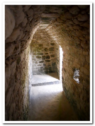
Corbelled arch is seen in all Mayan structures
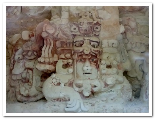
Original fresco on an interior temple has traces of red paint
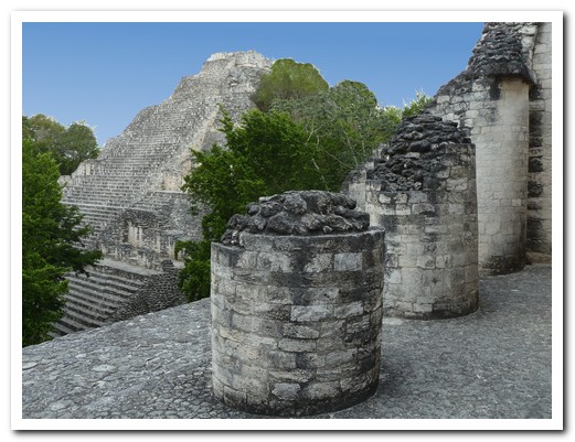
Round columns were unusual
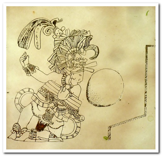
Depiction of the ancient Mayan ball game ...
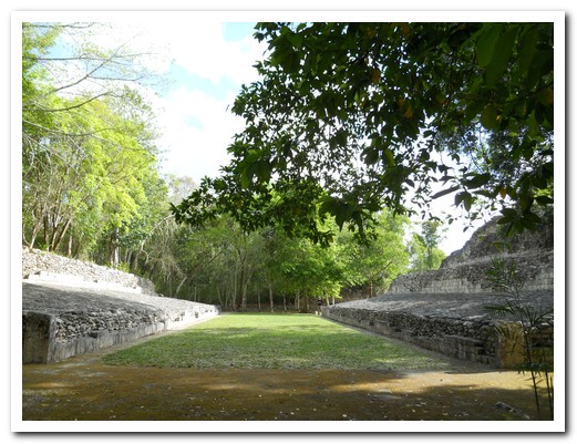
... played in this ball court

Keel Bill Toucan in the Calakmul Biosphere Reserve
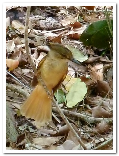
A rarely seen Royal Flycatcher

Tortoise

Roadside Hawk with prey
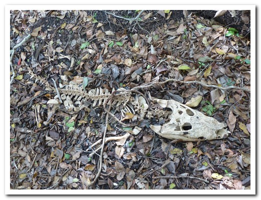
Skeleton of a crocodile, probably killed by a jaguar
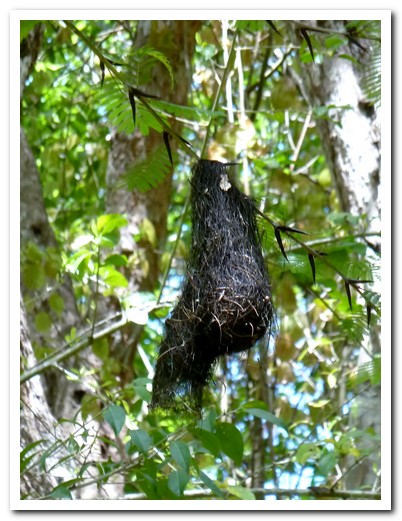
Hanging nest of the Oriel bird opens at the bottom
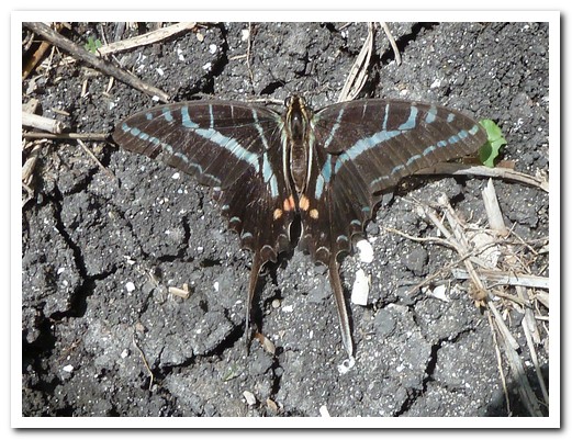
Butterfly
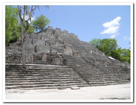
Main structure at Calakmul at 82 meters high - you cannot see the top temple from below
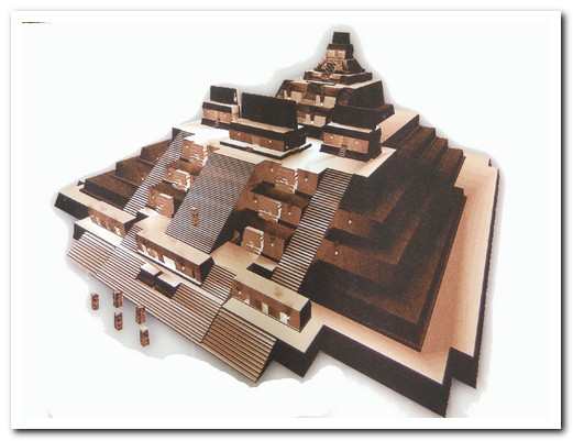
Diagram of the structure
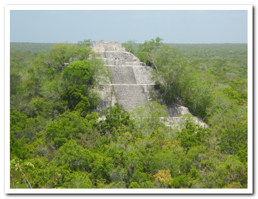
A temple rising out of the surrounding jungle

Leaning stela in the forest

This building was found just as it is at Calakmul - it has not been restored

Stepped pyramid (Calakmul) - various layers evident
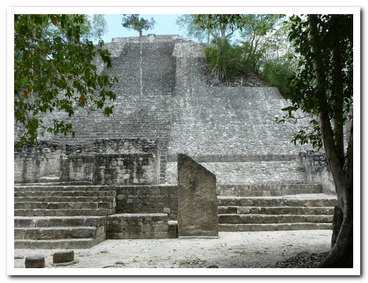
Another structure at Calakmul
 |
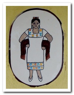 |
| Mens and Ladies baños (toilets) |
Caribbean México
21st June 2011
The ruins at Tulum [3] may be modest but the setting on a cliff above the ocean, grand. It was occupied between 1200 AD and 1521 AD, at the end of the Mayan civilization. On borrowed bikes from the hotel we peddled out early to avoid the heat and the hordes.
.
Around Tulum there are many cenotes, sections of caves that have collapsed leaving behind round sinkholes filled with clear, cool water. No need for a mask and snorkel, the water is crystal clear and the underwater wonderland of stalactites and stalagmites is clearly visible. The Maya believed cenotes to be entrances to the underworld.
.
Bypassing the “planned paradise” resorts of Cancún, we took the fast ferry out to Isla Mujeres (Island of Women) [4] on a rainy, windy day. After 2 days the weather improved and we were able to head northeast into the open sea, an hour in a small boat doing 20 knots, to snorkel with the whale sharks. Scarcely able to believe it, a school of about 200, average length 10 meters, circled around our boat. Into the deep ocean we went, nervous as the gentle giants approached within a meter of us, mouths wide open, cleaner fish attached to their gills. It was an incredible experience. Back on board the sea was getting rougher with a choppy meter high swell – everyone threw up.
.

Ruins of Tulum overlooking the Caribbean
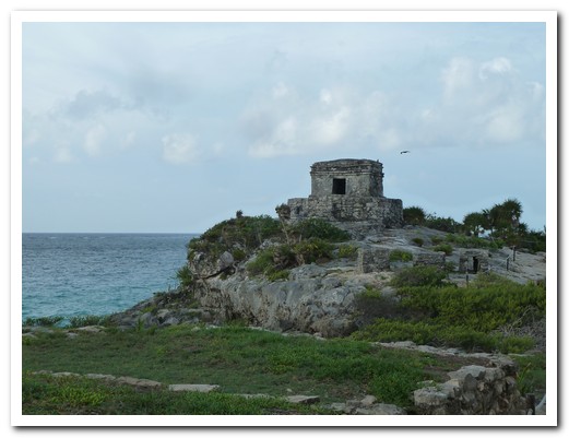
Tulum was a major Maya port - large boats ventured as far south as Honduras

Tulum Temple - the crooked angles are deliberate, not the result of 2000 years weathering
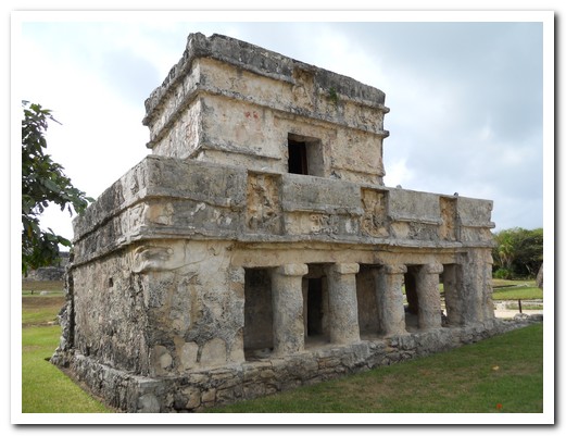
There are still mosaics on the inside walls

Pretty black and blue bird at the site
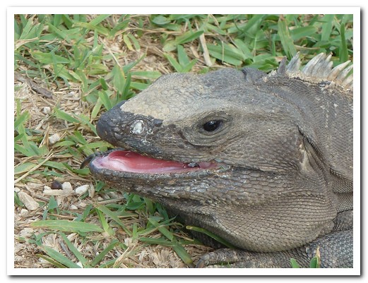
Iguanas are all over the Tulum ruins
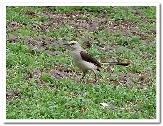
A little bird
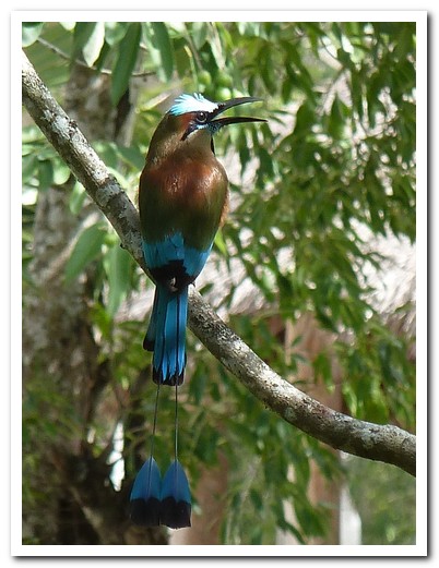
Long tailed bird
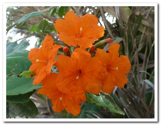
Orange flowers
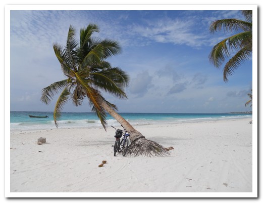
We rode bikes to the beach
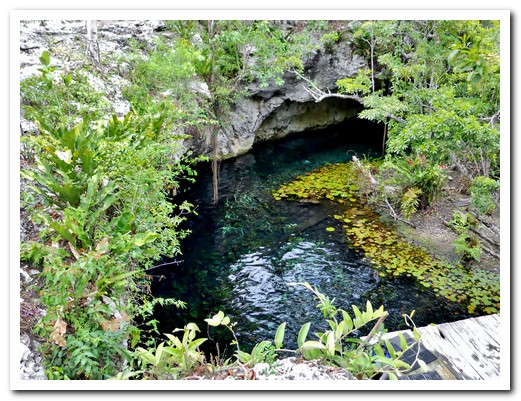
Cenote Grande
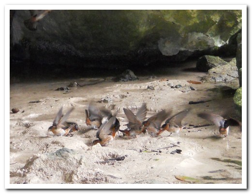
Little birds eating limestone in the cenote

The water is so clear ...

... you can see the stalactites under the water
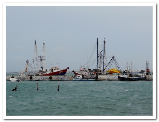
Fishing boats at Cancún

Margaritas on the beach at Isla Mujeres
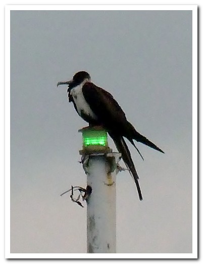
Frigate bird likes this light pole
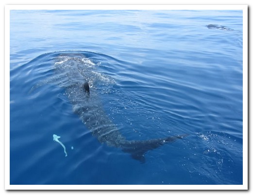
The Whale Sharks are bigger than the boat
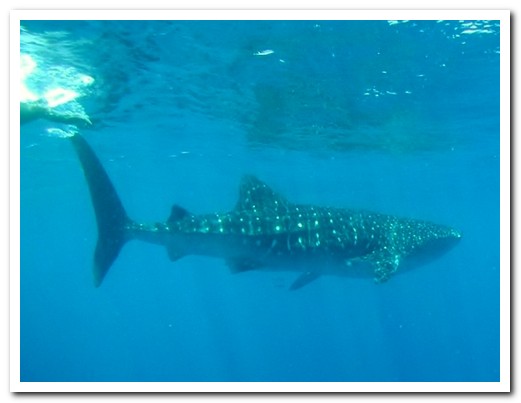
Someone´s photo underwater

Post swim ceviche - just what we needed after throwing up
Valladolid
24th June 2011
Unpretentious, colonial Valladolid [5], was established in 1543 by the Spanish who built on top of a Mayan settlement. Pastel coloured buildings line wide streets, and the huge, shady square is always full of locals. It made a good base to see the nearby attractions. Valladolid is well known for its cuisine; we liked the Queso Relleno Estilo Valladolid, stuffed cheese with turkey, pork, Dutch cheese, olives, capers, almonds, raisins, and spices.
.
The closest Maya ruins are at Ek Balam, Mayan for “Black Jaguar”, dating from 300 BC. Unusually, the central religious area where the elite resided was surrounded by a double set of walls. The Mayans buried the Acropolis (160 metres by 70 metres at the base and 31 metres high), preserving the stucco sculptures and many painted hieroglyphic inscriptions. We arrived at the opening time of 0800 and had the entire place to ourselves.
.
The most famous of the Maya ruins in the Yucatan Peninsula is Chichén Itzá, listed in the New Seven Wonders of the World. Occupied until the 800´s when it was abandoned, it was re settled 100 years later by the warlike Toltecs. Thus a mixture of styles is evident. It is the best preserved and restored of all the Mayan sites and most impressive.
.
On the way back to Valladolid we stopped at Cenote Xkekén, a large underground cavern with a hole in the ceiling, for a refreshing swim in its cool clear waters. Then a taxi took us to the town of Uyama with its beautiful red, white and blue church built in 1642 from the stones of Mayan pyramids.
.
Two buses north brought us to Rio Largartos (Lizard River) [6] a small fishing village nestled in the mangroves near the coast. There are colonies of flame red flamingos and 387 other bird species have been sighted nearby. We went by boat to see the flamingos and weren´t disappointed; there were hundreds feeding in flocks. On the way we spotted a couple of crocs, eagles, herons and dozens of other birds.
.
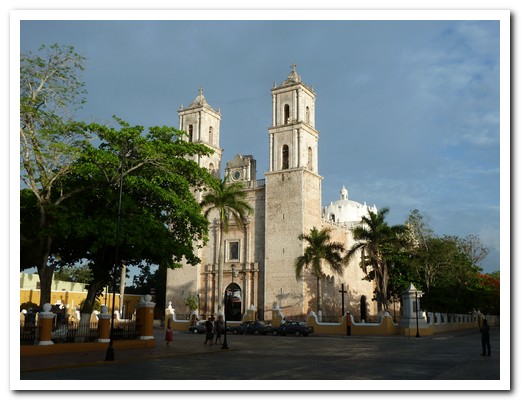
The Cathedral, built 1706 to replace the 16 th century one, on the main plaza at Valladolid
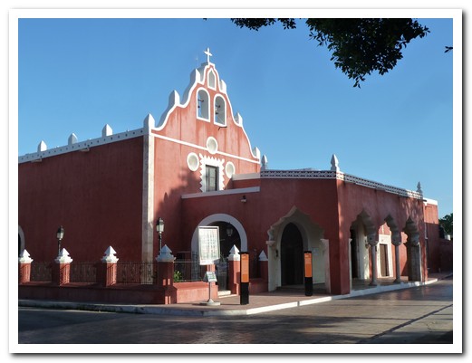
Note the mudejár style (Spanish Muslim) on this church

Calle de Los Frailes (Street of the Friars) led monks from the city centre to their Monastery
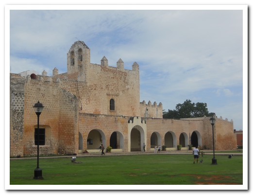
450 year old Monastery ...
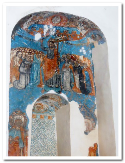
... still contains some original frescos
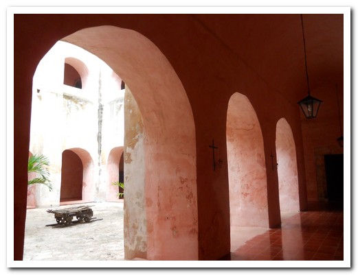
Inside the Monastery
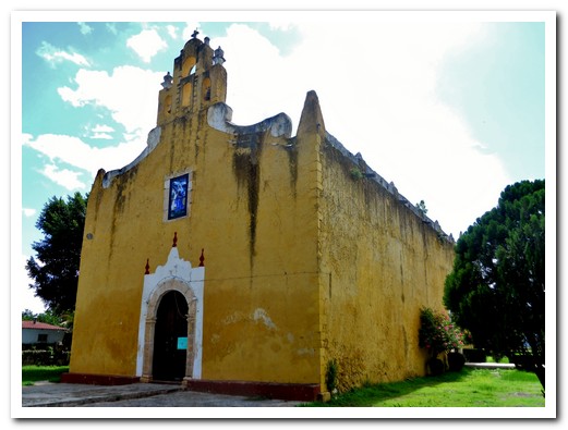
This 16th century church was for the Indians, all services in the Mayan language
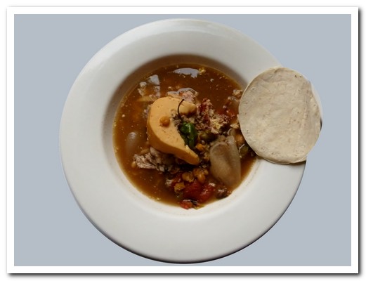
Valladolid stuffed cheese, with turkey, pork, olives, dried fruits and spices

Again the mudejár influence on this church´s bell tower
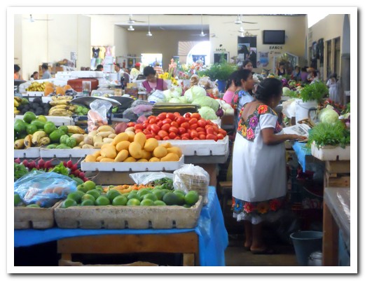
The Valladolid market

Typical women´s dresses
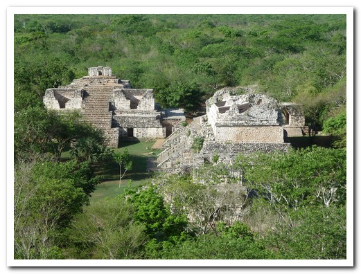
Part of the ruins of Ek Balam

More Ek Balam ruins

Carved figure on the Acropolis
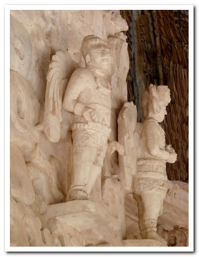
Mayan Angles (?)
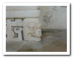

| Details of head masks at Ek-Balam |

Mayan lady sleeping on the bus
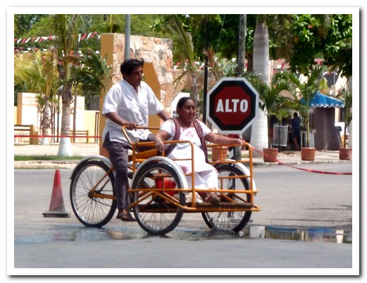
Bici taxi
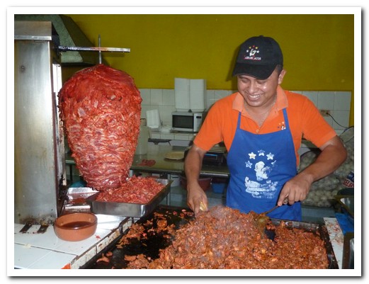
Take slow cooked pork ...
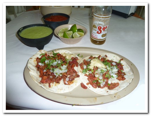
... put it on a taco with pineapple, and you have taco al pastor
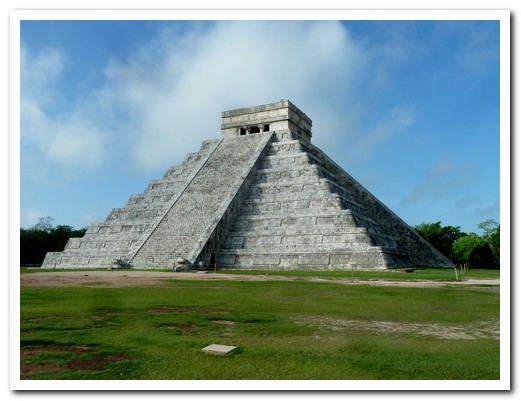
Central pyramid of Chichén Itzá
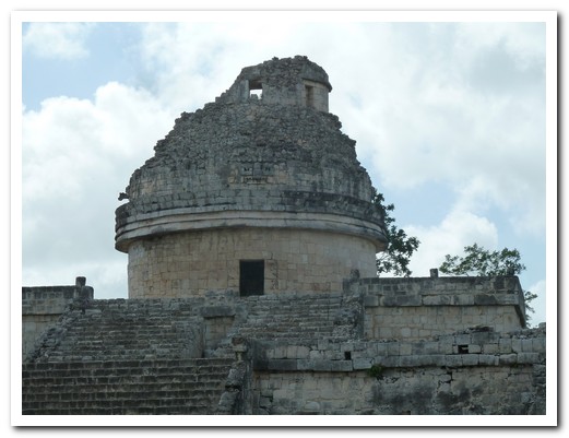
The Observatory - windows line up with certain stars
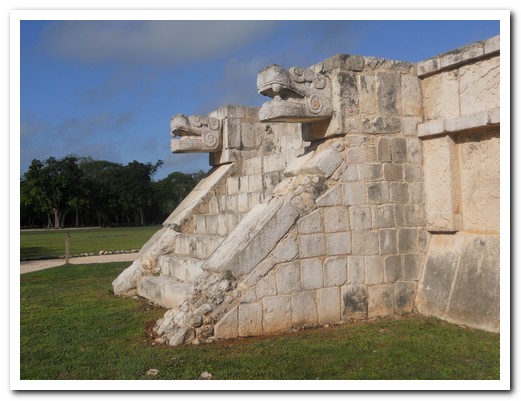
Platform of the Eagles and Jaguars (Maya/Tolmec)
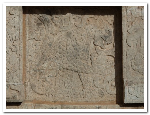
Jaguar eating a human heart
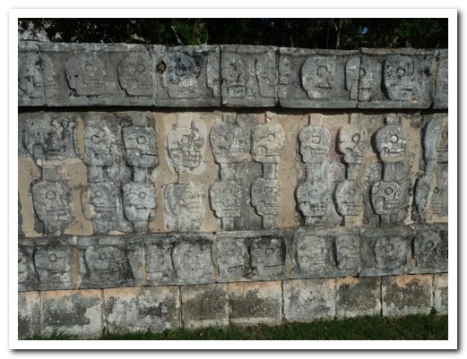
Platforms of skulls had real human skulls of the sacrificed on the platform

Plaza of the thousand columns
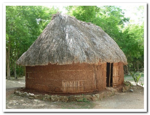
Mayan hut
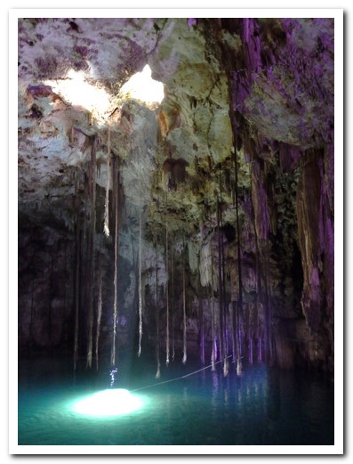
Cenote Xkekén - tree roots seeking the water

Pam cooling off in the cenote

The 1642 Iglesia Santo Domingo at Uyama, made from stones from Mayan pyramids
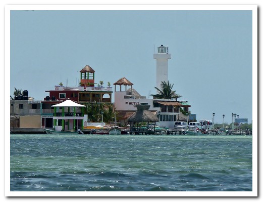
Rio Largatos
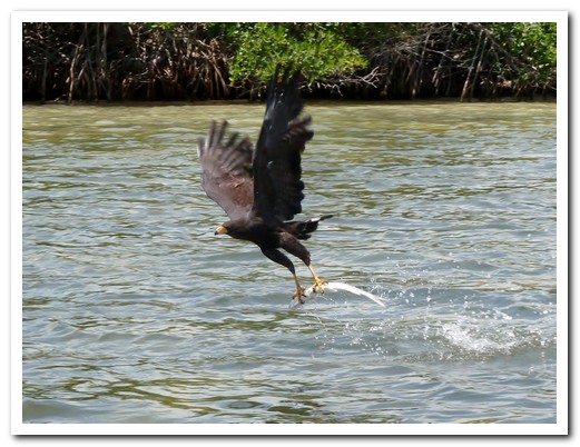
Black Hawk catching a fish
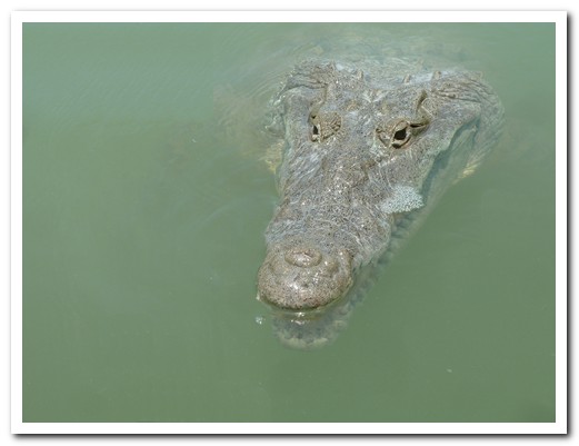
A crocodile came right up to our boat
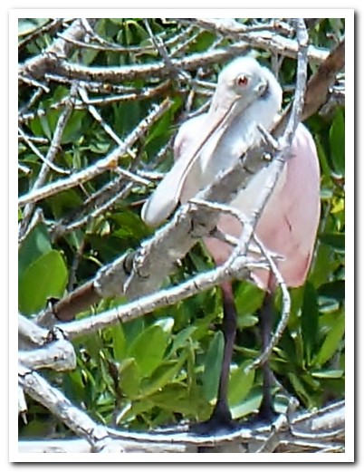
Spoonbill
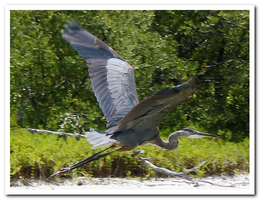
Grey Heron in flight
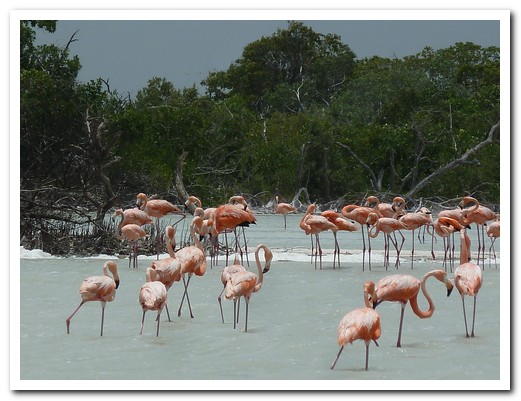
Flamingos feeding
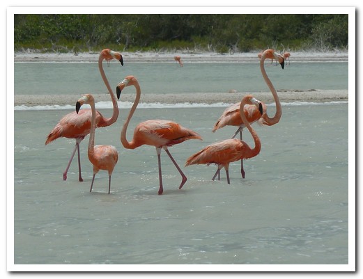
Flamingos
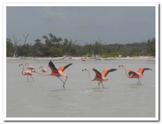
Taking off
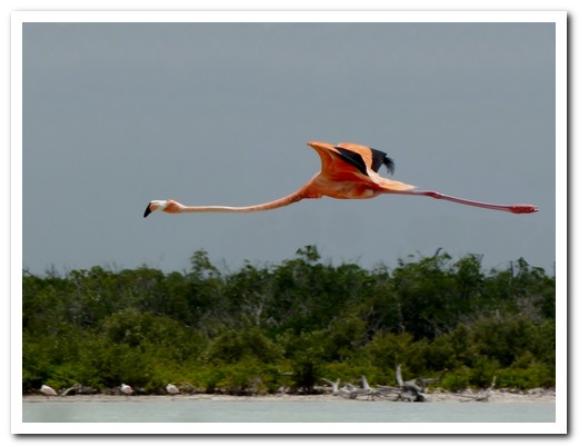
Airborne
Mérida
29th June 2011
In the quaint colonial town of Izamal [7], one of México´s Pueblos Mágicos, all the central buildings are painted in egg yolk yellow. Towering above everything else is the Franciscan church and convent, built on top and out of a Mayan pyramid. The Spanish monk Fray Diego de Landa who founded the Monastery later burnt all the Maya writings – lost forever (only 4 books remain). There are various Maya pyramids scattered about town, even the remains of one in our hotel´s garden.
.
When Francisco de Montejo and his Conquistadores arrived at the Maya city of T’ho in 1542, the white limestone covered buildings reminded them of the Roman city of Mérida [8] back in Spain. They renamed the oldest continually occupied city in the Americas and then proceeded to dismantle it, using the stone for the construction of churches and public buildings. We got there on a wet and windy day. Thoroughly soaked, we set out to explore the colonial architecture. The rain had eased the next day as we bussed and hour and a half out to Uxmal, one of the best restored Mayan sites with magnificent examples of Puuc construction – buildings beautifully decorated with carefully cut stones, often featuring the God of Rain, Chac.
.
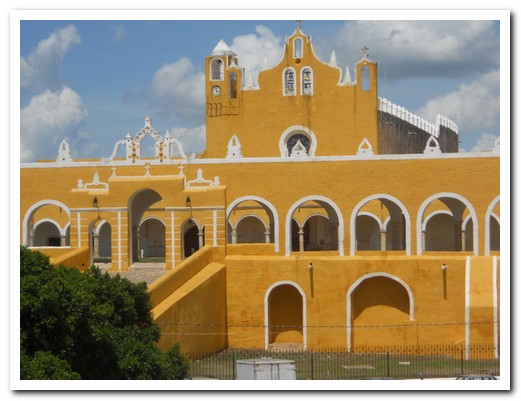
The view from our hotel balcony - the Monastery in Izamal, the largest in the Americas
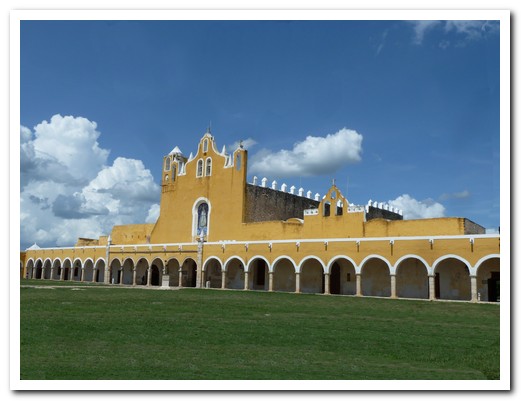
The largest courtyard outside of St Peters (Rome)
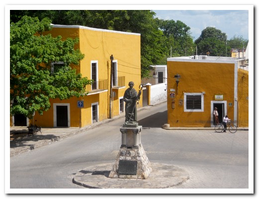
Fray Diego de Landa, builder of the Monastery, burner of the Mayan books, Bishop of Yucatán
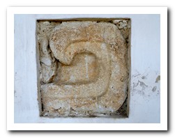 |
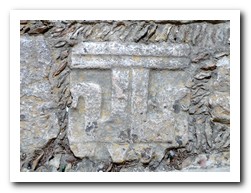 |
| Two of the stones taken from a Mayan temple used in the Monastery |
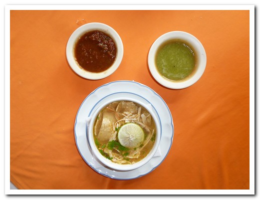
Sopa de Lima - broth of limes, shredded turkey & tortillas (add tomato or chilli sauce)
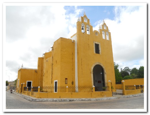
A 16 th century church in the typical very plain Franciscan style
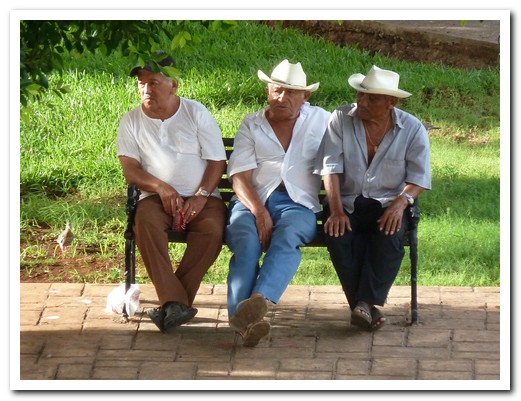
3 amigos in the Plaza

Mérida Cathedral
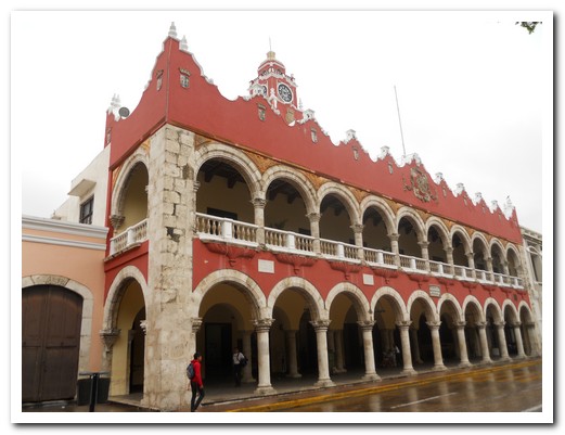
City Hall
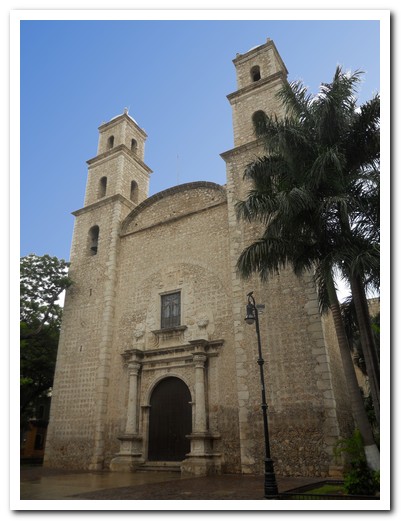
Jesuit Church, once occupied the whole block
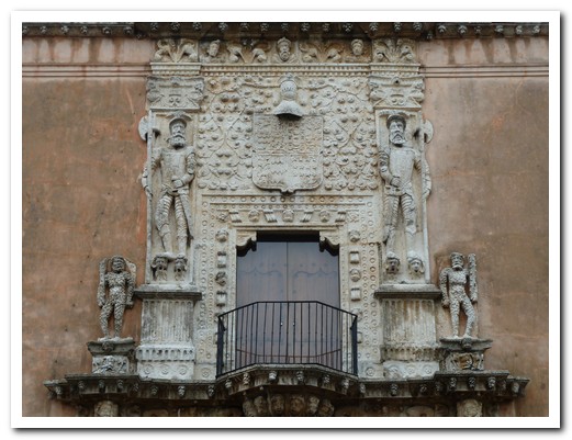
Casa de Montejo (Montejo´s House) shows Conquistadores standing on Indian´s heads

Part of the same doorway

One of the 19 th century mansions

Uxmal site
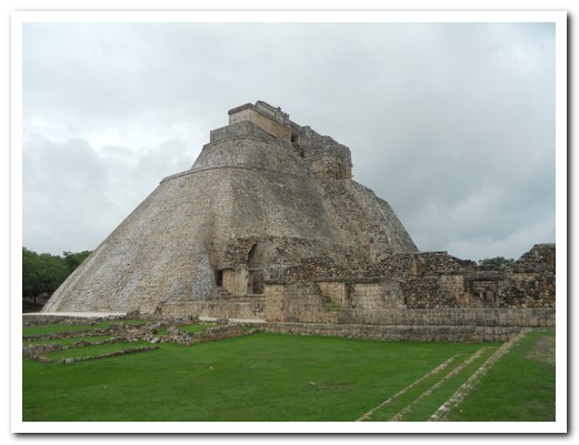
Pyramid at Uxmal

Part of the pyramid stairway

Ball court with stone hoop still intact

The longest Mayan structure, called Governor´s Palace by the Spanish
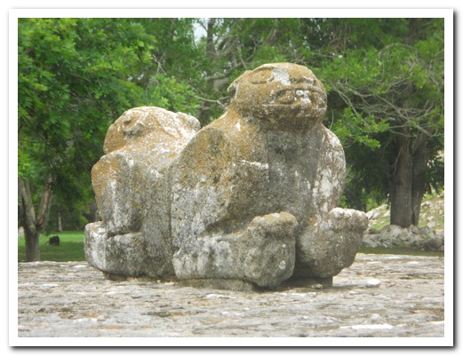
Throne

Detail of carvings
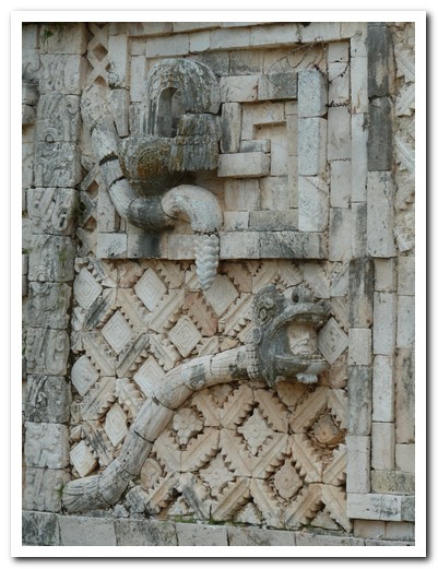
Snake - note human head in its mouth
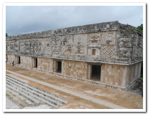
Structure
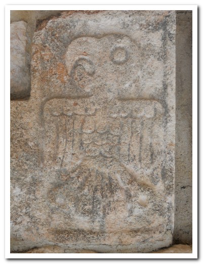
Eagle
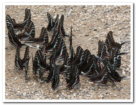
Butterflies feeding
Campeche to Palenque
06th July 2011
Inside the old city walls of Campeche [9] are neat rows of pastel coloured historical buildings and handsome colonial churches. Over 1000 colonial buildings have been restored. The city was once the Maya settlement of Can Pech before the arrival of the Spanish in 1540. The main square comes alive in the evenings with the cathedral all lit up and bands play while people stroll.
.
The richness and variety of the food amazes us, nothing like the Mexican food we know. The specialty here is Pan de Cazón, grilled shredded baby shark on tortillas covered in a tomato sauce. We opted for Pollo Pibil instead, chicken marinated in tomato, sour oranges and spices and cooked in banana leaves. A special seed, annotte, is used to give it the rich brick colour. For lunch we tried Papadzueles, hard-boiled egg filled tortillas covered in a sauce made from summer squash seeds.
.
We followed the Gulf of Mexico south and then turned inland passing extensive wetlands to reach Villahermosa [10] where relics from the Olmec archaeological site of La Venta are displayed in an outstanding jungle setting. La Venta is 100 kilometres from Villahermosa, but the artefacts were moved here in the 1950´s for preservation. The Olmec civilization, the earliest in Mexico, thrived between 800 BC and 400 BC and left behind colossal carved stone heads displaying African characteristics.
.
Next stop was Palenque [11], located in the north western Maya lowlands, one of the most important archaeological sites in Mesoamerica. From about 100 BC it grew steadily until by 750 AD it had great splendour, some of the most outstanding Mayan buildings and a population of about 8000. The city was abandoned 150 years later (click here for the Maya Exploration Center). We stayed in the nearby town where we liked the Sopa Azteca (soup with a tomato base, smoky chillies, avocado, grilled tortillas and cheese) so much that we had it three times!
.
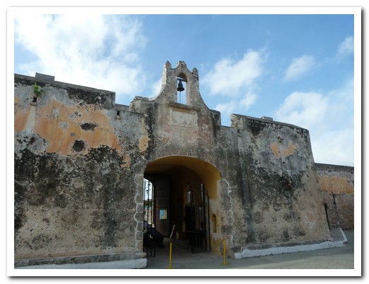
Part of the Campeche city walls
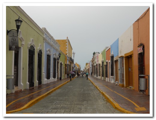
The colourful streets of Campeche
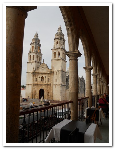
Campeche Cathedral from the Casa Vieja restaurant
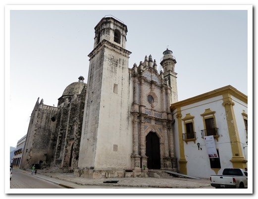
Built by the Jesuits in 1770 - Ex-Templo San José with lighthouse tower
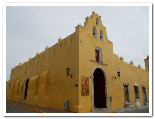
Iglesia San Francisquito
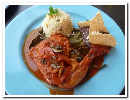
Chicken Pibil
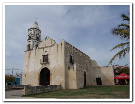
Iglesia San Rámon
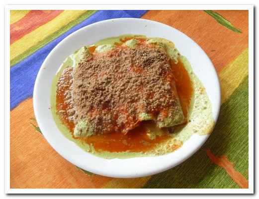
Papadzules - tortillas stuffed with egg and covered with a squash seed sauce
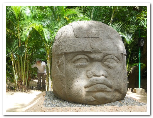
Colossal Olmec head, carved between 700 and 400 bc
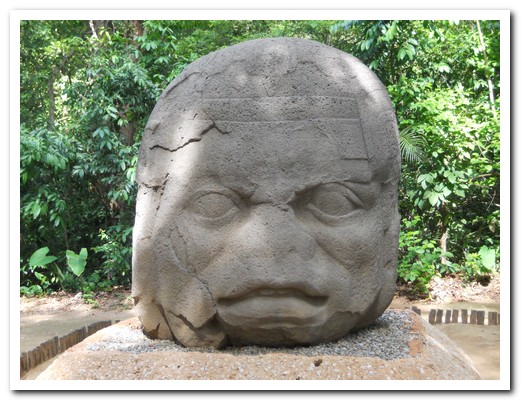
Another huge head, showing teeth
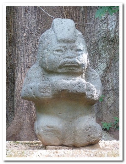
Kneeling figure of a woman holding a plate for an offering
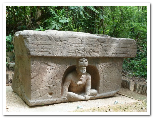
Altar with a figure emerging from the underworld
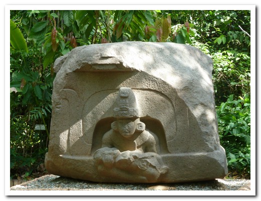
Altar with a figure carrying a child coming out of the underworld
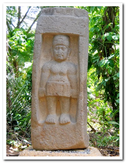
A young goddess - the Olmecs rarely carved women figures
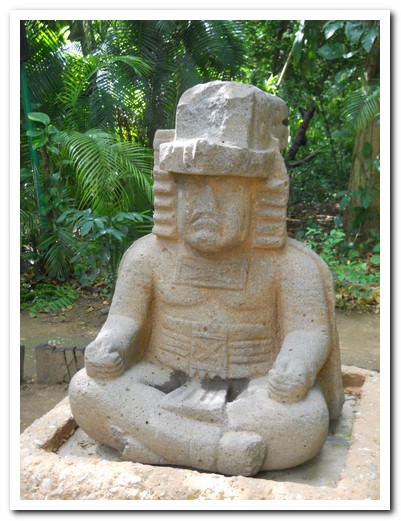
Depiction of a highly important person - called The Governor
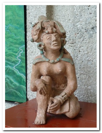
Beautiful ceramic figure in the museum
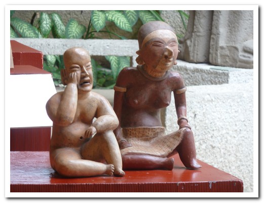
Two ceramic figures
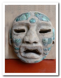 |
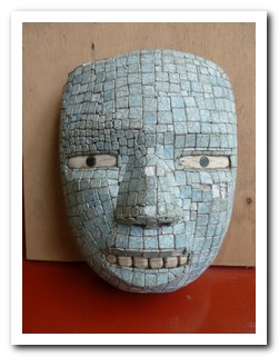 |
| Two jade funeral masks in the Olmec Museum |
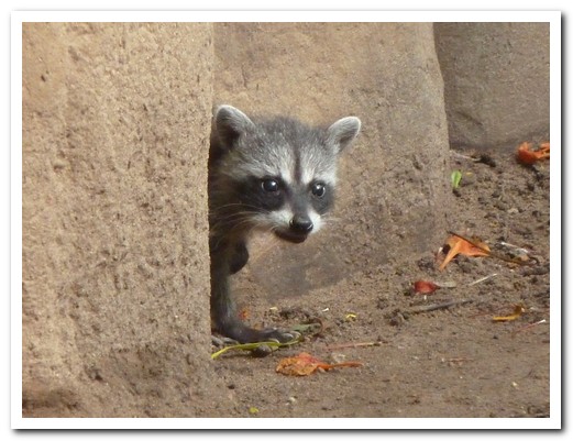
A coati hiding behind basalt columns
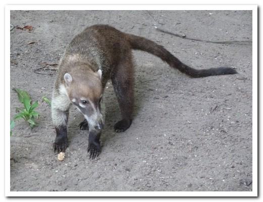
Badgers were everywhere in the jungle around the statues
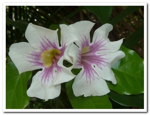
Flowers
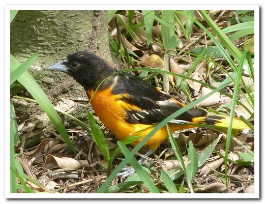
Little bird
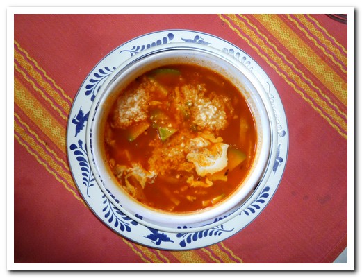
Sopa Azteca, made with tomato, chilly, avocado, tortillas and cheese
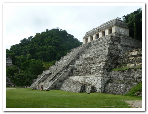
Palenque - the Temple of Inscriptions
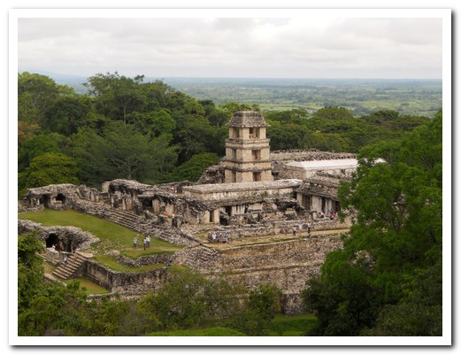
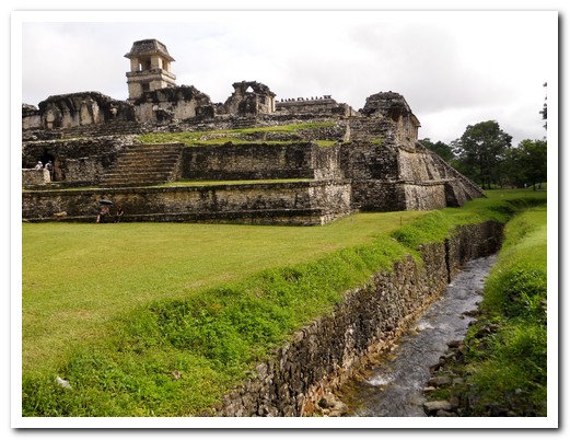
The Palace
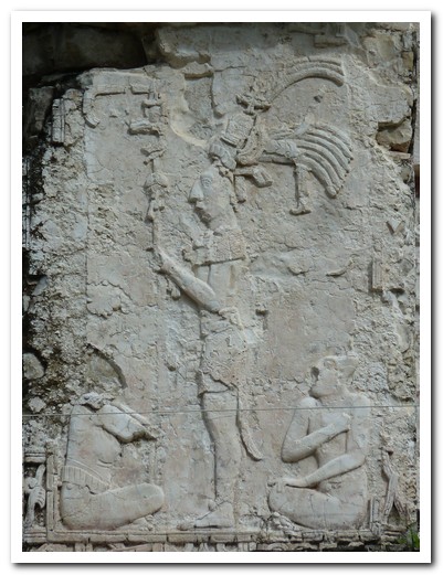
Stucco carving on the Palace
Carving on the Palace
85 inches of rain a year here - the aqueduct took water under the plaza
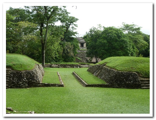
Ball court
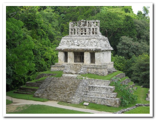
Temple of the Sun with the best preserved roof comb
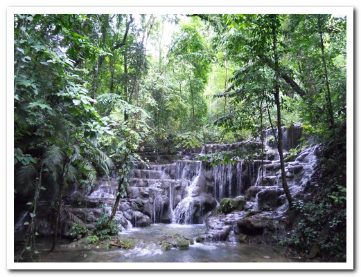
Waterfall in the grounds
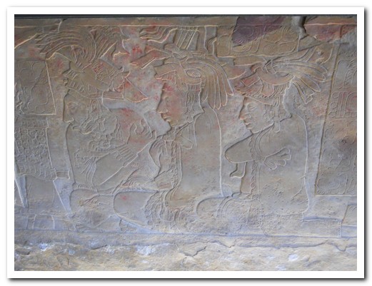
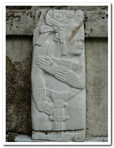
Panel in the Museum
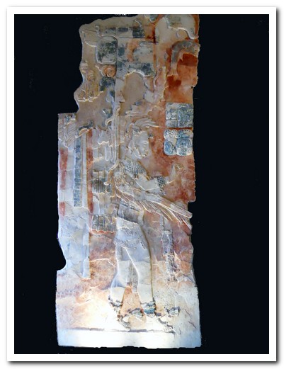
Carving with traces of colour
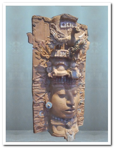
Clay incense burner
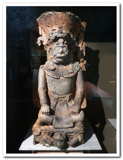
Clay figure
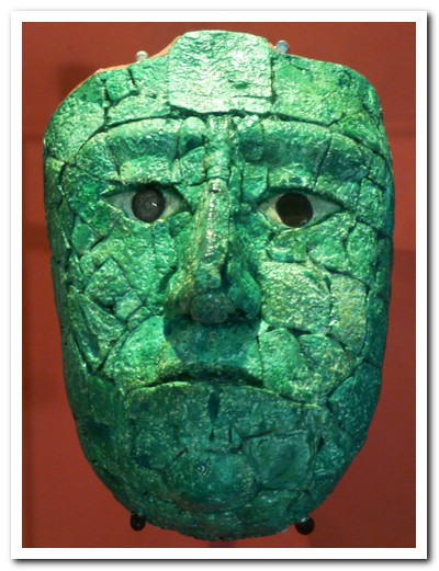
Jade funeral mask
 |
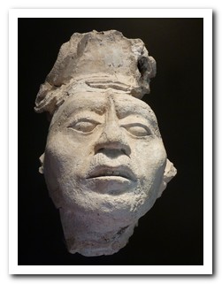 |
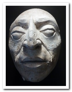
| Heads realistically depict important people |
San Cristóbal de Las Casas
13th July 2011
It´s 165 kilometres from Palenque [11] to San Cristóbal de las Casas [12], but the bus takes over 5 hours as it winds through the jungle climbing 2000 meters on the way.
.
Founded by the Spanish in 1528 in the cool south eastern highlands of México and surrounded by hills covered with pine forests, San Cristóbal is one of our favourite colonial towns. Having an apartment in La Casa Morada for a week, we wasted no time going to the colourful, bustling indigenous market to pick up fresh veggies for dinner. Mayan women from outlying villages in eye-catching traditional dress sell produce and crafts. In the Museum of Amber we saw beautiful pieces of the fossilized pine resin, some embedded with insects millions of years ago. Our second favourite bar in the world is La Viña de Bacco where we tasted some excellent Mexican wines with great tapas.
.
The best way to appreciate the stunning Sumidero Canyon to the west of San Cristobal is by boat. The sheer walls disappear up into the clouds and 250 metres below the water. On the return trip we stopped in Chiapa de Corzo to see the huge cathedral and a brick fountain built by the Spanish, completed in 1562 in the Mudeja Gothic style to resemble a Spanish crown.
.
The village of San Juan Chamula, 10 kilometres away, holds a large market in front of the pretty white church with blue and green Maya motifs (Templo de San Juan) on Sundays. Inside is like no other catholic church. It is the strangest place. There are no pews, the floor is covered in pine needles and burning candles; the air thick with incense. Here Maya customs mix with catholic beliefs. We witnessed a mass baptism by the visiting Catholic priest while at the same time dozens of traditional healers were attending to their clients, rubbing them with candles which were then lit, or sacrificing chickens. Meanwhile others were praying to their saints whose statues line the walls. Yet others played a flute to call up the spirits of their birth animals (Jeff´s is the Falcon, Pam´s is the Bat). The statue of Christ takes second place to that of John the Baptist. The people of this village believe only in baptism -no confirmation, no confession, no communion, no marriage (they are polygamous). Pictures are not allowed in the church and rightfully so.
.
A smaller market is held in San Lorenzo Zinacantán, a village of flower growers. Here is a “normal” Catholic church – what a contrast! We visited both villages with Raul, an outstanding local guide, (Alex y Raul Tours) who took us to a village house where we ate tortillas fresh from the hot comal and watched a woman weave on a backstrap loom. A few days later we visited 3 more interesting Mayan villages with Raul. In Aguacatenango there is a church built by and for the indigenous, simple in style still beautiful centuries later. Amatenango is the centre for pottery – all hand built by women and fired in an open wood fire. We just had to by a few small pieces. On the way back to San Cristóbal we stopped at the cemetery of Romerillo. Here huge crosses dominate the skyline. Each grave has boards resting on top, representing a door to the heavens. It was another great day for us.
.
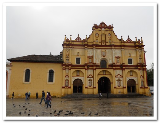
The Cathedral at San Cristóbal de Las Casas (1528 - 1815)

Women in traditional dress in the town
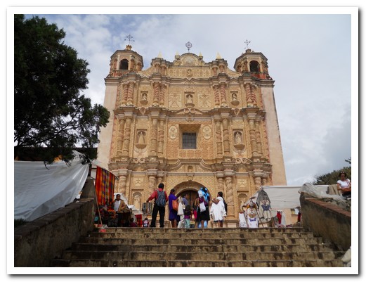
16th century Templo and ex-Convento de Santo Domingo
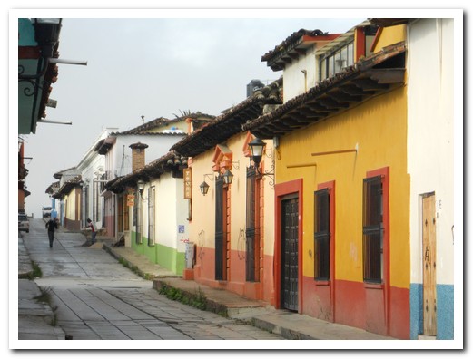
A street in San Cristóbal
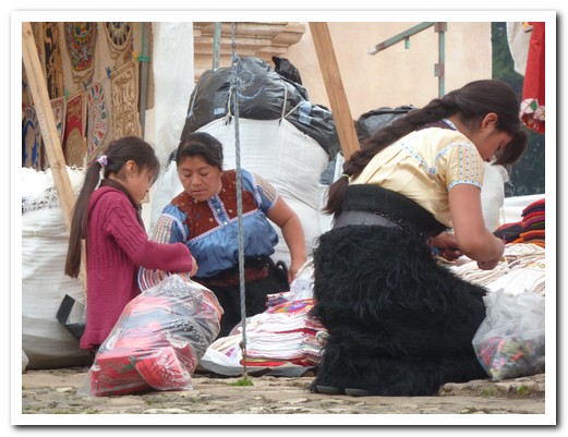
Setting up a market stall
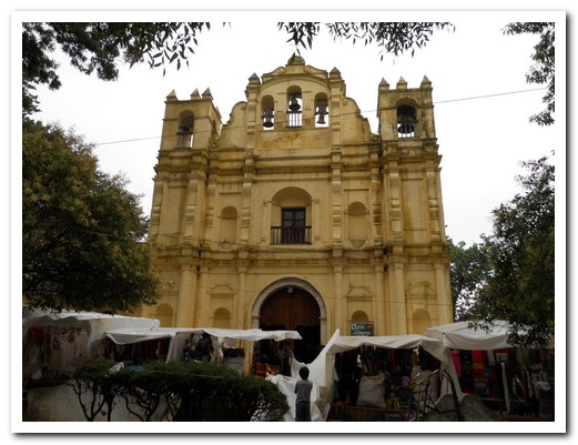
1712 Templo de la Caridad with market stalls in front
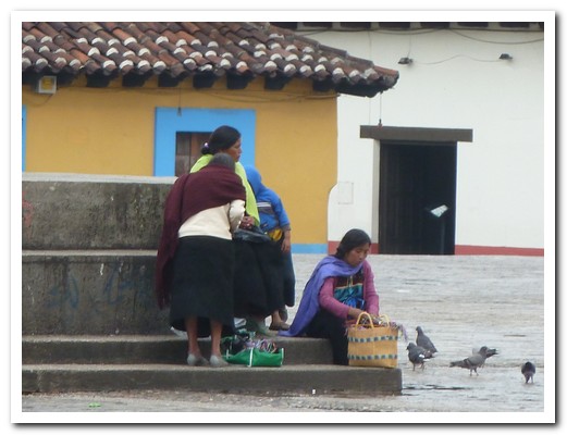
Ladies feeding pigeons in the central plaza
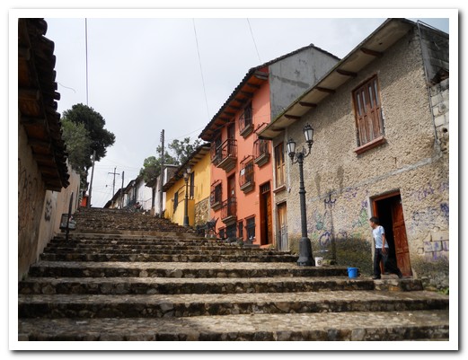
Street
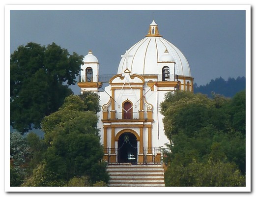
Iglesia de Guadalupe overlooks the town
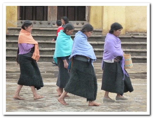
Village women in the plaza - note the furry skirts, hand loomed from sheep´s wool
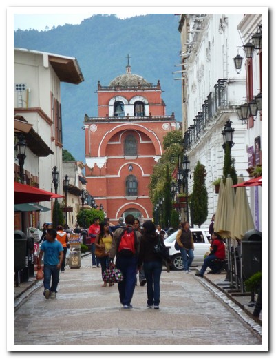
17th century city gateway Arco de El Carmen
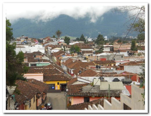
Terracotta roofs of San Cristóbal
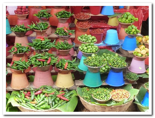
Chillies for sale at the market
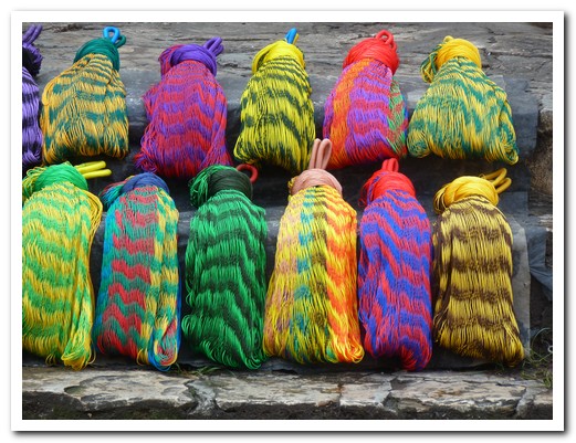
Colourful hammocks
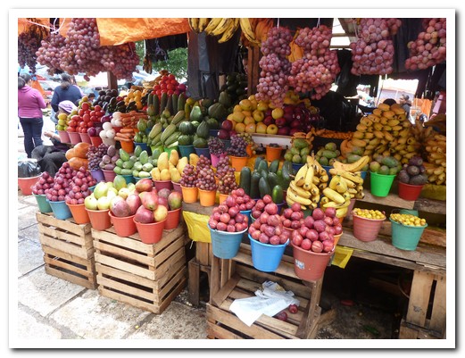
Fruit and veggies
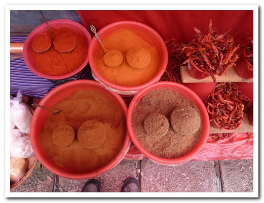
Spices
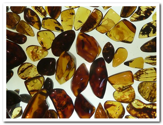
The different colours of amber sold all over town

Pam´s amber
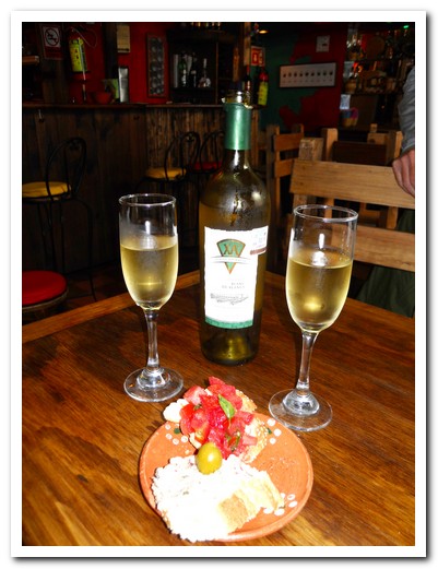
Our first Mexican wine - Domecq XA Blanc de Blancs, delicious
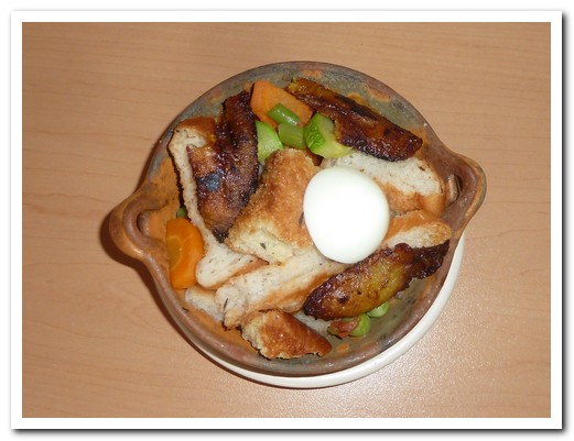
Sopa de Pan, local speciality, bread soaked in chicken stock with vegetables and banana
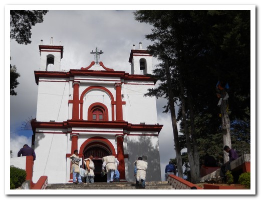
Iglesia San Cristóbal (patron Saint of travellers/drivers), high on a hill
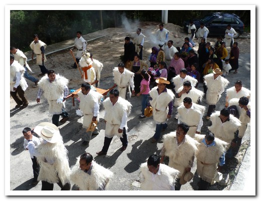
A procession of transport drivers taking the statue of San Cristóbal to Chamula
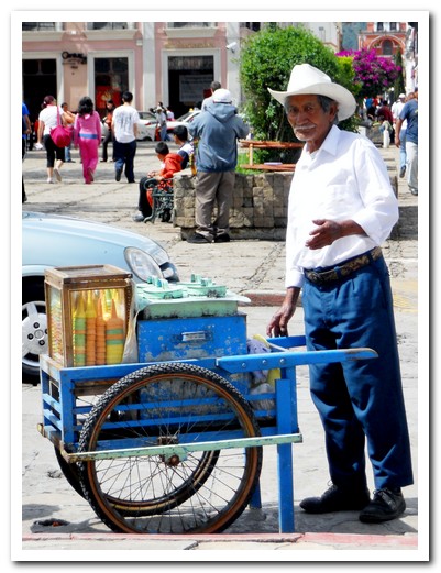
Ice-cream man in the plaza
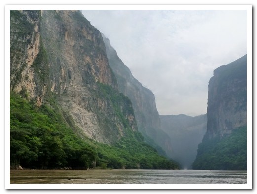
Sumidero Canyon
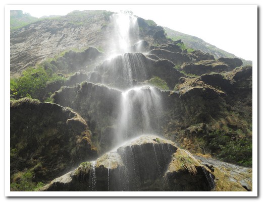
Waterfall in the Canyon
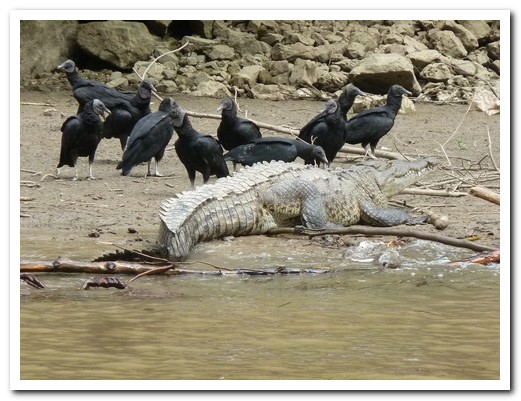
Vultures surround a crocodile
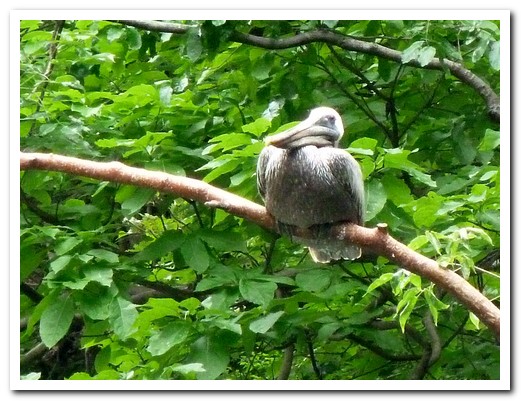
Pelican resting in a tree over the water
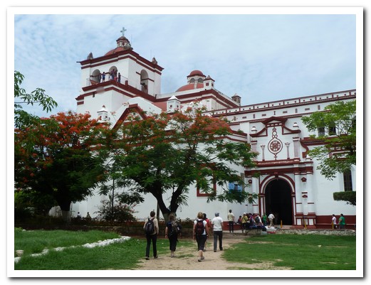
The Cathedral at Chiapa de Corzo - 16th century
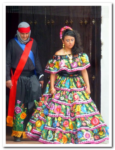
Traditional dress for fiestas
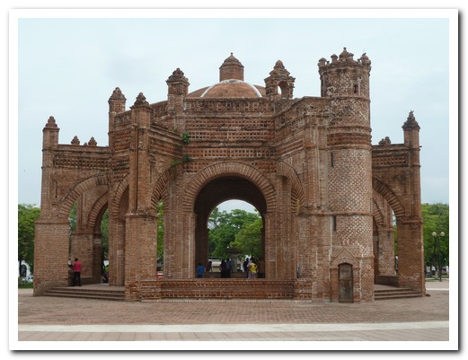
1562 fountain resembling a Spanish crown
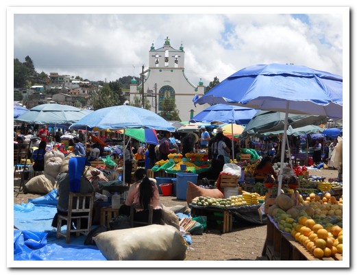
Sunday market outside the church at San Juan Chamula
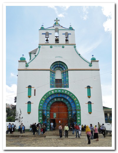
Templo de San Juan
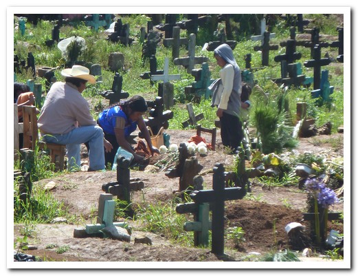
Family tending to a grave in the Mayan cemetery
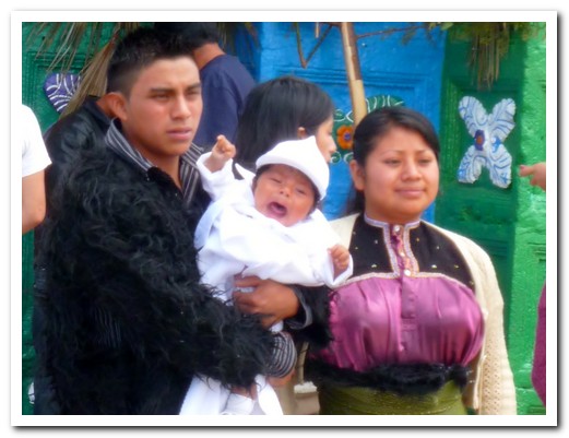
Newly baptised baby
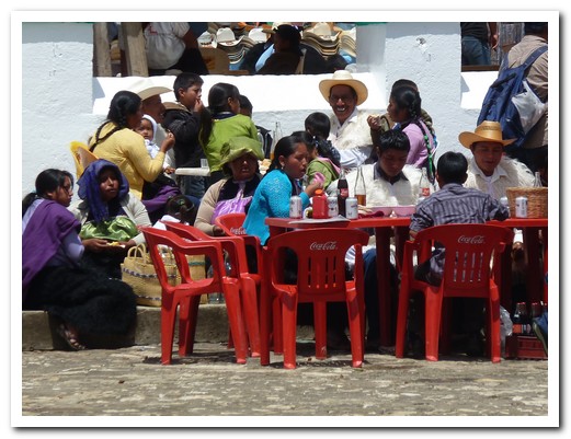
Families celebrate together after the baptism
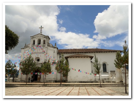
Iglesia de San Lorenzo
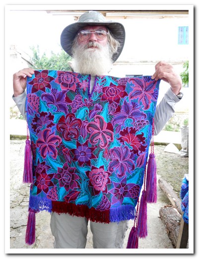
Mountain monkey tries a San Lorenzo Zinacantán men´s tunic
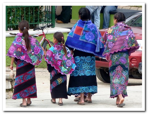
Women wear brightly embroidered skirts and shawls
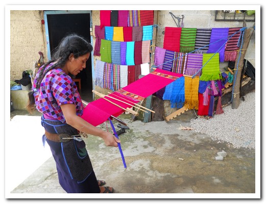
Backstrap weaving done by the village women
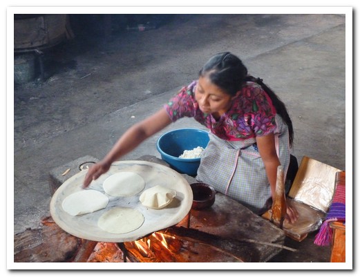
Fresh tortillas cooked on a comal over an open fire
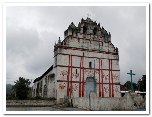
The indigenous church are Aguacatenango, walls 3 meters thick, interesting paintings

Lady hand making pottery at Amatenango
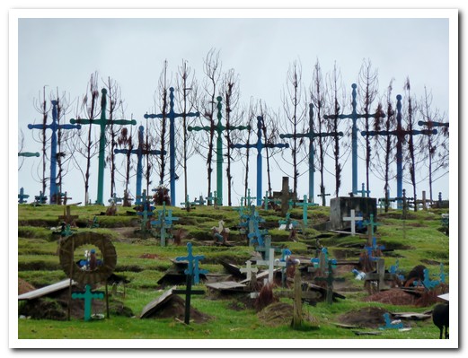
Maya cemetery at Romerillo, the boards on the graves are doors to the heavens
Around Oaxaca
20th July 2011
Three valleys radiating out from Oaxaca [13] are populated by small villages. The best time to visit is on market days when they come alive with bustle and colour.
.
To the south, San Bartolo Coyotepec is known for its shiny black burnished pottery, barro negro, the techniques developed by the late Doña Rosa many years ago. In Cuilapam, the stone ex Dominican monastery of Santiago Apostal dominates the skyline. The Dominicans were converting the indigenous in the area and did so quite quickly, but to reinforce the new faith they built a huge convent with murals depicting Christian beliefs with an indigenous influence. It became so expensive that it was never completed with construction halted in 1570.
.
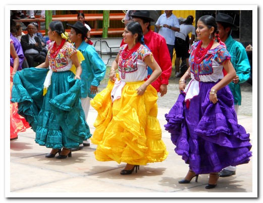
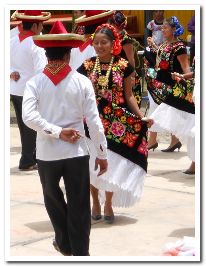
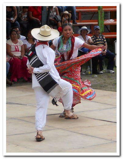
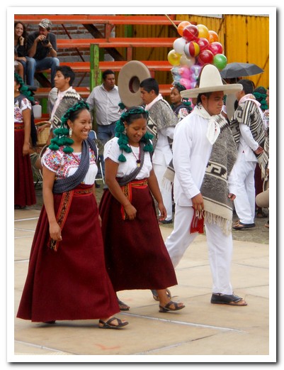
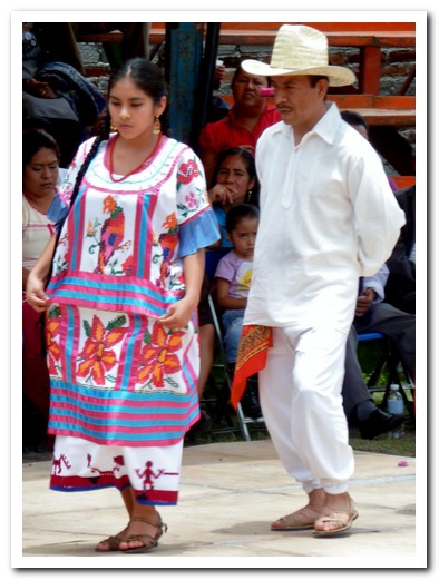
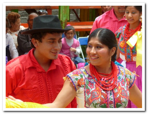
In the valley east of Oaxaca, the village of Tlacloula holds a large market on Sundays with vendors selling anything from tiny edible insects to yokes for oxen and anything in between. Further away in Mitla, the colonial church was built on the ruins of an ancient Zapotec ceremonial centre. Mitla is unique in the elaborate and intricate mosaic geometric designs that cover its walls. These mosaics are made with small, stone pieces which have been fitted together without the use of mortar. We arrived in town just as their Guelaguetza festivities of dance and music was about to begin. Invited in, we thoroughly enjoyed the show and the pueblo atmosphere helped along as Mezcal was handed out freely and the performers threw gifts to the crowd. There were 2 tourists (us). Teotitlán del Valle is a famous weaving village where brightly coloured blankets and rugs hang in the streets. Traditionally natural dyes such as cochineal and indigo are used.
.
On a hill (Monte Albán or White Mountain) to the south west of Oaxaca City are the ruins of an ancient Zapotec capital. Sitting on a ridge 400 meters above the valley floor, it was the most important Zapotec centre for over 1,000 years from 200 BC. The buildings were once covered in stucco and painted red.
.
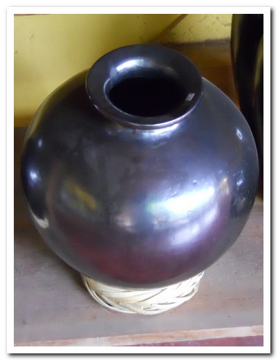
Black pottery from San Bartolo Coyotepec – the process developed by ...
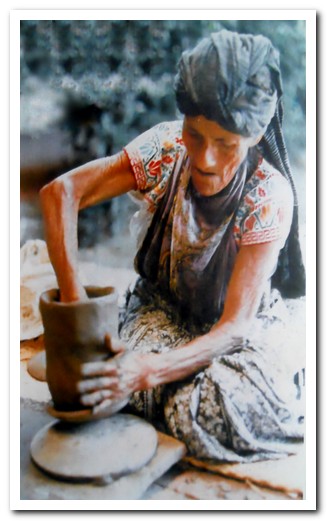
... Doña Rosa many years ago, made on 2 saucers
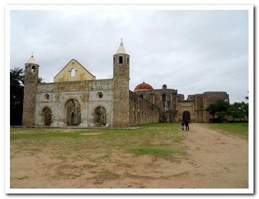
The Dominican Monastery (16th century ) in Cuilapam, was never completed
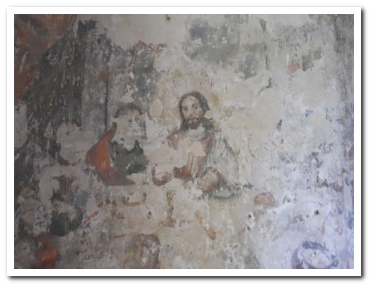
Mural inside the Monastery
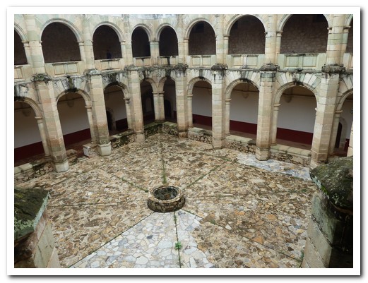
Monastery courtyard
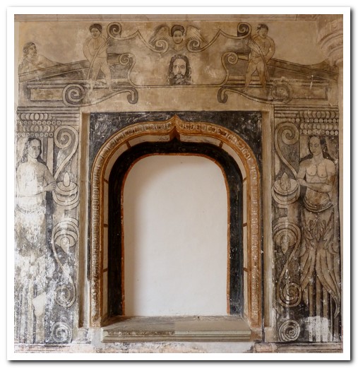
Indigenous depicted in a mural
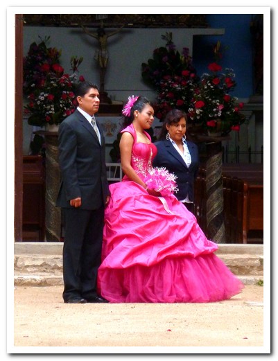
Quinceñera (15th birthday) is an important celebration
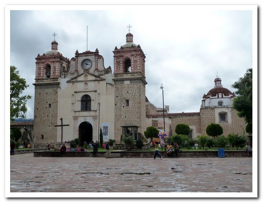
Tlacolula (to the east of Oaxaca) church
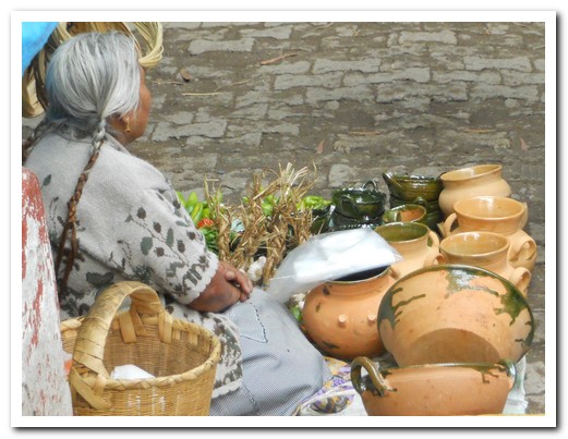
At Tlacolula Sunday market an old lady sells green pottery
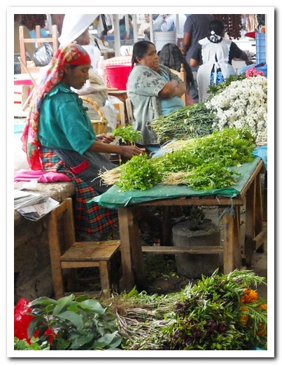
Some ladies wear pretty headscarves
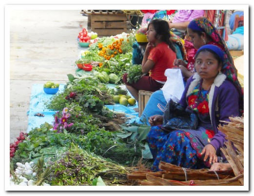
Girls sitting on the floor to sell their produce
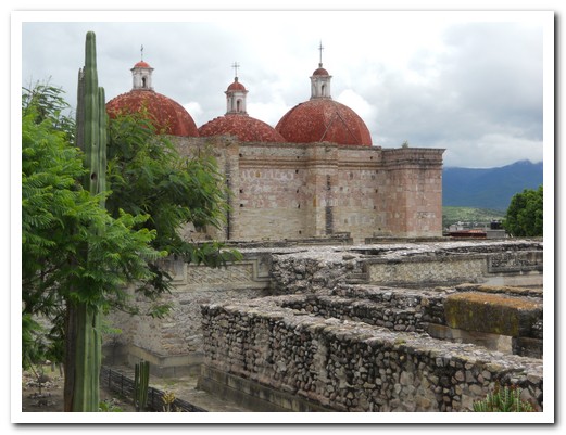
3 domed church at Mitla built over Zapotec ruins
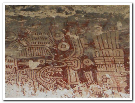
Traces of a fresco from the Zapotec times
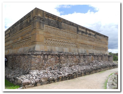
Part of the Zapotec city
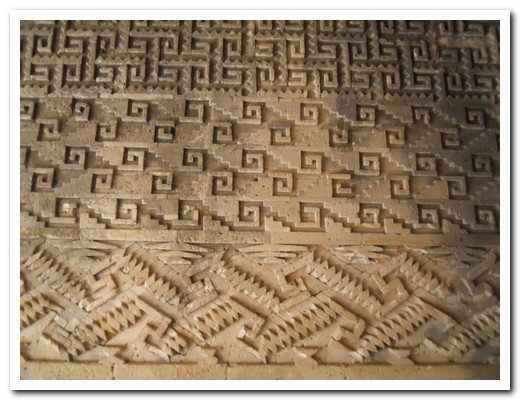
Mosaic patterns are all over the walls
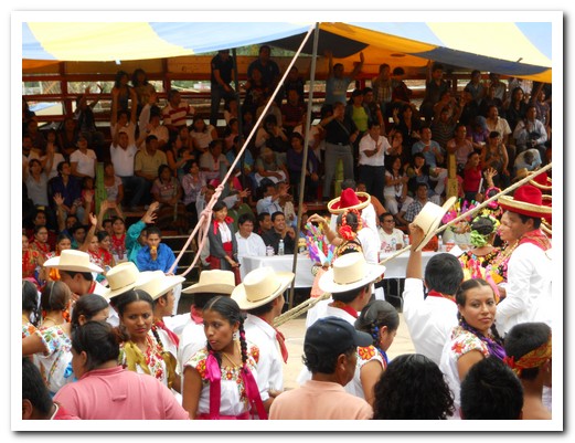
A happy crowd of people at the Guelaguetza in Mitla (festival of dance and music)
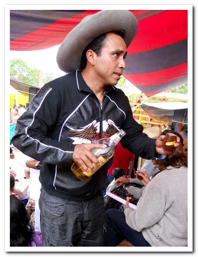
Helped along by a man handing out free Mezcal
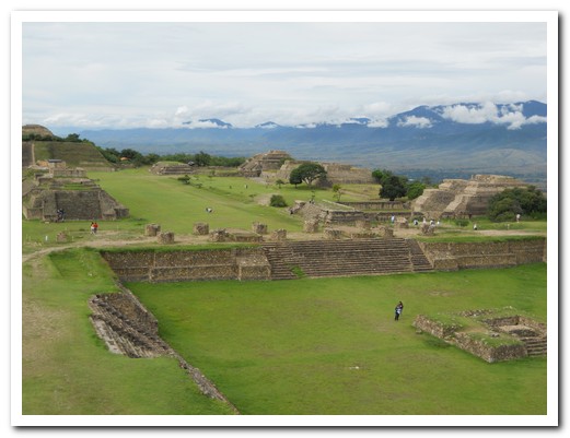
Ancient Zapotec site, Monte Albán
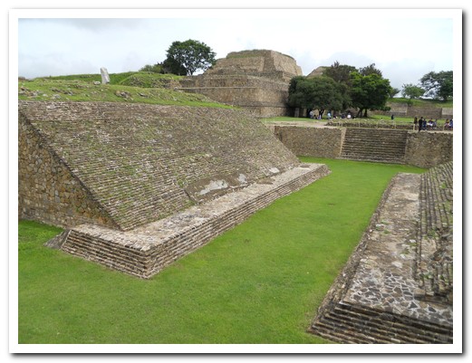
Ball court
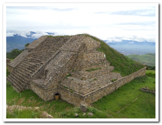
Pyramid
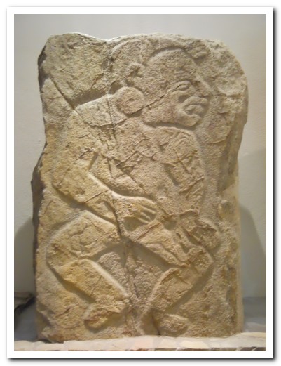
Carved stone panel shows a dancer
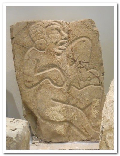
Another dancer
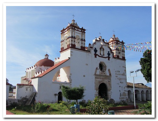
Village church at Teotitlán del Valle
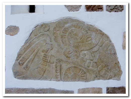
Pre-Hispanic temple stone used in the church
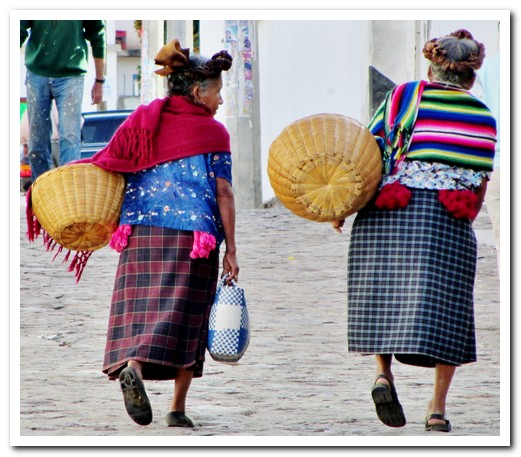
Two old ladies walking to market
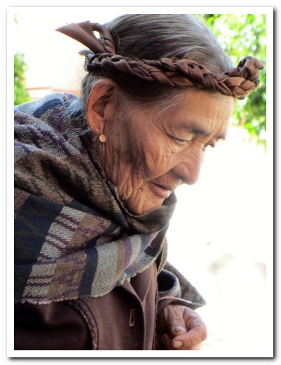
Ribbon braids wrapped around her head
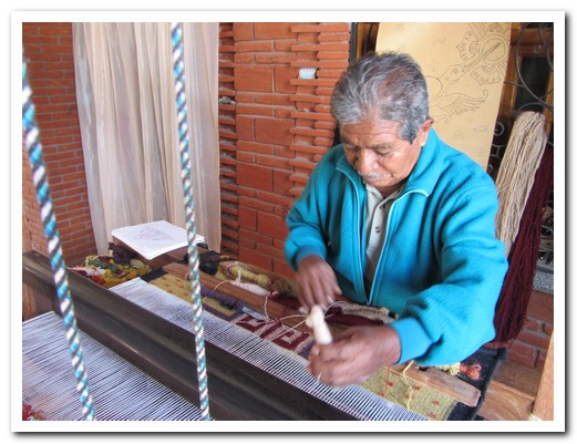
Isaac Vasquez demonstrating rug weaving
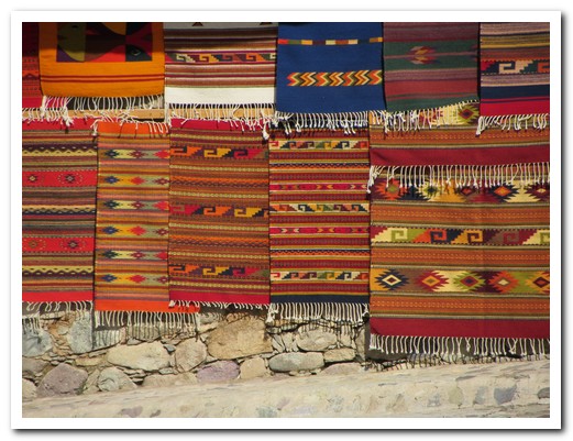
Lovely patterned wool rugs for sale in Teotitlán
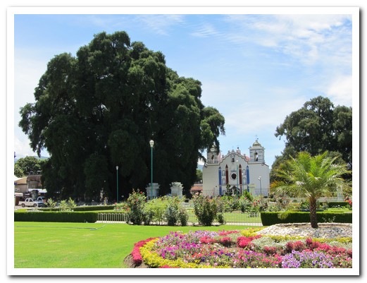
World´s biggest tree (2000 years old) dwarfs the church at El Tule
Hiking around the Pueblos Mancomunados
25th July 2011
8 Zapotec villages, called the Pueblos Mancomunados, lie between 2000 and 3000 meters in the Sierra Norte de Oaxaca (mountains to the north of Oaxaca). The villagers are known as “the cloud people”. They offer experienced local guides along the lovely trails connecting the pueblos. Guests stay in comfortable cabañas with fireplaces and meals are provided by the village women in a successful joint eco tourism venture. It is the best managed and coordinated tourism project we have seen anywhere.
.
Every little detail for us was organised by Expediciones Sierra Norte in Oaxaca beforehand, right down to what colour public bus to take to reach Cuajimoloyas [14] at 3200 metres to begin a 6 hour hike to Latuvi at 2400 metres. 1000 meters down, followed by 200 meters steeply up – our going down muscles and our going up muscles were sore for days!
.
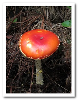
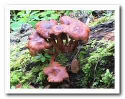
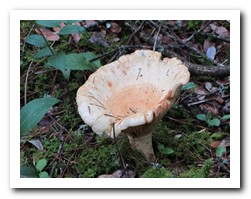
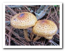
We walked on a path of soft pine needles in a forest of moss and lichen covered trees. Bromeliads clinging to the branches thrive in the humid air. Many types of wild mushrooms had sprung up in the undergrowth. Our guide picked 2 large bright red ones to take to Latuvi to be cooked for dinner. They were delicious with onion and forest herbs.
.
We spent the next 2 day´s walking to the villages of La Nevería at 2800 metres and Benito Juárez at 3000 metres. Each community was welcoming and friendly. The scenery changed daily. Near the pueblos corn grew up steep slopes and wildflowers in every colour grew on grassy hills. The weather though cold, stayed fine and we enjoyed a fire in our own little cabaña.
.
We walked back to Cuajimoloyas on day 4 along the most beautiful forest paths. On August 6 and 7 there is a wild mushroom fair which includes gathering and cooking mushrooms from the surrounding woods. We are sorry we are going to miss it.
.

A beautiful day to start hiking from Cuajimoloyas (3200 meters)
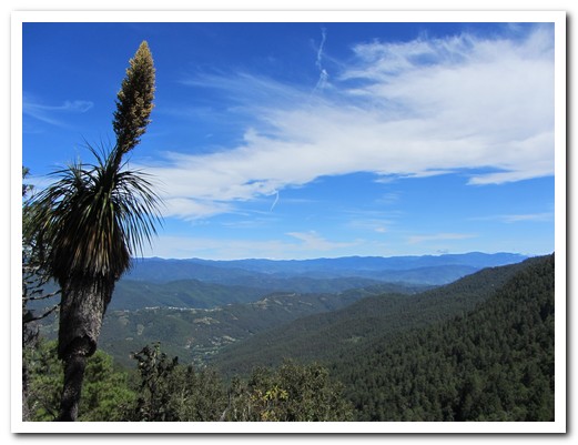
The lookout halfway to Latuvi
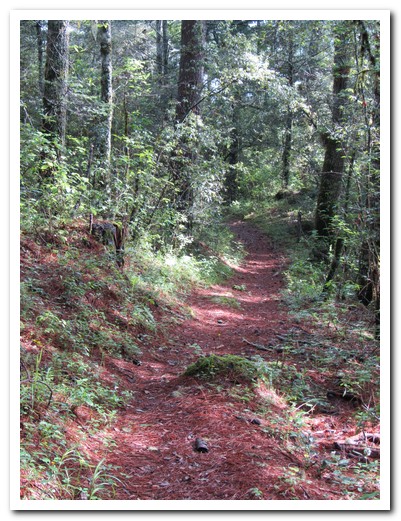
The path through the forest is ...

... waymarked (in places)

Goats on the road, tended by a man and a boy on bike
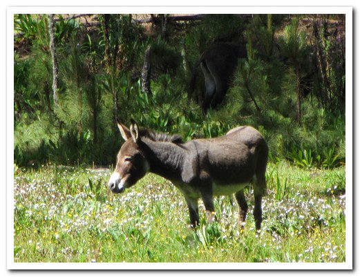
Donkey feeding on wildflowers
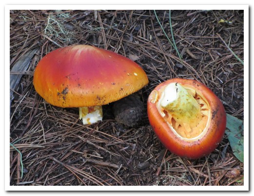
Hongos Rojos (wild red mushrooms) - cooked with onions and herbs, delicious
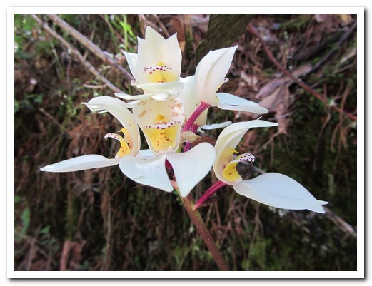
Azucenas (white lilies)
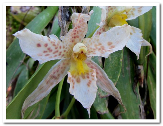
Orchid
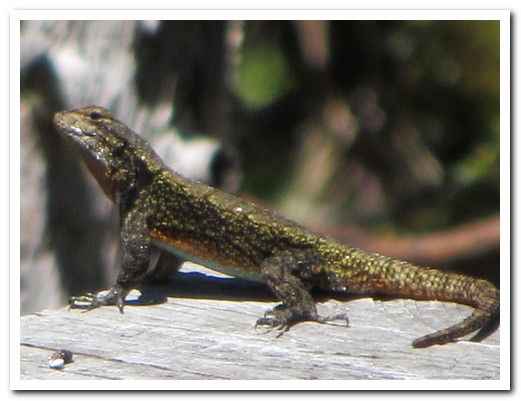
This lizard did 3 pushups every time he stopped
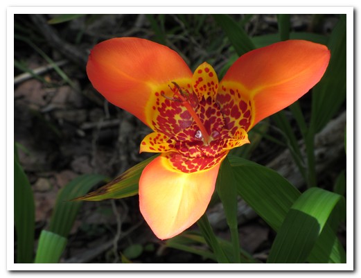
Mariposa flower only lasts a day
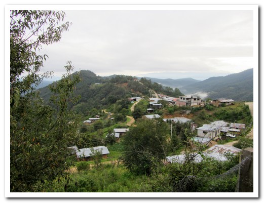
Village of Latuvi (2400 meters)
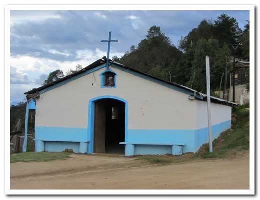
The small church at Latuvi
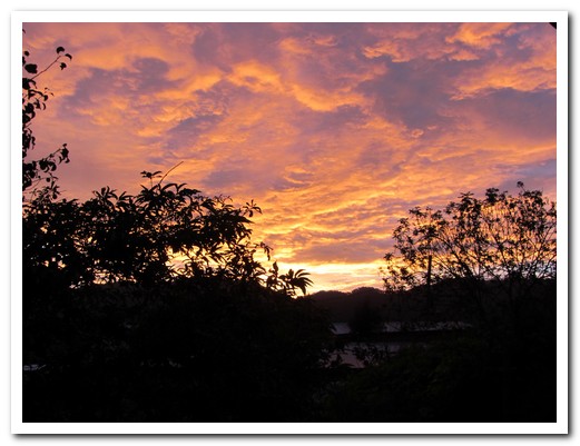
Beautiful mountain sunrise
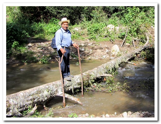
Our guide Carlos crossing a creek
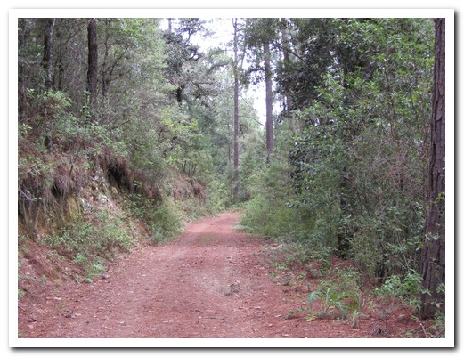
Some of the way was on forest roads
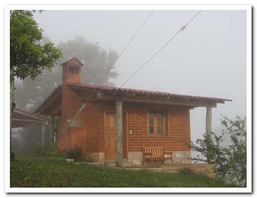
Our cabaña in La Nevería
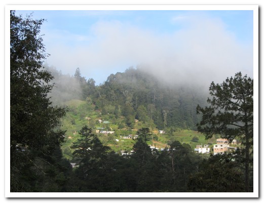
The tiny, 17 family, village of La Nevería (2800 meters)
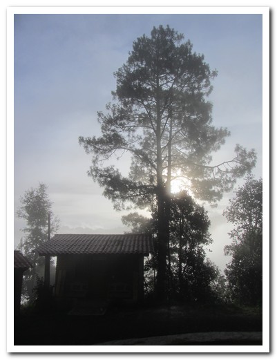
Sun trying to break through the fog

Guide Alfredo leads us up through the forest
 |
 |
 |
 |
 |
 |
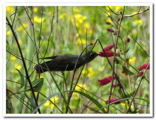
Hummingbird
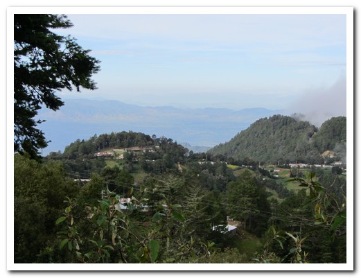
Leaving Benito Juárez (3000 meters)
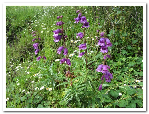
Wild flowers
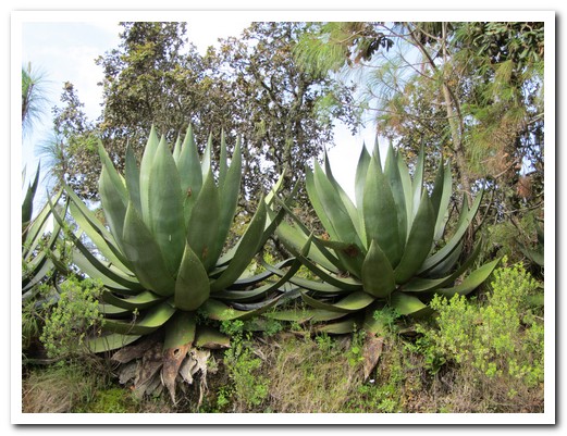
Huge agave plants
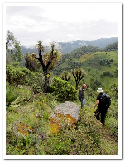
Strange trees on the hill side
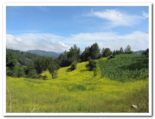
Field of corn and mustard

Lizard sunbaking
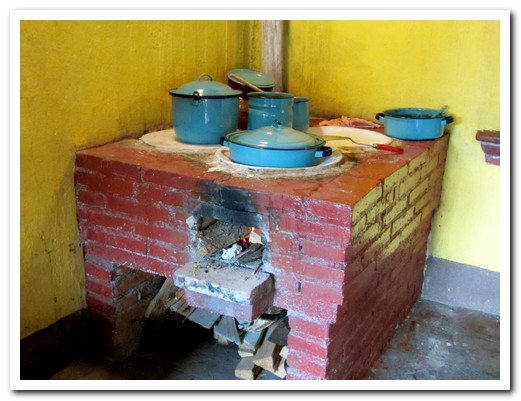
Food tastes better cooked with leña (firewood)
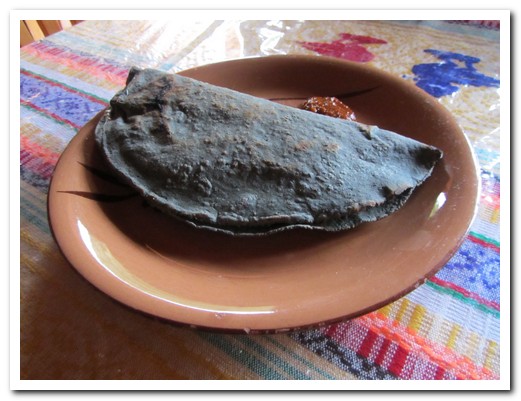
Quesadilla made with black corn stuffed with ...

... giant wild mushrooms
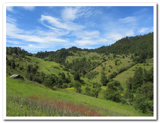
Mountain scenery

The path goes through wildflowers

Field full of tufty grass
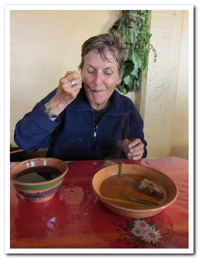
Pam´s really enjoying a final village lunch

Poster for the upcoming wild mushroom fair in Cuajimoloyas
 |
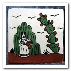 |
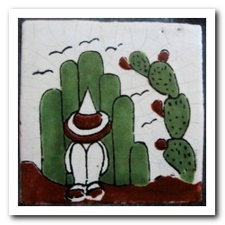
| His and hers baños |
Guelaguetza 2011, Oaxaca
25th July 2011
Here is a short movie of Guelaguetza in Oaxaca.
.