Categories
- Argentina
- Chile
- Antarctica
- Easter Island
- Falklands (Malvinas)
- Bolivia
- Peru
- Uruguay
- Paraguay
- Brazil
- Venezuela
- Colombia
- Ecuador
- Galapagos
- Panama
- Costa Rica
- Cuba
- Nicaragua
- Honduras
- El Salvador
- Guatemala
- Belize
- Mexico
- Latin American Xmas
Pages
- Map of South America
- Home Page
- First week in Latin America – October 2009
- Map of Central America
- Contact Us
- The Jesuit Missions in South America
- A week in Buenos Aires
- Street Art of Buenos Aires
Archives
- October 2011 (3)
- September 2011 (9)
- August 2011 (10)
- July 2011 (7)
- June 2011 (6)
- May 2011 (11)
- April 2011 (10)
- March 2011 (4)
- February 2011 (5)
- January 2011 (6)
- December 2010 (6)
- November 2010 (4)
- October 2010 (8)
- September 2010 (5)
- August 2010 (7)
- July 2010 (5)
- June 2010 (6)
- May 2010 (6)
- April 2010 (7)
- March 2010 (6)
- February 2010 (9)
- January 2010 (4)
- December 2009 (8)
- November 2009 (5)
- October 2009 (2)
The Lost World
11th November 2010
Entering Venezuela was relatively easy; we were given a friendly welcome at the border and a stranger on the bus gave (yes, gave!) us local currency to get into Santa Elena de Uairén [1] town in a taxi. Not so friendly at the bus station however, an army person took us into a small room and thoroughly searched our packs and grilled us for an hour. Santa Elena is a small safe town. One black market money changer walks around with thousands of dollars hanging out of his back pocket. When Jeff stopped at a shoe repair man sitting on the street to have his sandals fixed, the repair man loaned him a pair of someone else´s shoes (which were in for repair) to use whilst his sandals were being fixed – perfect fit too.
.
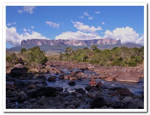
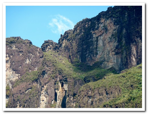
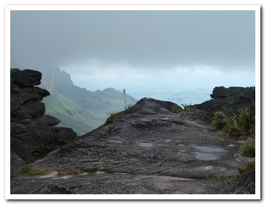
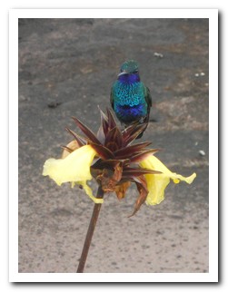
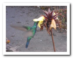
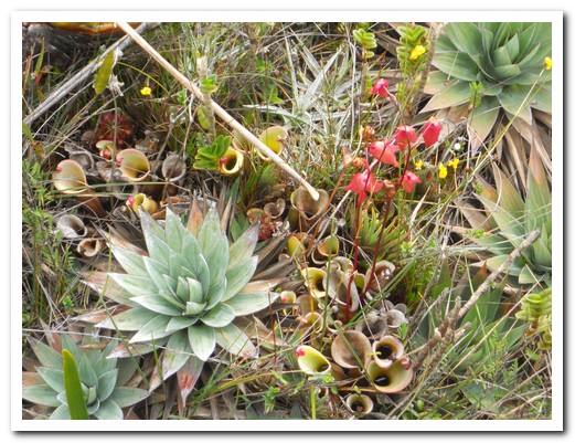
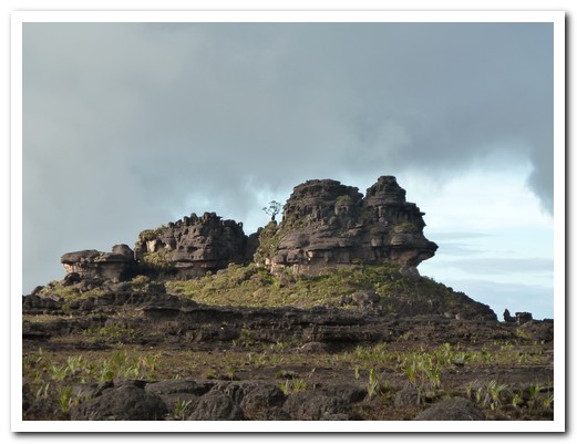
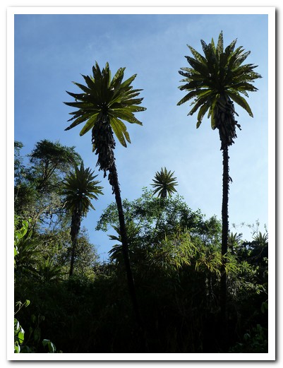
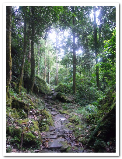
New Frontiers Adventures organised a 6 day trek for us to Mount Roraima [2] the highest of a number of massive sandstone table top mountains (tepuis) rising steeply some 2800 metres out of the surrounding Gran Sabana (Great Savannah) in south eastern Venezuela. At the top unique flora and fauna have evolved due to millions of years isolated from the world below, including a tiny black frog that curls itself into a ball and rolls away. Roraima was the inspiration for Sir Arthur Conan Doyle´s book ¨The Lost World¨.
.
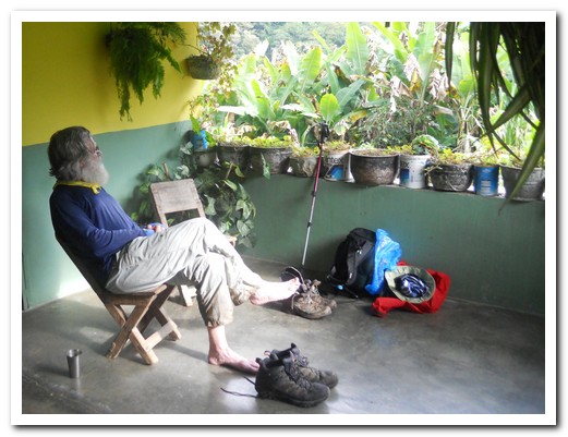
Our guide and great cook, Mireille, came to Venezuela from France 20 years ago and stayed. With two porters Alistro and David, we set off taking 2 days and crossings 2 rivers to reach base camp at 1800 meters. We climbed steeply through lush forest, still dripping water from rain the previous night, then followed the sheer rock wall, passing under a waterfall (Paso de Lagrinas) to the top, about 2600 meters. A truly different world awaited us, not as flat as it looks from below. Nature has sculpted the rocks into strange shapes, many unusual plants grow tightly together in water filled rock hollows and shiny white crystals lie scattered about. We camped under a huge rock overhang (Hotel San Francisco) for 2 nights, allowing us time to explore. To keep the place pristine, all the human waste has to be carried down – lucky guides. Then at the bottom, park rangers check the packs for stolen crystals.
.
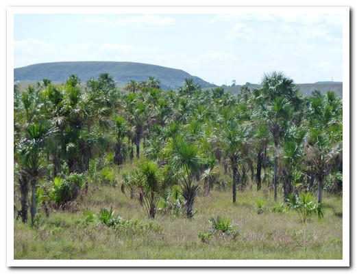
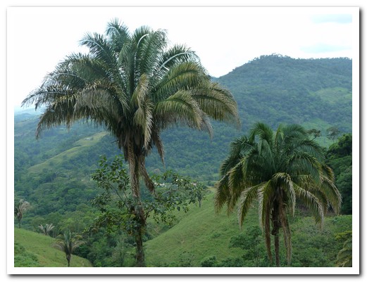
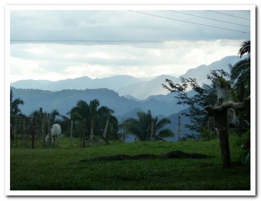
Palm trees of the Savannah
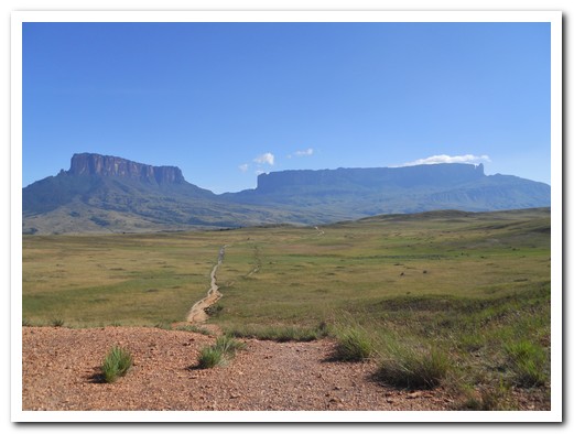
The path towards Roraima (right)
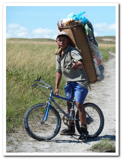
David with traditional basket uses his bike on the flat bits
Monjon de suegra (mother in law´s turd)
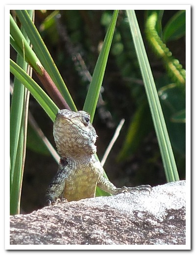
Lizard on a rock
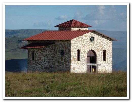
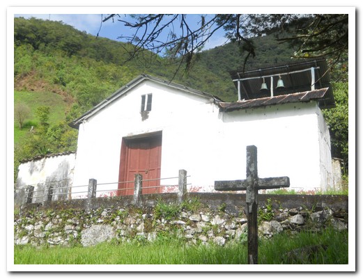
Isolated church used only at New Years
One of the rivers to cross to get to Roraima
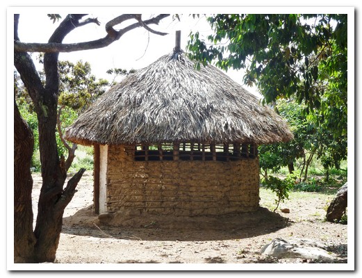
Traditional indigenous hut
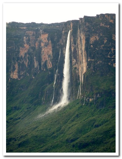
One of the many waterfalls - 2nd highest in Venezuela
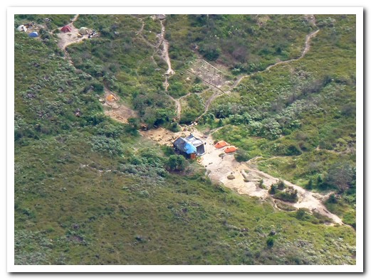
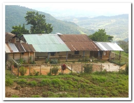
Base camp
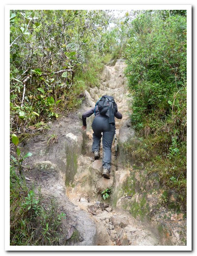
The path gets steeper

Vertical rock wall
The Ramp is not as easy as it looks
Made it to the top!

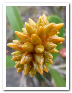
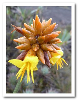
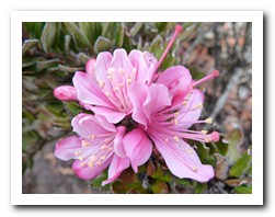
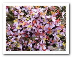
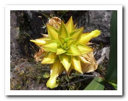
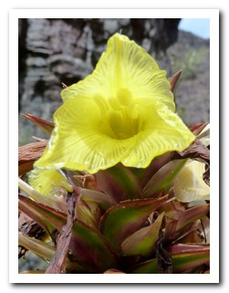
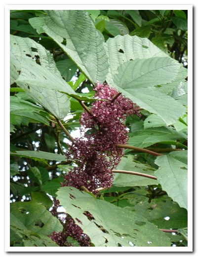
One of many strange looking plants on the tepui
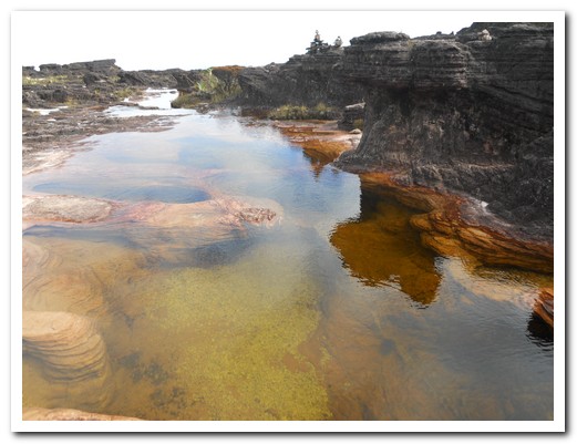
The jacuzzi
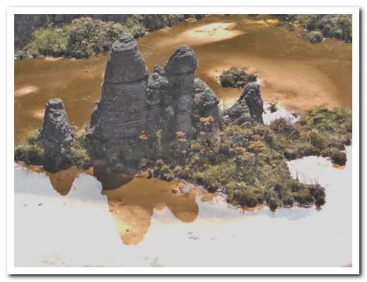
Rock family reflected in a pool
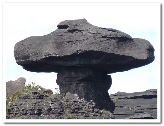
One of the strange rock formations
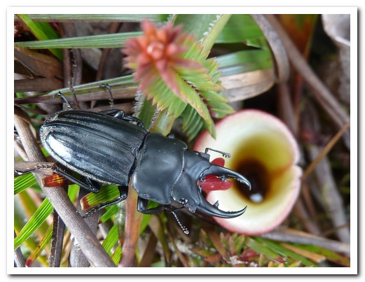
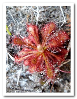
Beetle looking for food in the carnivorous plant
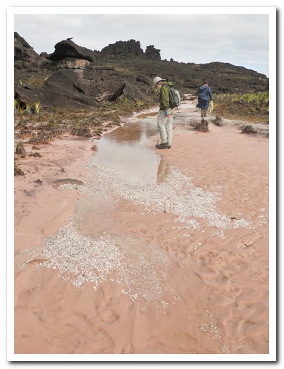
Crystal valley
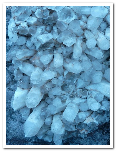
Crystals

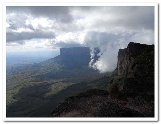
Clouds rolling in
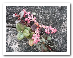
Different plants grow close together
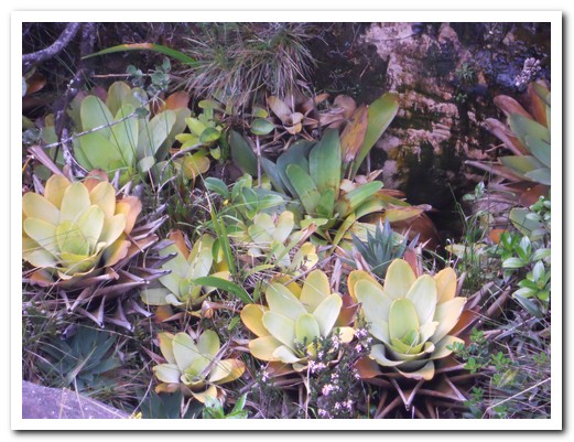
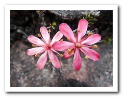
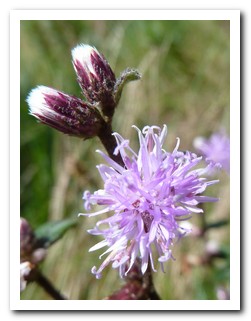
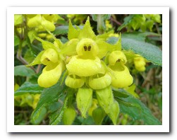
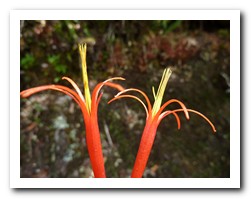
Plants of the tepui
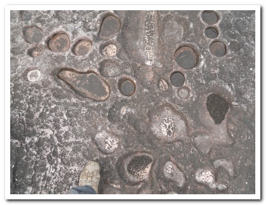
Surface of the rock looks like footprints

Fidel Castro
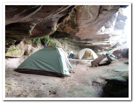
Hotel San Francisco
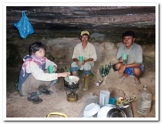
Mireille cooking with Alistro and David looking on
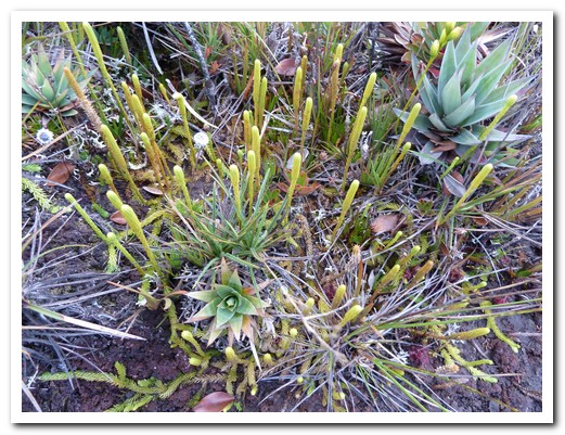
Prehistoric plants
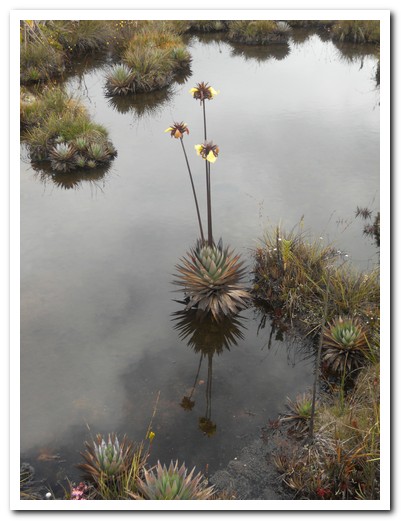
Reflection
Rock formation
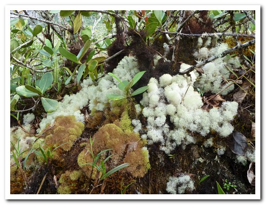
Coloured lichens

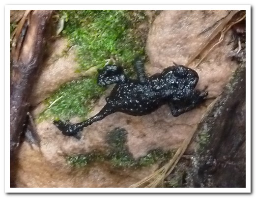
Tiny black frog only found here
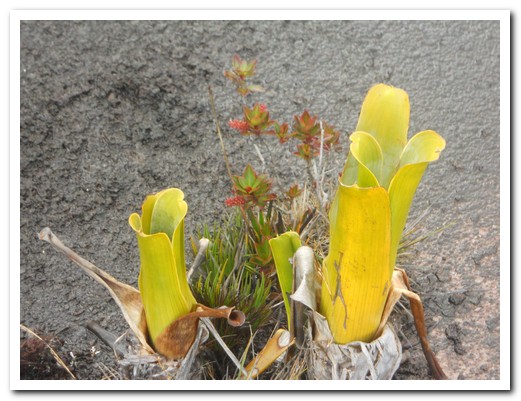
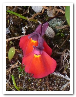
Large carnivorous plant
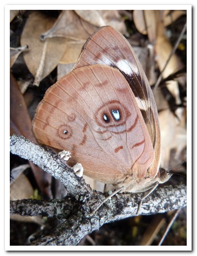
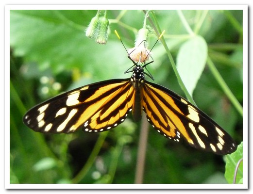
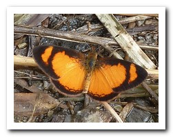
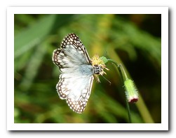
Butterfly
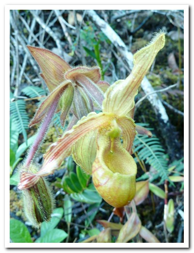
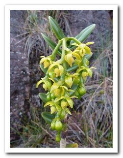
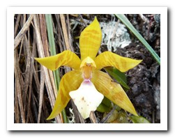
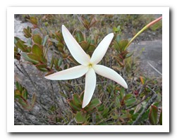
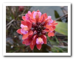
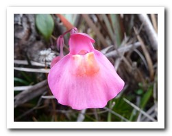
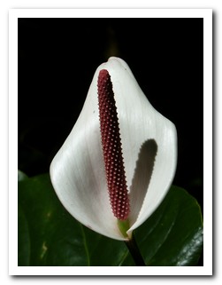
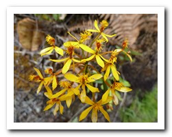
Orchid
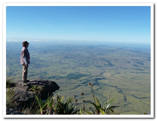
Mireille points out the savannah below
Northern Venezuela
18th November 2010
Heading north across the country we stopped in Ciudad Bolívar [3] an old river town on the Rio Orinoco. Outside the airport is the Flamingo monoplane that the American aviator Jimmy Angel crashed whilst attempting to land at the highest waterfall in the world – Salto Angel (Angel Falls) which he ¨discovered¨ in 1933.
.
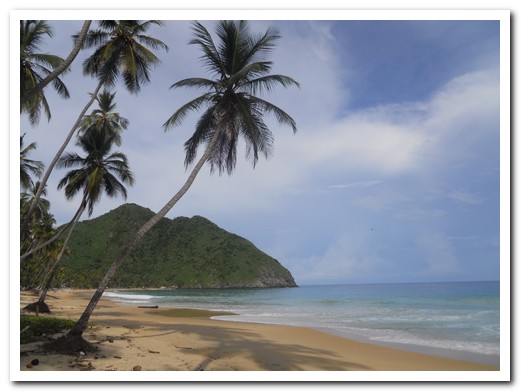
After an all night bus to Maracay [4], avoiding Caracas, we headed on to the Caribbean Sea town of Puerto Colombia [5]. In a tarted up retired US school bus with a powerful sound system pumping out Venezuelan pop/rap a music at teeth loosening volume we raced around the corners on the narrow road which snakes across the 2000 meter high, jungle clad mountains. Puerto Columbia is a quaint fishing village with a pretty palm fringed beach framed by the tropical rain forest of the Henri Pitier National Park. We had to swim in the clear warm water, even if it was pouring rain. It´s a good setting to try Guarapita, a potent rum and passionfruit cocktail. Arepas, fried dense corn pancakes with a variety of fillings, are popular and filling snacks and taste good with salsa picante de terminta, the fiery hot sauce made from termites. The colonial village of Choroní with fine old buildings around the plaza shaded by mango trees is a few kilometres inland.
.
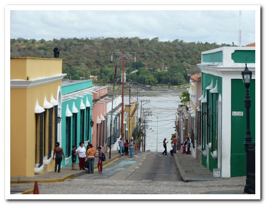
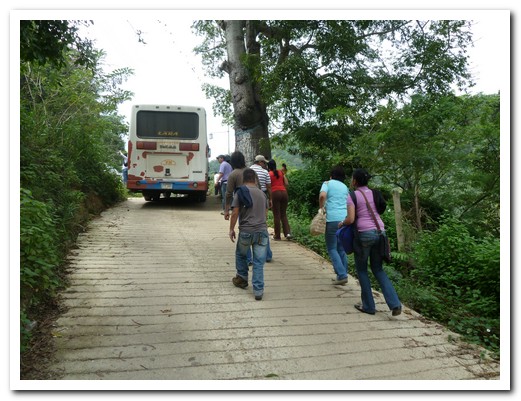
Nine hours and three local buses after leaving Puerto Colombia we arrived in the colonial city of Coro [6] . On the final leg, just as we were congratulation ourselves on making it through the maze of busses in 2 busy terminals, traffic on the autopista was at a standstill for kilometres ahead. Our resourceful driver quickly turned around and followed a smaller parallel road, which continued to narrow. We came to a slender fragile bridge, which the locals assured the driver he could not cross, but everyone got out and the bus raced over. Soon we were on our way again. Big bus music = no problems, no bus music = big problems!
.
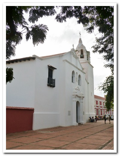
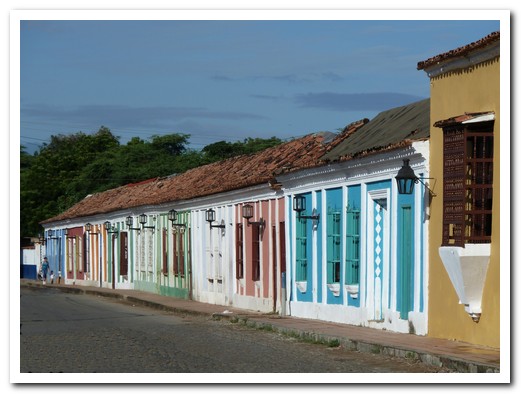
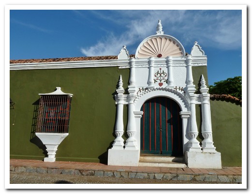
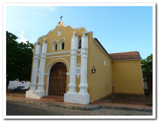
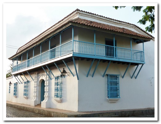
Coro was founded in 1527, one of the first Spanish settlements in South America, and is World Heritage. It is clean, well kept and has many beautiful buildings and plazas in the historical centre.
.
Cuidad Bolívar
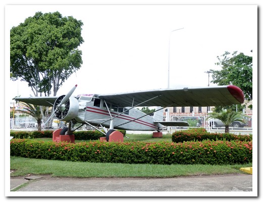
Jimmy Angel´s Flamingo
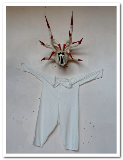
Mask for the Dance of the Devil
The main street of Choroní
Caribbean beach at Puerto Colombia
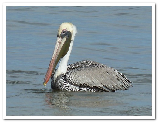
Pelican resting
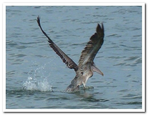
Taking off
Arepa stuffed with chicken for lunch
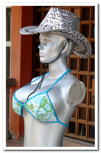
Even the mannequins have cosmetic surgery
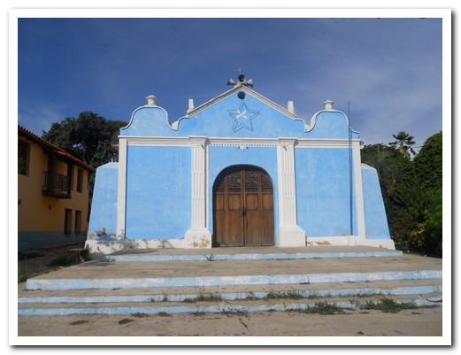
Church at Puerto Colombia
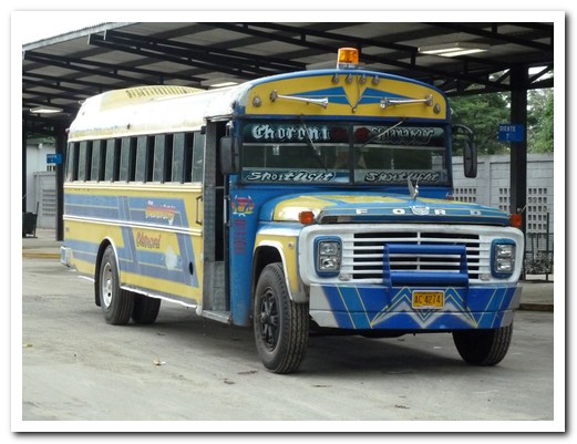
Maracay to Choroní bus
After crossing the narrow bridge, under the power lines and up the hill ...
Iglesia in Coro, from 1531
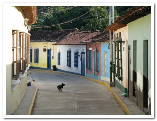
Coro - street of colonial adobe houses
One of the old mansions
Another early church where the first mass was said in Venezuela
Beautifully restored verandahs
Former fountain
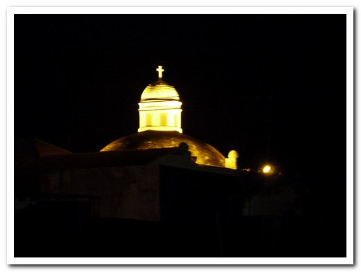
The main Coro church at night
Crossing the Andes by Foot
27th November 2010
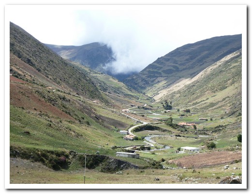
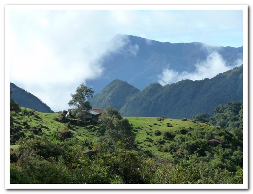
There was a light dusting of snow on Pico Bolívar (5000 meters) towering above Mérida [7] when we arrived from Coro [6]. Mérida lies at an altitude 1600 meters in a valley of the northern Andes. We met our guide Carlos from Natoura and organised a 5 day trek crossing the Andes beginning the next day.
.
After driving to the end of the road at 3200 metres, we began climbing to 3500 metres, before descending down an old Spanish mule path, leaving the modern world behind. We spent our first night camped outside an abandoned house at 3000 metres where Carlos cooked a delicious meal of smoked pork chops. It was cold but there was a full moon and no rain.
.
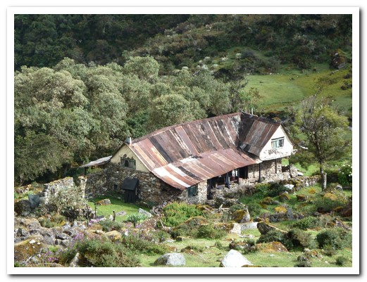
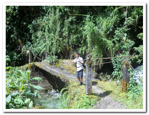
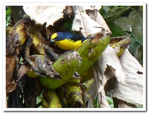
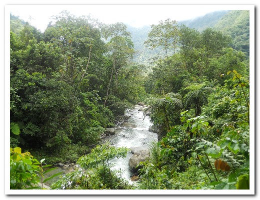
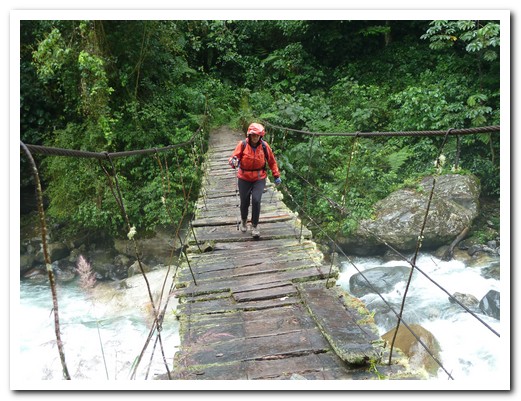
Day 2 we descended steeply down to 1600 metres through cloud forest on a slippery, but beautiful rocky path. All along the way were birds, butterflies, flowers, numerous waterfalls and river crossings sometimes via suspended bridges, sometimes hopping from rock to rock. Our reward at the end of the day was a welcoming posada in the small, isolated village of Carrizal – population 30 and 10 hours walk from the nearest road. Once the wet boots came off, we were served mountain coffee grown and processed right there. The rain was beating down on the tin roof as we sat and watched the oro pendula birds coming and going from their long hanging nests high in a nearby tree. Dinner was salted meat and delicious cheese smoked over a wood fire in the posada kitchen.
.
Thankfully the walking was easier the next day although the path was overgrown. We stopped at a lone house after a few hours where we shared more mountain coffee and freshly prepared sugar cane juice with the family. Continuing on, we climbed steeply up a path of pre-Hispanic, moss covered steps to overnight in the posada at San José, glad that we were warm and dry and not in a tent in the downpour. Mules carried in everything needed to build the house. How does a mule carries a toilet on its back?
.
Gradually we emerged from the jungle to the Andean foothills, to spend a last night at a posada in Santa Maria de Canaguá (400 meters) where we enjoyed cold beers with Carlos and Eliesar, the mule handler. The next day we travelled by 4×4 to the highway and by car back to Mérida via a lovely mountain road through 400 year old villages crossing a pass at 3500 meters.
.
From Merida we leave Venezuela and head to Colombia via Maracaibo [8].
.
The end of the road at the start of the trek
The abandoned house where we camped
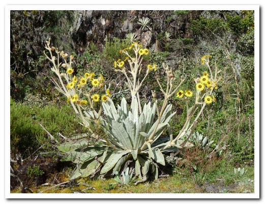
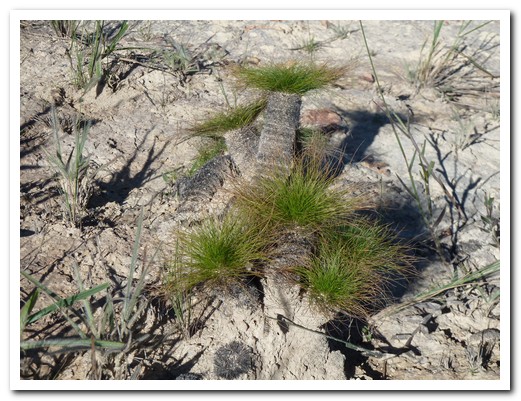
The frailejon plant is only found here in the mountains
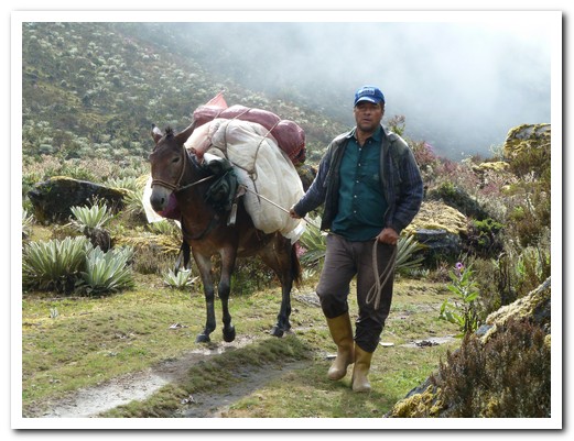
Eliesar with the mule that carried our supplies
The beginning of the cloud forest
Carlos waiting for us at the first bridge
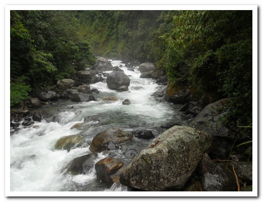
One of many rivers to cross
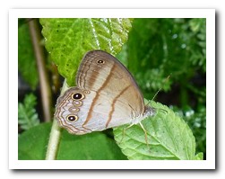
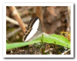
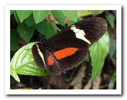
Many many butterflies
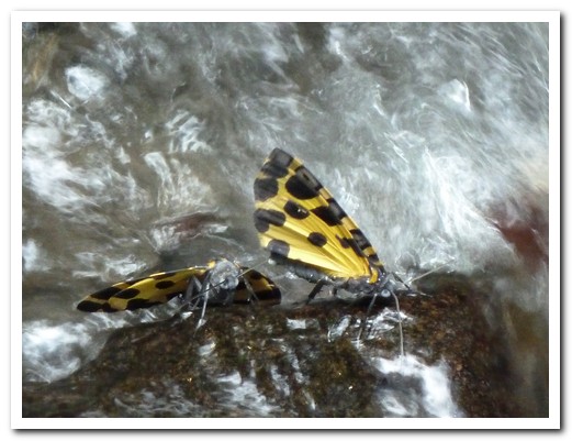
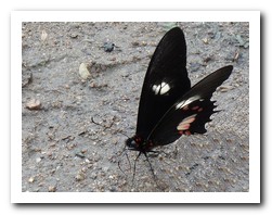
Two butterflies take a drink
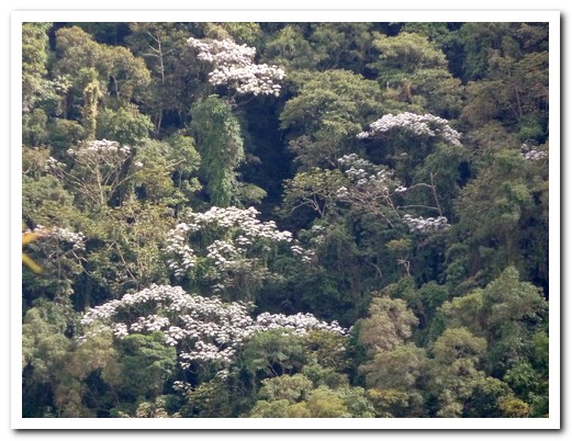
White leaf trees stand out in the high forest
Clouds rolling in
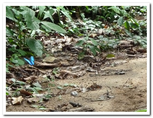
Blue butterfly on the path

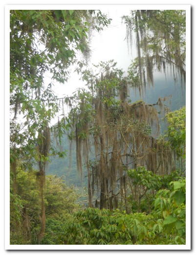
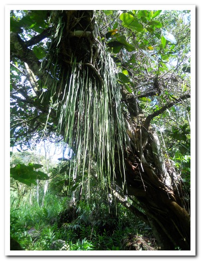
Old man´s beard covers the trees
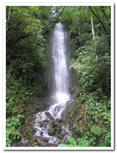
Just one of many waterfalls

Every house has a coffee drying area

Chickens scratch around in the drying coffee looking for worms
Listening to the rain on the tin roof at Posada Carrizal
Church at Carrizal
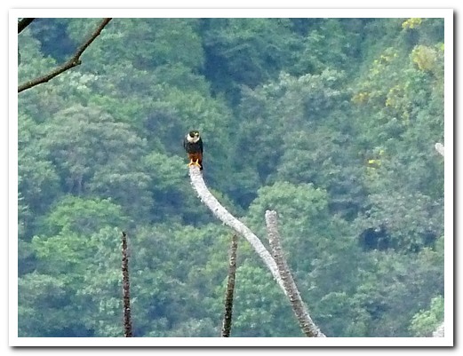
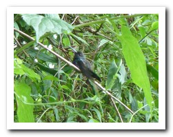
Falcon out on a limb
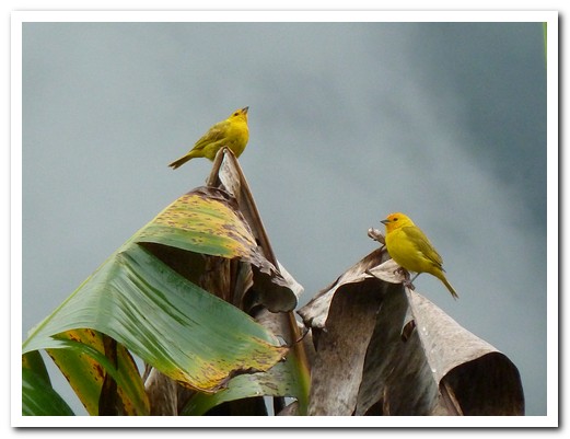
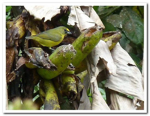
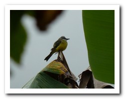
Two little birds in the rain
Strange hanging plant

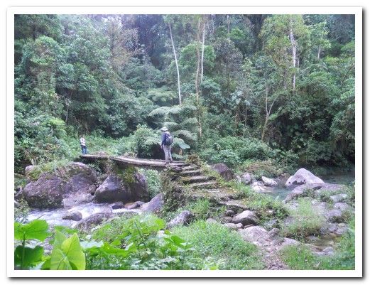
Crossing a bridge in the jungle
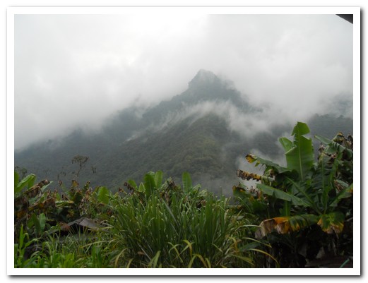
Here comes the rain
Cock on the rocks
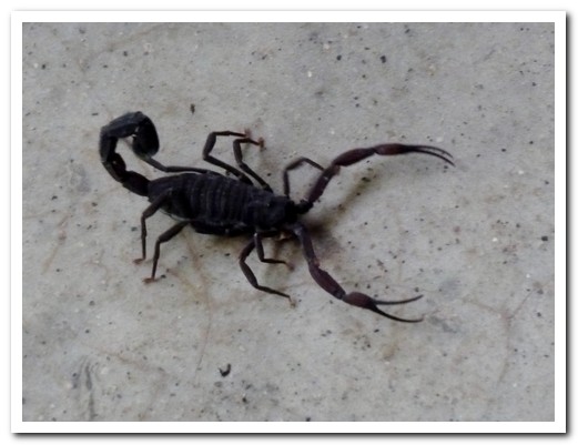
Scorpian about to get into our pack
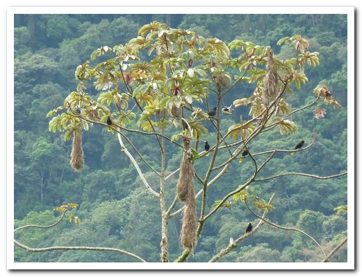
Oro Pendula birds with their nests

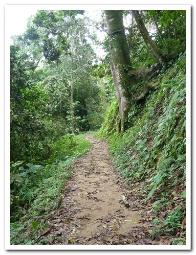
Jungle path
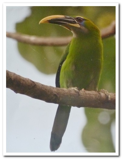
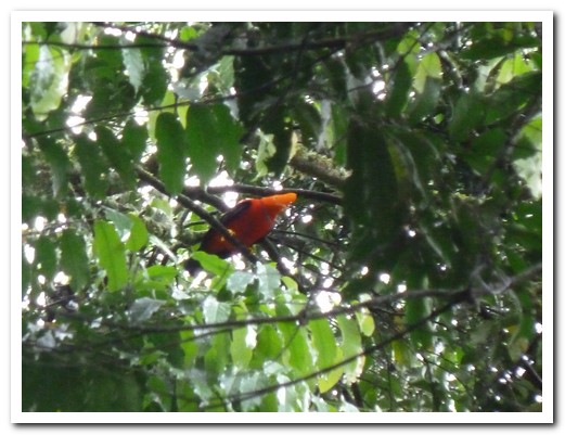
Spotted a tucan!

Ancient pre-Hispanic steps

Woodpecker
Pam - ¨If the mule can cross it, I can¨
Out of the jungle and into the foothills
Dusk on our last evening