October 31, 2015
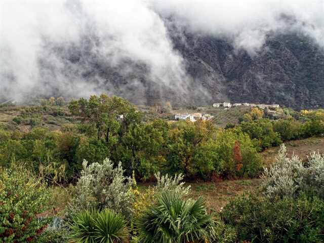
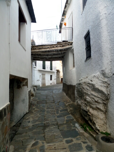
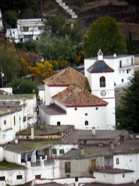
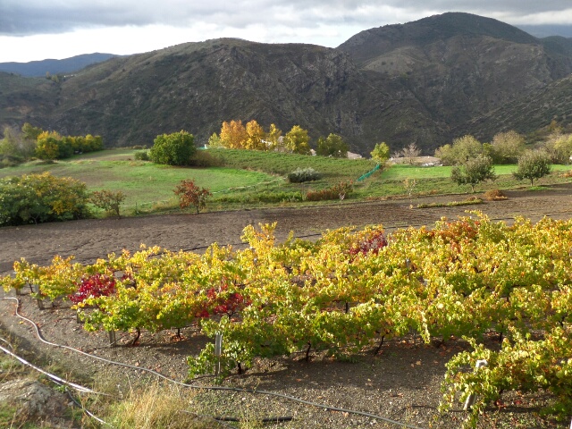
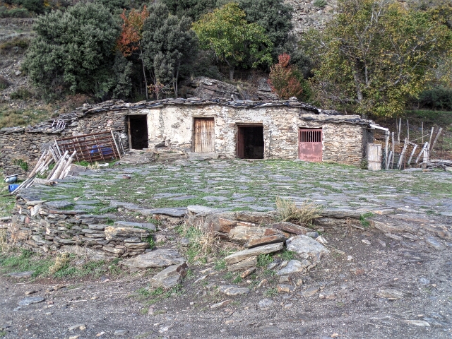
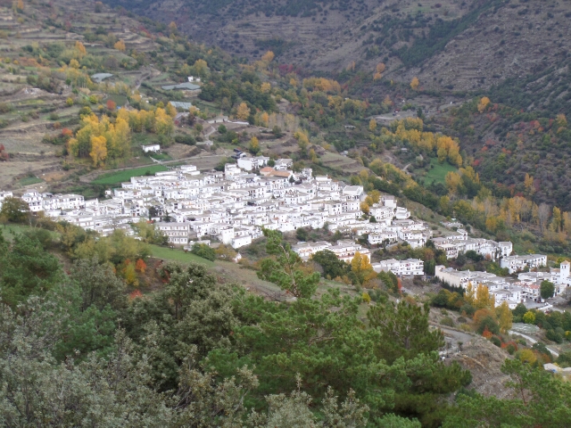
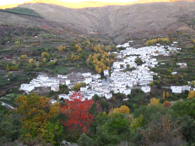
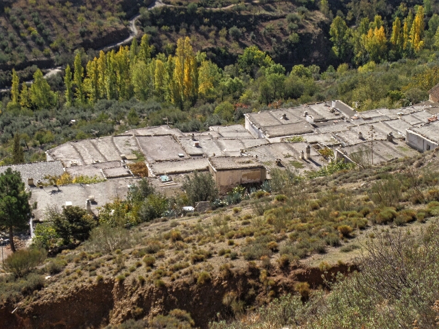
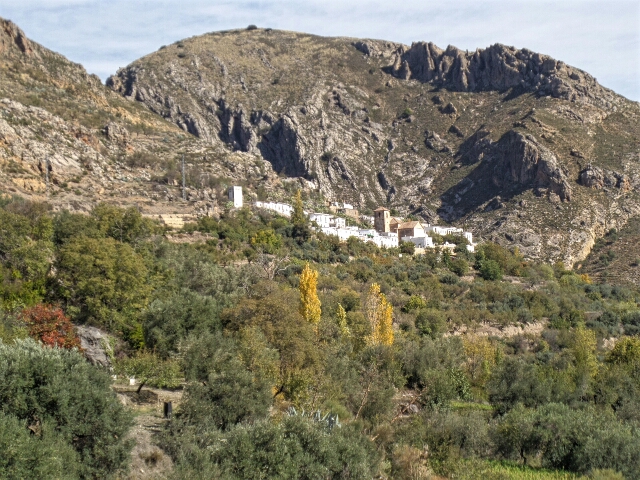
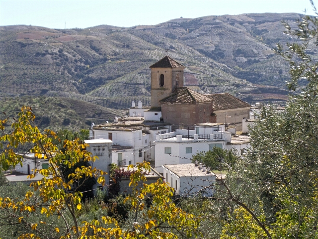
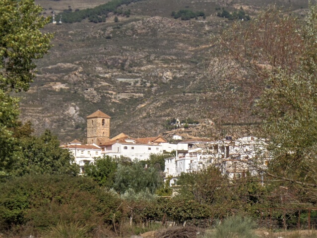
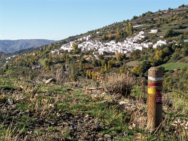
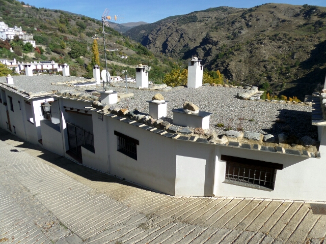
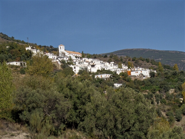
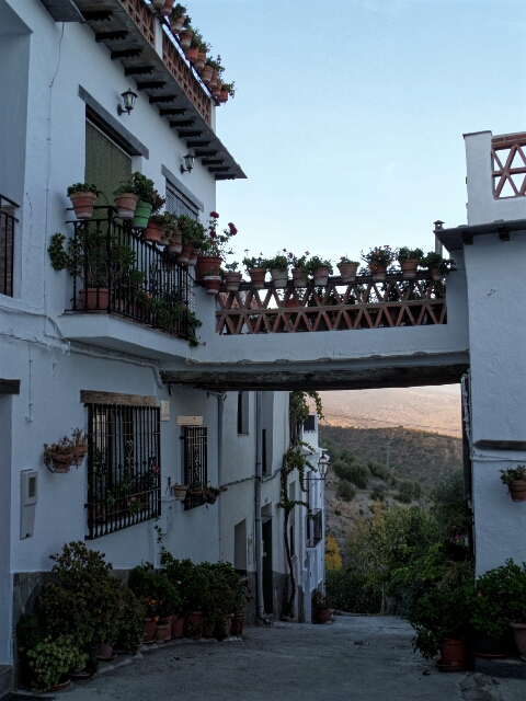
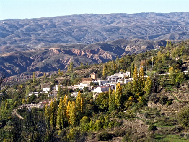
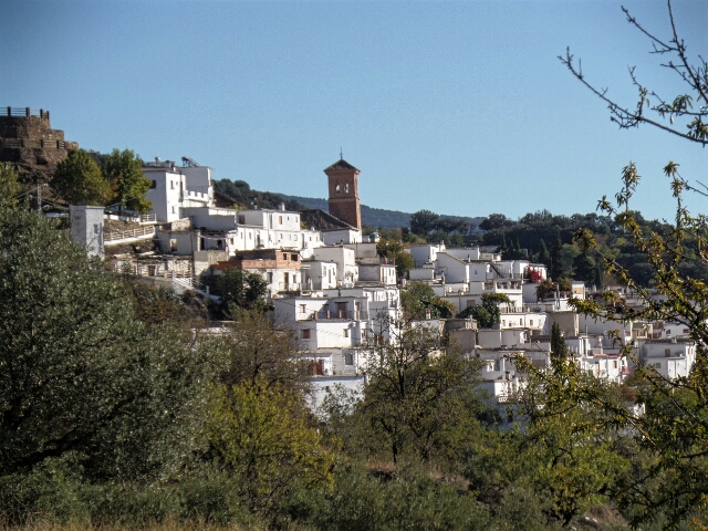
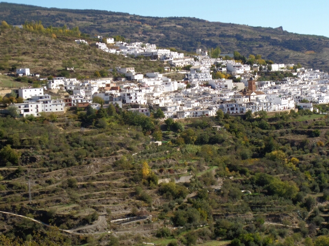
The Alpujarra is a region in Andalucía lying south-east of Granada on the southern slopes of the Sierra Nevada and with an average elevation of 1,300 meters. Its 52 villages, which still display their Berber origins today, were the last stronghold of the Moors, finally expelled in 1586.
Click here for our walk from Lanjarón to Pitres. Click here for a map if the GR7 in Granada.
Pitres to Trevélez 15.2 klms, 6 hours
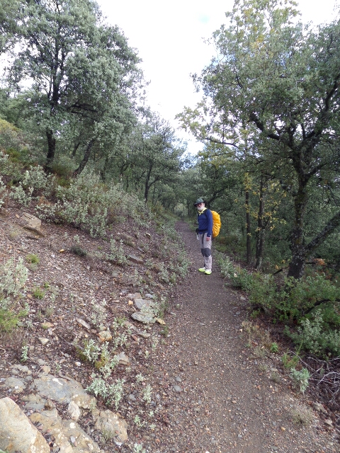
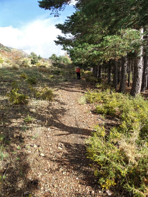
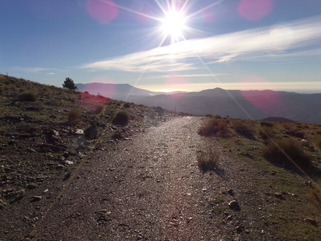
We left Pitres at first light to beat the afternoon rain. Every day this walk gets better – today through a couple of tiny pueblos (Atalbéitar, Pórtugios & Busquístar) and then a climb to 1820 meters, mostly on earth paths compacted by years of use.
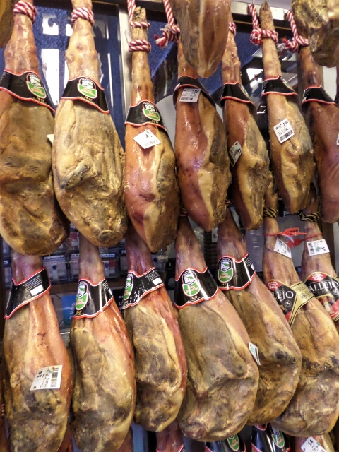
Trevélez is famous for the quality of its hams – the cold climate due to its altitude (~1500m, the highest village in Spain) makes for ideal conditions for air drying them.
Trevélez to Cádiar 18.7 klms, 6 hours
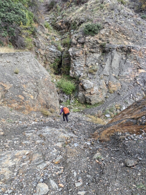
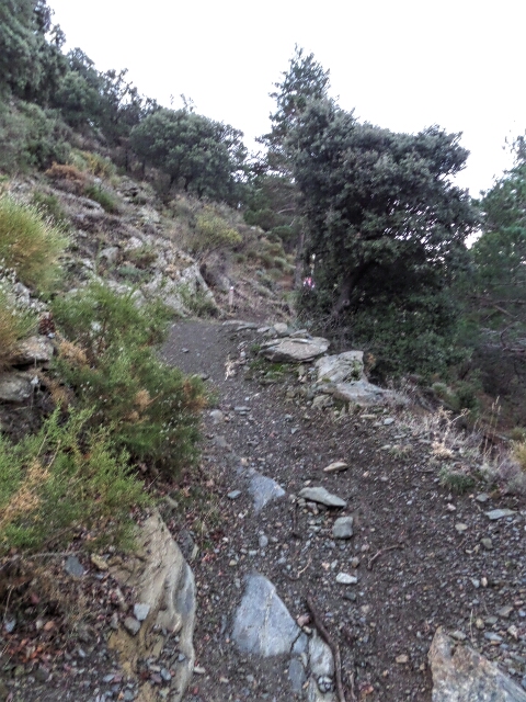
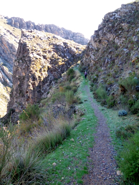
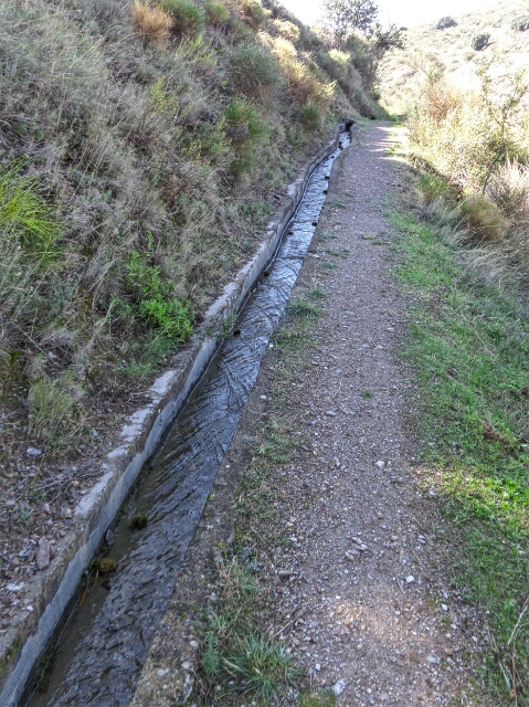
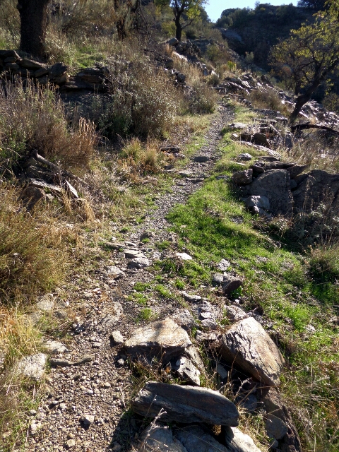
Another crack of dawn departure – clear skies and a cold 4°C but a stiff 500 meter climb out of the valley up to 1800 meters soon warmed us. Great walking on quality earth track and a beautiful narrow gravel path cut into the cliffs between Juviles and tiny Timar but here the trail deteriorated and at one point disappeared, requiring a bush bashing steep scramble up to an acequia (water channel) that we could follow to Lobras. From there we had about 2 hours of tiring climbs and descents on not so great path.
Arrived exhausted in Cádiar to discover the only hotel in town, which we’d pre-booked by phone a week ago, was closed until tomorrow – went to the ayuntamiento (town council) who rang the owner to open it for us.
Cádiar to Yegen 16.5 klms, 6 hours
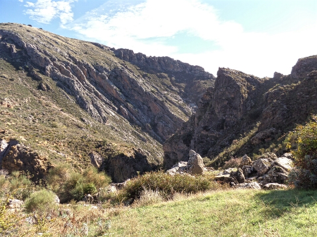
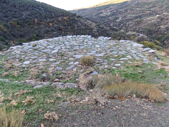
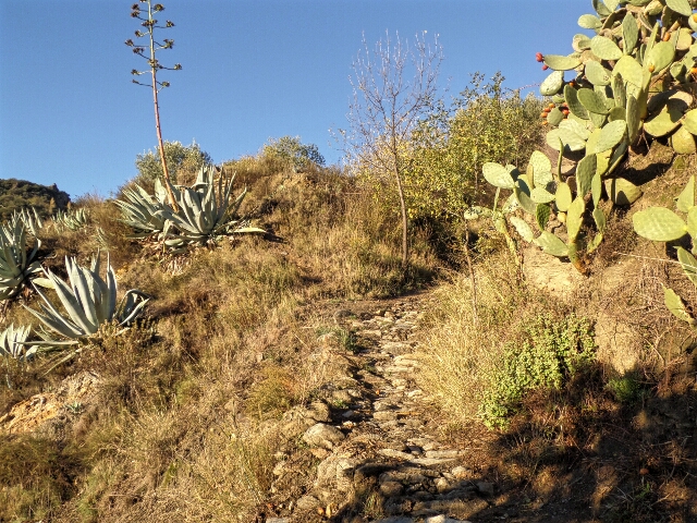
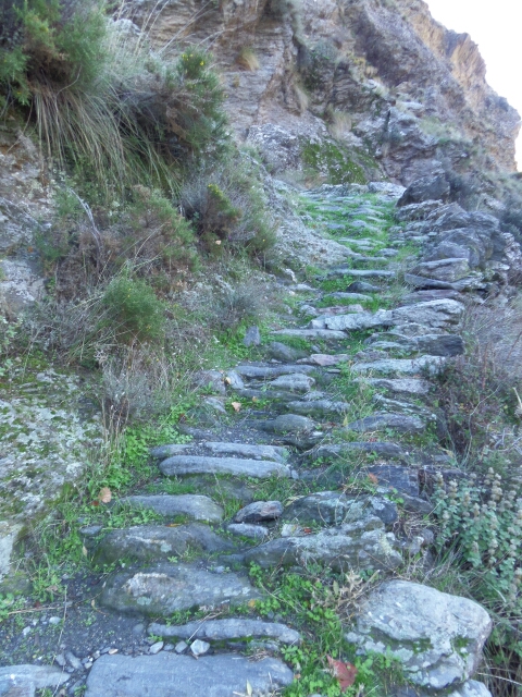
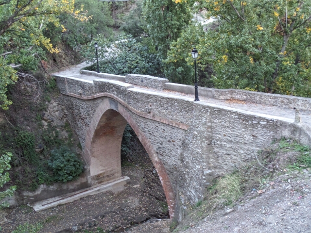
The pueblos of Cádiar, Narila, Alcútar, Bérchules, Mecina Bombarón and Yegen are all around 1100 meters, but mostly separated by rugged deep ravines requiring steep climbs and descents. We had 1,000 meters of up and 900 meters of down – a hard day but made enjoyable in places by beautifully constructed old stone paths. After having it all to ourselves for the last 5 days we met our first other walkers, a UK couple heading the opposite direction.
In Yegen our hotel was closed today, but the owners were there to let us in and made us a great home cooked lunch.
Yegen to Laroles 15.7 klms, 5 hours
A pleasant walk through Valor and Nechite. But by Mairena we’d had enough so we cut it short (by 1.5k) by taking the road instead of the GR7 the last 4k to Laroles – nice views and warm in the sun.
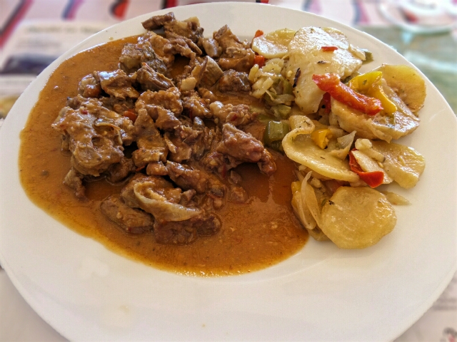
Finally at the very end we got the typical Alpujarran dish that we’d been searching for – goat stew in garlic sauce – delicious and worth the 90k walk!

