October 23, 2015
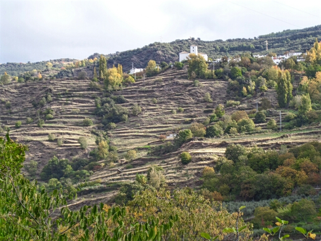
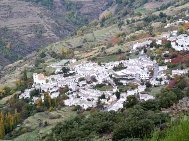
The Alpujarra is a region in Andalucía lying south-east of Granada on the southern slopes of the Sierra Nevada and with an average elevation of 1,300 meters. Its 52 villages, which still display their Berber origins today, were the last stronghold of the Moors, finally expelled in 1568.
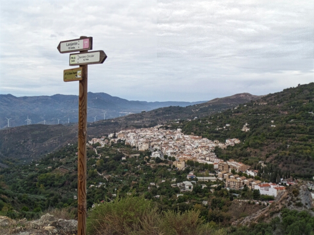
Our plan – to walk from Lanjarón on the western edge to Laroles in the east following the GR7 footpath. Click here for a map if the GR7 in Granada.
Lanjarón to Soportújar 12.4 klms, 5 hours
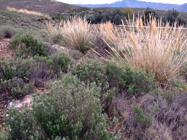
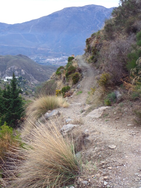
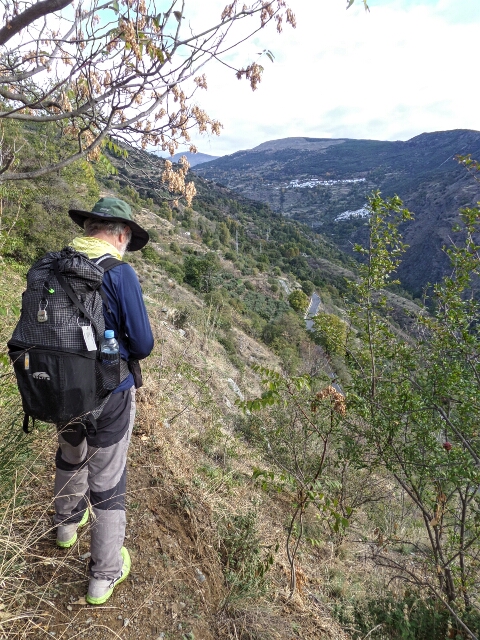
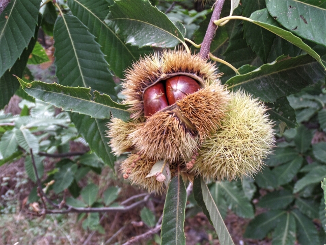
What a day. We climbed steeply, crossed high plains where we picked wild herbs, the village of Orgiva visible in the valley far below. In the bar at the halfway pueblo, Cañar, we discovered a local author had written the book El Cartero del Desierto (The Desert Postman) so Pam bought a copy.
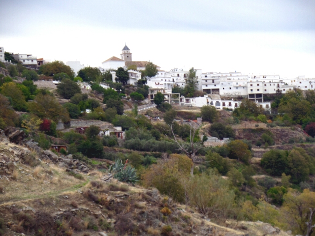
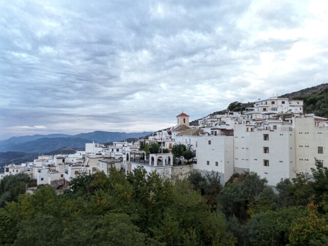
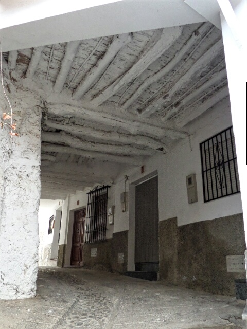
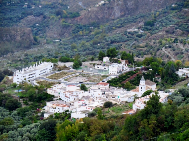
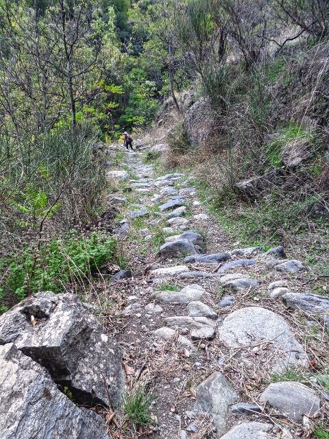
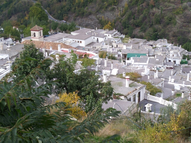
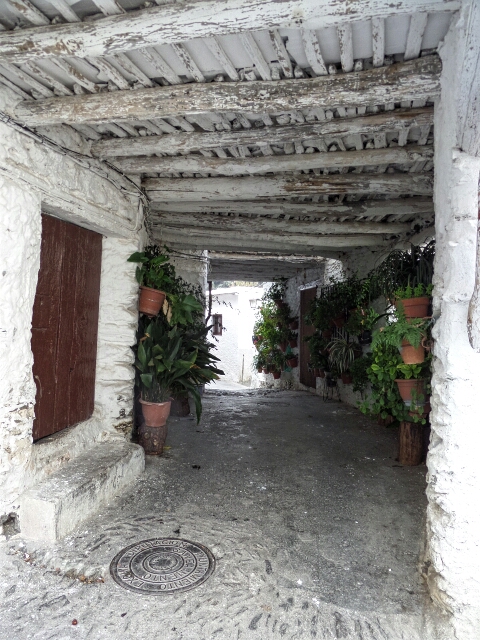
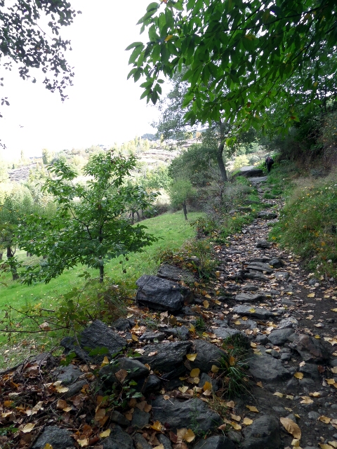
We could see Soportújar across the valley but it was still a 2 hour hike away along a narrow, centuries old path to the head of the valley and back. Soportújar calls itself Lugar de Embrujo (Enchanted Place) – a lovely small village; so steep that houses are built over roads. Enchanted for sure, Paco the owner of Apartamentos La Huerta where we stayed bought us olive oil from his trees outside our windows and a bottle of his own delicious wine from his grape vines below. The overhanging balcony gave us spectacular views of the pueblos below with the mountains behind.
Soportújar to Pitres 11.9 klms, 4 hours
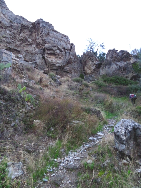
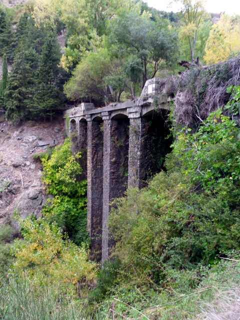
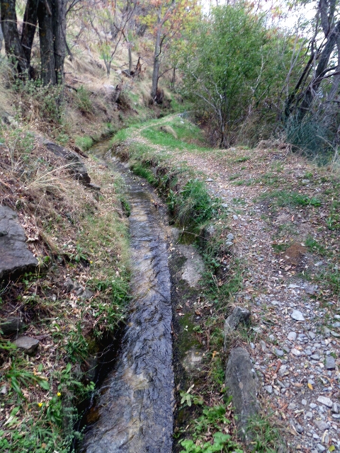
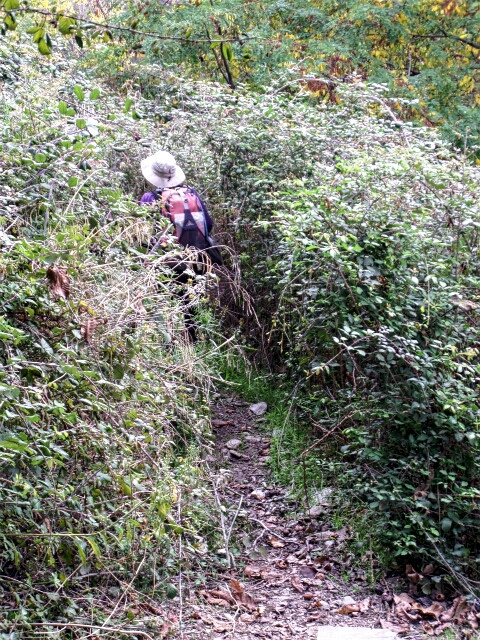
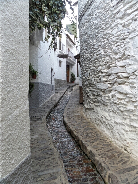
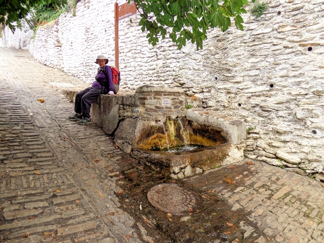
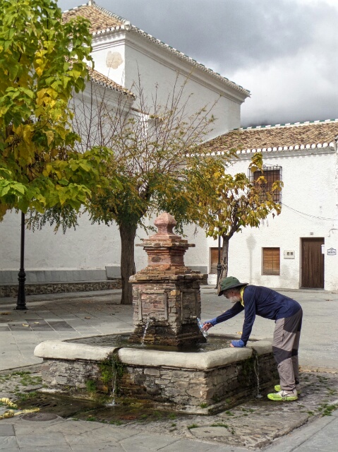
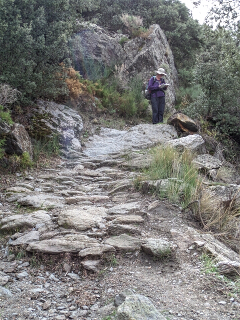
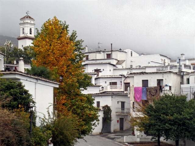
Another great walk along some wonderful old paths, although overgrown in places – hard going too with over 900 meters of up and 600 meters of down. The trail took us through the prettiest of the villages, Pampaneira, onto Bubión and over a 1560m mountain pass before descending to Pitres.
Walking around Pitres
Instead of spending the day walking around La Taha villages near Pitres as planned, we stayed inside in the warmth. It rained steadily all day.


