After 255 km of the Andalucian Coast to Coast walk from Maro to Montejaque in March 2020 (here), COVID restrictions forced us to return home. Now we’ve returned to continue to the end at Bolonia, about 170 km to go.
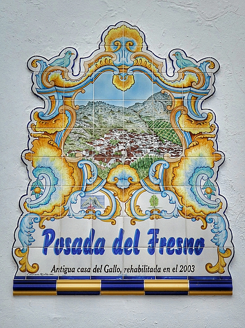
We came from Castilla y León having walked The Exile section of Camino del Cid, had two days off in Madrid and took the train to Benaojan. Then walked the 4 kilometers up 250m to Montejaque to stay at the friendly Posada Del Fresno, the same place we enjoyed in 2020.
Thursday 13 October 2022: Montejaque to Cortes de la Frontera
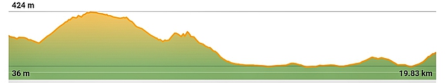
Distance: 19.8 km Time: 6:15 Ascent: 600m Descent: 680m – Wikiloc
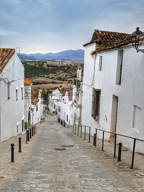
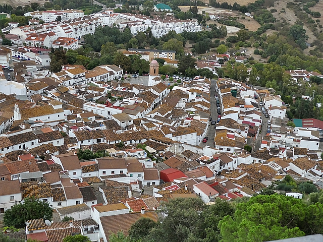
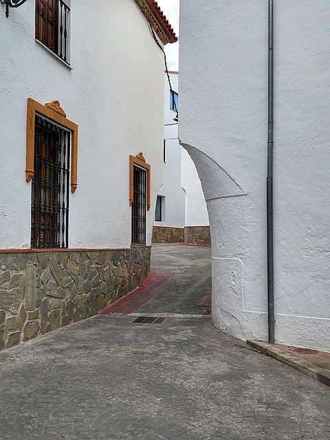
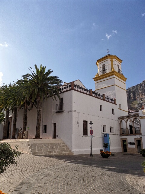
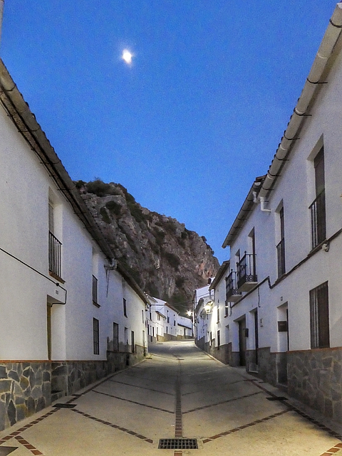
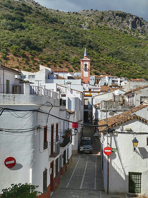
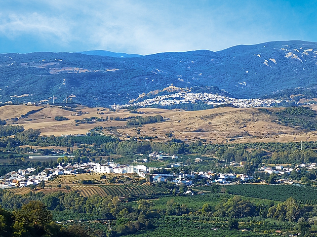
Montejaque (pop 938) is a beautiful white village at an altitude of 688m in the Sierra de Grazalema Natural Park. The historic center displays its Nasrid (last Muslim dynasty of Granada, 1230 – 1492) origins of whitewashed buildings and narrow streets. This is our third visit – 2015 here, 2020 here.
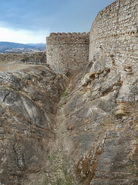
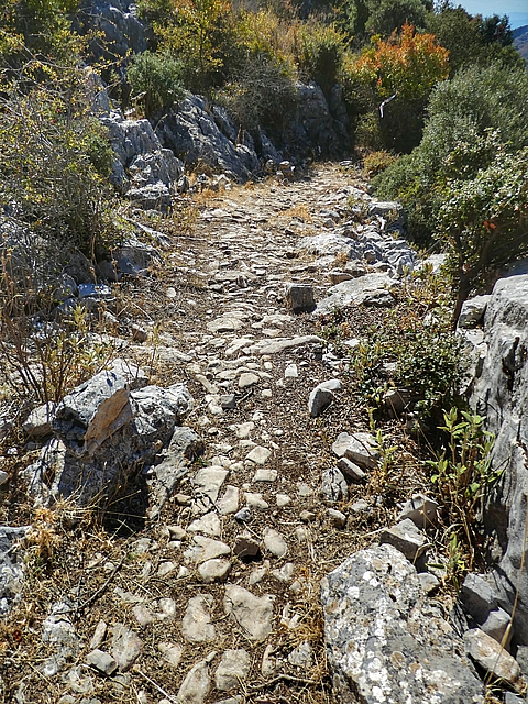
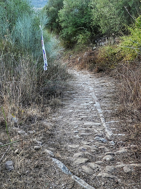
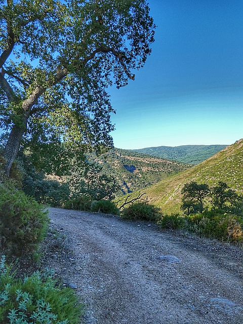
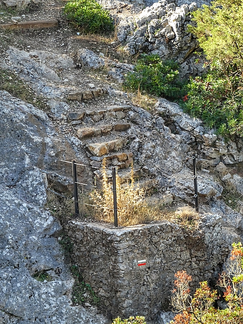
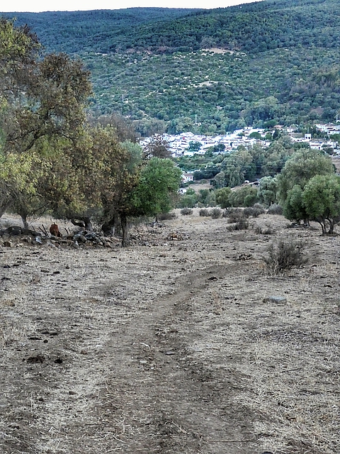
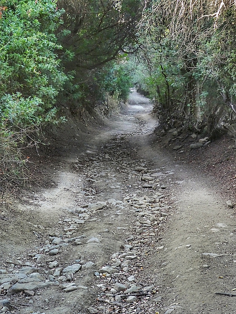
Today’s walk was along a newly graded and rolled dirt road up hill then along the Llanos de Libar (Plains) until about halfway. The track then deteriorates into a barely visible, rough stoney path up hill, through the pass and down to Cortes, very slow going. Yet jammed between outstanding karst limestone formations this is a uniquely beautiful section of mountainous terrain.
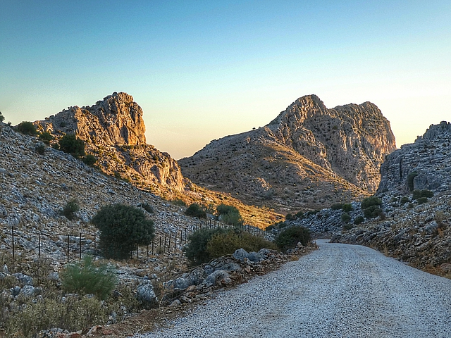
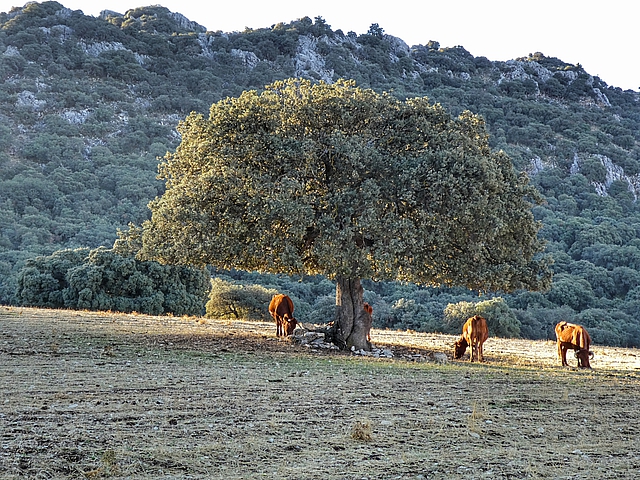

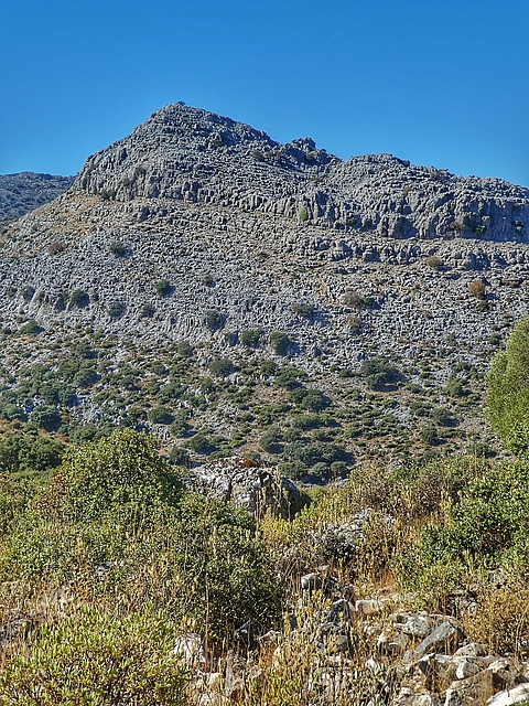
There are no streams here. Rain penetrates through the fractures and cracks it causes in the rock creating large underground complexes
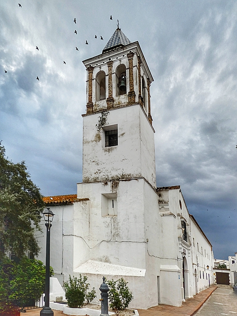
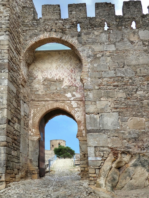
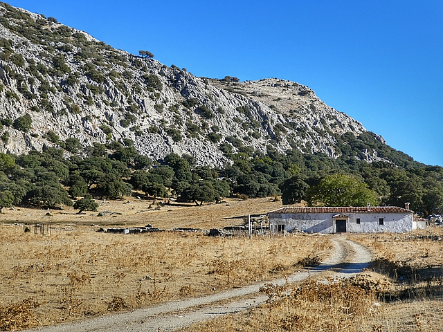
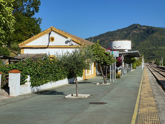
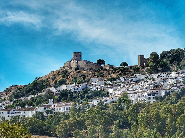
Cortes de la Frontera (pop 3034, altitude 633m), dazzling white against the mountains has been occupied since prehistoric times but today’s village dates from the 1700s when it became rich from cork tree harvesting.
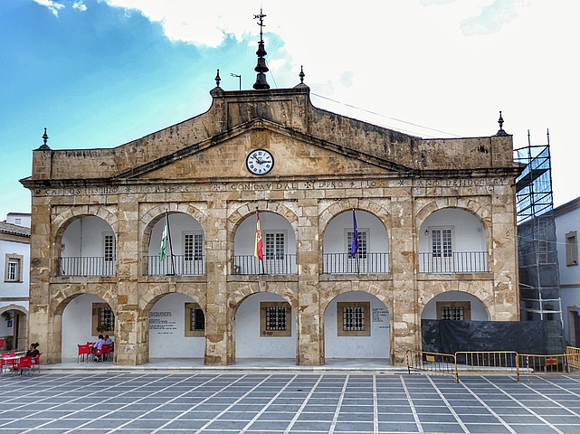
Curiously the entrance is through the side, the arches adopted by a nearby bar
Friday 14 October 2022: Cortes de la Frontera to El Colmenar
Distance: 17.1 km Time: 6:00 Ascent: 450m Descent: 830m – Wikiloc
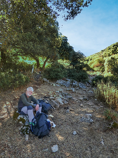
Another day starting easy and finishing hard, very hard.
The INTERSPORT streamers have guided us since we left Montejaque
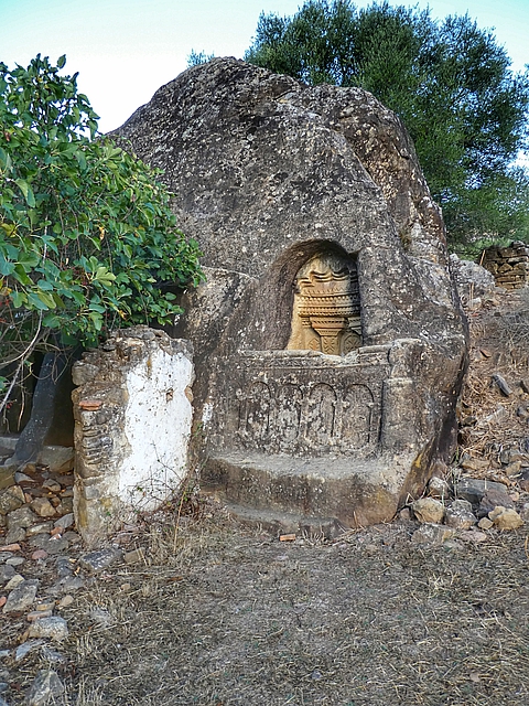
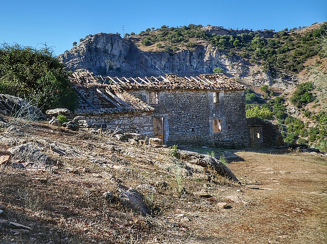
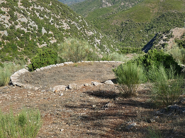
A 6th century hermitage made from a hollowed out sandstone outcrop, subsequently used as a wine press
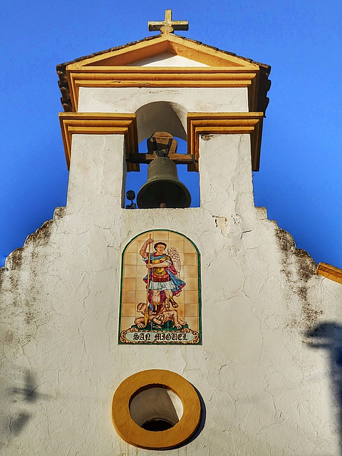
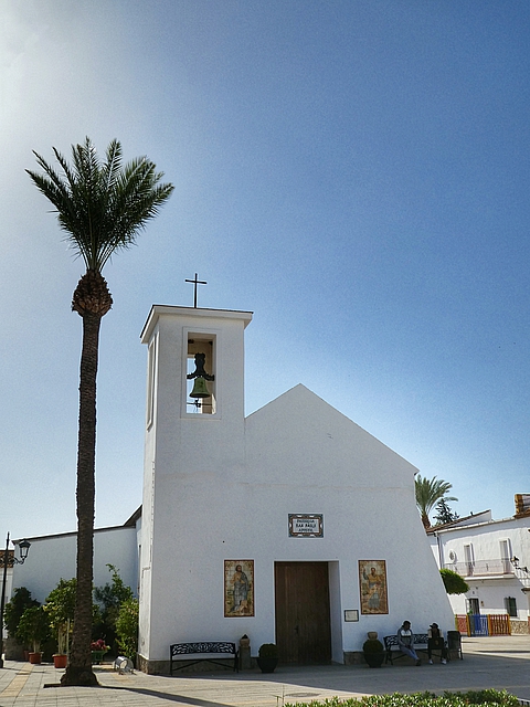
There’s a similarity to all the churches around here
And we were thinking this will be a nice easy day
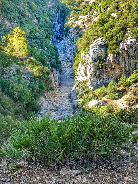
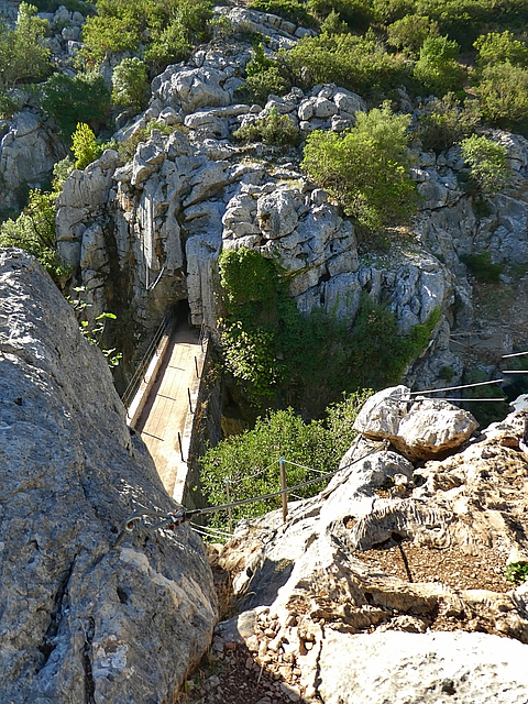
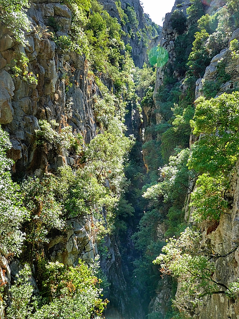
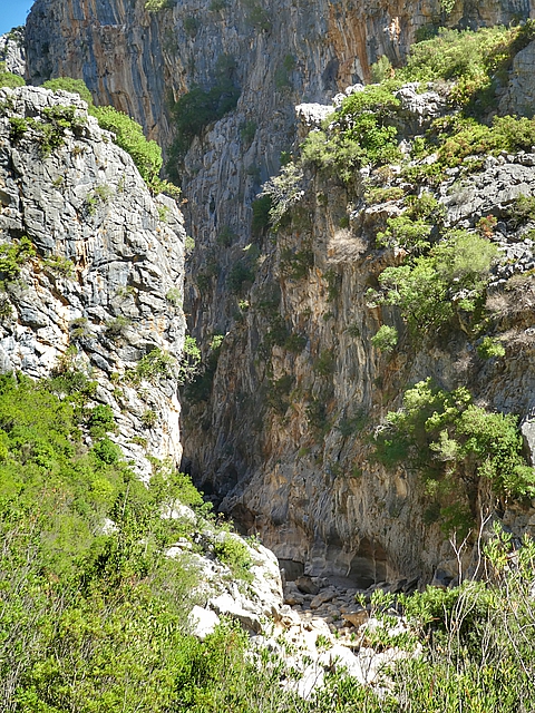
Further into the canyon, there’s a drop of 200 meters with a width of about 1 meter
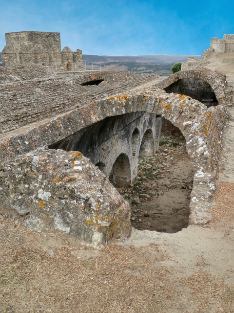
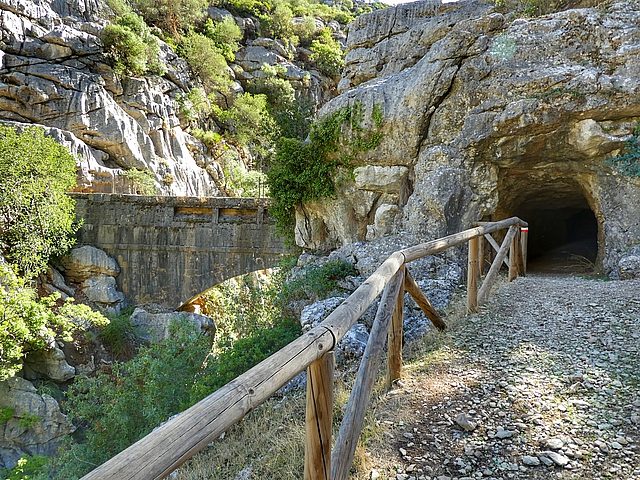
Built in 1918 by Belgium not Germany!
We struggled
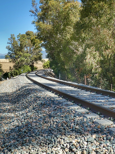
From the bottom it’s a straight forward 3 km walk along the Guadiaro River to El Colmenar (pop 484, altitude 243m), locally called Estación de Gaucin which came into being at the end of the 19th century with the construction of Mr Henderson’s Railway line from Algeciras to Ronda.
Saturday 15 October 2022: El Colmenar to Jimena de la Frontera
Distance: 19.8 km Time: 6:00 Ascent: 470m Descent: 580m – Wikiloc
Day 16 of the Andalucian Coast to Coast is shown as 25 km, Grade: Difficult, Advice: The middle section of the stage is becoming overgrown in parts. We opted instead to walk the Camino de Santiago Via Serrana in the reverse direction. Walking a Camino in reverse is a navigation challenge since the arrows are generally not visible so GPS is essential. We had no difficulties.
Our track was “rolling hills” but fairly easy as it was mostly on dirt roads or tacks, no rocky steps like the previous two days.
Sunday 16 October 2022: Jimena de la Frontera – Rest Day
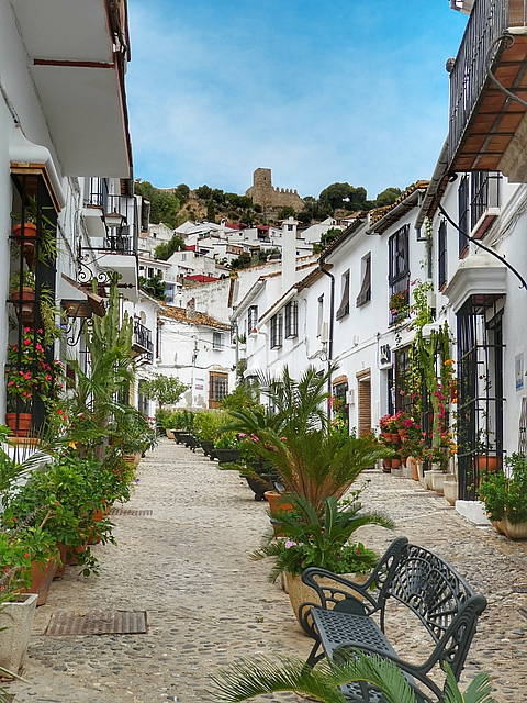
Jimena de la Frontera (pop 6665, altitude 137m) Paleolithic, Phoenician, Roman, Visigoth, Byzantine, Muslim, Christian, French and now Expats were all here. It’s a very attractive town and ideal for a rest day.
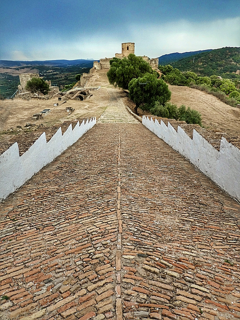
Located in the highest part of the town, the strategic location of Jimena de la Frontera Castle with views that extend as far as the sea made this an important frontier enclave, first Nasrid and later Christian. It was built by the Arabs on the remains of an old Roman city and reconquered mid 15th century.