Thursday 27 February 2020: Nerja
We travelled by train from Galicia to Madrid and Malaga and then bus to Nerja where we spent the night before starting the Andalucian Coast to Coast walk – 420 km from Maro on the Mediterranean to Bolonia on the Atlantic traversing the region’s mountainous interior.
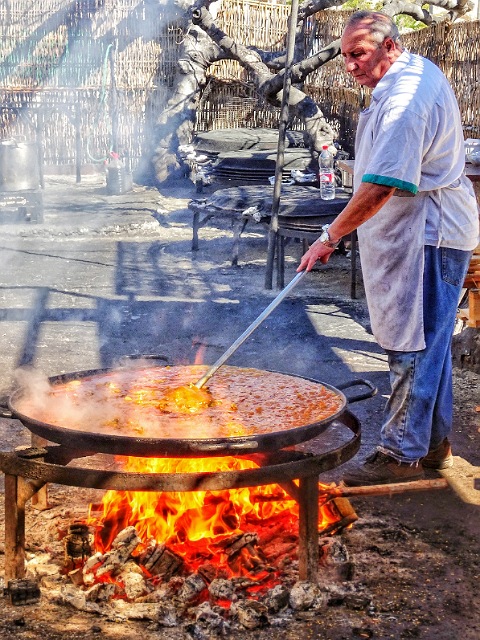
We’d been here 5 years ago and were looking forward to a paella at El Chiringuito de Ayo, a beach shack on Burriana beach. The same men have been making the same paella over a wood fire for years and it was exactly as we remembered. Same price – 8€ ($13) for as many plates as you can eat (there are no half plate refills).
Friday 28 February 2020: Maro to Frigiliana
Distance: 16.4 km Time: 6:30 Ascent: 1000m Descent: 680m – Wikiloc
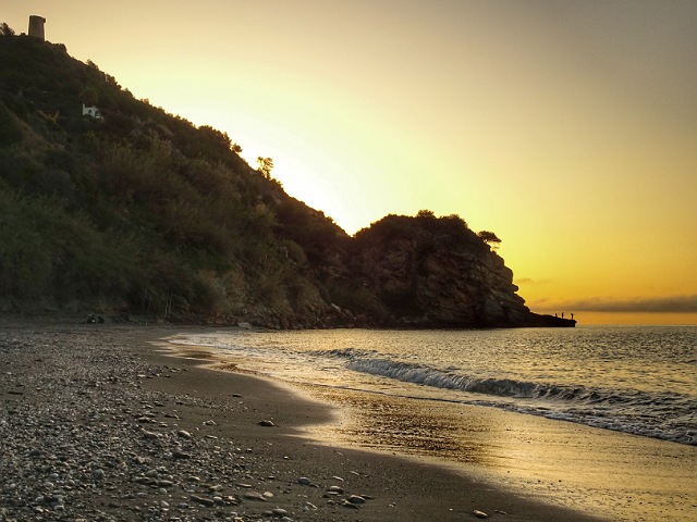
It’s about a 10 minute taxi ride from Neja to Maro Beach where the Coast to Coast walk begins. We left at 8am in cool (12C) perfect walking conditions.
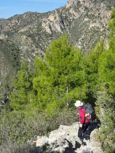
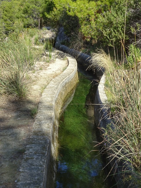
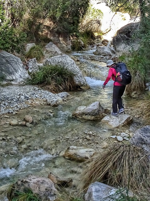
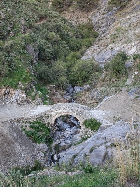
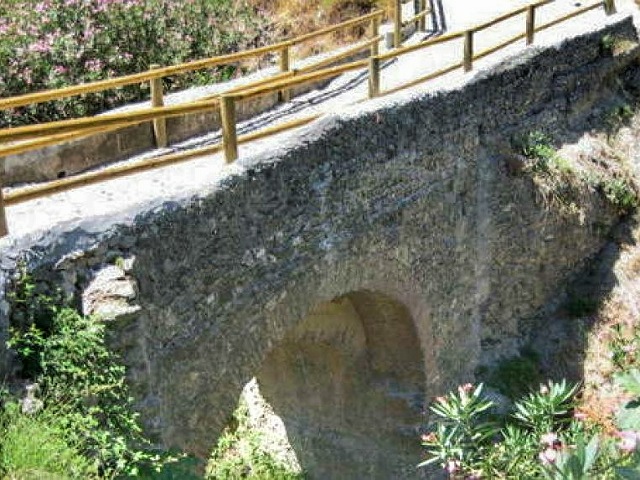
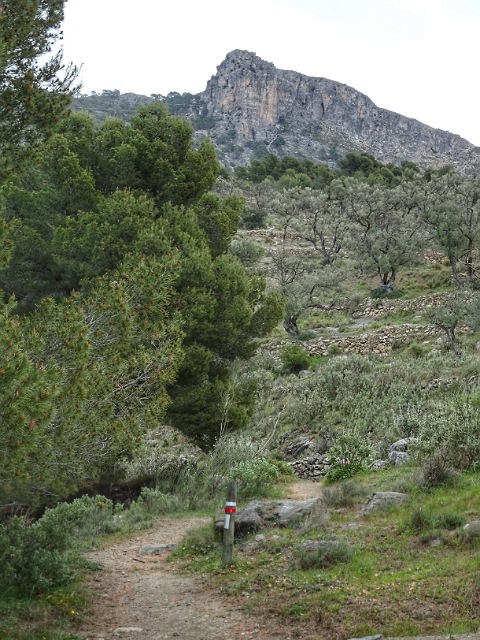
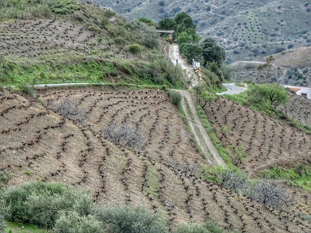
Easy going for the first half, there’s a steady 500m climb along a wide dirt forest road. Following the GR249 it then descends, zigzaging down a narrow gravel track to cross a small stream before climbing steeply to the first pass. The next two passes are a little easier, nevertheless a hard day.
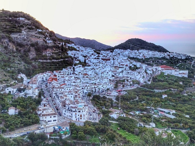
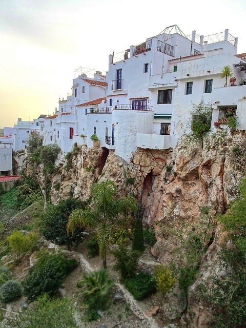
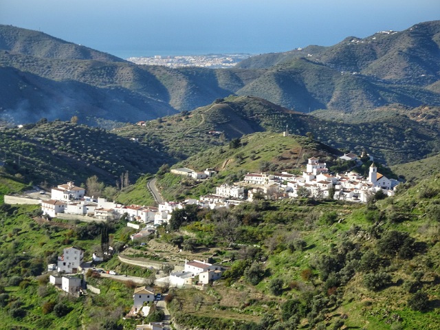
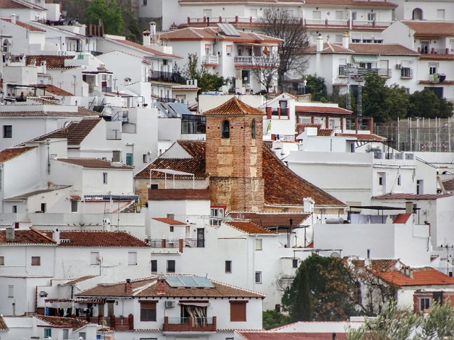
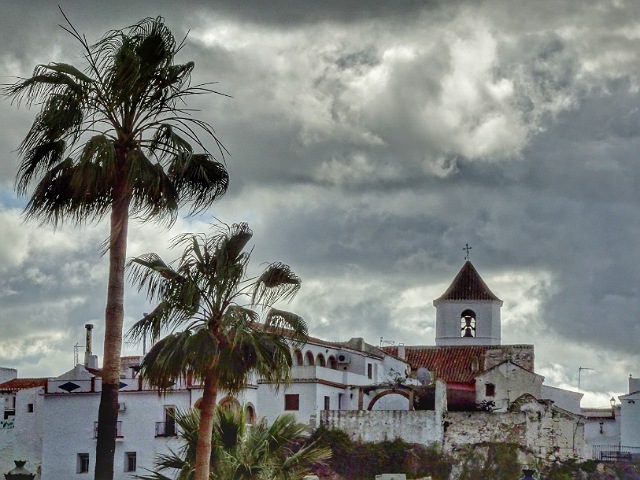
Frigiliana (pop 3000), recognized as “Spain’s most beautiful and well-preserved village”, was occupied by the Moors before and after the Reconquest. Today was the Dia de Andalucia long weekend holiday with the town full of excited Spanish tourists. We were here in 2015 – photos.
Saturday 29 February 2020: Frigiliana to Competa
Distance: 18.9 km Time: 5:40 Ascent: 950m Descent: 640m – Wikiloc
Rather than following a narrow overgrown path up the hill, we took the “easy” way to Acebuchal using the Gran Senda de Malaga – GR 249 which did involve about 3km of road walking but without much traffic at 8am on Saturday morning.
After Acebuchal there’s a massive climb of 500 meters in 4km. It’s all on a dirt road though so not as hard as yesterday. Competa is then about 5km and 300 meters downhill from the Puerto Collado. Our Competa photos from 2015 are here.
In 1948 the Guardia Civil cleared it of its 200 inhabitants and it became the “Lost Village“
In 1998 the son of one of the original villagers returned to restore the village
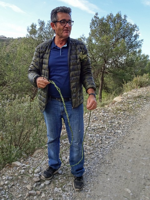
He explained his ancestors used it to throw rocks at goats but he justs makes it for fun
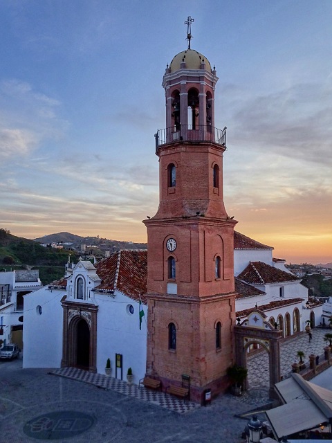
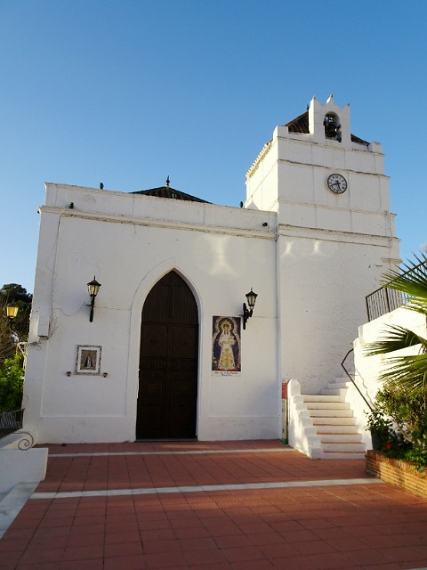
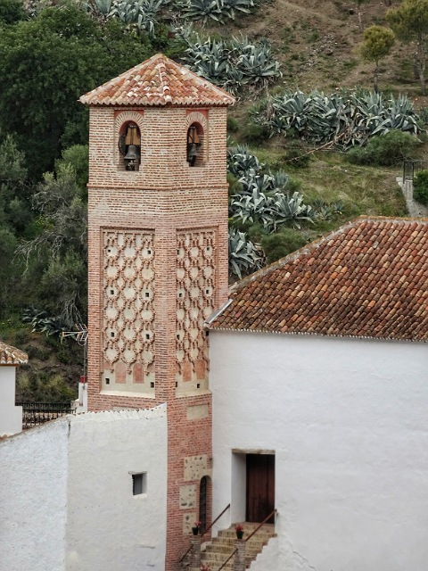
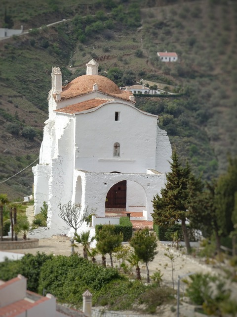
The Church was built in 1505
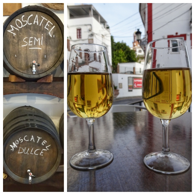
We developed a taste for the dry and fruity seco after a few sips
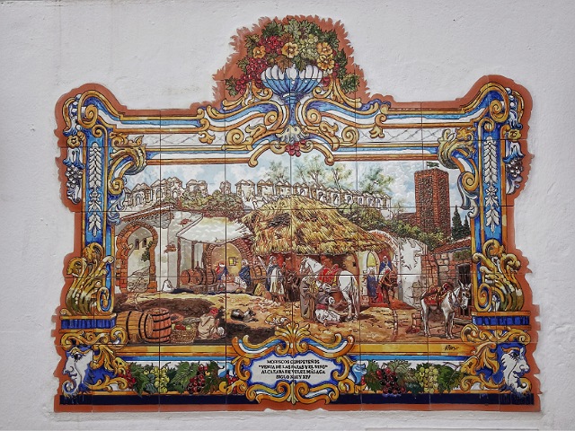
This one shows Moriscos (converted Moors) selling raisins and wine in the 13th century
Sunday 01 March 2020: Sedella to Competa
Distance: 19.5 km Time: 6:45 Ascent: 980m Descent: 1020m
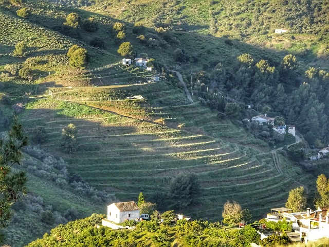
The Andalucian Coast to Coast walk would go from Competa to Sedella but we decided to stay in Competa, take a taxi to Sedella and walk back via the Ruta Mudejar. We like the villages of Sedella, Salares, Canillas de Albaida and Árchez with their Moorish history and architecture. 2015 photos here.
This route could probably be walked in less than 15km but we made it up as we went and took a few “short cuts” so it turned into almost 20km but without packs fairly easy on a beautiful day.
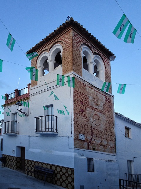
The bunting is for Andalucia Day
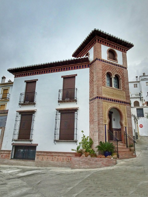
16th-century Mudejar, built by the Arabs at the time of the reconquest serving them as a fort

Monday 02 March 2020: Sedella to Alcaucin
Distance: 16.3 km Time: 4:30 Ascent: 480m Descent: 650m – Wikiloc
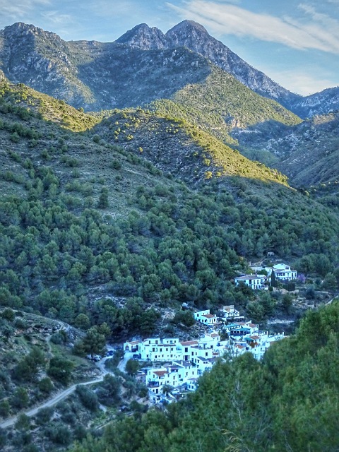
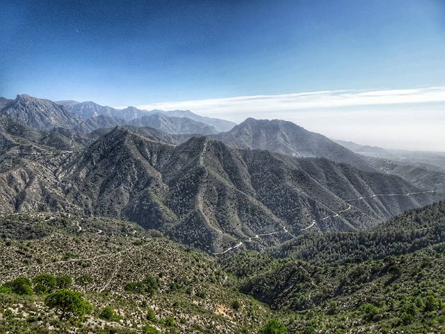
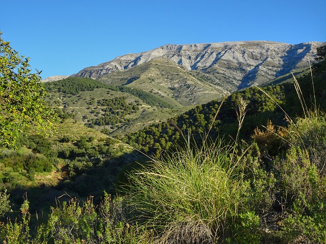
We woke to rain, wind, cloud obscuring the 2,069m peak of La Maroma and a forecast for storms in the mountains. In any case we wanted to go via the Mudejar village of Canillas de Aceituno. The footpath, GR249, was temporarily closed for maintenance so we walked on the road after taking a taxi back to Sedella.
This turned out for the best as although the rain stopped as we started walking the wind got stronger as the cloud built up. We had a fine view in clear weather below the cloud, almost no traffic and easier walking.
The place from which the Moors oversaw the silk worm and mulberry leaf trade (Aceituno is derived from the Arab word “Azeytuni” – woven and dyed silks)
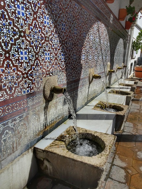
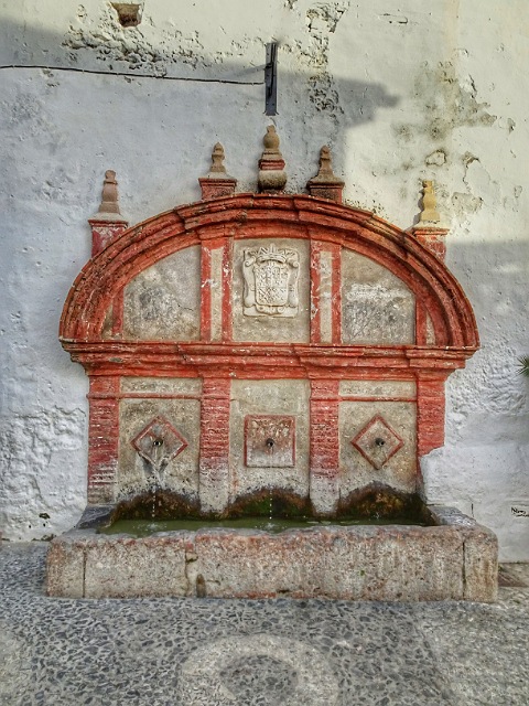
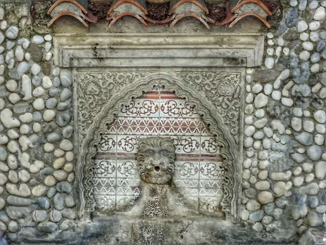
According to tradition, if you drink from the middle pipe, you will marry a young person from the village
Tuesday 03 March 2020: Alcaucin
A rest day in Alcaucin (pop 2300) at an altitude of 500m, a town with a typical Moorish layout, steep narrow streets and white houses.