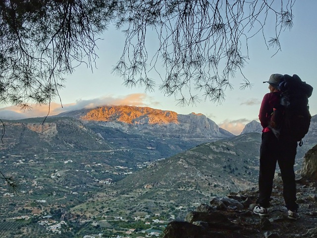
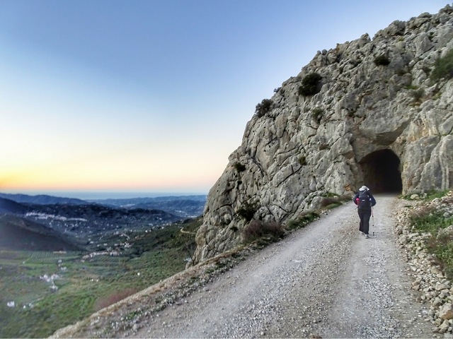
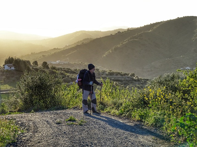
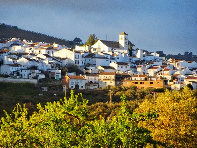
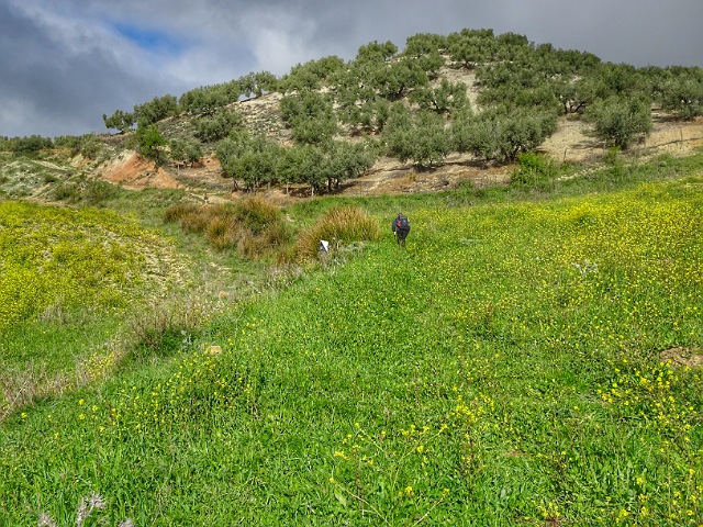
Wednesday 04 March 2020: Alcaucín to Ventas de Zafarraya
Distance: 18.8 km Time: 5:30 Ascent: 800m Descent: 390m – Wikiloc
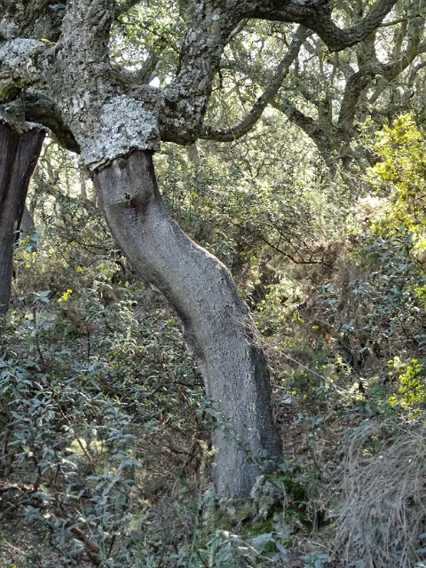
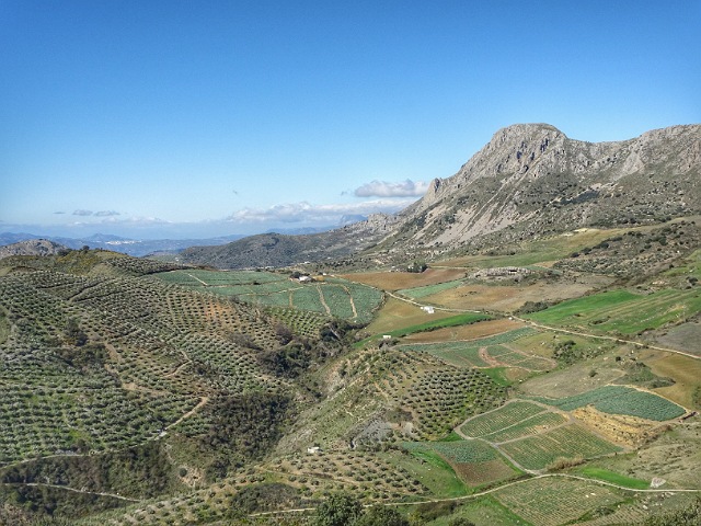
This was a fairly easy day climbing, mainly on wide dirt roads, from 500m at Alcaucín 10 km up through forest to 1070m then descending to 900m at Ventas de Zafarraya.
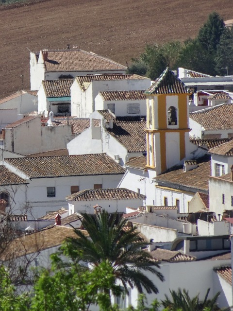
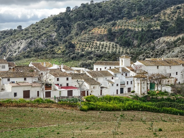
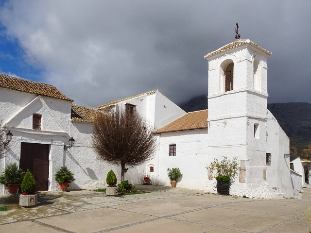
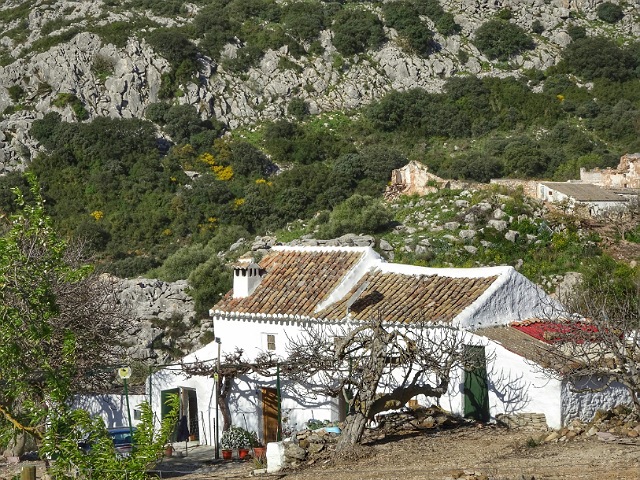
Ventas de Zafarraya is a small (pop 1100) farming village settled since the 6th century A.D. Destroyed by an earthquake in 1884 and rebuilt with funds from Cuba, for a while it was called Nueva Habana.
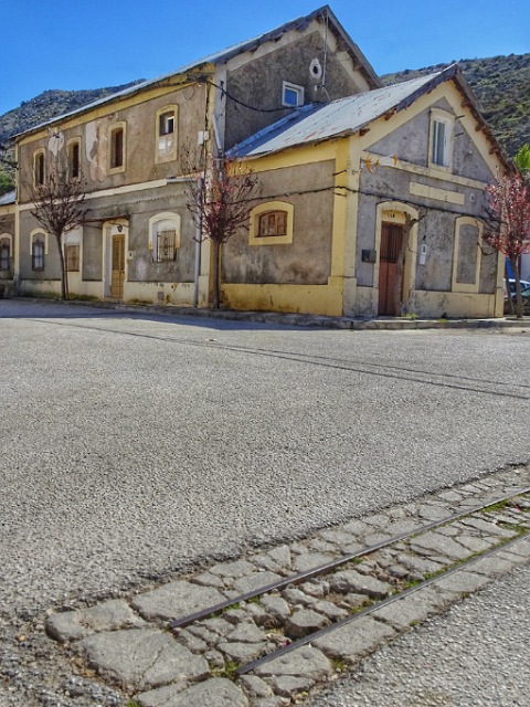
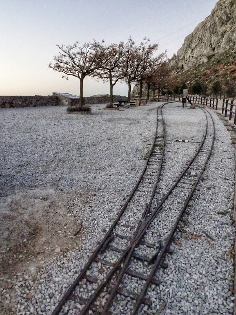
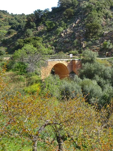
A narrow guage rack railway ran to Malaga from 1922 till 1960 taking fruit and vegetables to the coast
Thursday 05 March 2020: Ventas de Zafarraya to Riogordo
Distance: 23.1 km Time: 5:30 Ascent: 320m Descent: 830m – Wikiloc
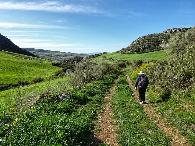
We left at dawn for the longest day so far, a cold wind blowing.
There’s a rare 5 km of level ground following the old Ventas de Zafarraya to Malaga railway line. After that more down than up mostly on farm roads and paths avoiding the car roads. We found the 23 km day tiring.

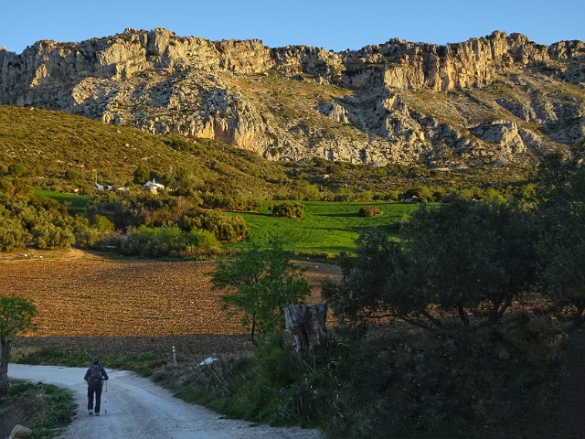
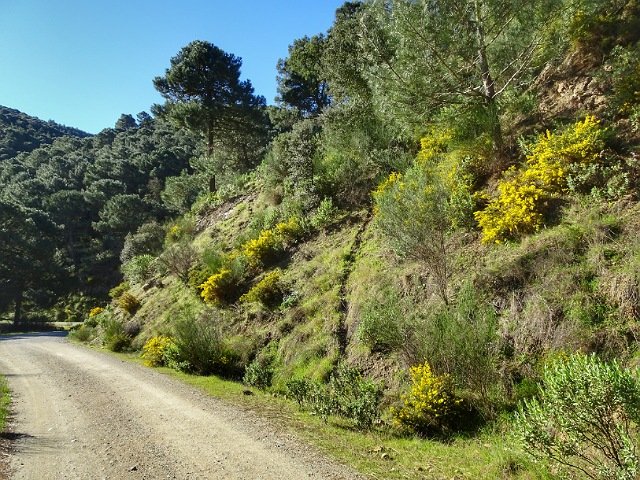
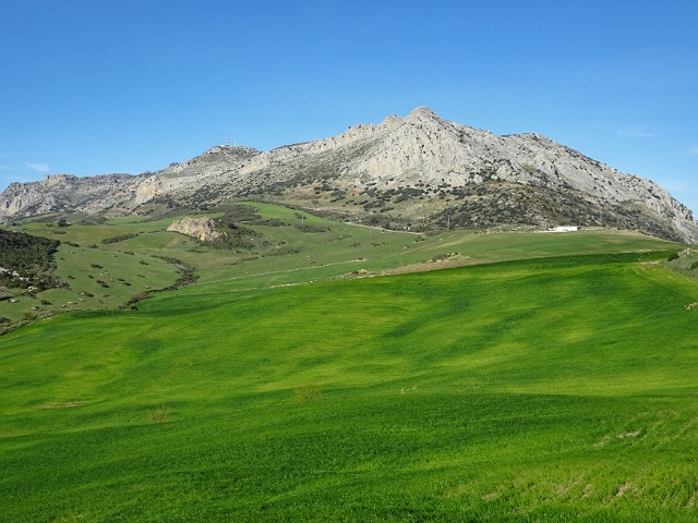
Friday 06 March 2020: Riogordo to Villanueva de Cauche
Distance: 18.4 km Time: 4:45 Ascent: 700m Descent: 360m – Wikiloc
Howling, blustering winds strong enough that we had to stop and brace against the gusts kept us in our jackets all day. There are two 300m climbs.
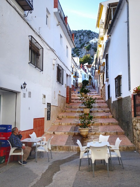
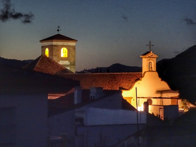
Villanueva de Cauche is a classic small (pop 65) Spanish village favoured by television advertisers as a background. Since the 17th century the tenants of these homes paid a tithe of their production of fruits, eggs, or laying hens to the Marques who owned the village. Only in 2005 did this system cease.
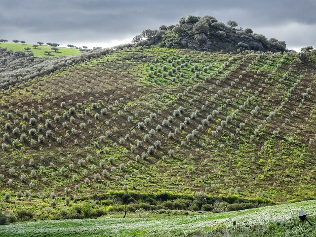
Saturday 07 March 2020: Villanueva de Cauche to Villanueva de la Concepción
Distance: 13.8 km Time: 3:30 Ascent: 290m Descent: 430m – Wikiloc
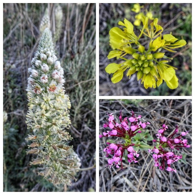
About 2.5 km climb, 2 km rolling hills then mostly down, the walk follows the old Cañada Real (Royal Drovers’ Path) that went from Málaga to Madrid. It was a beautiful sunny day with light cool breezes.
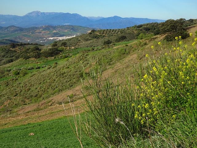
Sunday 08 March 2020: Villanueva de la Concepción to Valle de Abdalajís
Distance: 20.8 km Time: 5:30 Ascent: 500m Descent: 750m – Wikiloc
Today started with a climb of about 450m in 8 km following the Camino Mozarabe. Climbs are best first thing in the morning!
Valle de Abdalajís (pop 2500) at 350m is lower than the other villages we walked through and the vegetation is changing. Prehistoric people passed through here. It has been settled by Romans, Vandals and Visigoths.